
Brittany

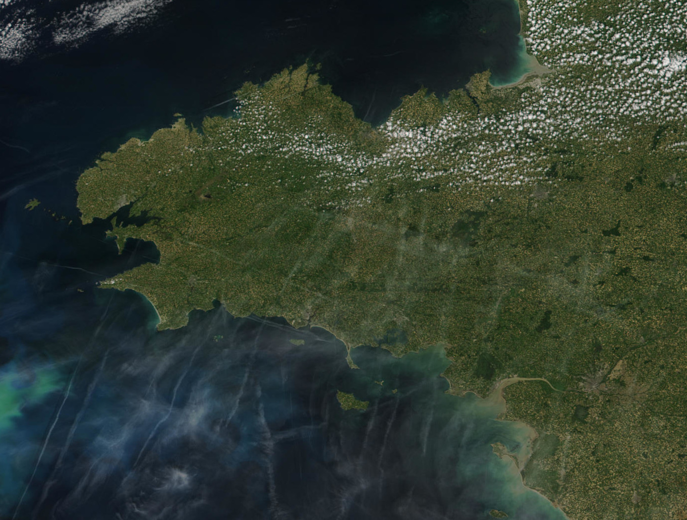


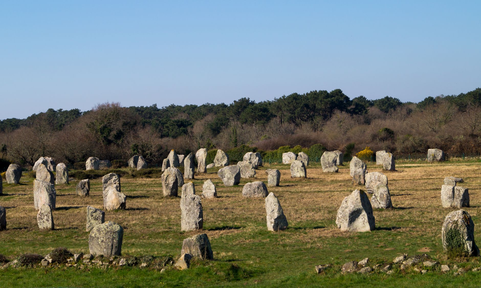
Stand in a field outside Carnac and you're surrounded by more than three thousand standing stones arranged in long east-west rows — some alignments running to over a thousand stones — and the people who placed them there did so in the third millennium BCE. That's the register Brittany operates on. The Atlantic coast is raw and salt-bitten, the interior is old forest and granite, and the walled towns feel like they were built to last, because they were.
This is the westernmost reach of France, and it has always known it. The language, the food, the festival calendars — all of it carries the trace of a Celtic identity that arrived from Britain in the fifth and sixth centuries and never entirely left.
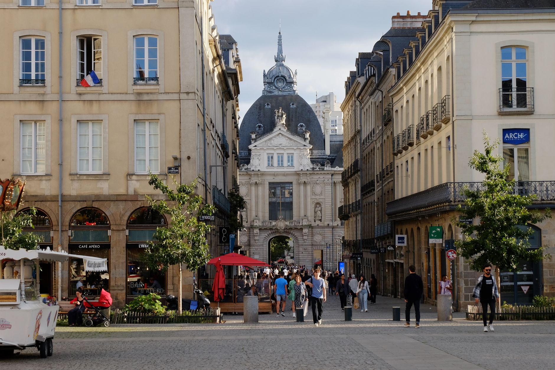
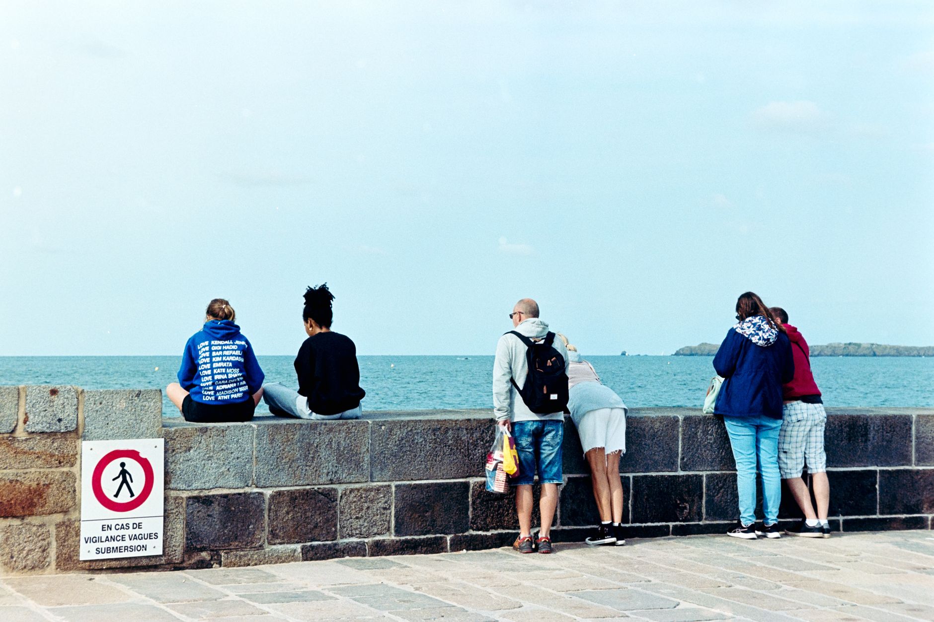
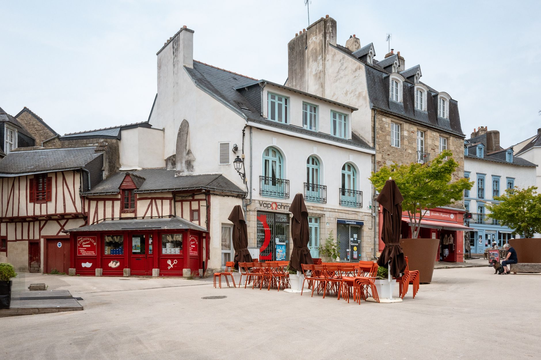
Popular cities in Brittany
Experiences you don't want to miss



How Brittany came to be
Julius Caesar absorbed this Atlantic peninsula into the Roman Empire in 56 BCE, calling it Armorica. When Rome withdrew, the vacuum drew Celtic migrants fleeing the Anglo-Saxon push into Britain — and it is from that crossing that Brittany takes its name. By 845, Louis the Pious had recognised Nominoë as king; five years later, Nominoë defeated Charles the Bald in battle and secured the region's autonomy. Alain II formalised it as a duchy in 939.
Brittany's absorption into France came not through conquest but through marriage: Anne, heir to the duchy, wed two successive French kings, Charles VIII and then Louis XII. The formal treaty of 1532 folded the province into France while guaranteeing local privileges — an arrangement whose echoes still surface in Breton politics today.
Who and what shaped it
People who shaped it
Landmark buildings
See Brittany in motion
Plan your visit
On the map
When to go
Summers are mild and often overcast along the coast, with Atlantic fronts rolling in even in July; spring and early autumn tend to give the clearest skies. Winters are wet and windy but rarely severe, and the light on the coast in November has its own cold quality.
Right now
↡ Cities
No places match these filters.
Background & history adapted from Wikipedia (CC BY-SA) · specs from Wikidata (CC0) · weather from Open-Meteo · map data © OpenStreetMap contributors · photos from Wikimedia Commons / Unsplash with per-image credit. No third-party reviews or social posts reproduced.