
Auvergne-Rhône-Alpes
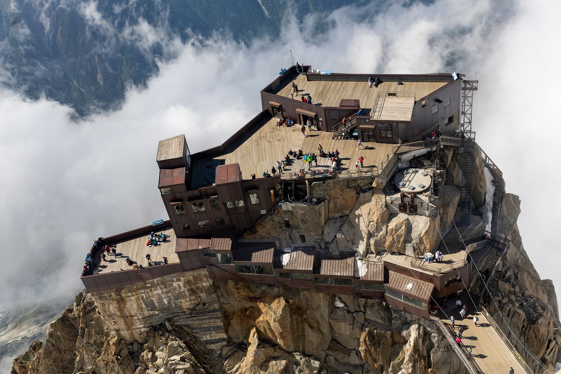
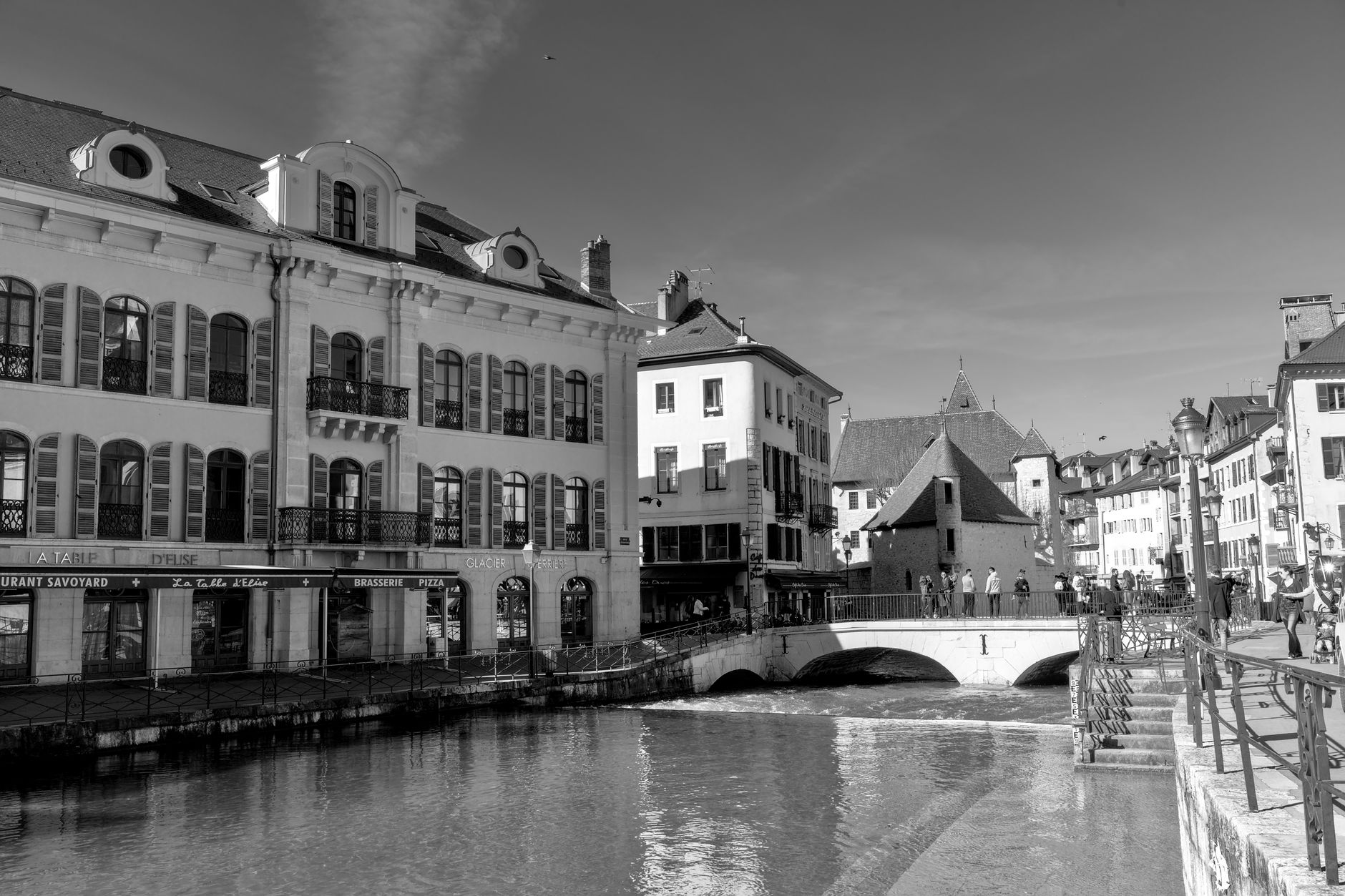


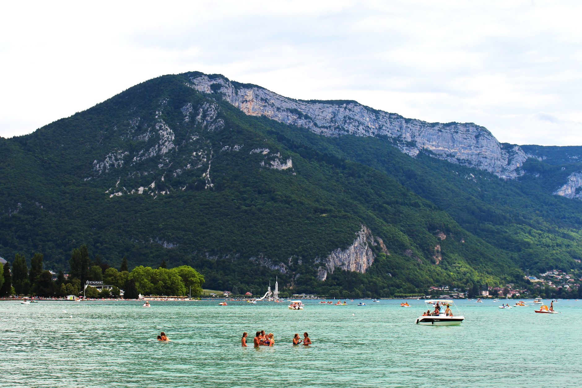
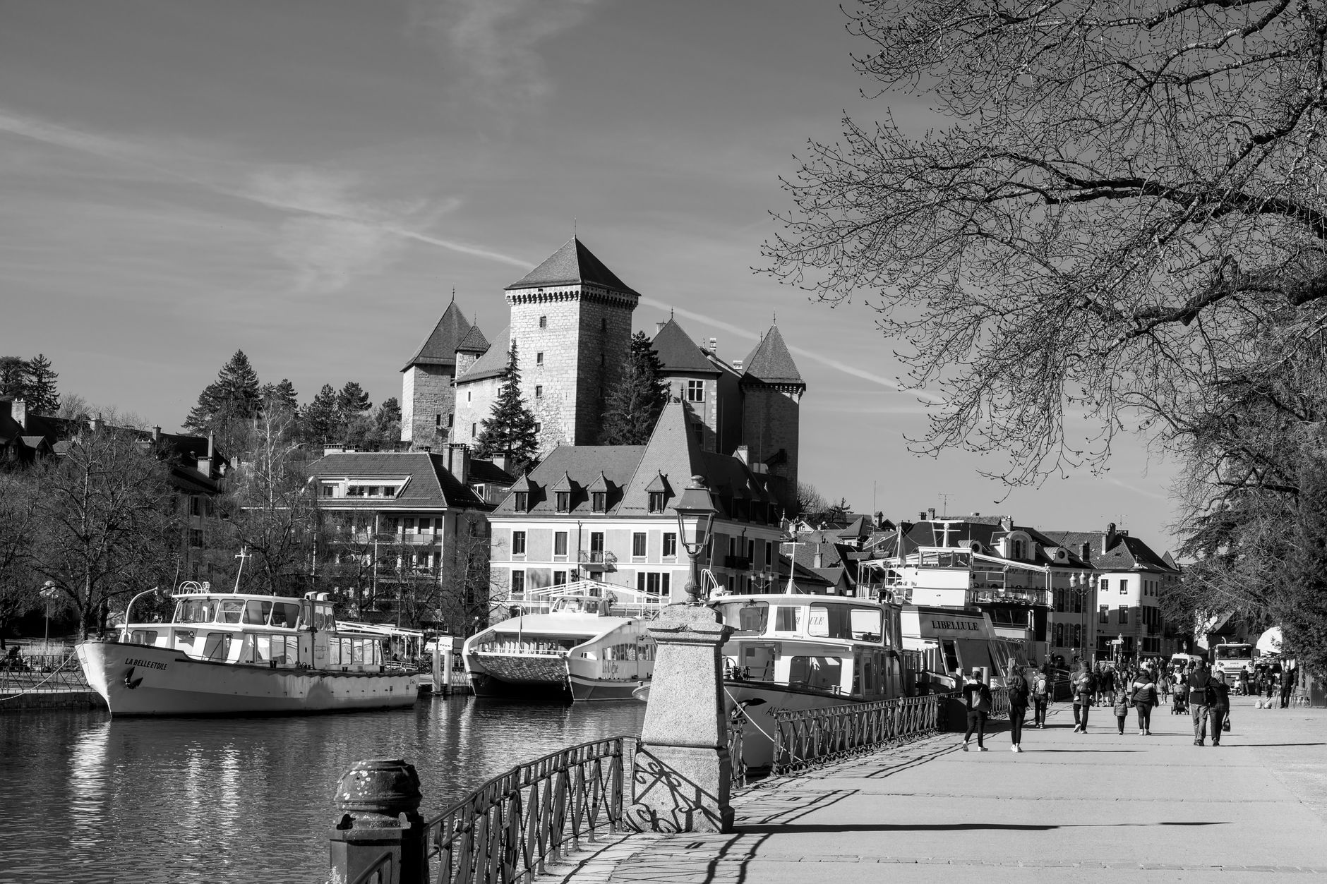
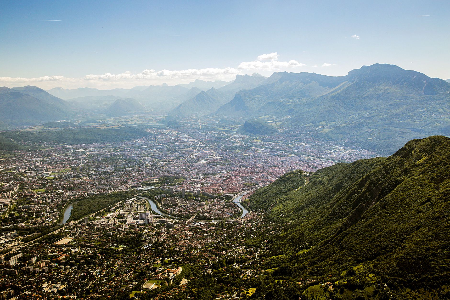
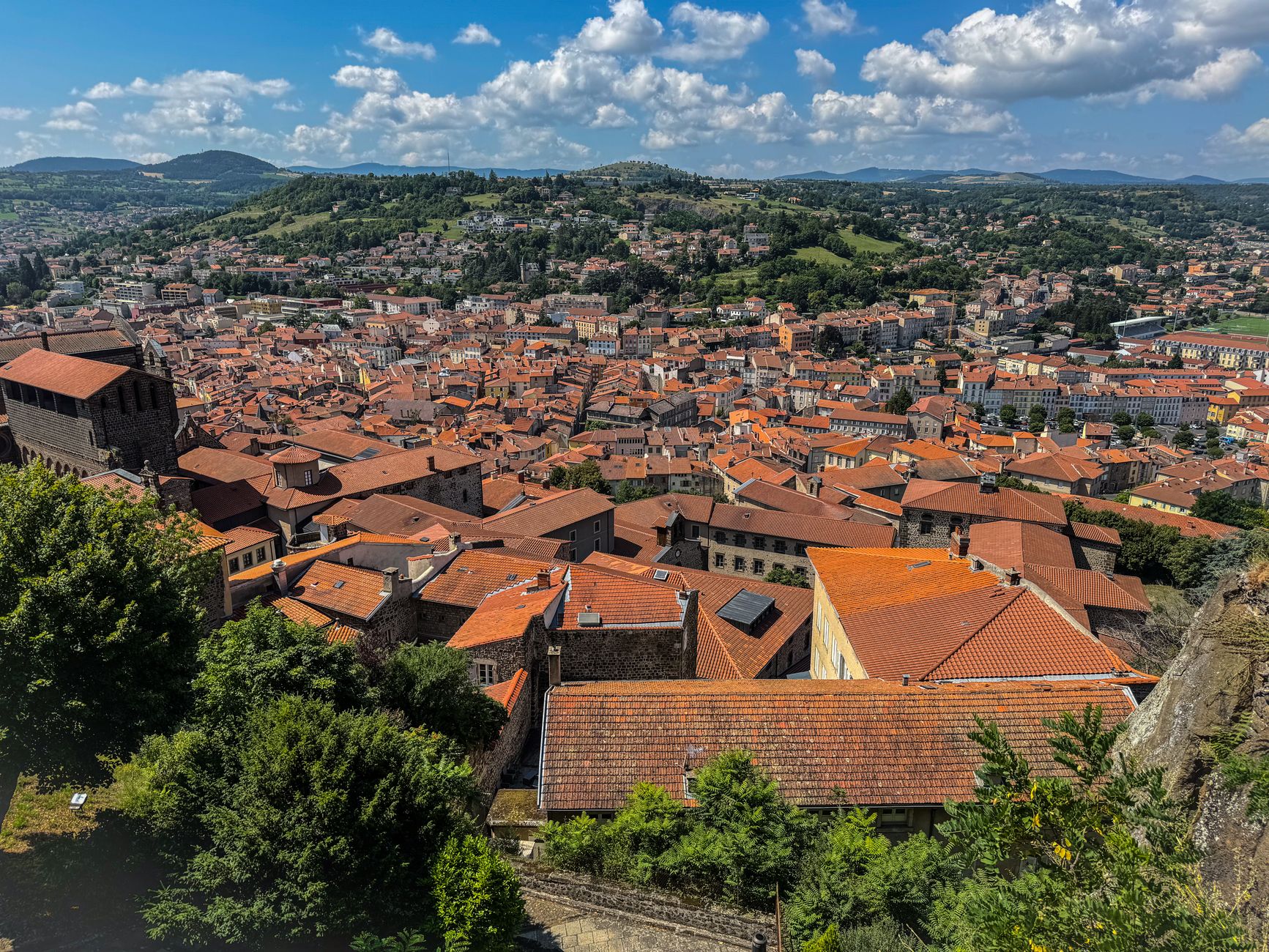
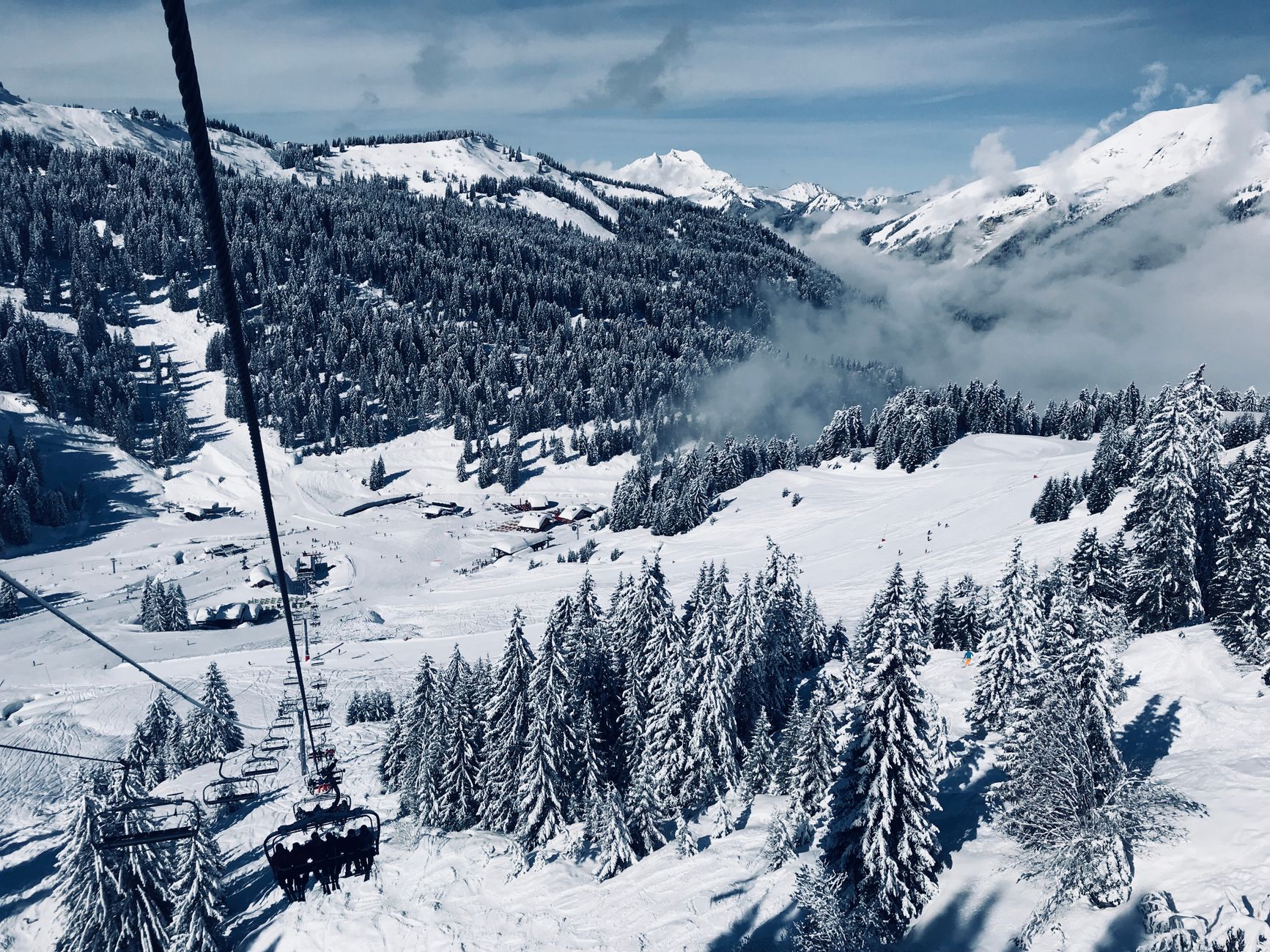
The region that merged two old French territories in 2016 runs from the extinct volcanoes of the Massif Central to the glaciated peaks of the Alps, a span so wide that the weather, the food and the architecture can all change completely within a single afternoon's drive. You'll find Roman temple foundations on the rim of the Puy de Dôme, a postman's obsessively pebbled palace in the Drôme, and two Le Corbusier buildings on UNESCO's list — all within the same administrative boundary.
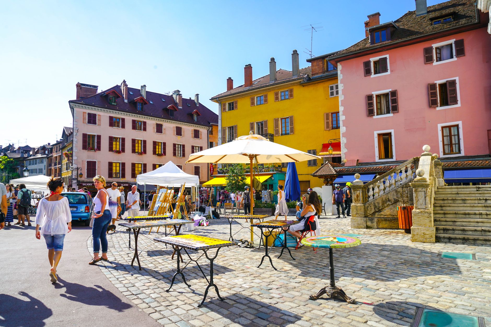
Lyon anchors the north with its bouchons and its Resistance history; Annecy's 12th-century island palace sits in a canal just wide enough for a rowing boat. The region doesn't have a single personality to summarise. That's the point.
Popular cities in Auvergne-Rhône-Alpes
Experiences you don't want to miss




How Auvergne-Rhône-Alpes came to be
People were painting walls in the Ardèche 30,000 years ago — the Chauvet cave is the oldest known painted cave on Earth, now replicated at Chauvet 2 for public access. Celtic Gauls settled the area before Roman legions absorbed it into the provinces of Lugdunensis and Gallia. In 1349 the Dauphiné was sold to the French crown, and the title Dauphin passed permanently to the heir apparent. The Duchy of Savoy followed in 1860 under the Treaty of Turin.
During the Second World War, Lyon became the operational centre of the French Resistance; Jean Moulin unified the movement from here. The present region is young by any of these measures — it was created by a 2014 territorial reform and came into effect on 1 January 2016, merging Auvergne and Rhône-Alpes into one.
Who and what shaped it
People who shaped it
Landmark buildings
See Auvergne-Rhône-Alpes in motion
Plan your visit
On the map
When to go
Summers can reach 42°C in July, while mountain winters drop to -27°C — the range is extreme for a single region. June through September is the most comfortable window for travel; November through March brings cold that can close high-altitude roads entirely.
Right now
↡ Cities
No places match these filters.
Background & history adapted from Wikipedia (CC BY-SA) · specs from Wikidata (CC0) · weather from Open-Meteo · map data © OpenStreetMap contributors · photos from Wikimedia Commons / Unsplash with per-image credit. No third-party reviews or social posts reproduced.