
Le Puy-en-Velay
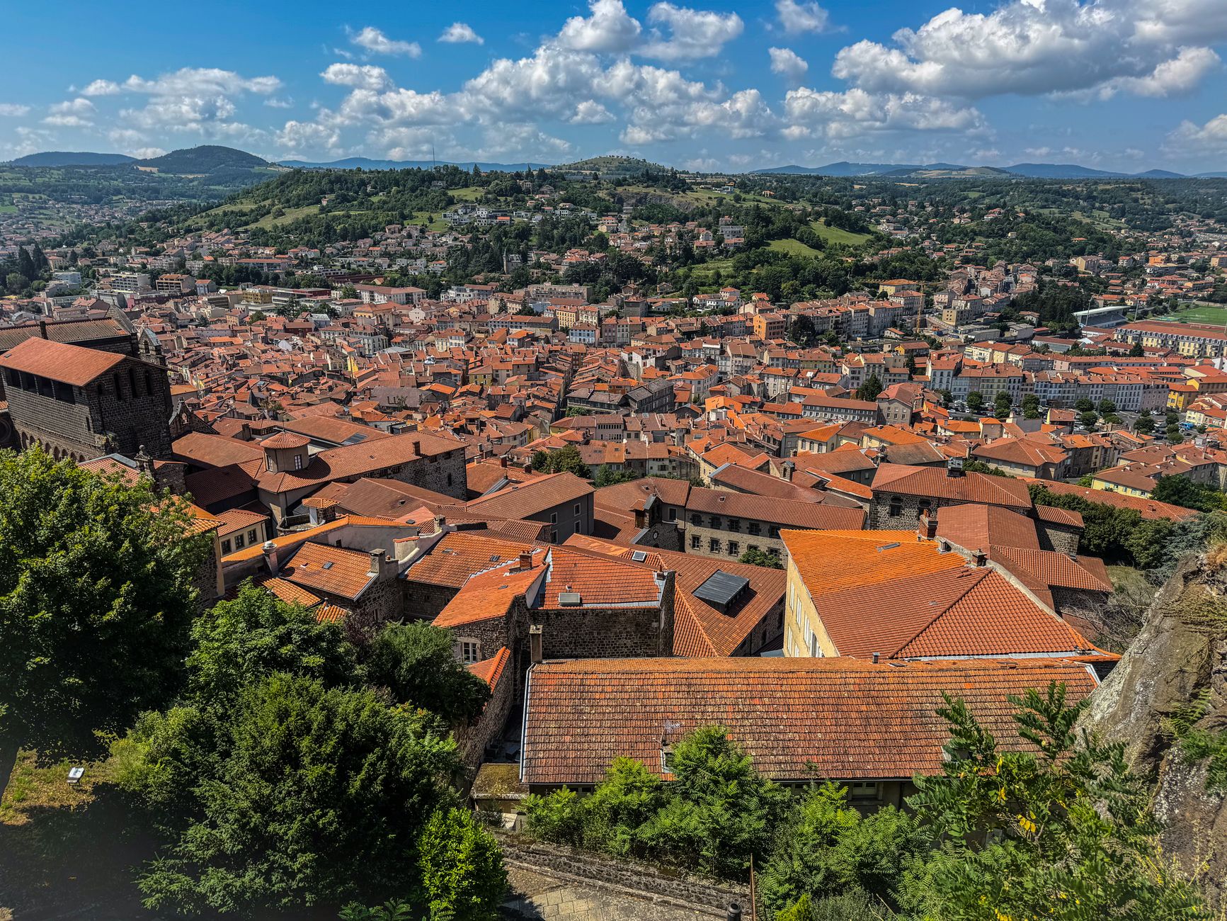
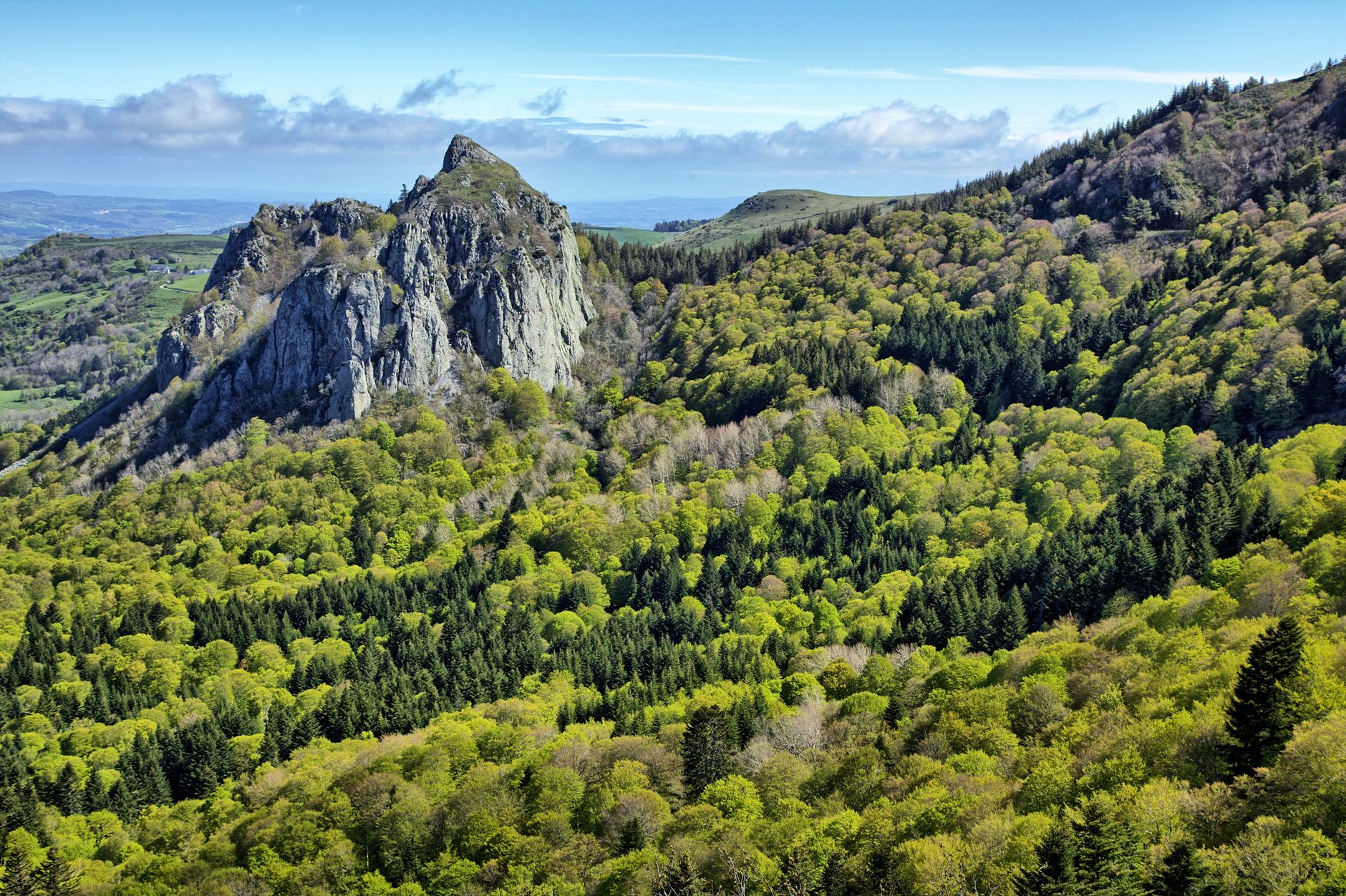
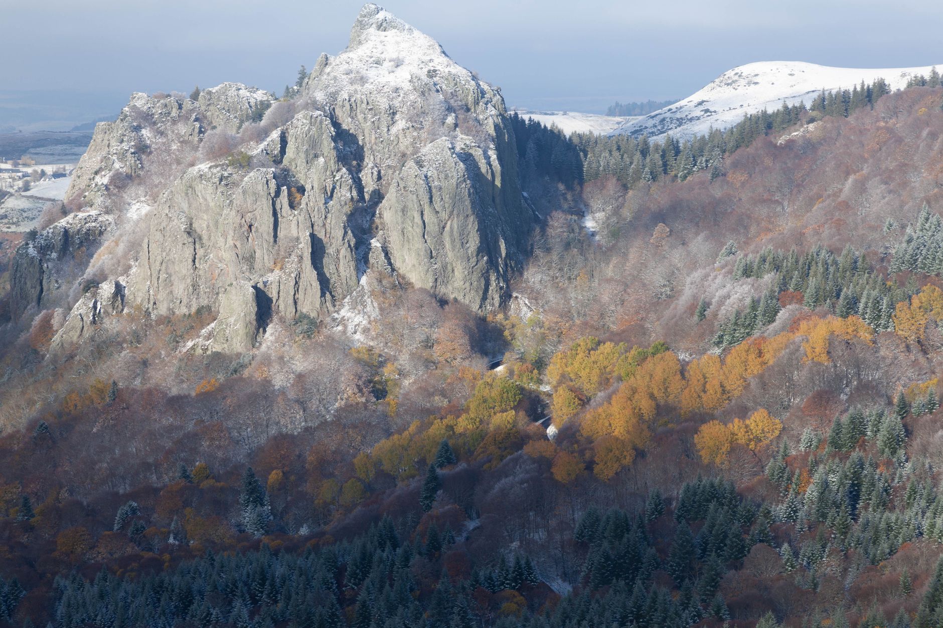
Le Puy-en-Velay announces itself before you arrive: three volcanic plugs rising from the basin of the Velay, each one topped with something improbable — a chapel, a statue, a cathedral. The cathedral is the one to start with. Its striped façade of white sandstone and black volcanic breccia sits at the top of 134 steps, and pilgrims have been climbing them since the 10th century, bound for Santiago de Compostela on a route that a bishop from this city first walked in 951.
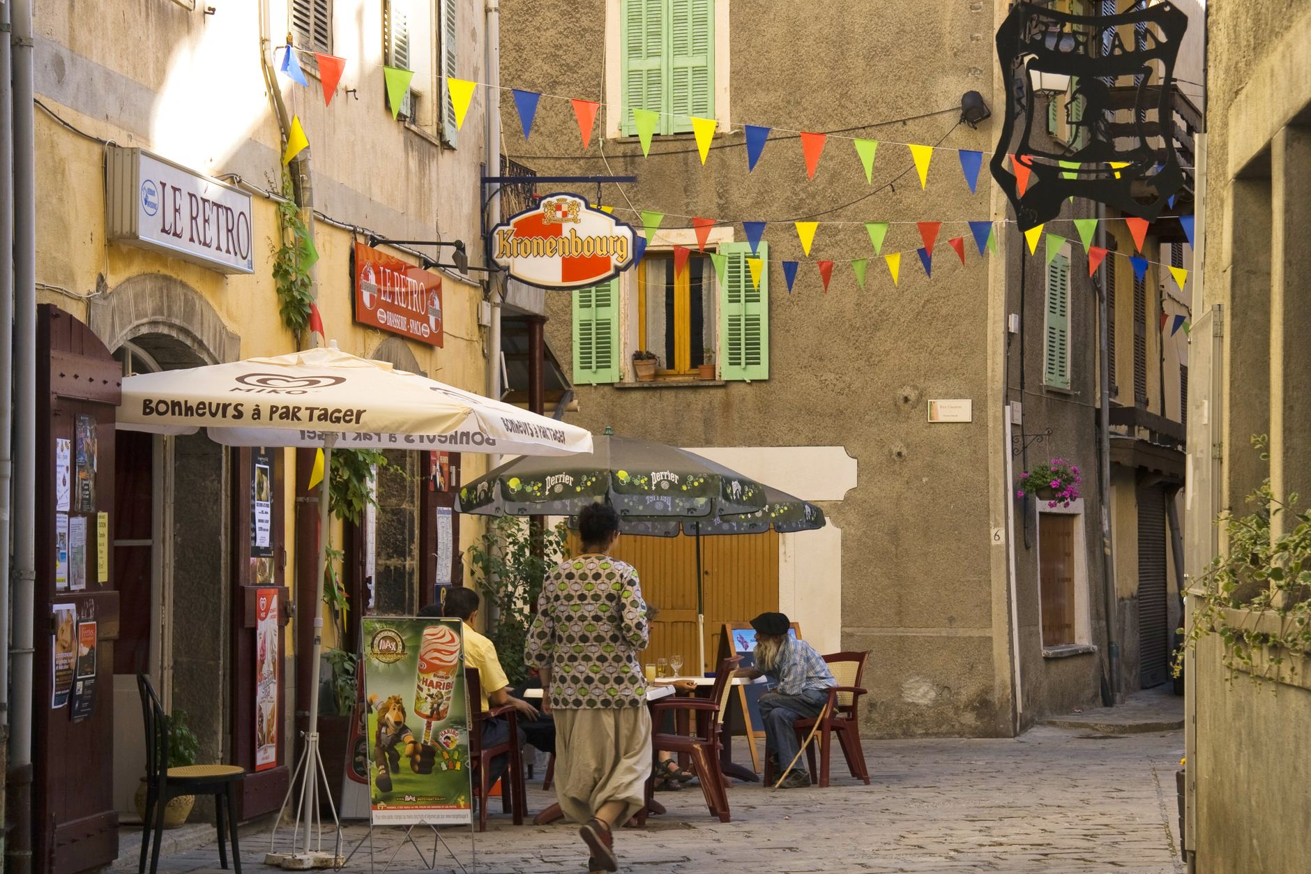
The town below is compact and unhurried, its sloping streets leading upward in several directions at once. Green lentils from the surrounding Velay plateau carry an AOC designation, and the locally produced verveine liqueur turns up everywhere. Neither feels like a performance for visitors.
💛 What travellers fall for
People who come back tend to time it for the morning, when the cathedral steps are quiet and the light hits the striped façade cleanly. The Chapelle Saint-Michel d'Aiguilhe — 268 steps up a sheer volcanic needle — rewards the climb with a view that reframes the whole city. The Crozatier Museum, funded by a bronze-caster's bequest, is consistently underrated.
Experiences you don't want to miss


Deals in Le Puy-en-Velay
Book directly at the providerHow Le Puy-en-Velay came to be
The settlement on the hill was known as Anicium in the Gallo-Roman era. A shrine stood where the cathedral now rises as early as 480 CE, and by the 6th century the episcopal see had moved here from the neighbouring town of Ruessium. The decisive moment for Le Puy's wider significance came in 951, when Archbishop Godescalc set out from the city for Santiago de Compostela — the first recorded French pilgrim to make that journey — effectively charting the Via Podiensis, one of the great pilgrimage roads of Europe.
In 1095, Pope Urban II used Le Puy as the launching point for the announcement of the First Crusade, with Bishop Adhemar of Le Puy — a man known for fighting alongside his own soldiers — appointed as papal legate. The cathedral and its cloister, built chiefly in the 11th and 12th centuries, have carried UNESCO World Heritage status since 1998, as part of the broader network of French pilgrimage routes to Santiago.
Who and what shaped it
People who shaped it
Landmark buildings
See Le Puy-en-Velay in motion
Plan your visit
On the map
When to go
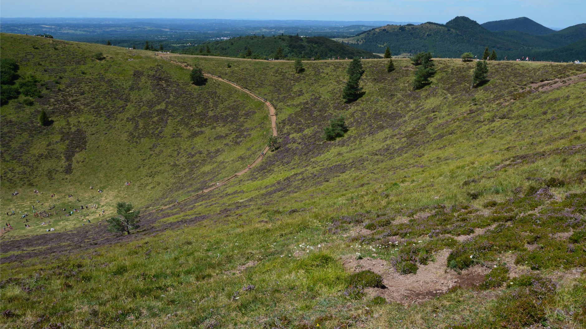
Summers are warm and relatively dry, making June through September the most comfortable window for walking the volcanic terrain; spring brings green hills but unpredictable rain. Winters are cold and can be sharp at this elevation — the city sits at around 630 metres — with occasional snow that transforms the basalt skyline considerably.
Right now
Background & history adapted from Wikipedia (CC BY-SA) · specs from Wikidata (CC0) · weather from Open-Meteo · map data © OpenStreetMap contributors · photos from Wikimedia Commons / Unsplash with per-image credit. No third-party reviews or social posts reproduced.