
Amalfi Coast (Campania)
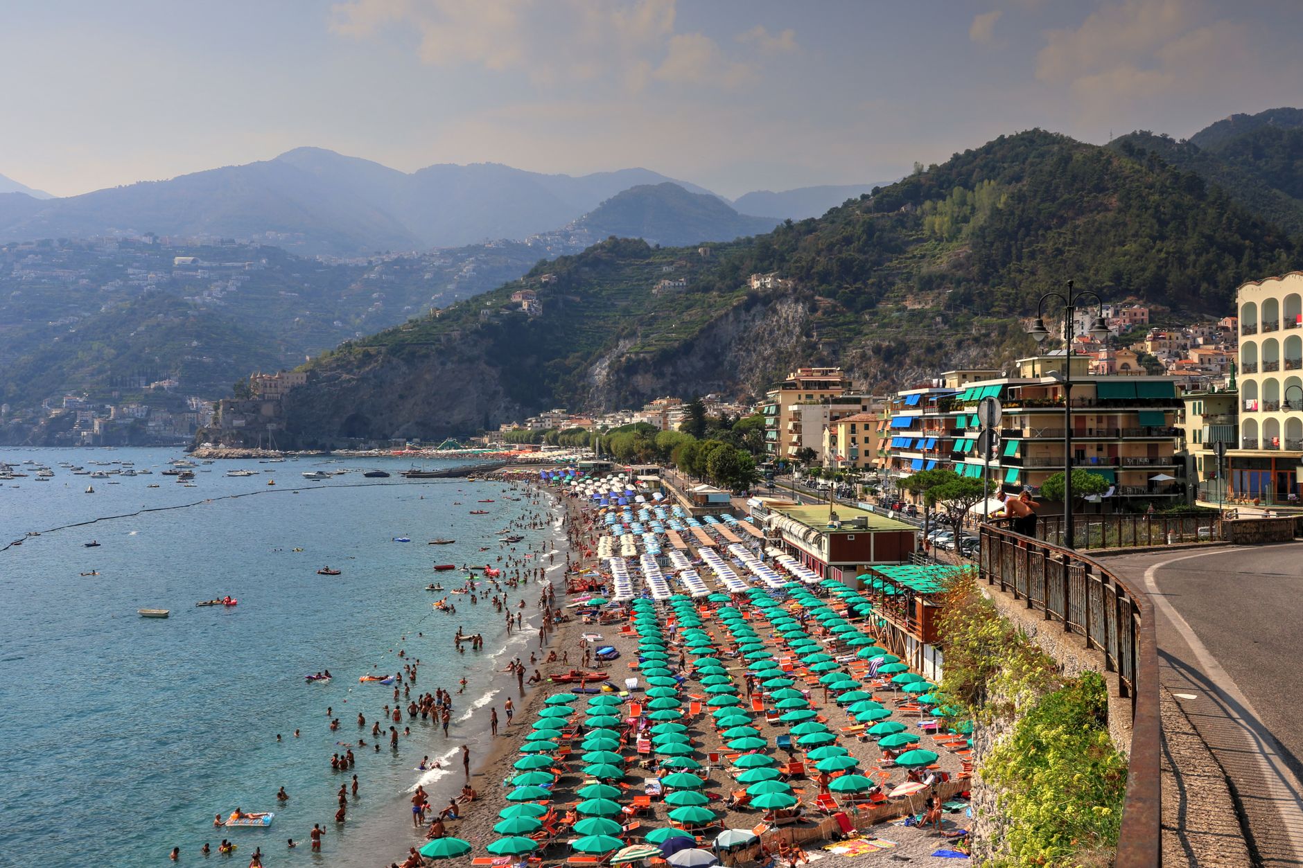
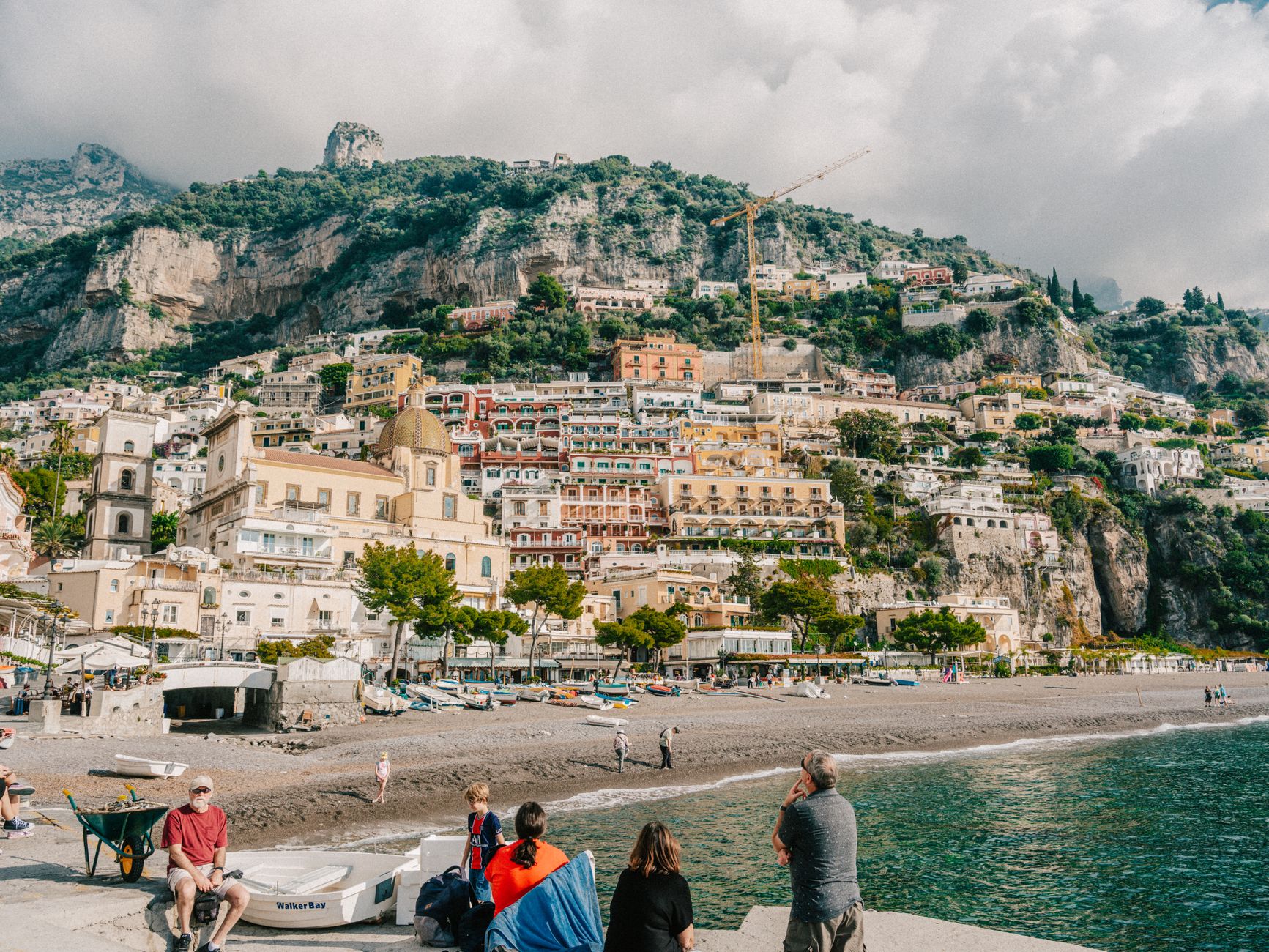
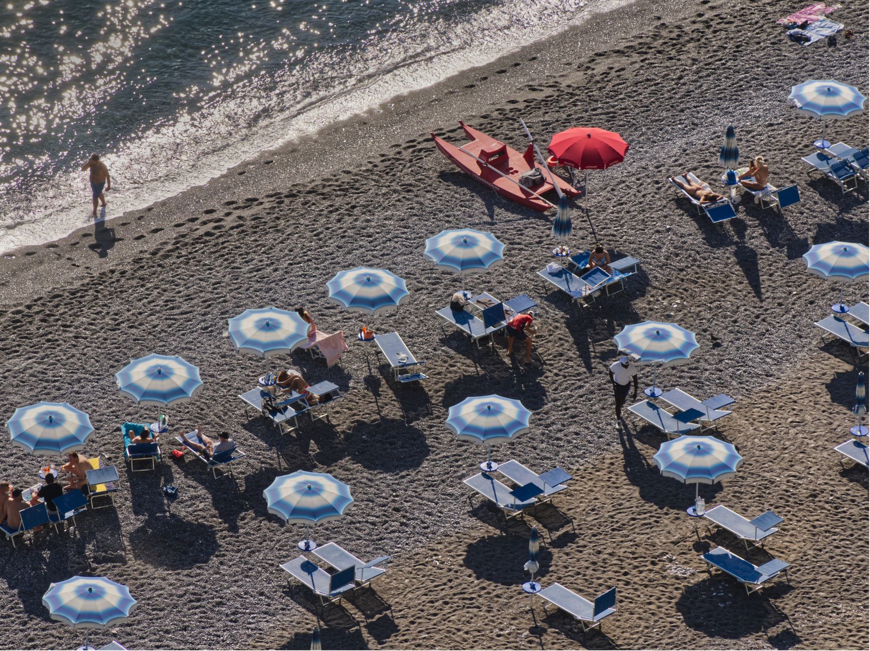
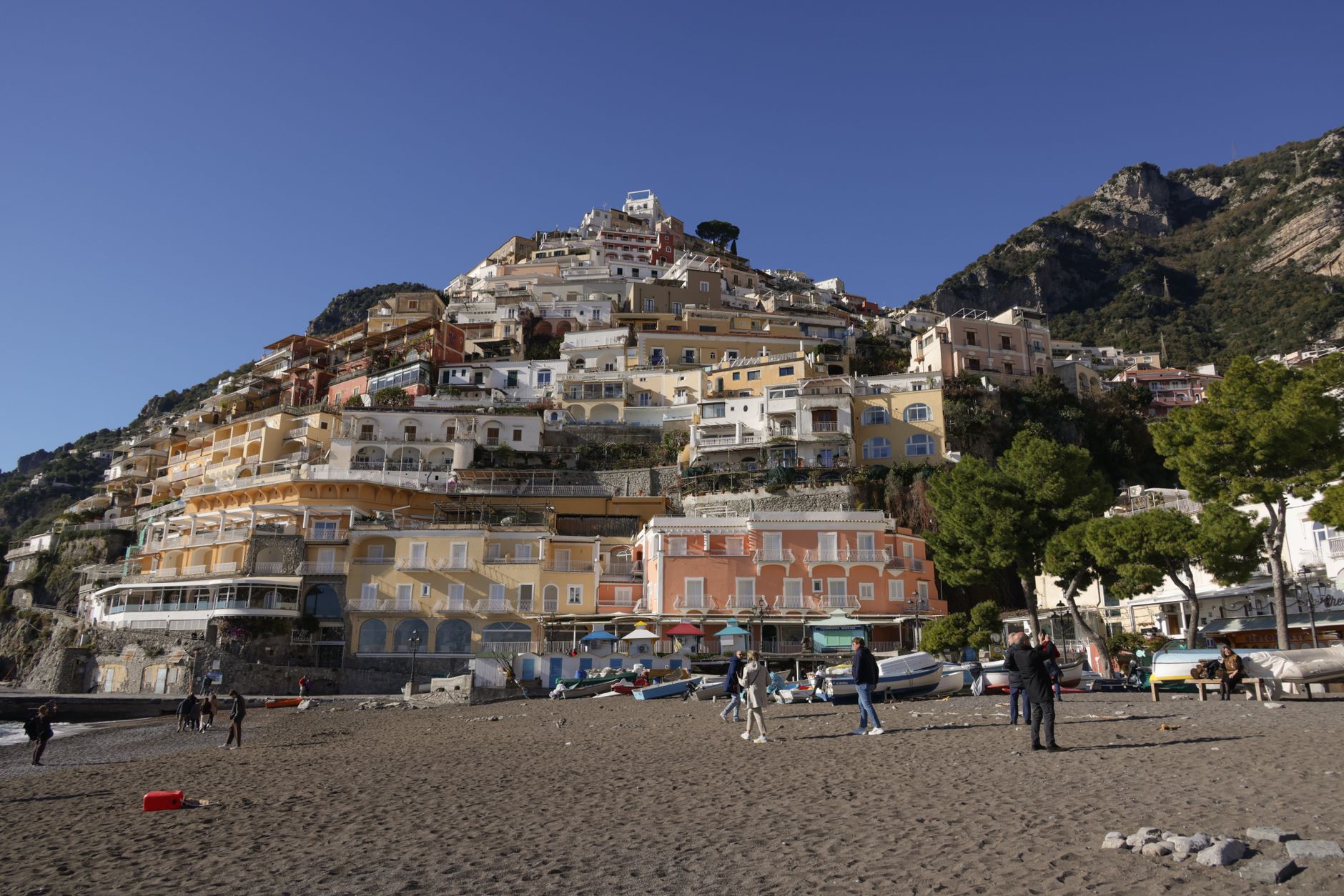
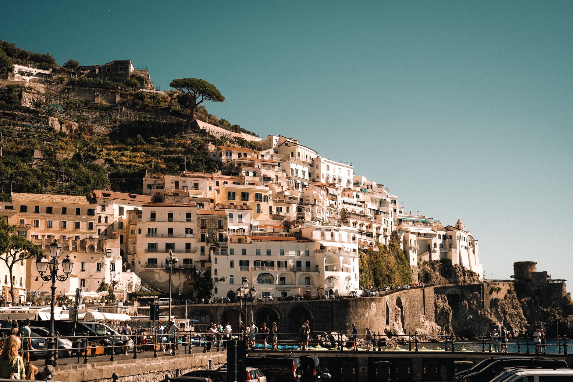
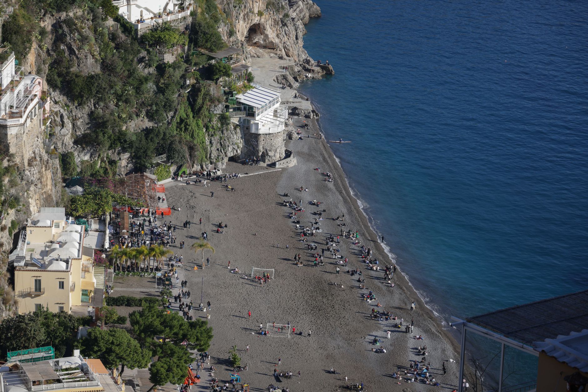
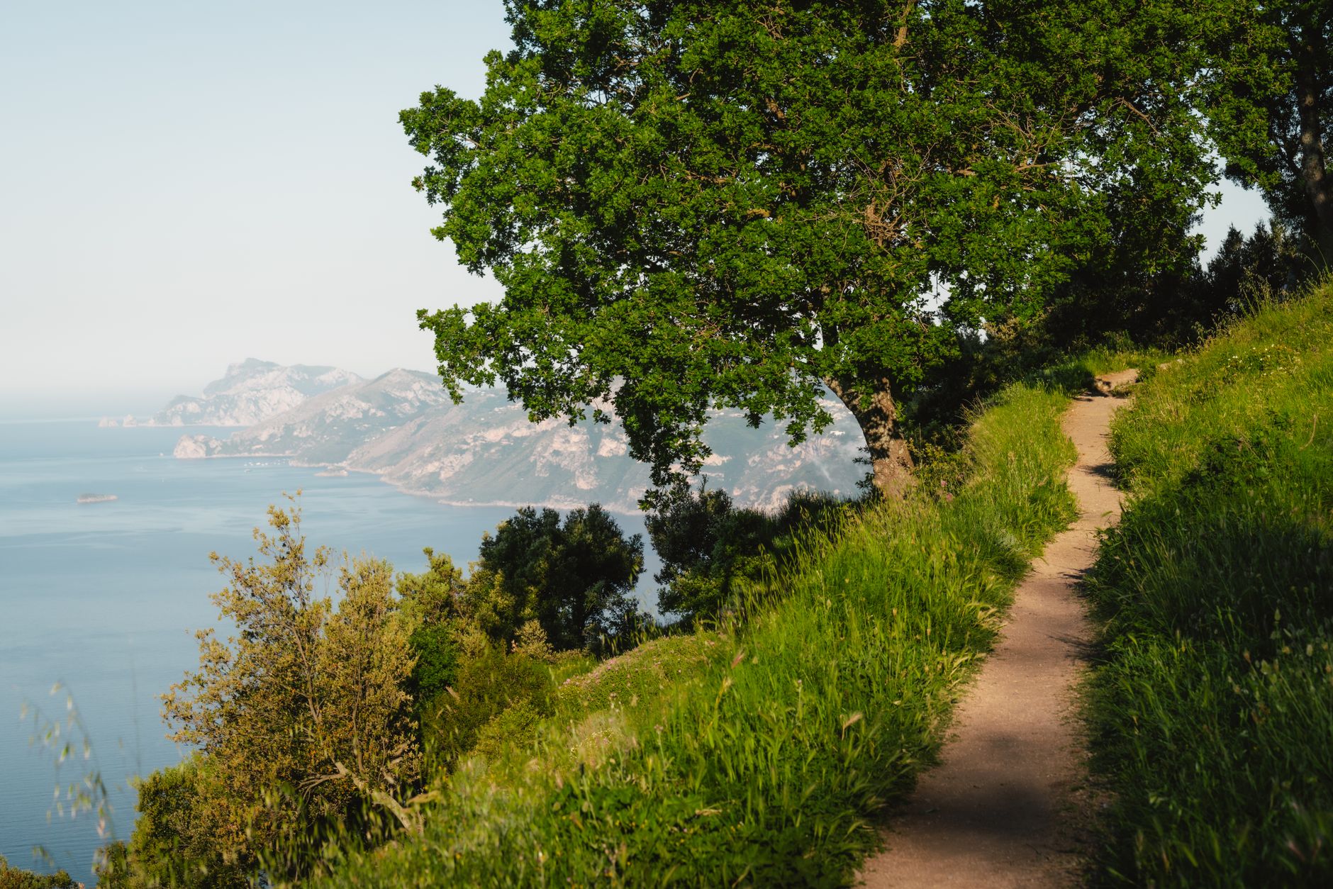
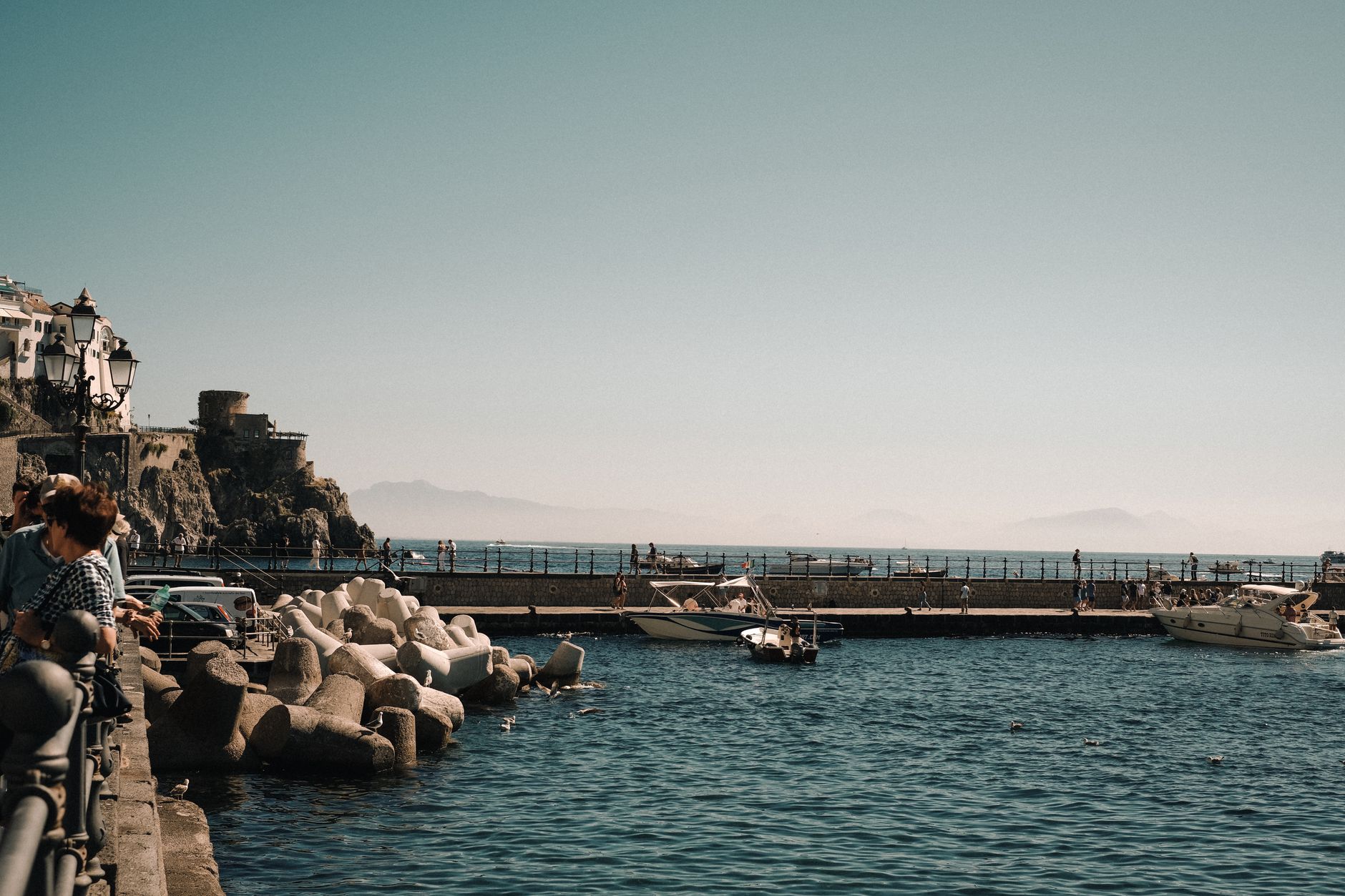
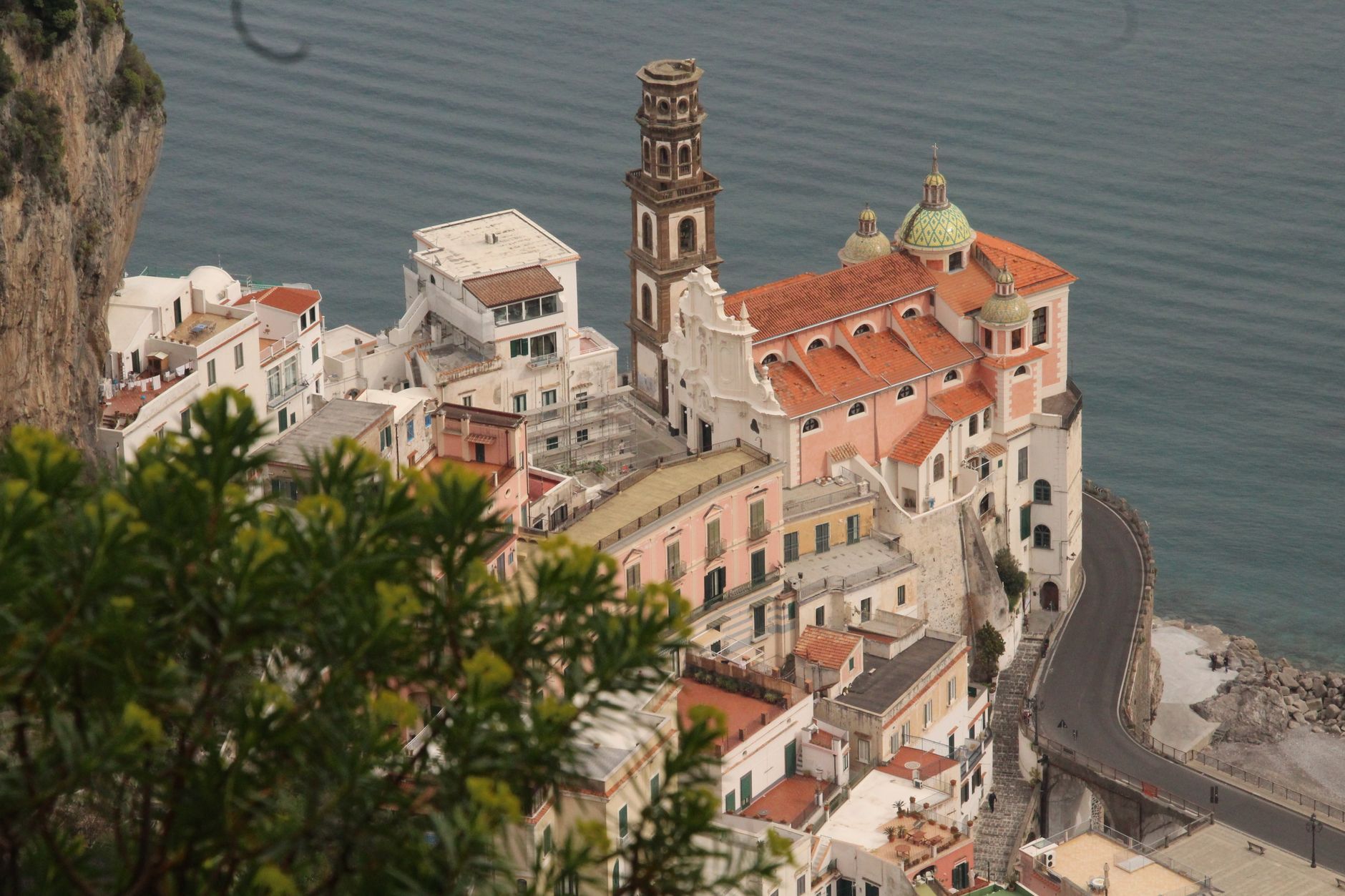
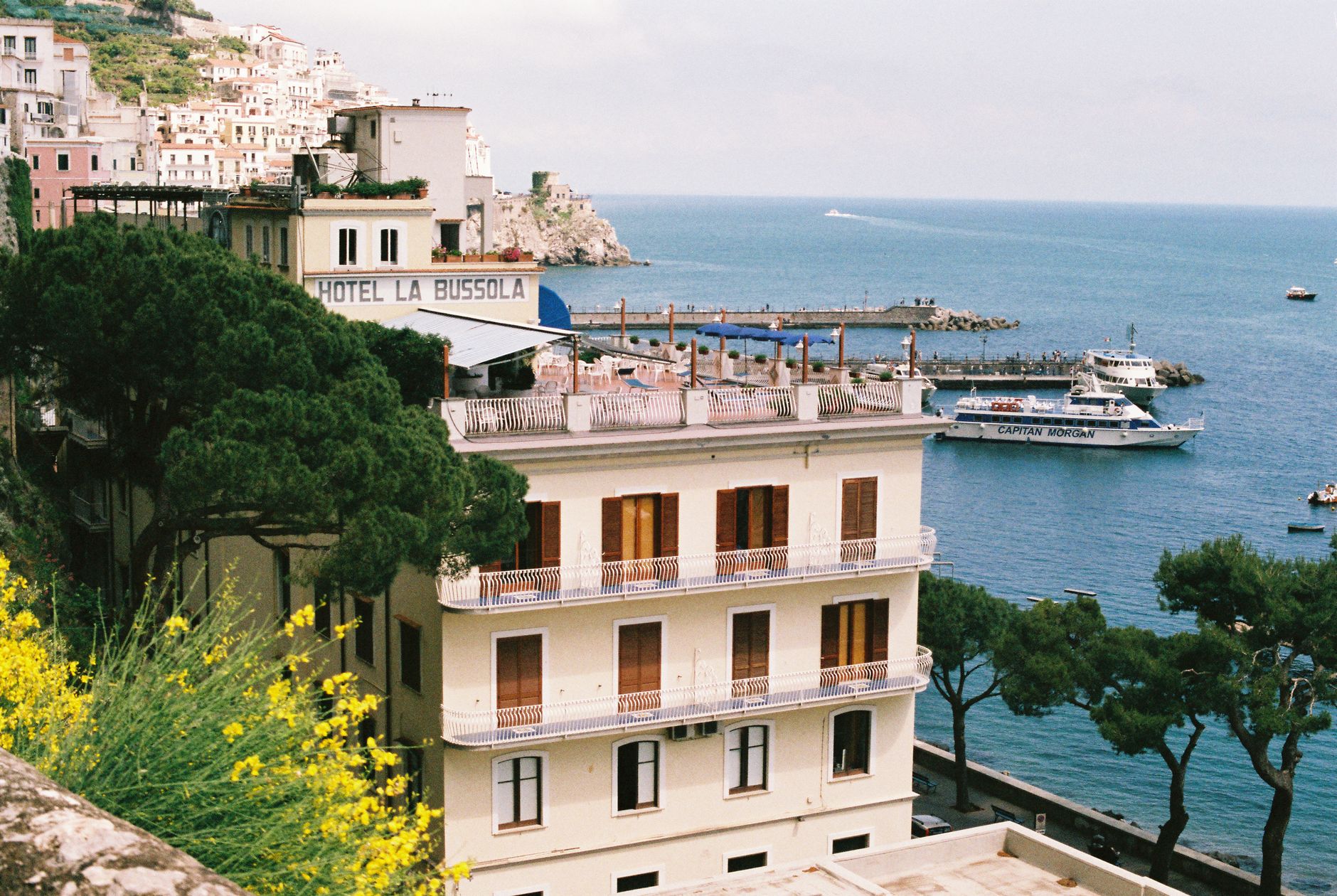
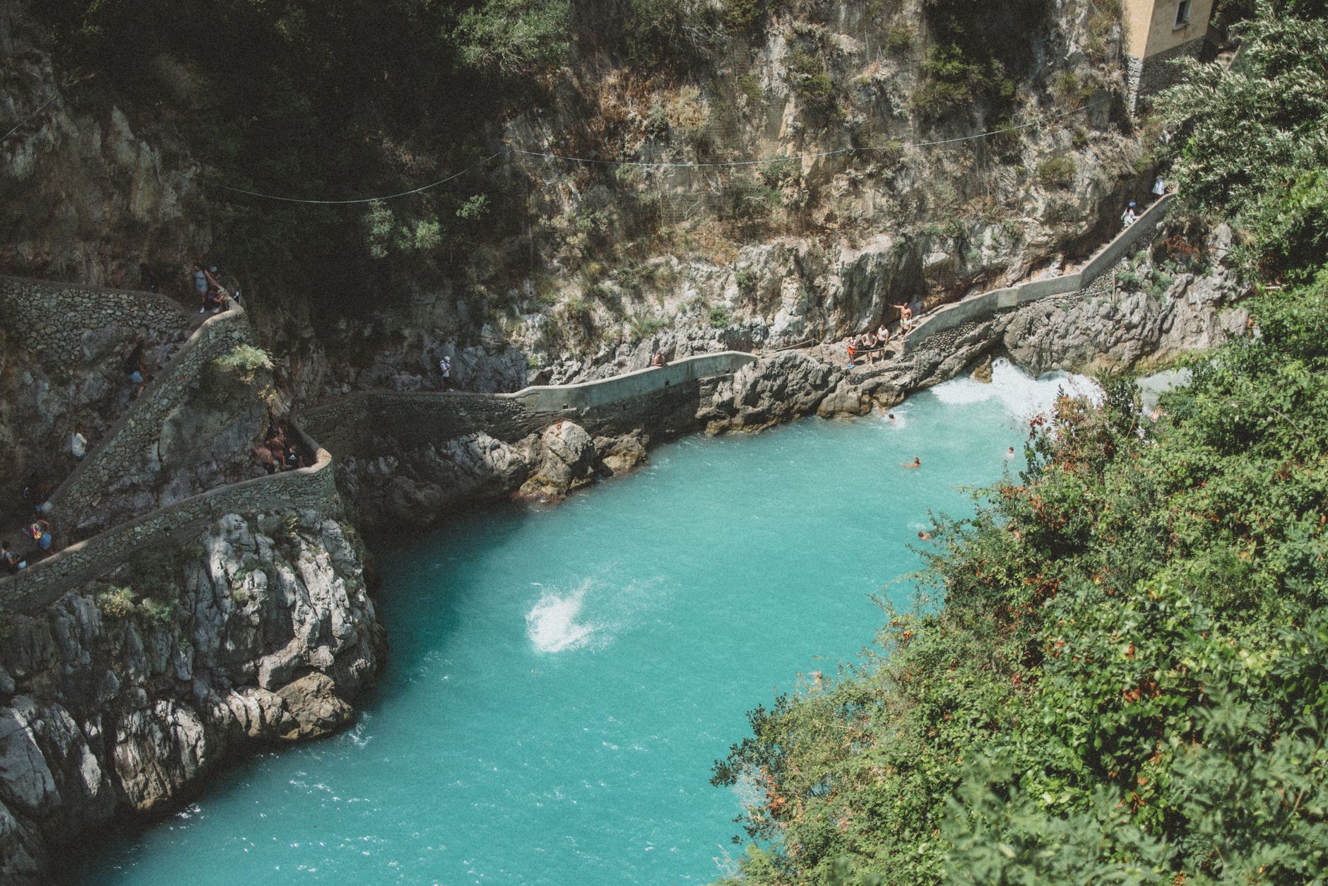
The Amalfi Coast is essentially a vertical landscape — terraced lemon groves and whitewashed villages stacked against limestone cliffs that drop straight into the Tyrrhenian Sea. The SS163 road, carved into the rock face in the 1850s, is the thread connecting it all: a narrow, hairpin-laced corniche where buses inch past each other with centimetres to spare and the sea appears without warning around every bend.
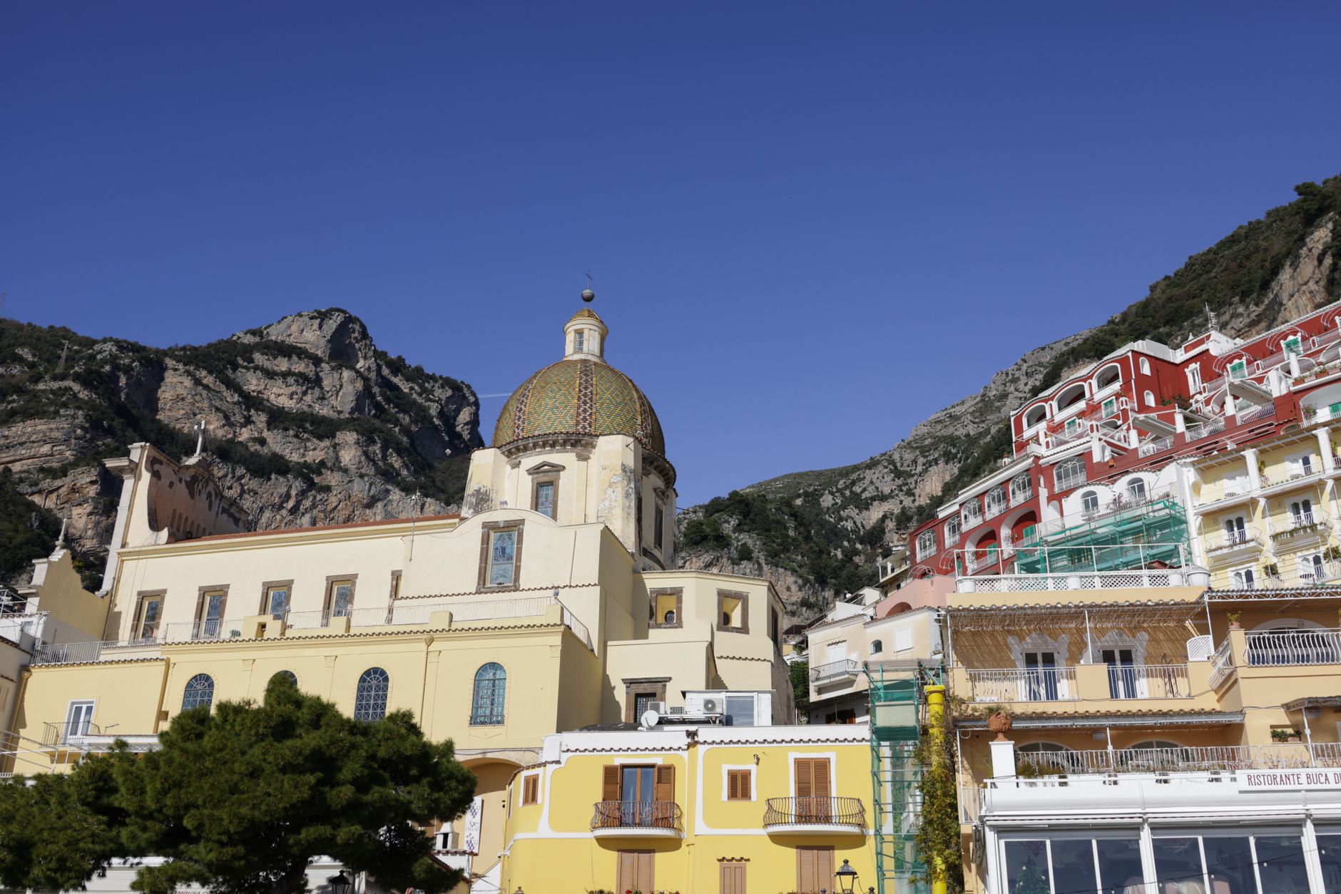
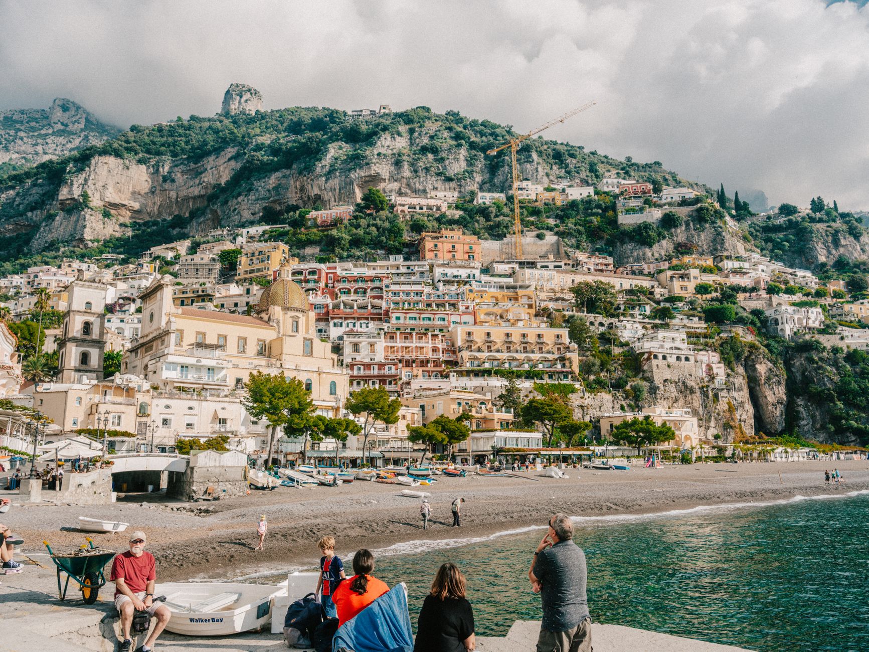
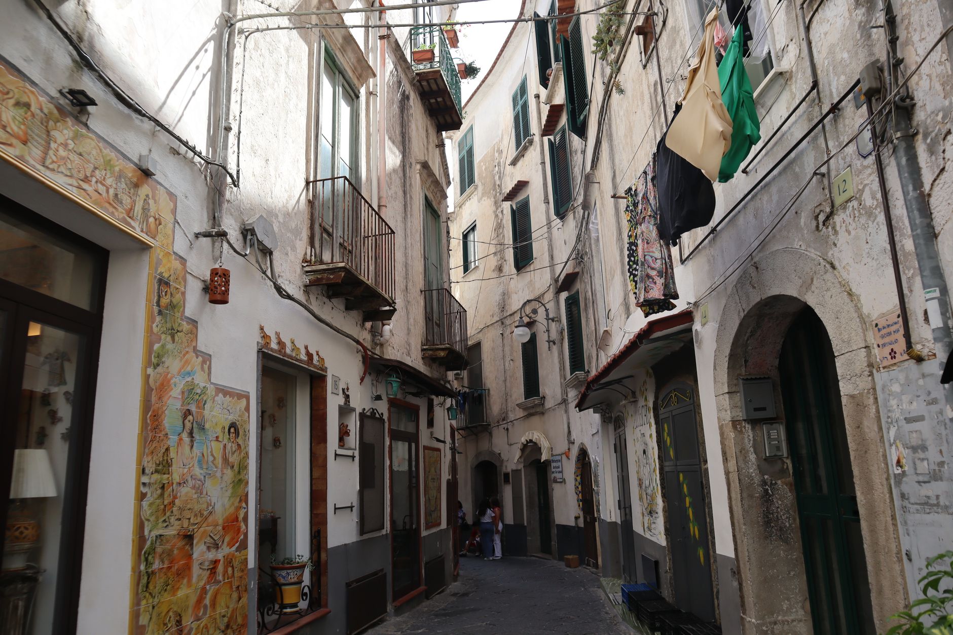
Three towns anchor most visits. Amalfi itself carries the weight of its medieval republic; Positano is steeper, more photogenic, its lanes dropping to a pebble beach. Ravello sits inland and high above everything, quieter and more architectural, looking down on the other two.
Popular cities in Amalfi Coast (Campania)
💛 What travellers fall for
People who come back tend to time the ferries rather than fight the road. The Travelmar boats (April through October) cut between towns in minutes and give you the cliff-face view that no road can. Ravello on a weekday morning, before the day-trippers arrive from Amalfi, is a different place entirely.
Experiences you don't want to miss


How Amalfi Coast (Campania) came to be
Amalfi was founded as a trading settlement in 339 AD and grew, improbably, into one of the four great Maritime Republics of medieval Italy. By the 10th and 11th centuries its population reached an estimated 50,000–70,000 — a serious commercial power whose merchants traded as far as Constantinople and the Levant. The republic was governed by elected prefects, then judges, then Doges from 958 onward.
The end came in stages: Norman conquest in 1073, a sacking by Pisa in 1137, and finally a catastrophic tsunami in 1343 that destroyed the port and lower town. Amalfi never recovered its former scale. It drifted into relative obscurity until British aristocrats began wintering here in the Edwardian era, and the coast's modern identity — beautiful, visited, a little overwhelmed — dates from then.
Who and what shaped it
People who shaped it
Landmark buildings
See Amalfi Coast (Campania) in motion
Plan your visit
On the map
When to go
Summers are hot and dry, with August averaging highs around 30°C; the sea is warm and the crowds are at their peak. Spring (April–May) and early autumn (September–October) offer cooler temperatures, clearer light, and the ferries still running — the most comfortable windows for exploring. Winters are mild but quiet, with some ferry services suspended and a number of smaller businesses closed.
Right now
↡ Cities
No places match these filters.
Background & history adapted from Wikipedia (CC BY-SA) · specs from Wikidata (CC0) · weather from Open-Meteo · map data © OpenStreetMap contributors · photos from Wikimedia Commons / Unsplash with per-image credit. No third-party reviews or social posts reproduced.