
Serengeti National Park
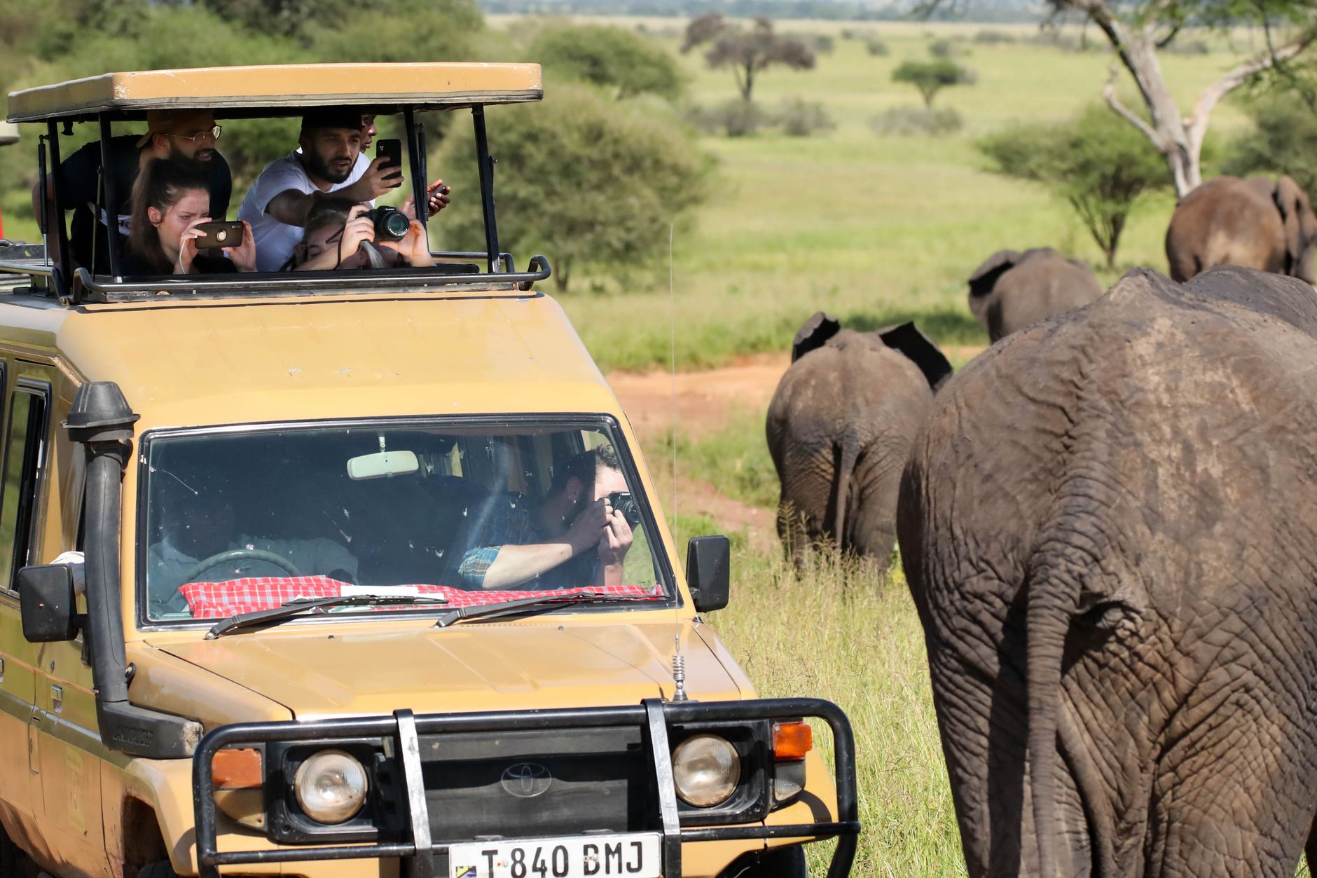
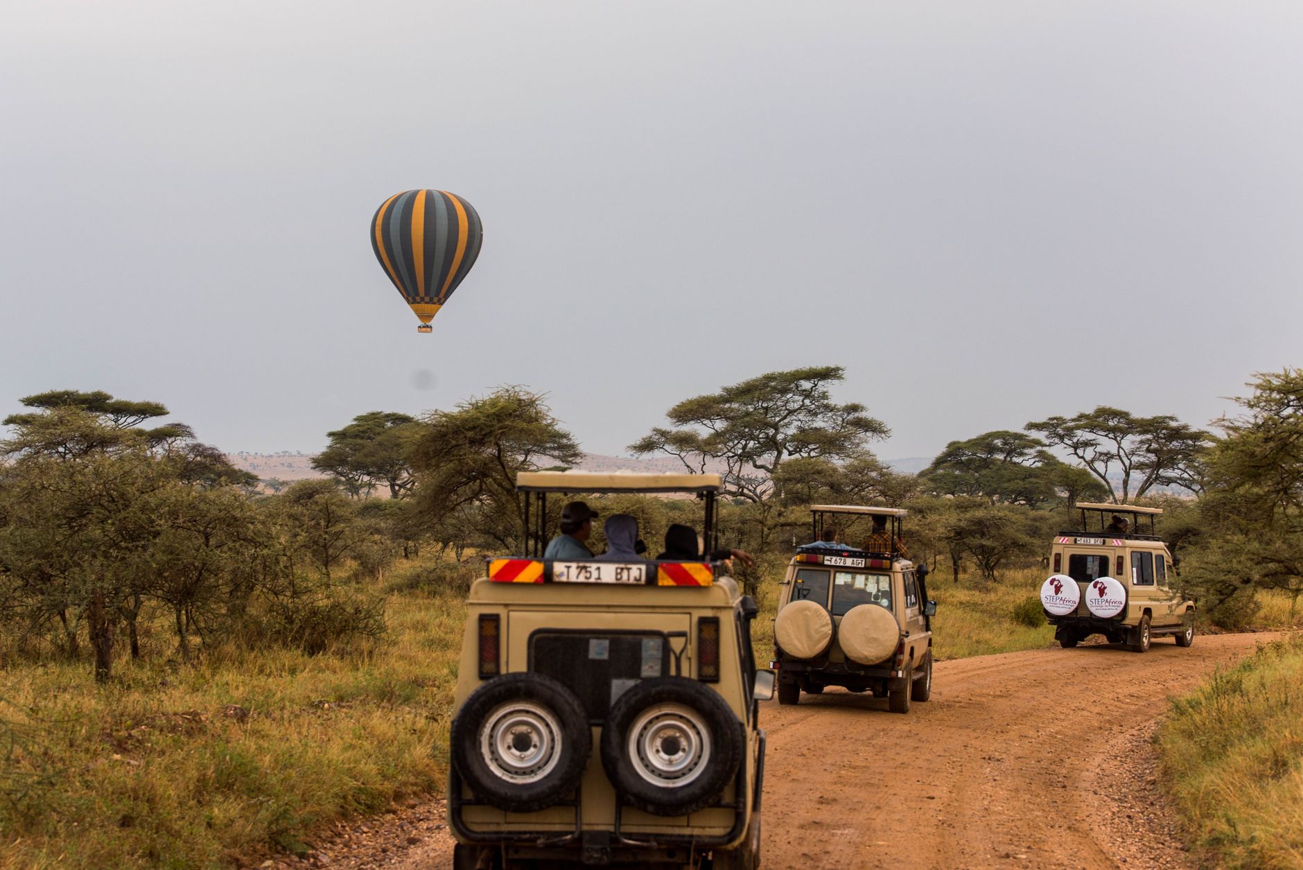
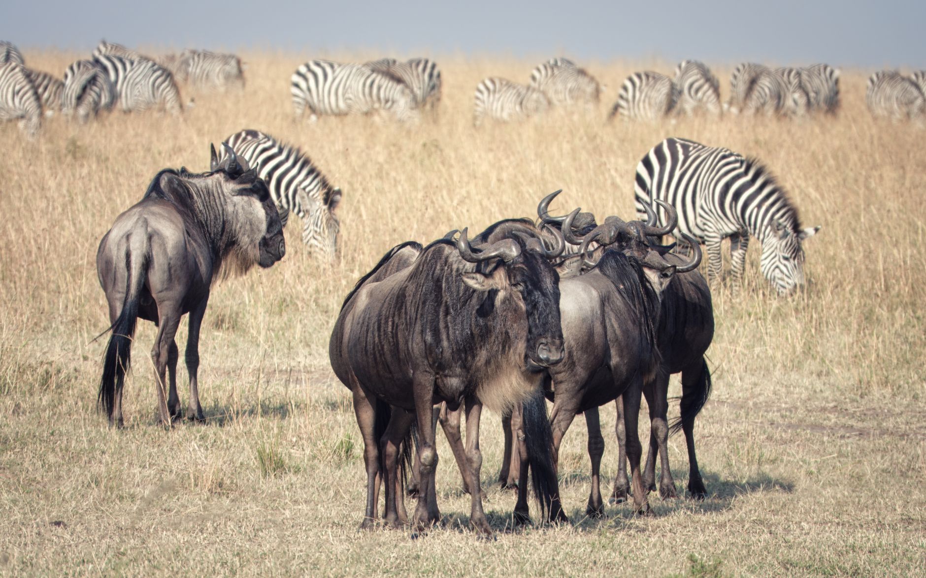
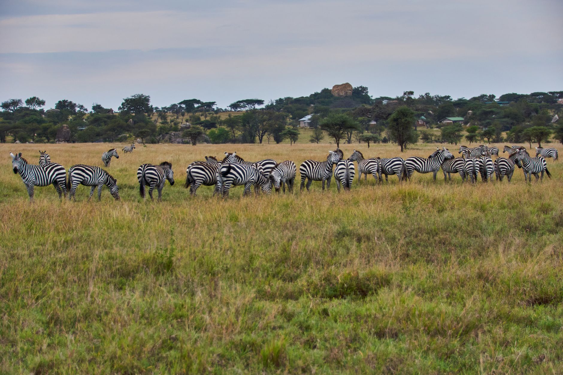
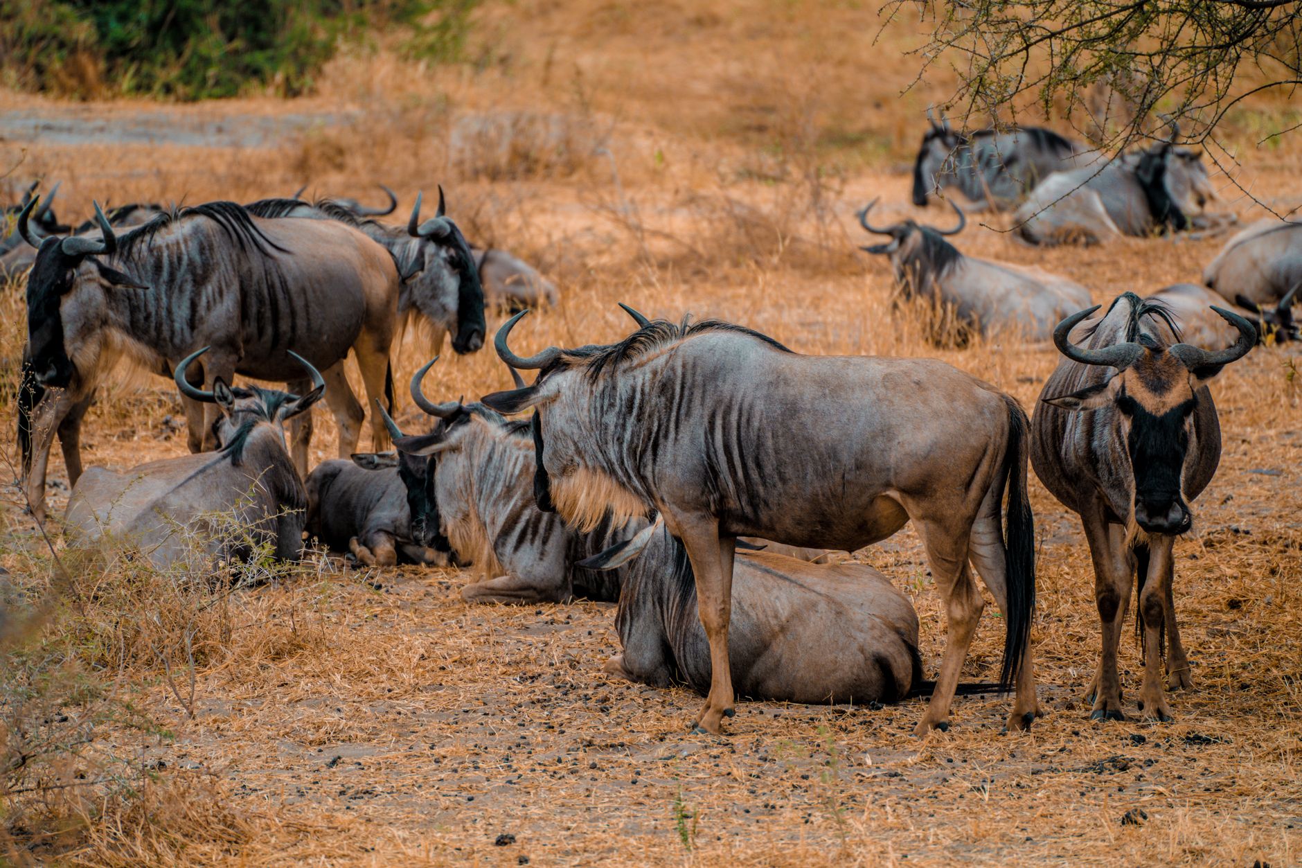
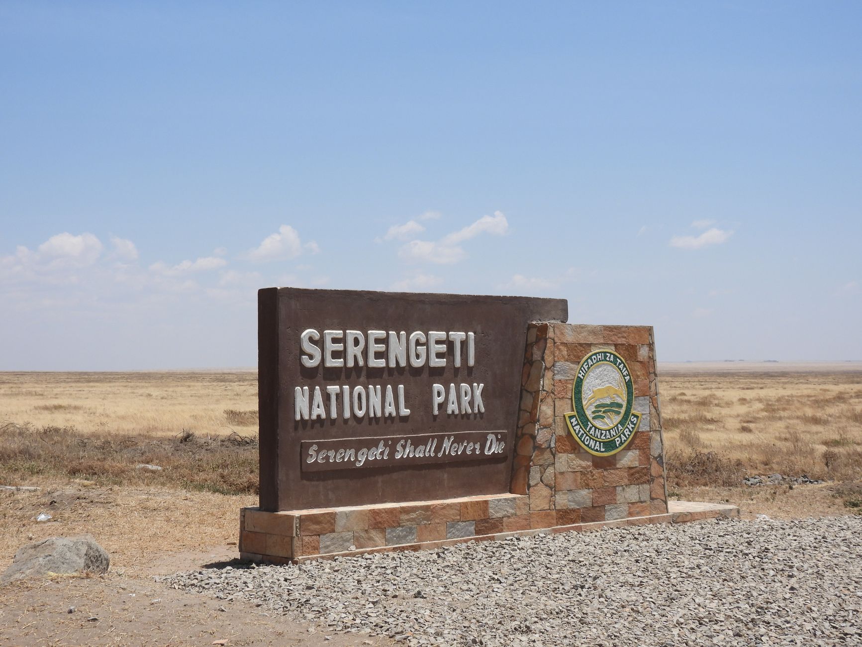
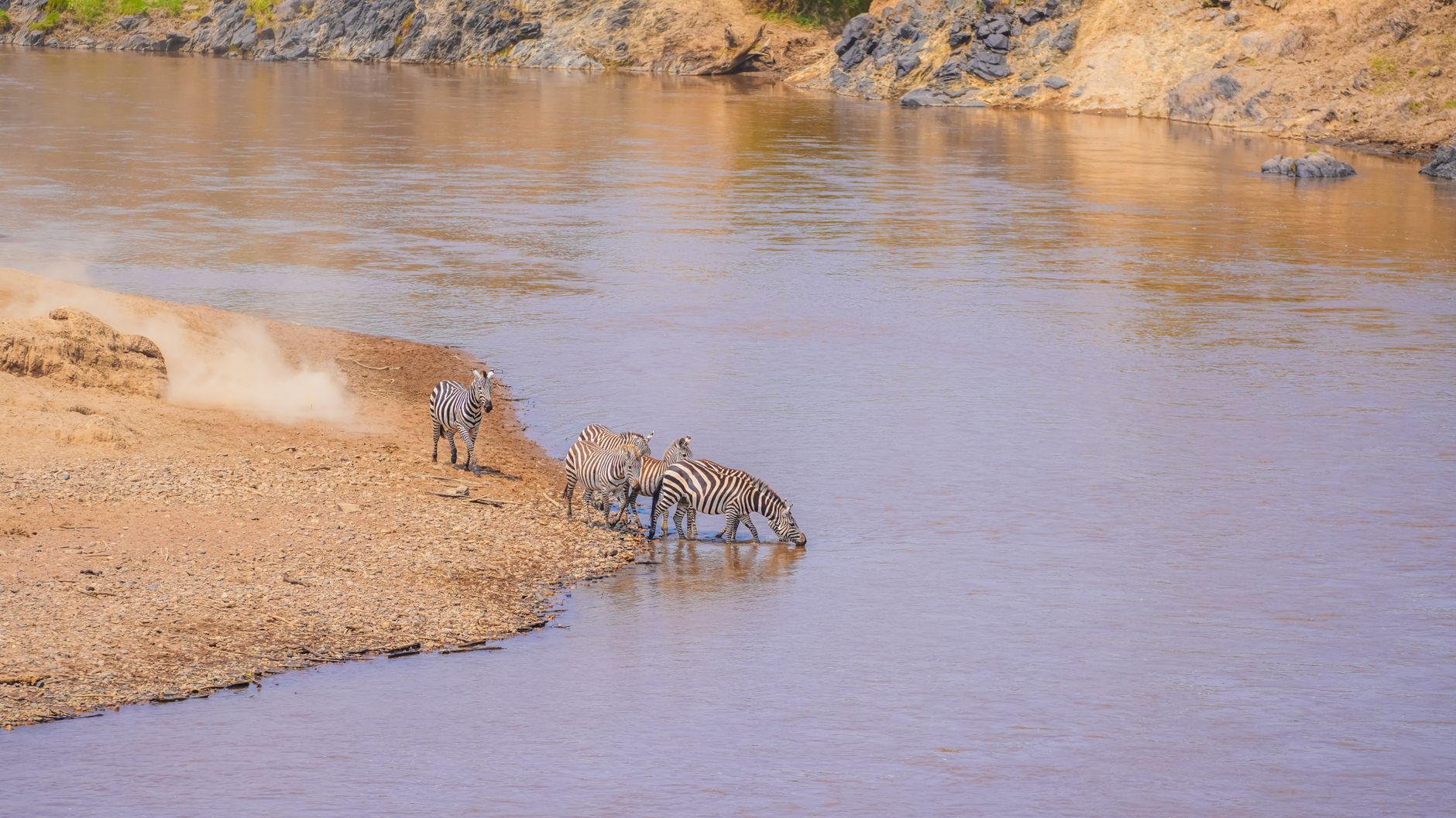
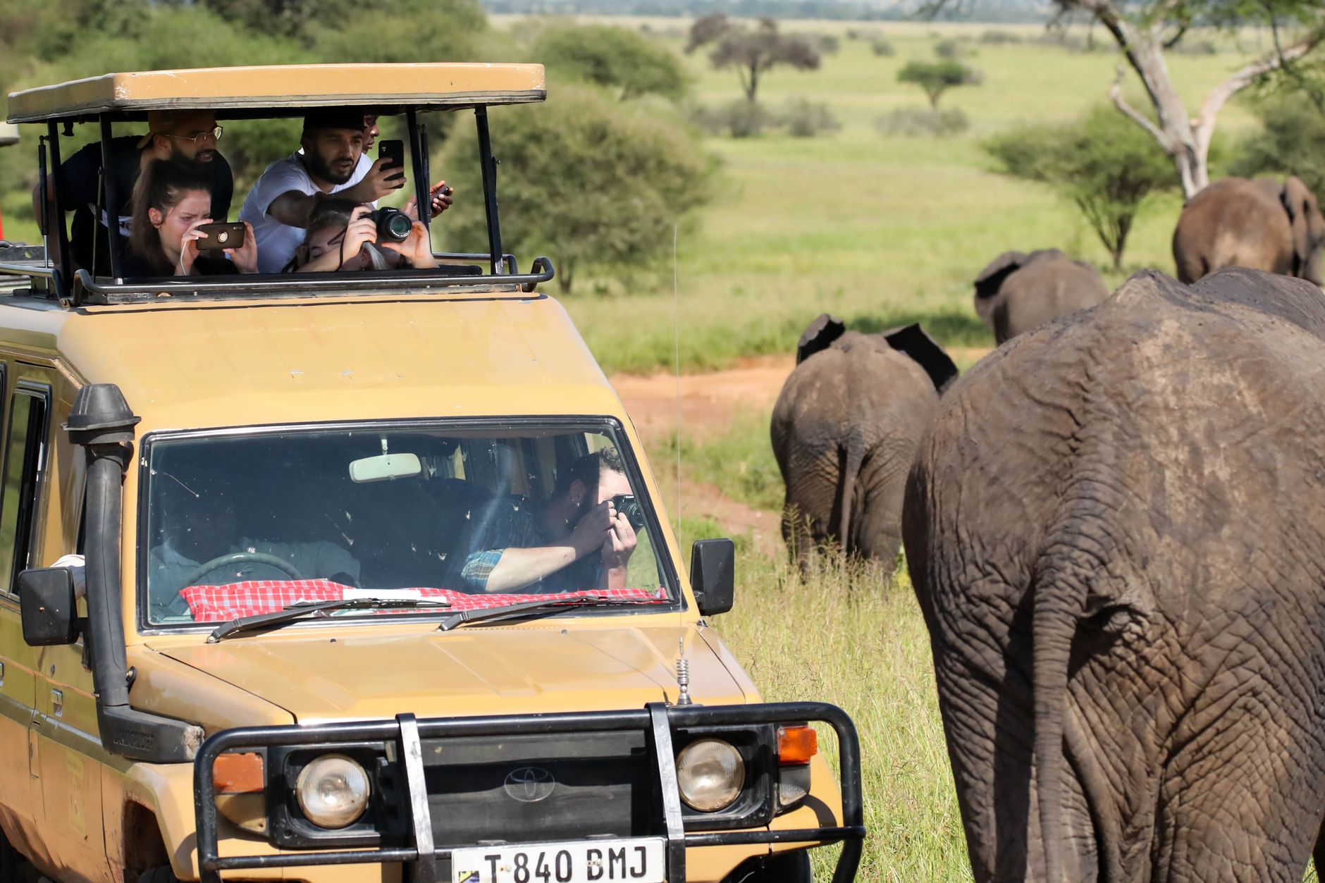
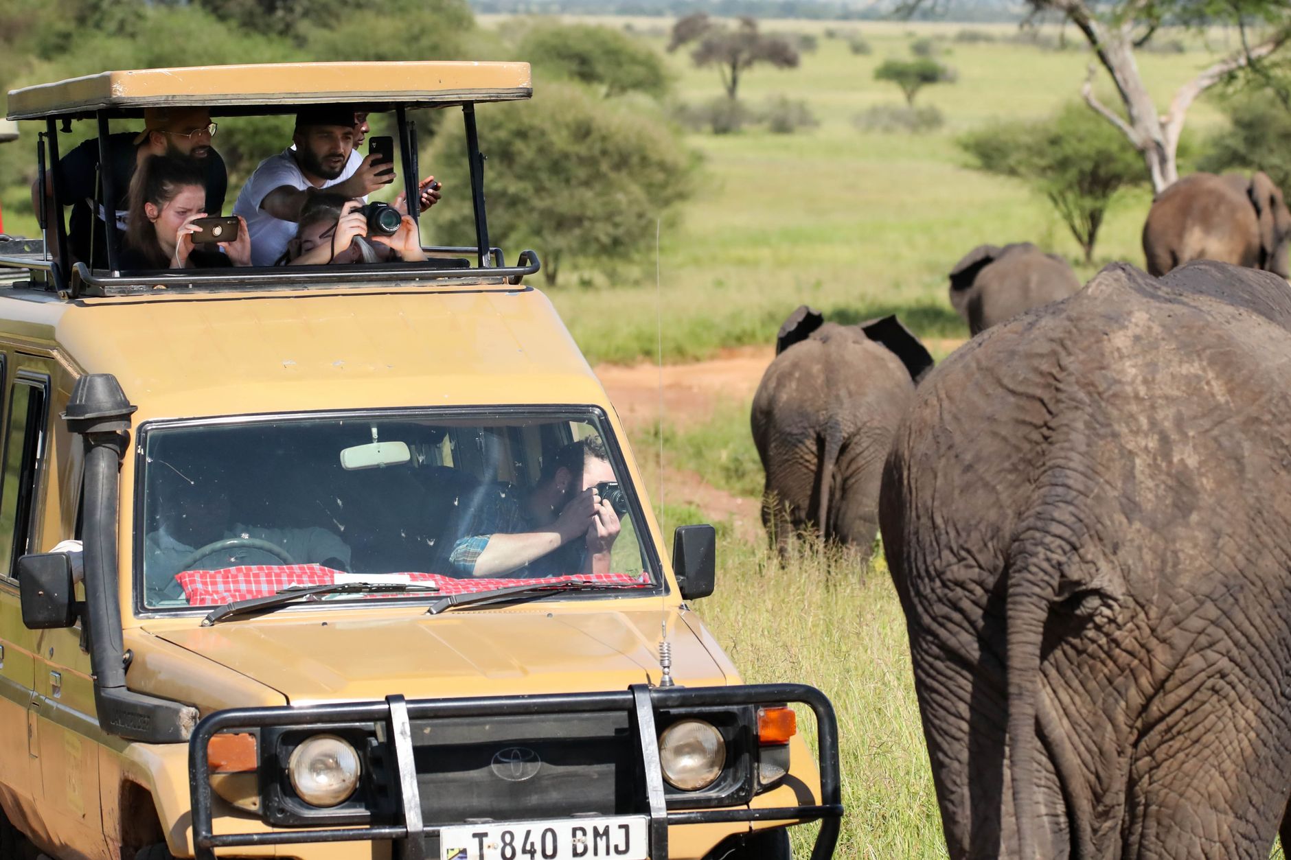
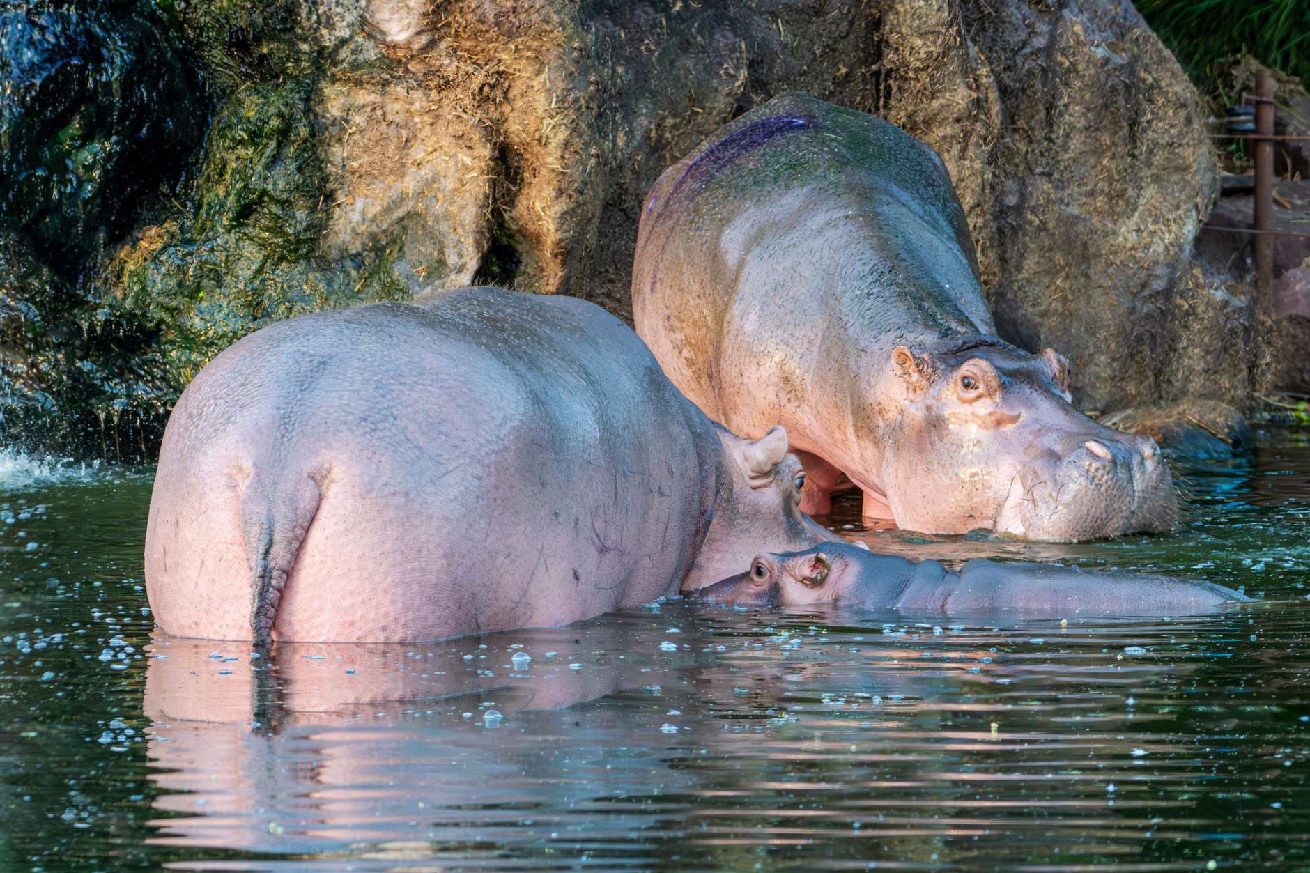
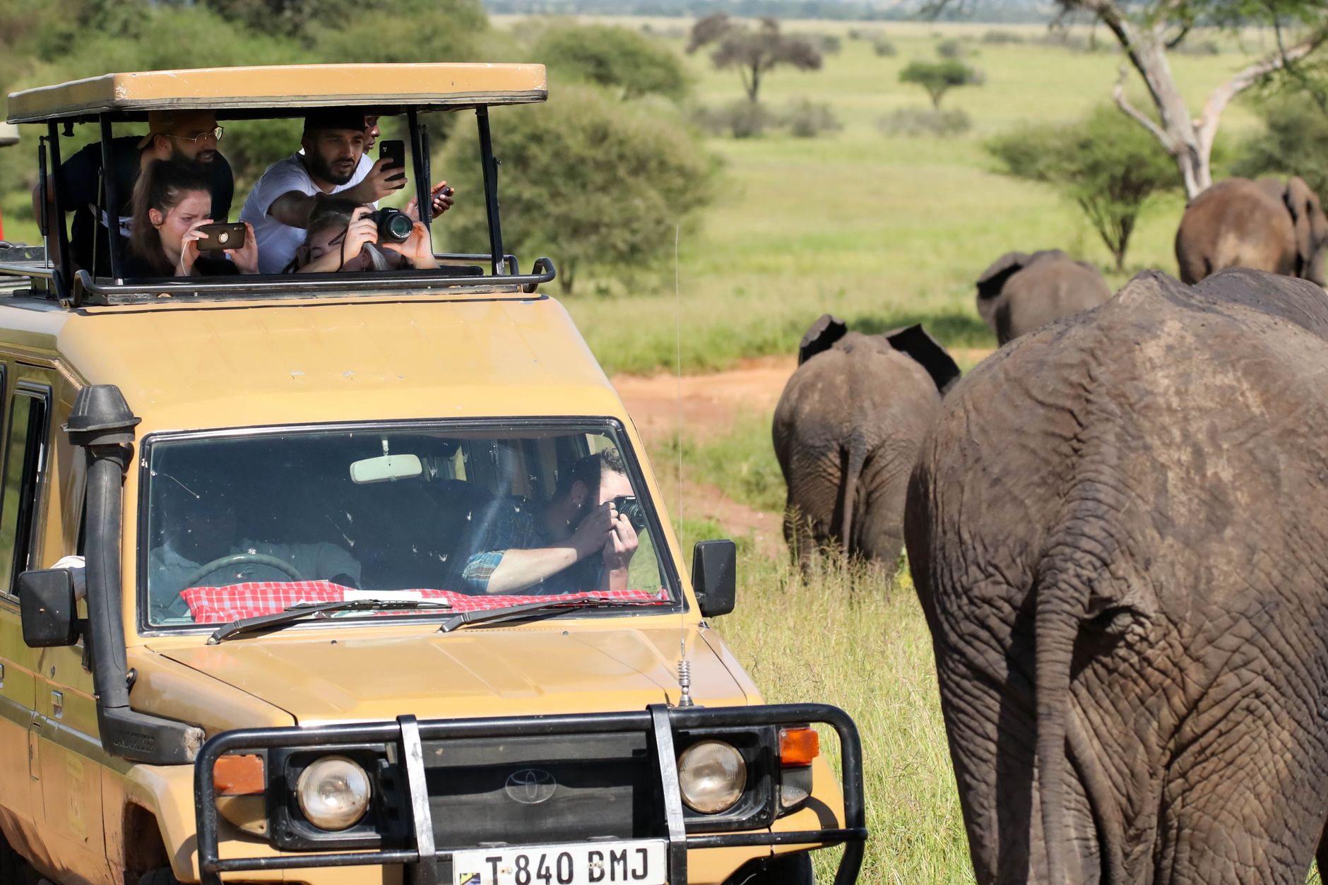
The Serengeti is defined by scale you cannot quite prepare for. The southeastern plains stretch so flat and wide that the horizon curves, and on a clear morning the grass goes silver before it goes gold. What draws most people is the Great Migration — roughly 1.5 million wildebeest moving in a rough annual circuit — but the park's 14,763 square kilometres hold year-round drama: lion prides at Lobo Valley, some 200 hippos packed into the Retina Hippo Pool where the Seronera and Orangi rivers meet, and leopards draped in fever trees along the Seronera Valley.
The park divides into distinct zones, each with its own rhythm. The western corridor narrows toward the Grumeti River. The northern Loliondo border edges into wilder, less-visited terrain. Naabi Hill marks the eastern entrance and gives you your first wide view of the plains. Moving between zones takes time — plan for it.
Popular cities in Serengeti National Park
How Serengeti National Park came to be
The land that is now Serengeti first came under formal protection in 1921, when the British colonial administration designated a small 800-acre game reserve near Seronera, primarily in response to lion poaching. In 1930, Major Richard Hingston proposed the reserve be elevated to national park status. That designation came in 1940, though the boundaries took another decade to settle.
A significant redrawing came in 1959, when 8,300 square kilometres were split off to form the Ngorongoro Conservation Area — a compromise that acknowledged the Maasai's long presence on these plains. The Serengeti Research Institute opened at Seronera in 1966, and the park was added to the UNESCO World Heritage list in 1981. Bernhard Grzimek and his son Michael brought international attention to the ecosystem through their book and film, both titled Serengeti Shall Not Die.
Who and what shaped it
People who shaped it
Landmark buildings
See Serengeti National Park in motion
Plan your visit
On the map
When to go
The dry season from May through August is cooler and the most reliable for game viewing, with wildlife concentrated around permanent water sources; mornings can drop to around 13°C, so bring a layer. The long rains run March through May, and while the southern plains turn lush and calving season draws predators, some roads become difficult — the short rains in November and December are lighter and rarely disruptive.
Right now
↡ Shopping areas
Background & history adapted from Wikipedia (CC BY-SA) · specs from Wikidata (CC0) · weather from Open-Meteo · map data © OpenStreetMap contributors · photos from Wikimedia Commons / Unsplash with per-image credit. No third-party reviews or social posts reproduced.