
Grumeti River
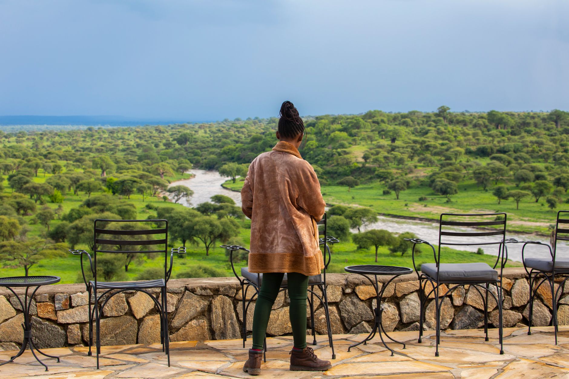
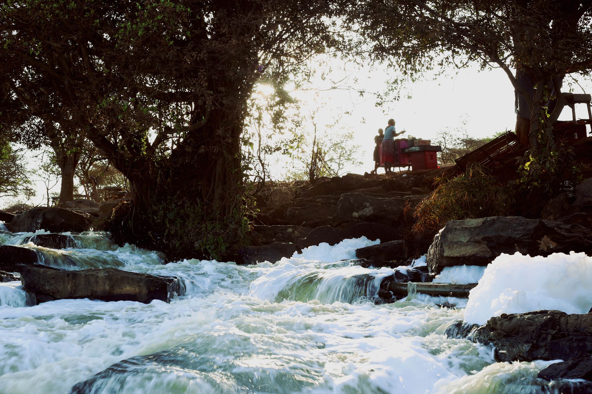
The Grumeti River moves quietly for most of the year — a slow, tea-dark ribbon threading through gallery forest, deep pools holding still beneath the weight of Nile crocodiles that can stretch past five metres. Then, somewhere between May and June, the wildebeest arrive. The crossings here happen within a window of a week or two, the timing impossible to pin down, and that uncertainty is the whole point.
What sets the Grumeti apart from the Mara, further north, is the ratio: roughly half the vehicles, the same drama. The steep muddy banks and colobus monkeys in the sycamore figs are yours at something closer to your own pace.
💛 What travellers fall for
People who come back tend to say the same thing: position yourself early and stay put. The guides who know this river read the herd's movement from the opposite bank — watch where they're drinking, not where they're crossing. Faru Faru on the north bank puts you closest to the action without the drive back to camp.
How Grumeti River came to be
The reserve framing the river's western corridor was established by the Tanzanian government in 1994, specifically to protect the migration route as wildebeest funnel through this stretch of the Serengeti on their annual circuit. The designation acknowledged what the landscape had always been: a bottleneck, a gauntlet, a place where the ecosystem's logic becomes visible in the starkest possible terms.
The river itself has no founding story — it predates any human accounting, draining westward into Lake Victoria across roughly 50 kilometres of corridor that remains one of the least-visited sections of the park.
Who and what shaped it
Landmark buildings
See Grumeti River in motion
Plan your visit
On the map
When to go
June through October is dry, with July averaging just 4mm of rain and daytime temperatures around 29°C — cool enough at night to need a layer. If you come at the tail end of the long rains in May, expect heavy, sudden downpours that can cancel activities with no notice.
Right now
Background & history adapted from Wikipedia (CC BY-SA) · specs from Wikidata (CC0) · weather from Open-Meteo · map data © OpenStreetMap contributors · photos from Wikimedia Commons / Unsplash with per-image credit. No third-party reviews or social posts reproduced.