
Bologonja Springs
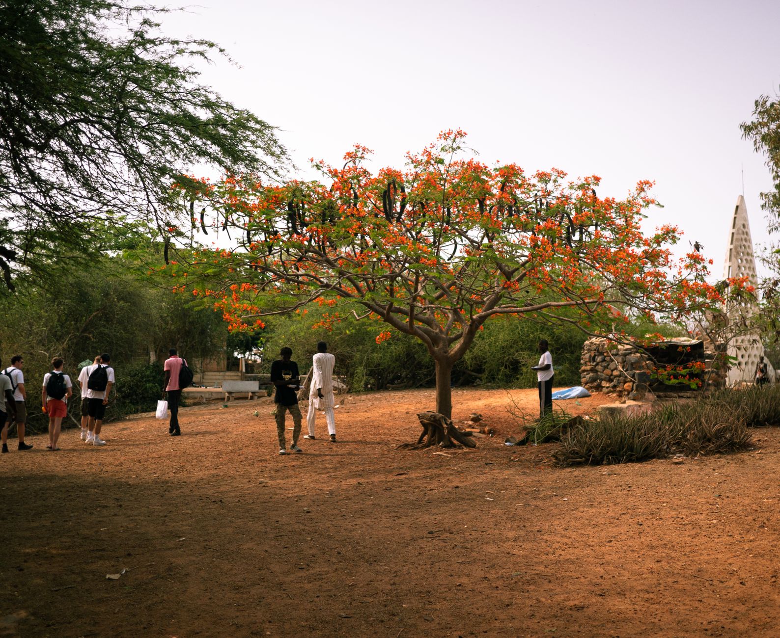
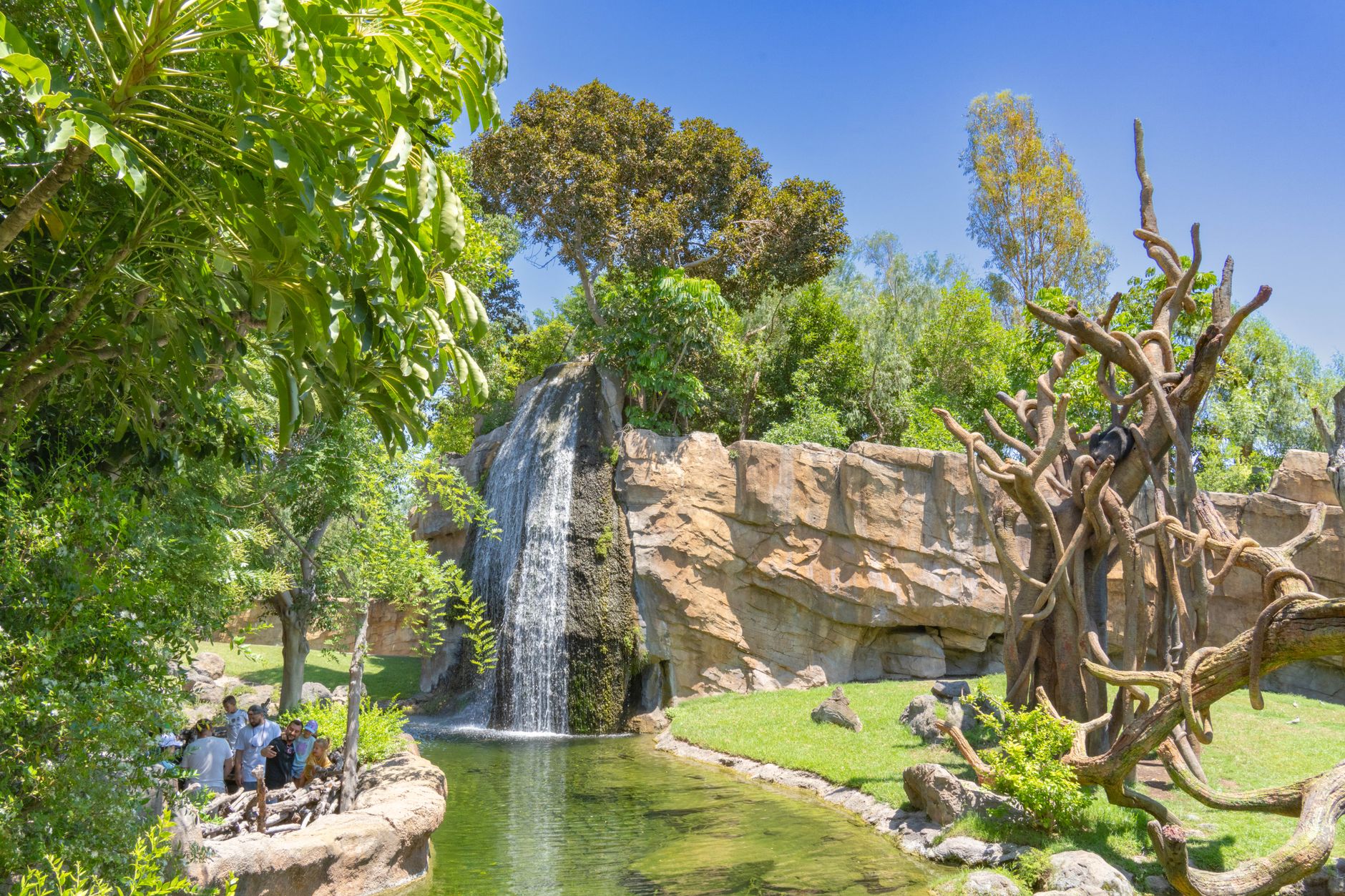
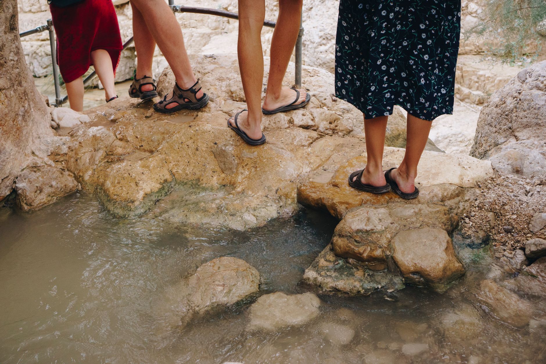

The Bologonja River begins quietly, seeping out of the Kuka Hills before it finds its pace south toward the Mara. At the springs, the water draws everything in — steenbok picking their way through the grass, kingfishers working the shallows, baboons slouching under the trees while vervets argue overhead. This is one of the few places in the Serengeti where you might see a mountain reedbuck, and the Larelemangi salt lick two miles downstream — a bare, wet acre of earth on a seepage flat — pulls in animals that have been using the same ground since long before there were roads here.
The park gate at Bologonja marks the northern edge of Tanzania's Serengeti, and beyond it the landscape stays quiet in a way that the southern plains rarely do. Fewer vehicles, longer silences, the sense that the migration arriving here has not yet been catalogued.
💛 What travellers fall for
People who come back tend to time it for the dry season, when the water runs clear and the grass drops low enough to actually see what's moving. The drive up Route B144 from Lobo is slow — plan for that. And the salt lick at Larelemangi rewards patience: go in the early morning and stay put.
How Bologonja Springs came to be
In 1913, the American writer and explorer Stewart White traveled through the Northern Serengeti and documented Bologonja Springs and the Larelemangi salt lick — noting the lick's roughly 1.5 acres of bare, wet earth as a permanent fixture of the river valley. His account is among the earliest written records of this corner of the ecosystem.
For decades after, the area sat close to a porous border: before 1977, vehicles could move freely between the Serengeti and Kenya's Masai Mara to the north. When that border closed, Bologonja became a quieter terminus — the end of the Tanzanian road — and the northern Serengeti settled into the relative solitude it still holds today.
Who and what shaped it
People who shaped it
Landmark buildings
See Bologonja Springs in motion
Plan your visit
On the map
When to go
June through October is dry and sunny, with roads passable and wildlife concentrated near permanent water. From December through June the rains come and the herds drift south, leaving the springs area quieter and some tracks difficult to navigate.
Right now
Background & history adapted from Wikipedia (CC BY-SA) · specs from Wikidata (CC0) · weather from Open-Meteo · map data © OpenStreetMap contributors · photos from Wikimedia Commons / Unsplash with per-image credit. No third-party reviews or social posts reproduced.