
Retima Hippo Pool
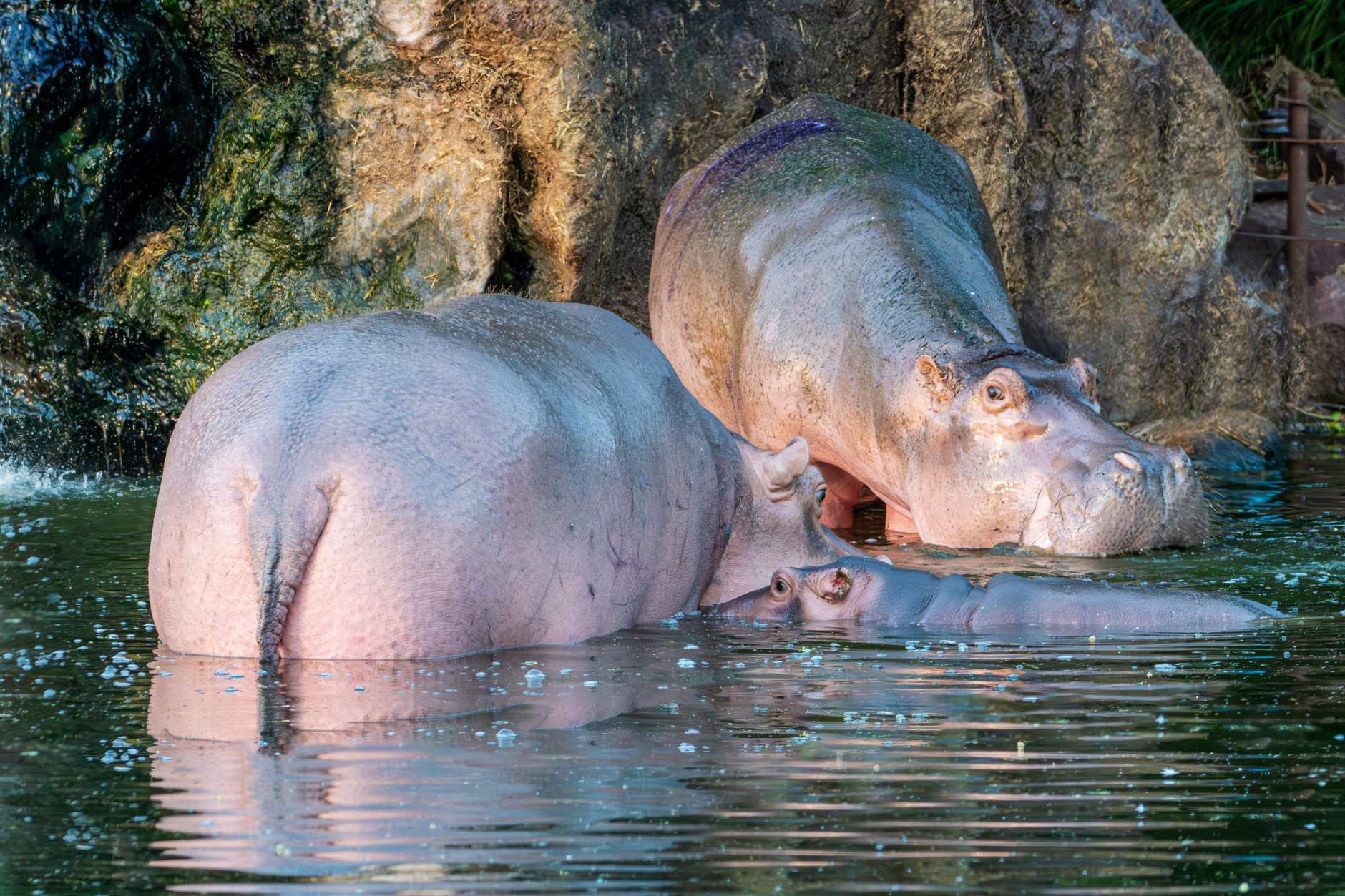
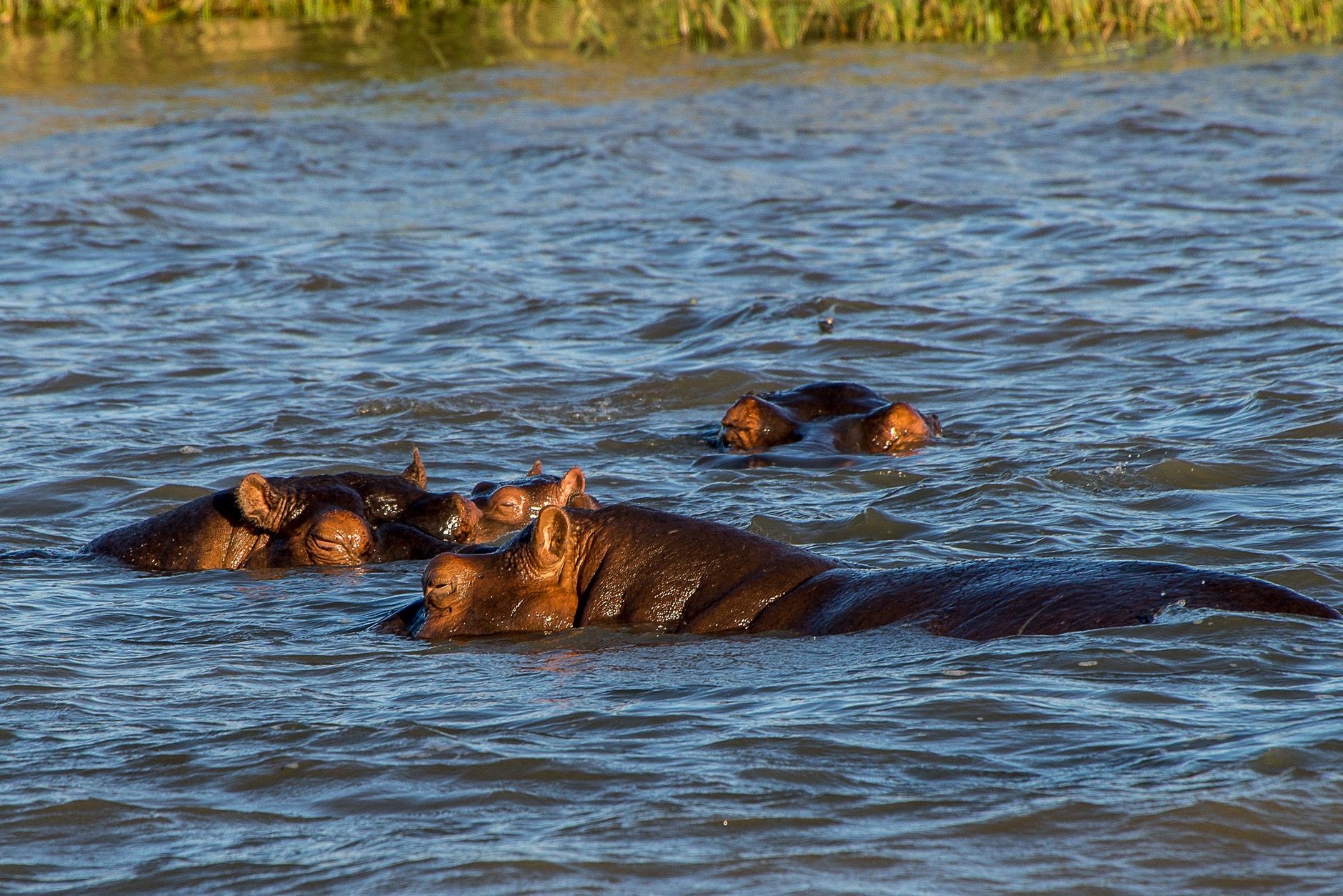
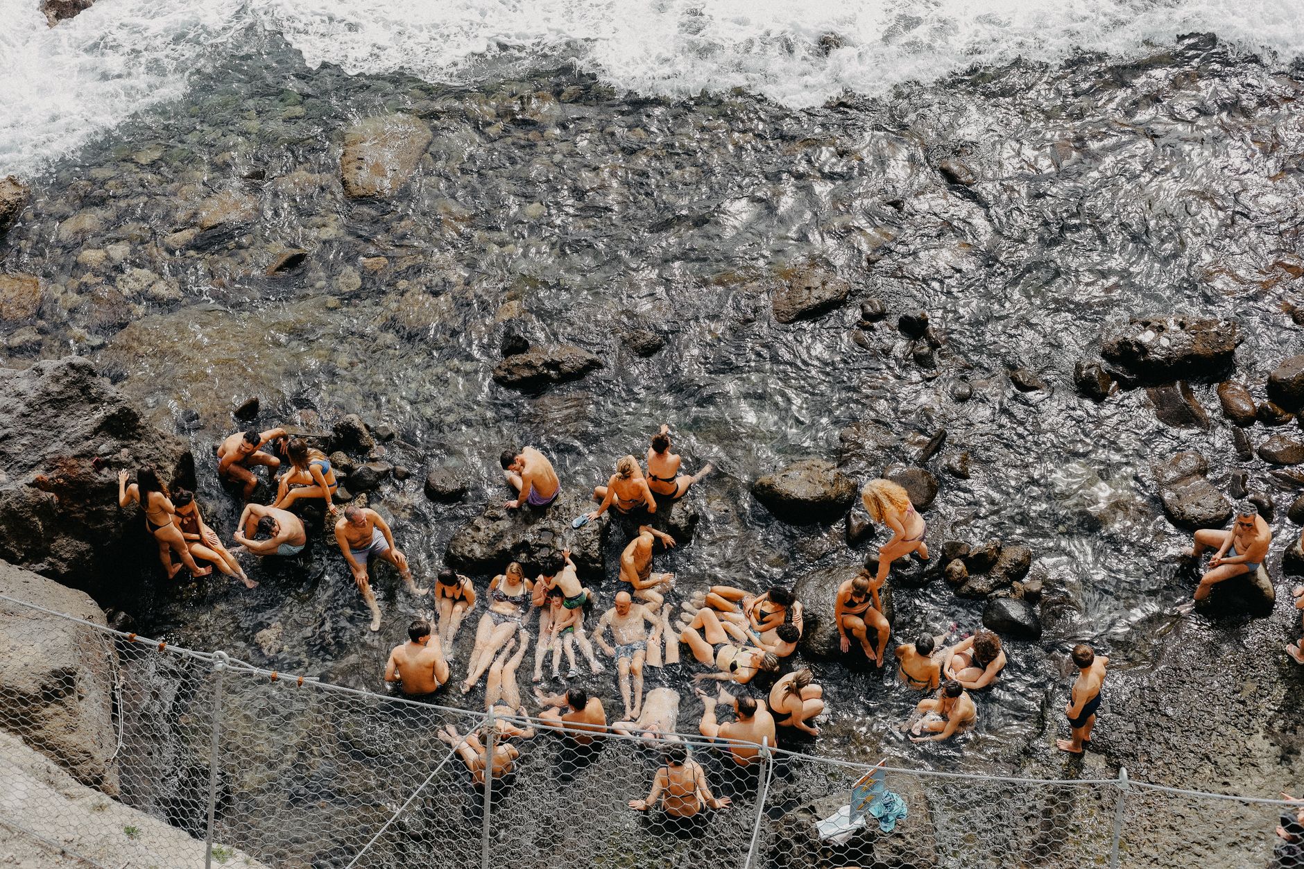
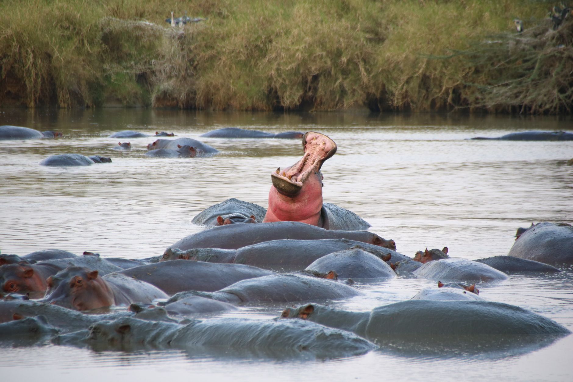
Where the Seronera and Orangi rivers meet, a pool holds roughly 200 hippos at any given time — a number that only becomes real when you're standing ten feet above them on the riverbank, watching the water heave and grunt. The smell arrives before the sight does. It's not subtle.
Retima is one of the few places in the Serengeti where you can step out of your vehicle and stand at the edge of something genuinely wild. Crocodiles hold still in the shallows. Egrets and kingfishers work the margins. A short walk west of the viewing terrace, the savanna gives way to riverine forest — a sudden, green quiet.
💛 What travellers fall for
People who return to Retima tend to mention the same thing: come early, before other vehicles arrive, and give yourself time to just listen. The grunting carries. Bring binoculars for the birds — the lilac-breasted roller alone is worth the stop — and don't rush the walk toward the Seronera River side.
Plan your visit
On the map
When to go
Temperatures here stay fairly steady year-round — highs around 27°C, early mornings in the dry months dropping to around 14°C. The dry season from July to November offers the clearest roads and the most exposed hippos; the wet months from March to May bring heavy rain and muddier access tracks.
Right now
Background & history adapted from Wikipedia (CC BY-SA) · specs from Wikidata (CC0) · weather from Open-Meteo · map data © OpenStreetMap contributors · photos from Wikimedia Commons / Unsplash with per-image credit. No third-party reviews or social posts reproduced.