
Navarre
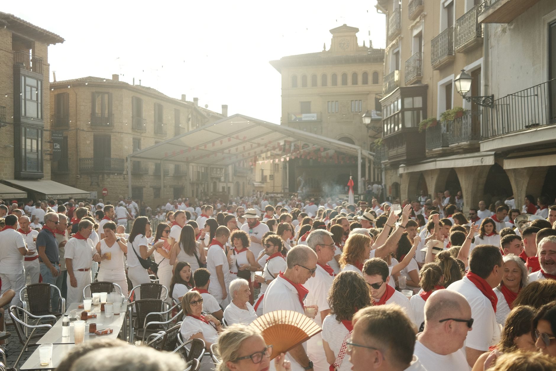
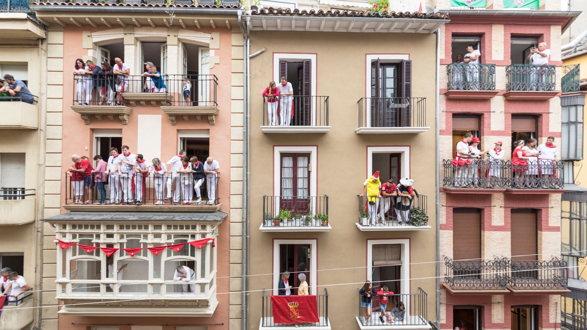
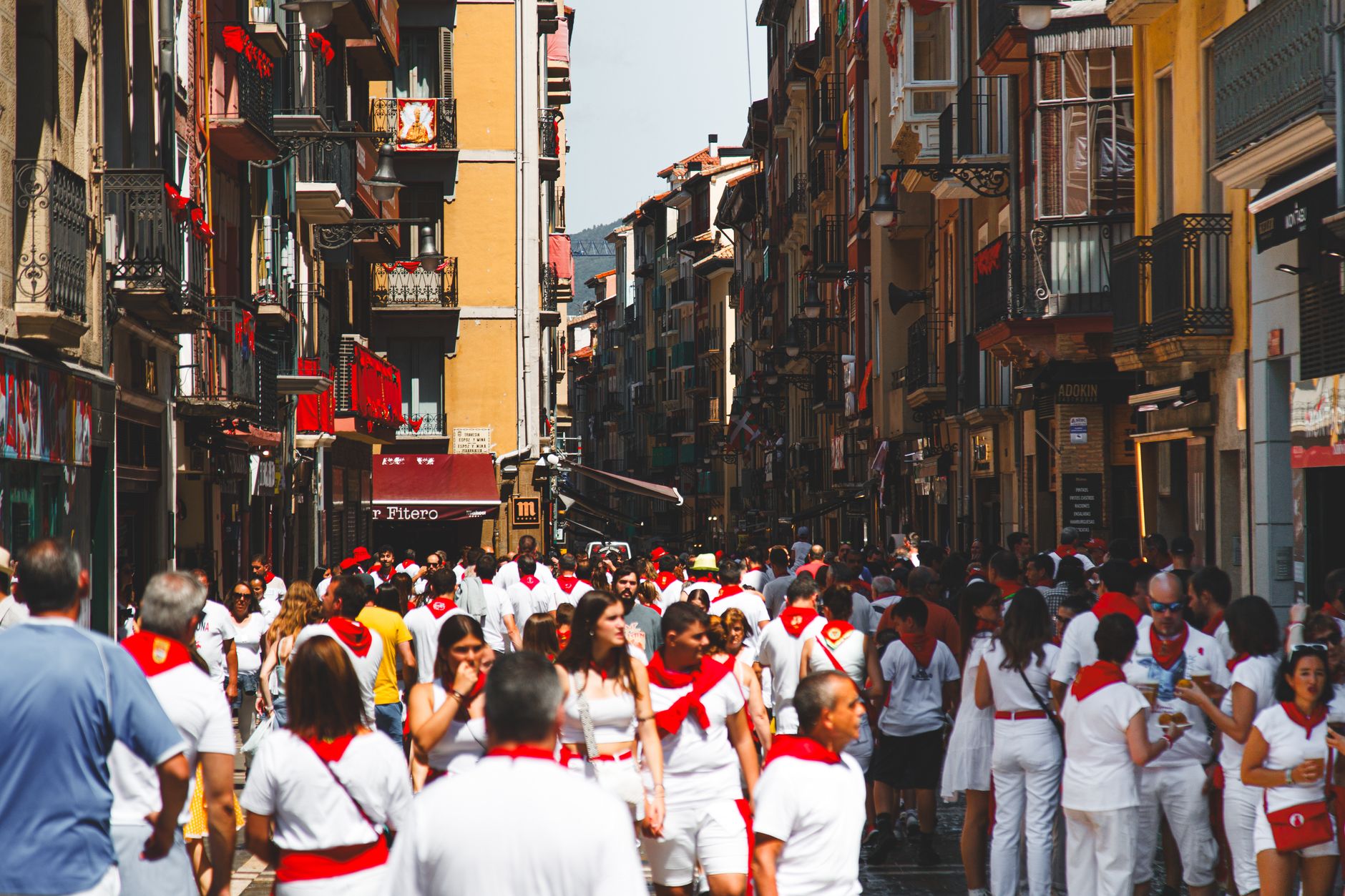
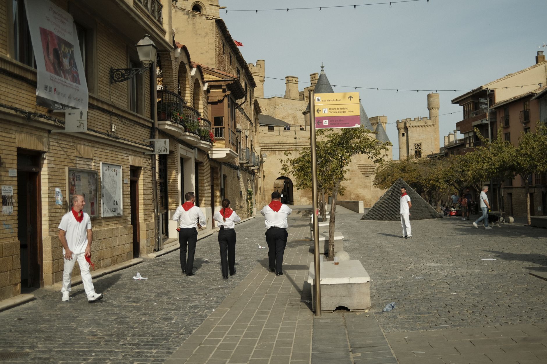
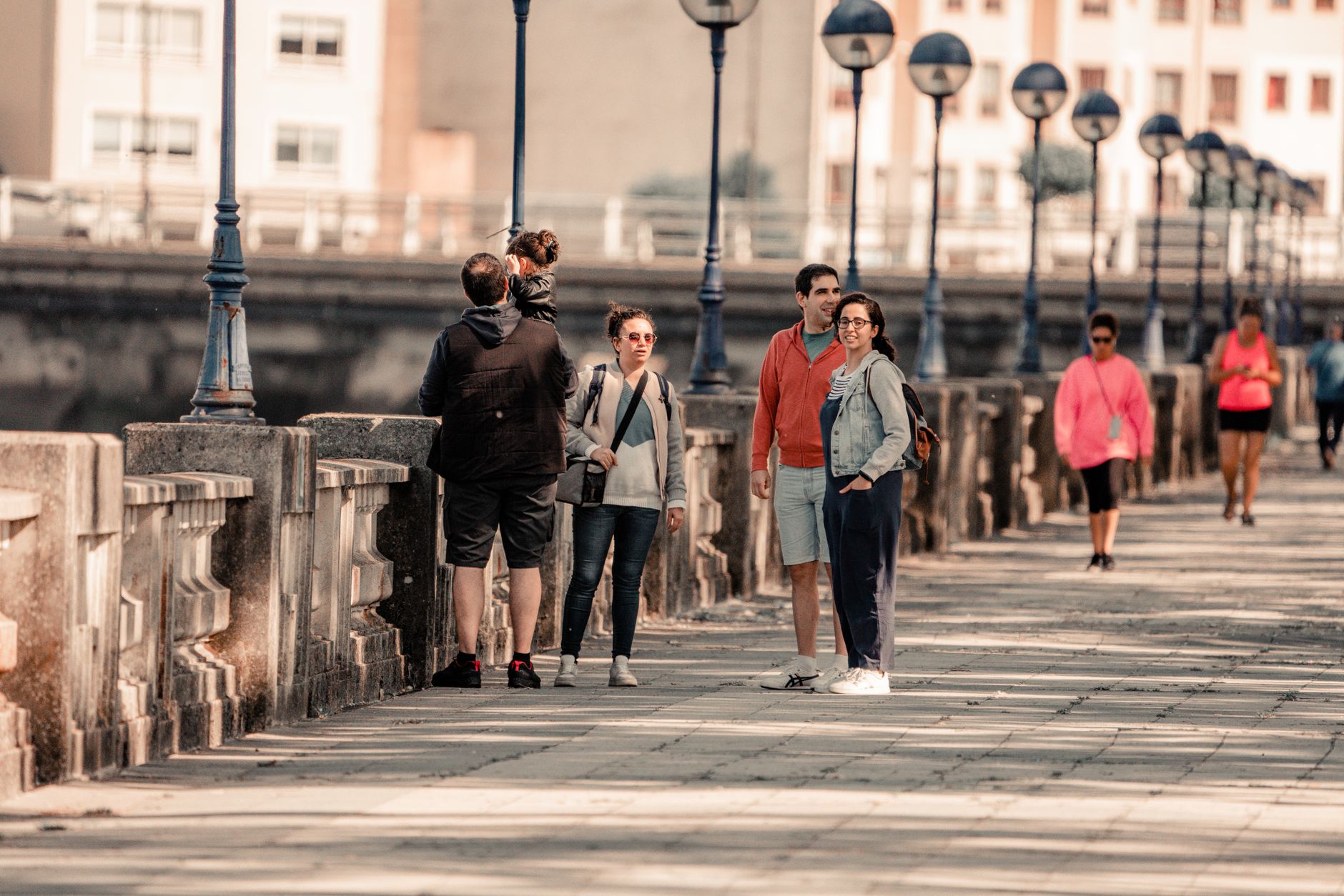
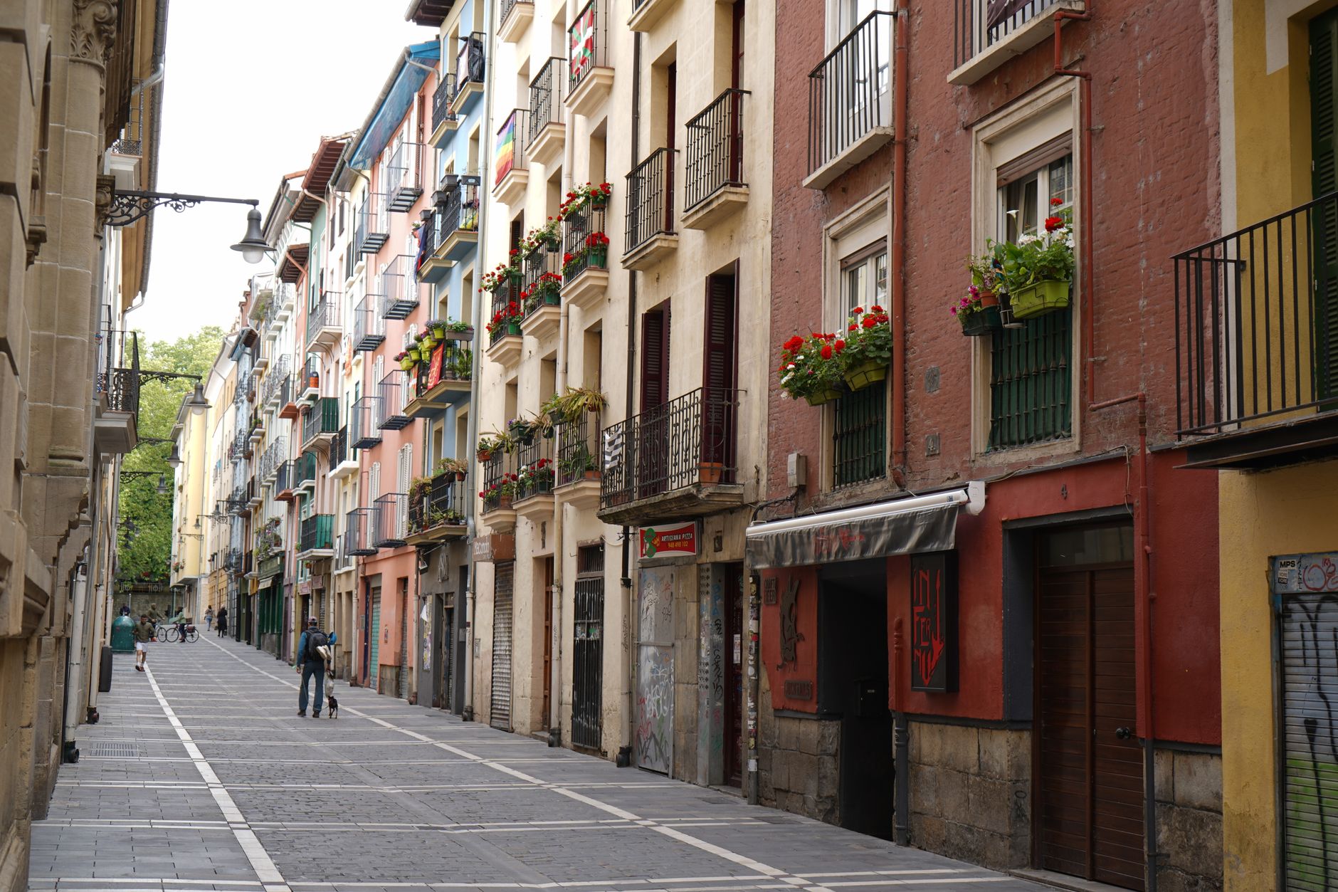
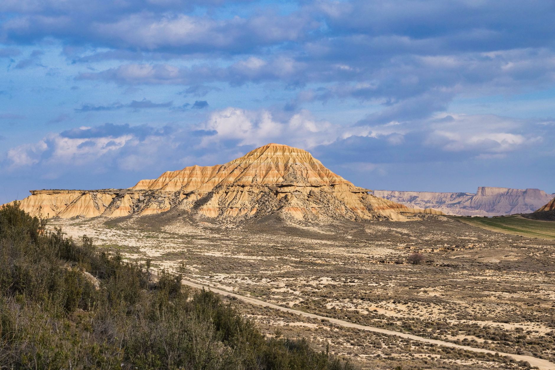
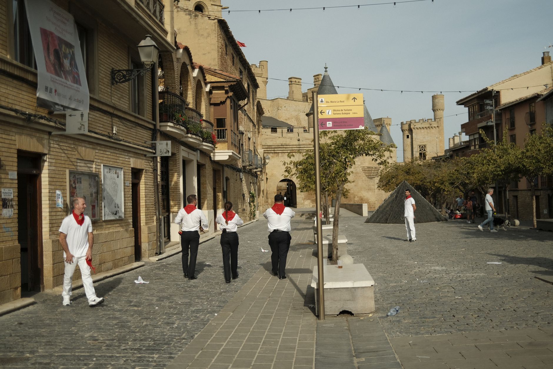
Navarre sits at a crossing point — Pyrenean passes to the north, the broad Ebro valley opening southward, the Camino de Santiago threading through the middle. It is the kind of place where a single day's drive takes you from beech forest to semi-arid ochre plains, from Romanesque monasteries to a medieval palace with hanging gardens. The capital, Pamplona, anchors the region, but the real texture of Navarre lives in the smaller towns: Olite with its slender-towered royal palace, Ujué on its ridge, Roncesvalles at the foot of the pass where pilgrims have been arriving, footsore, for a thousand years.
Popular cities in Navarre
Experiences you don't want to miss


How Navarre came to be
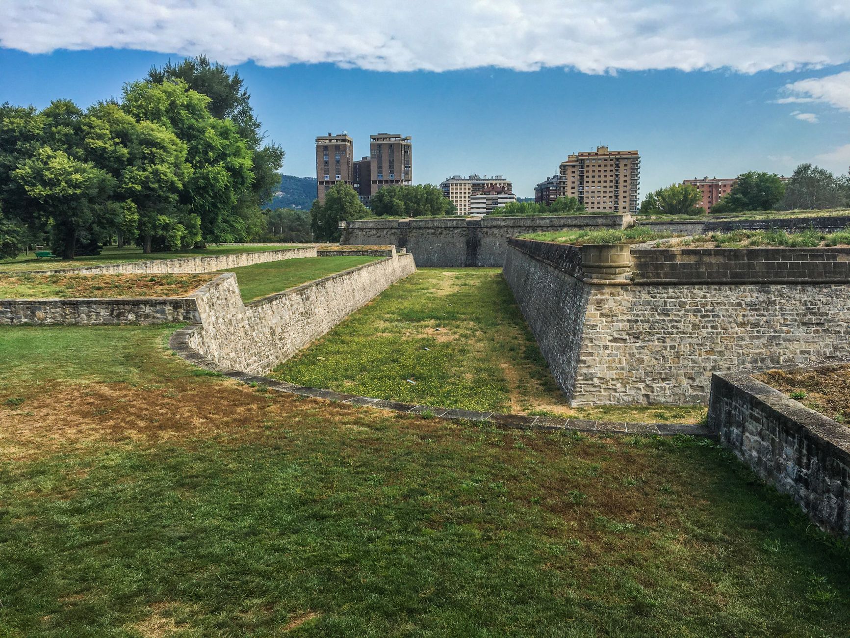
The territory that became Navarre coalesced around Pamplona in the early 9th century, when Íñigo Arista was declared ruler in 824, pushing back against Frankish encroachment from the north. By the early 11th century, under Sancho III Garcés, the kingdom briefly commanded most of Christian Spain — an outsized moment that dissolved almost immediately after his death, when the realm was divided among his heirs.
Navarre's later centuries were shaped by dynastic entanglement and eventual absorption. Ferdinand II of Aragon seized the Spanish portion in 1512, formally annexing it to the Castilian crown in 1515. The last independent Navarrese king, Henry III, inherited the French throne in 1589 as Henry IV, founding the Bourbon dynasty — a remarkable exit for a small mountain kingdom. Navarre became an autonomous community within Spain in 1982.
Who and what shaped it
People who shaped it
Landmark buildings
See Navarre in motion
Plan your visit
On the map
When to go
The north of Navarre — forests, passes, pilgrimage routes — is best in summer and early autumn, when days are warm and rain is lightest. The southern Ebro valley runs hotter: Tudela regularly sees days above 35°C in July and August, while winter across the region is cool and damp, with the mountain areas colder still.
Right now
↡ Cities
No places match these filters.
Background & history adapted from Wikipedia (CC BY-SA) · specs from Wikidata (CC0) · weather from Open-Meteo · map data © OpenStreetMap contributors · photos from Wikimedia Commons / Unsplash with per-image credit. No third-party reviews or social posts reproduced.