
Puente la Reina
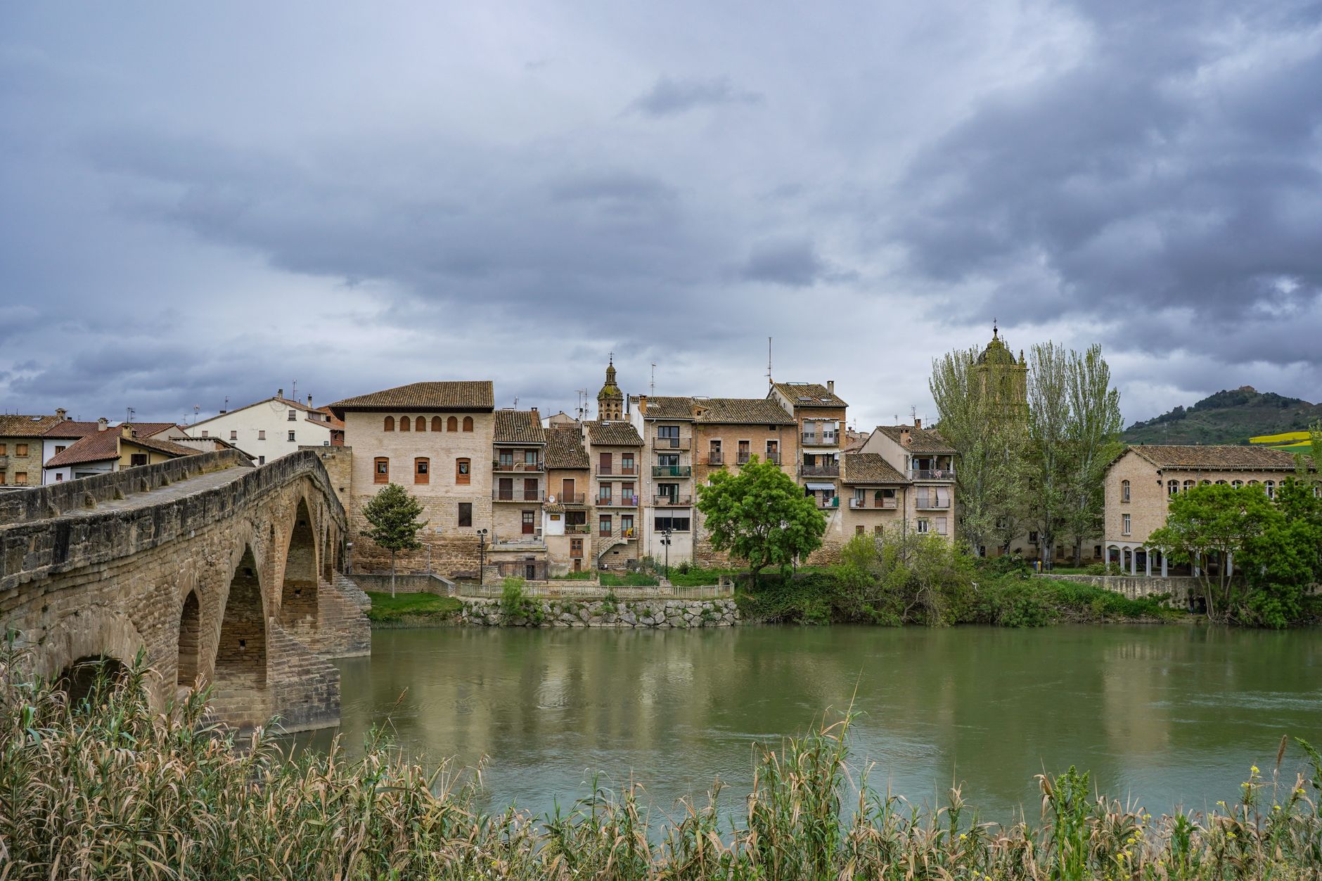
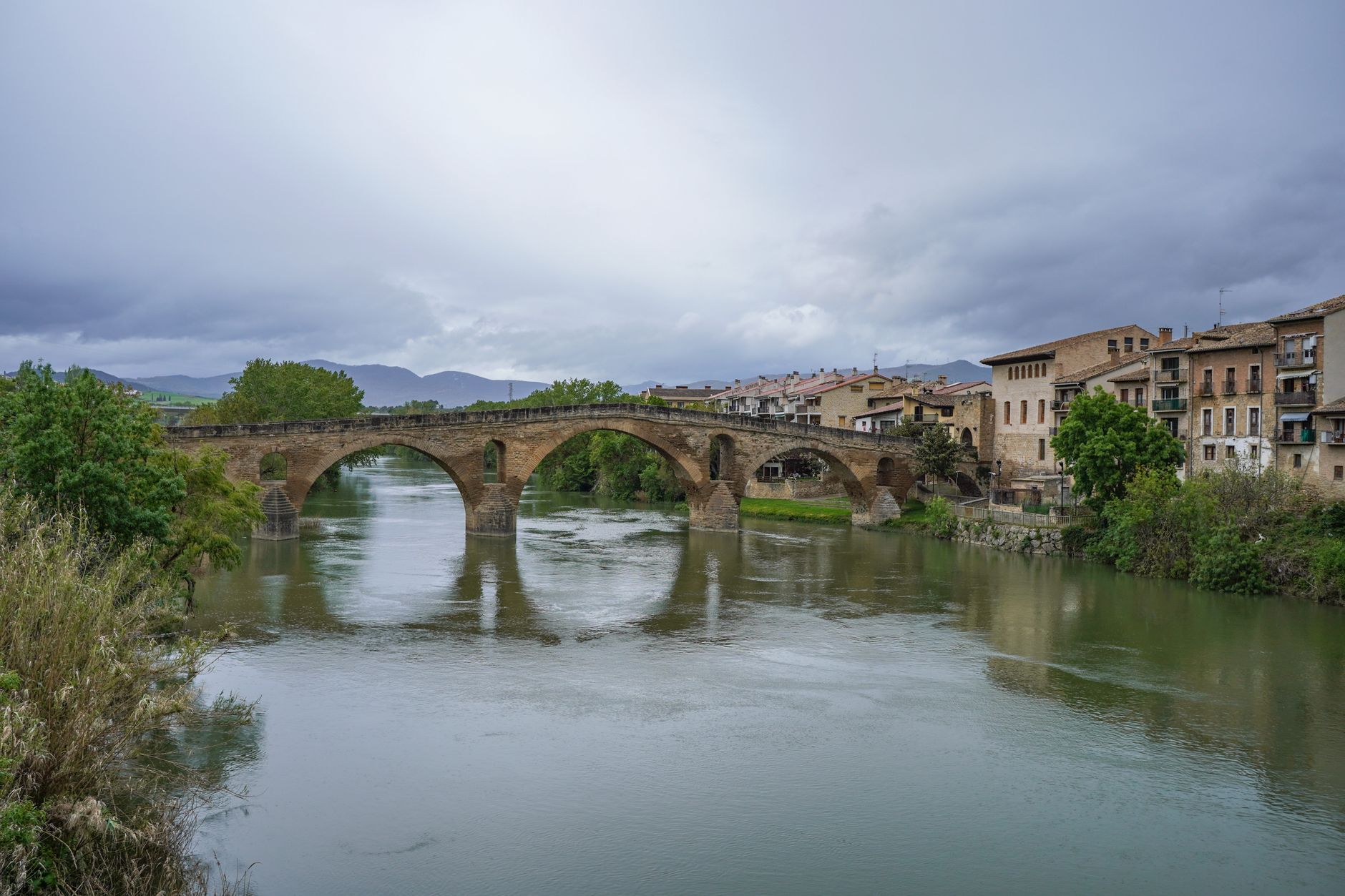
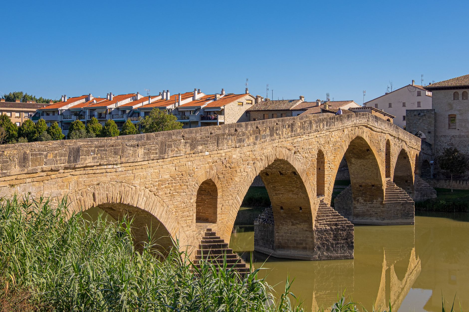

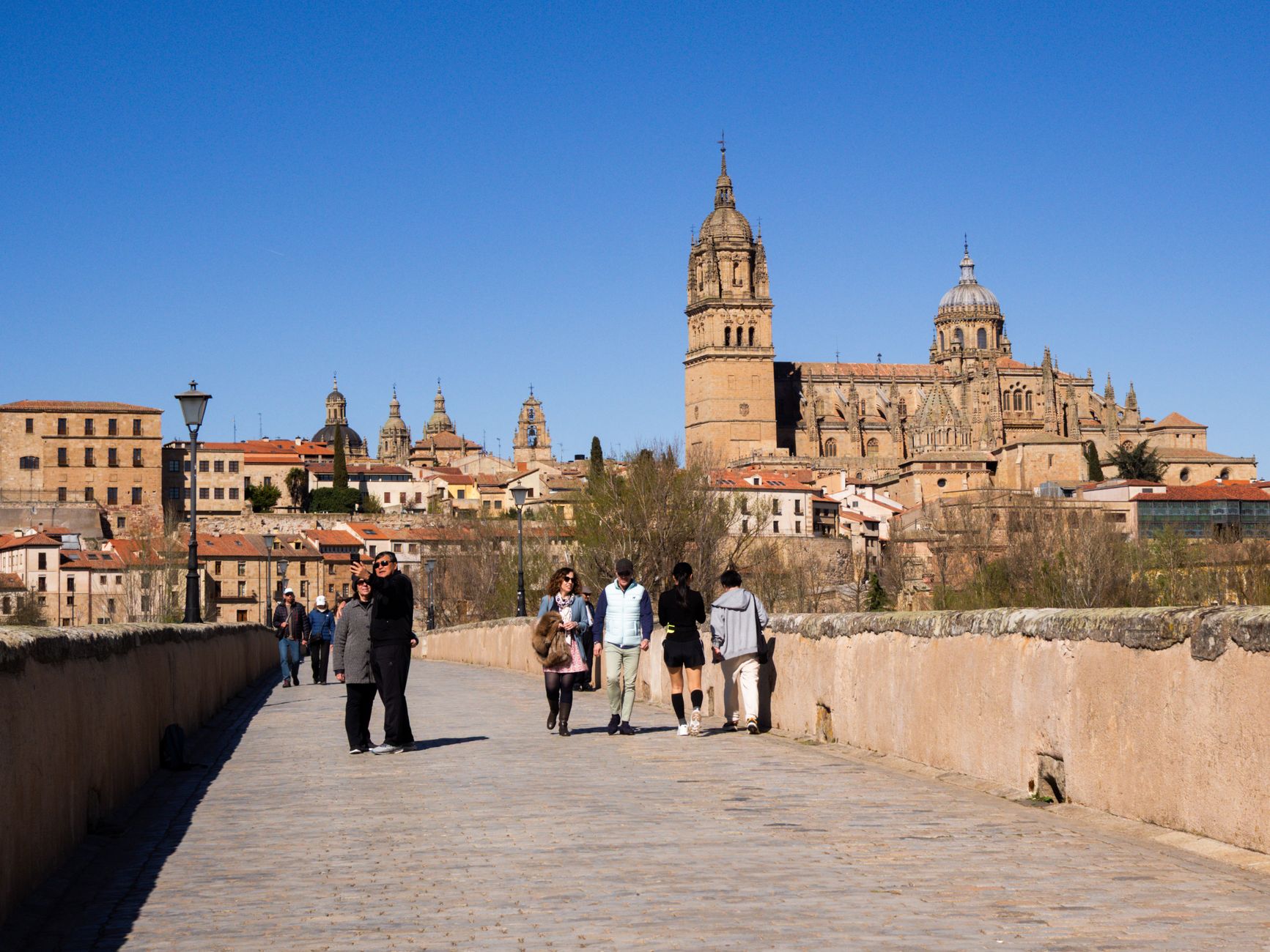
The bridge comes into view before almost anything else. Six Romanesque arches carry it across the Arga — 110 metres of 11th-century stone, four metres wide, built with extra holes in the spandrels so spring floods from the Pyrenees don't push it over. It has been walked by pilgrims for nearly a thousand years, and it still looks like it was built to last another thousand.
Puente la Reina is, in the most literal sense, a town organised around a road. Calle Mayor runs in a straight line from the Iglesia del Crucifijo to the bridge, lined with stone houses of medieval profile, and that is more or less the whole geography. The simplicity is the point.
💛 What travellers fall for
People who've walked the Camino tend to remember two things here: the Y-shaped crucifix inside the Iglesia del Crucifijo — 14th-century, likely from the German Rhineland, and genuinely strange in the best way — and the feeling of standing on the bridge at dusk when the day's pilgrims have moved on and the Arga is quiet.
Experiences you don't want to miss


Deals in Puente la Reina
Book directly at the providerHow Puente la Reina came to be
The bridge itself was commissioned in the 11th century by Queen Muniadona, wife of King Sancho III — a royal act of infrastructure that gave the town both its name and its reason for existing. The settlement around it was formally founded in the 12th century by Alfonso I, known as El Batallador, who granted it a fuero, a royal charter, in 1122. The intent was straightforward: populate the land along the pilgrims' route to Santiago de Compostela and give travellers a safe crossing of the Arga.
The Knights Templar arrived in the late 12th century, founding the Iglesia del Crucifijo and establishing a hostel and hospital on the outskirts. By the 13th century the town had been enclosed within a rectilinear wall with 26 towers, its three parallel streets laid out in the French bastide style. In 1874, the Carlist pretender Don Carlos spent a night in the Patrimonial Palace on Calle Mayor before continuing south to Estella.
Who and what shaped it
People who shaped it
Landmark buildings
See Puente la Reina in motion
Plan your visit
On the map
When to go
Summers are warm and dry, with temperatures reaching the low 80s Fahrenheit; winters turn genuinely cold, often dropping to freezing. May through October is the most comfortable window, with spring bringing the Arga to its fullest from Pyrenean snowmelt.
Right now
Background & history adapted from Wikipedia (CC BY-SA) · specs from Wikidata (CC0) · weather from Open-Meteo · map data © OpenStreetMap contributors · photos from Wikimedia Commons / Unsplash with per-image credit. No third-party reviews or social posts reproduced.