
Villava
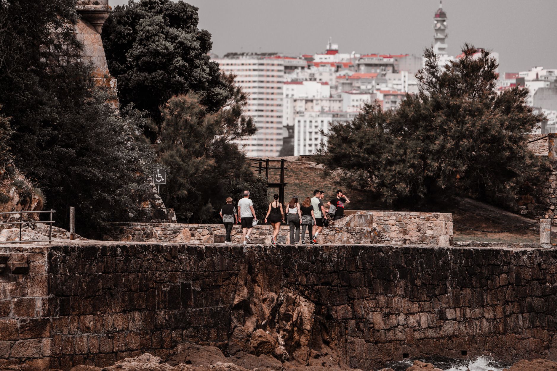
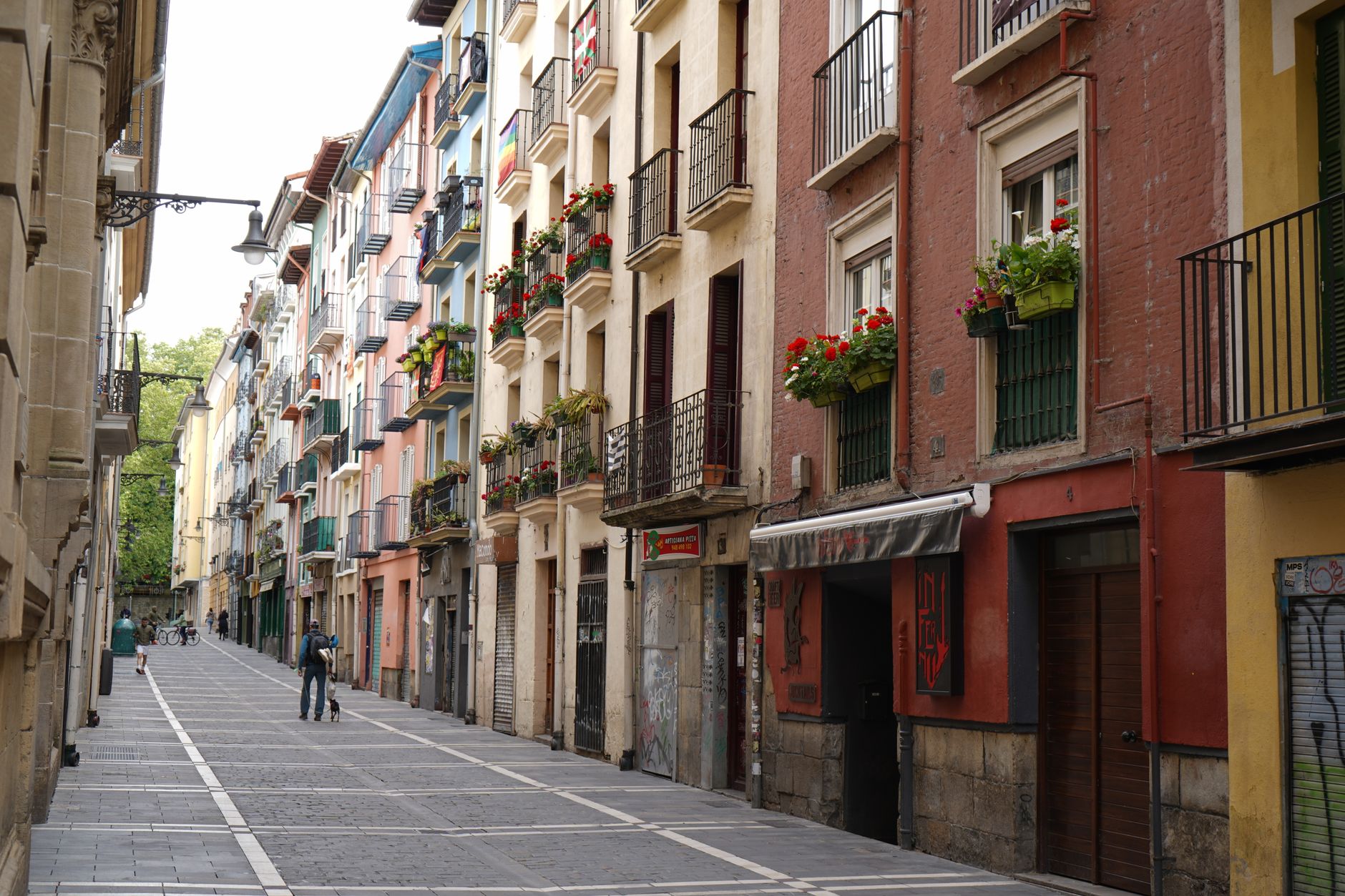
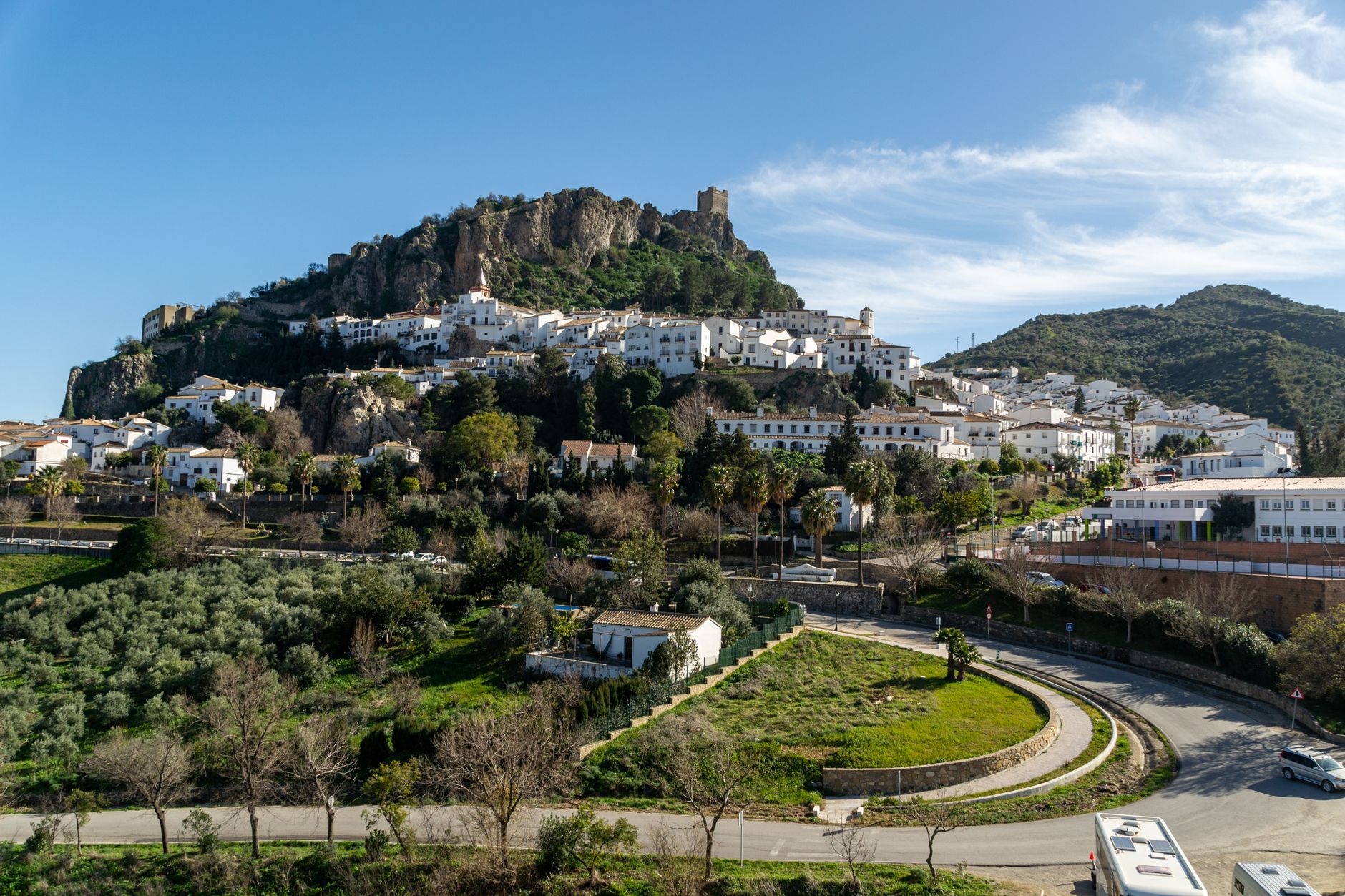
Four kilometres north-east of Pamplona, Villava sits where the Camino de Santiago used to be the main street — because it still is. The pilgrim road runs straight through the old centre, and the buildings on either side grew up around it across nine centuries, which gives the place a particular logic: everything faces the path.
Most people pass through on foot with a shell on their pack. Slower visitors find a town that has genuinely lived: a 12th-century mill that processed wool, then paper pulp, now runs as a river park museum; a Renaissance manor stands two blocks from a Romanesque bridge the Romans laid first.
💛 What travellers fall for
People who stop more than one night tend to mention the Batán. The old cloth mill by the Arga cascade is quiet on weekday mornings, and the water is loud enough that you stop thinking about Pamplona entirely. The Line 7 bus back runs every ten minutes on weekdays — so there is no reason to rush.
Experiences you don't want to miss



Deals in Villava
Book directly at the provider

How Villava came to be
Villava was founded in 1184 by Sancho VI of Navarre, the king known as the Wise, and its early shape was entirely determined by the Camino de Santiago running through it. The Trinidad bridge at Arre — spanning the Ultzama River on a Roman causeway that once linked Bordeaux to Astorga — predates the town itself, and the 12th-century church and pilgrim hospital beside it were already old when the first houses went up along the pilgrim road.
The 19th century was hard. The wars of the French Revolution and the Carlist conflicts tore through the town centre, demolishing much of what had accumulated over six hundred years. What survived — the 17th-century Town Hall with its two stone coats of arms, the Rollo column asserting communal jurisdiction, the Batán mill the monks of Roncesvalles built — did so against the odds. The 1960s brought a different kind of transformation: rapid industrial growth turned Villava into a working suburb of Pamplona, with paper mills and bus assembly plants replacing the medieval economy almost entirely.
Who and what shaped it
People who shaped it
Landmark buildings
See Villava in motion
Plan your visit
On the map
When to go
Villava is wet year-round — nearly 800 mm of rain annually, with no truly dry month. July is the least rainy, with around 31 mm, and July and August are the warmest months; if you are walking any part of the Camino through here, that is the window to aim for. Autumn and spring are mild but expect rain.
Right now
Background & history adapted from Wikipedia (CC BY-SA) · specs from Wikidata (CC0) · weather from Open-Meteo · map data © OpenStreetMap contributors · photos from Wikimedia Commons / Unsplash with per-image credit. No third-party reviews or social posts reproduced.