
Sangüesa
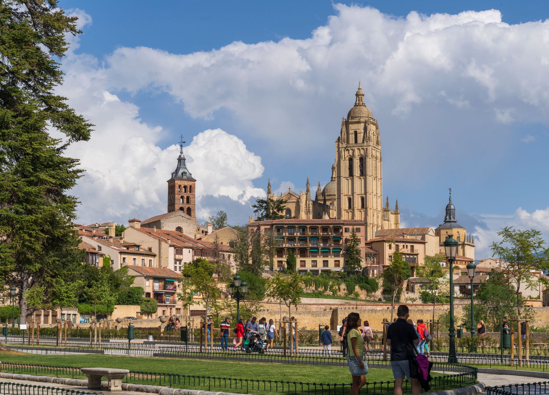
Stand in front of the main façade of Santa María la Real and give it a full five minutes. The stone is carved with the Final Judgement in a density that rewards slow looking — apostles, demons, elders, all pressed into arches and tympanum by hands that belonged, in part, to a Gallic sculptor named Leodegario. The church dates from 1131, and the town around it grew from a deliberate act: a bridge over the River Aragón, built in 1089, and a king who decided this crossing was worth settling.
Sangüesa is a small Navarrese town of around five thousand people, 44 kilometres south-east of Pamplona, and its compact centre holds a surprising number of medieval and Renaissance buildings — palaces, convents, churches — arranged along streets that still follow the logic of a pilgrim road.
💛 What travellers fall for
People who come back tend to arrive for the January 6th Three Wise Men procession, the "Auto de los Reyes Magos," declared a Festival of Tourist Interest of Navarre — it draws a crowd that feels genuinely local. The September patron saint days (11th–17th) are the other anchor. Either way, the Calle Mayor is where the day begins and ends.
Experiences you don't want to miss




Deals in Sangüesa
Book directly at the provider

How Sangüesa came to be
Sangüesa's existence traces to a single infrastructure decision: in 1089, Sancho Ramírez ordered a bridge built over the River Aragón and relocated the settlement to its present site to take advantage of the crossing. The town's real expansion came in 1121, when Alfonso I — known as the Battler — extended the fuero of Jaca to Sangüesa, opening the door for Frankish merchants to settle and trade. Ten years later, Alfonso donated Santa María la Real to the Knights of Saint John.
By the 13th century Sangüesa was head of its own merindad, one of six administrative divisions of the Kingdom of Navarre, and held a seat in the Courts with the title "Good Town." In 1430, Queen Blanca granted it market privileges to help the town recover from flood damage — a reminder that the river that made Sangüesa also threatened it. The medieval bridge itself was eventually swept away by floods in 1787 and replaced in 1891 by the current iron structure.
Who and what shaped it
People who shaped it
Landmark buildings
See Sangüesa in motion
Plan your visit
On the map
When to go
Summers are warm and dry, good for walking the stone streets without rain slowing you down. Spring and early autumn are mild and quieter, the better seasons if you want the monuments to yourself.
Right now
Background & history adapted from Wikipedia (CC BY-SA) · specs from Wikidata (CC0) · weather from Open-Meteo · map data © OpenStreetMap contributors · photos from Wikimedia Commons / Unsplash with per-image credit. No third-party reviews or social posts reproduced.