
Bavarian Alps
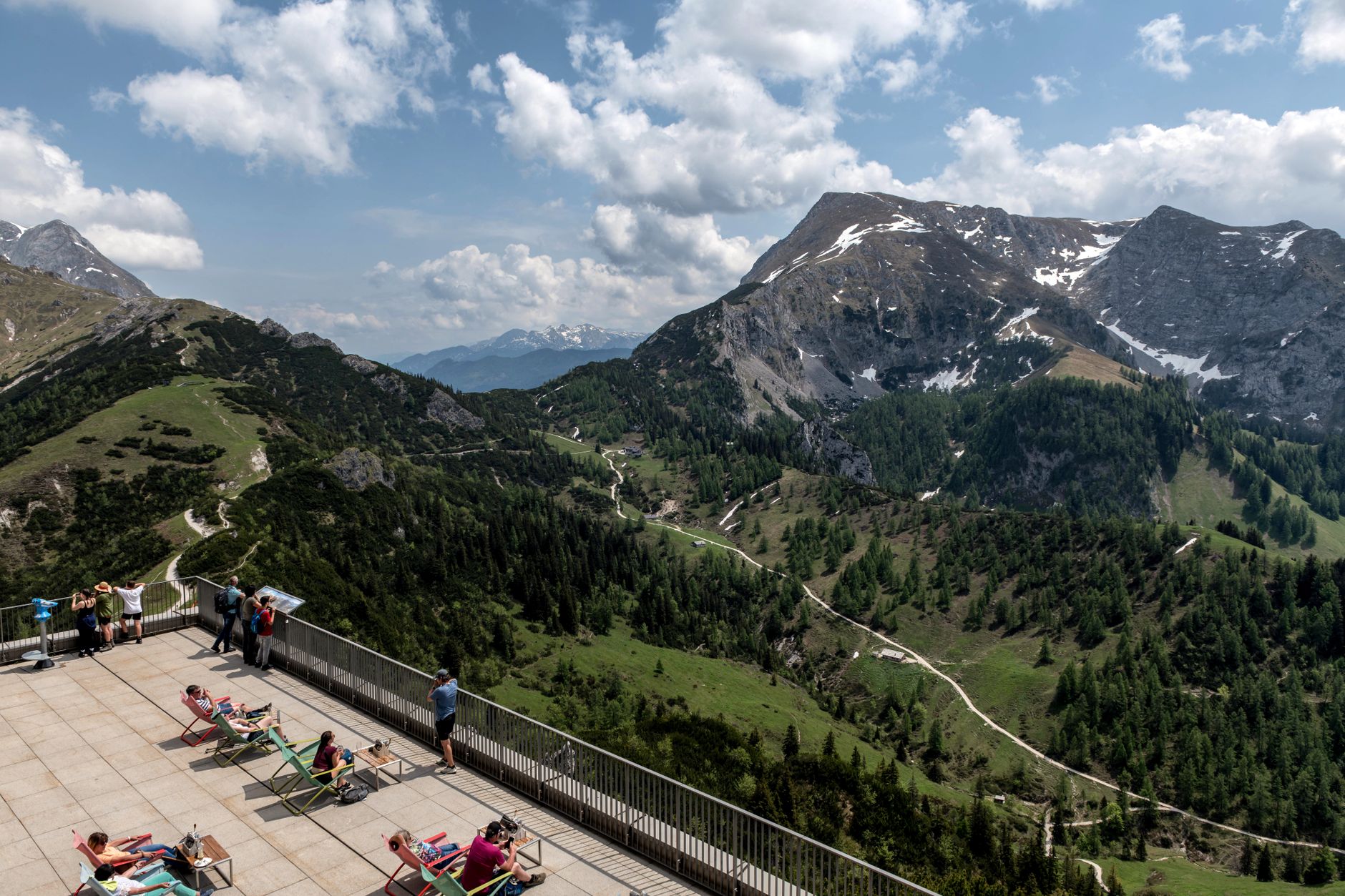
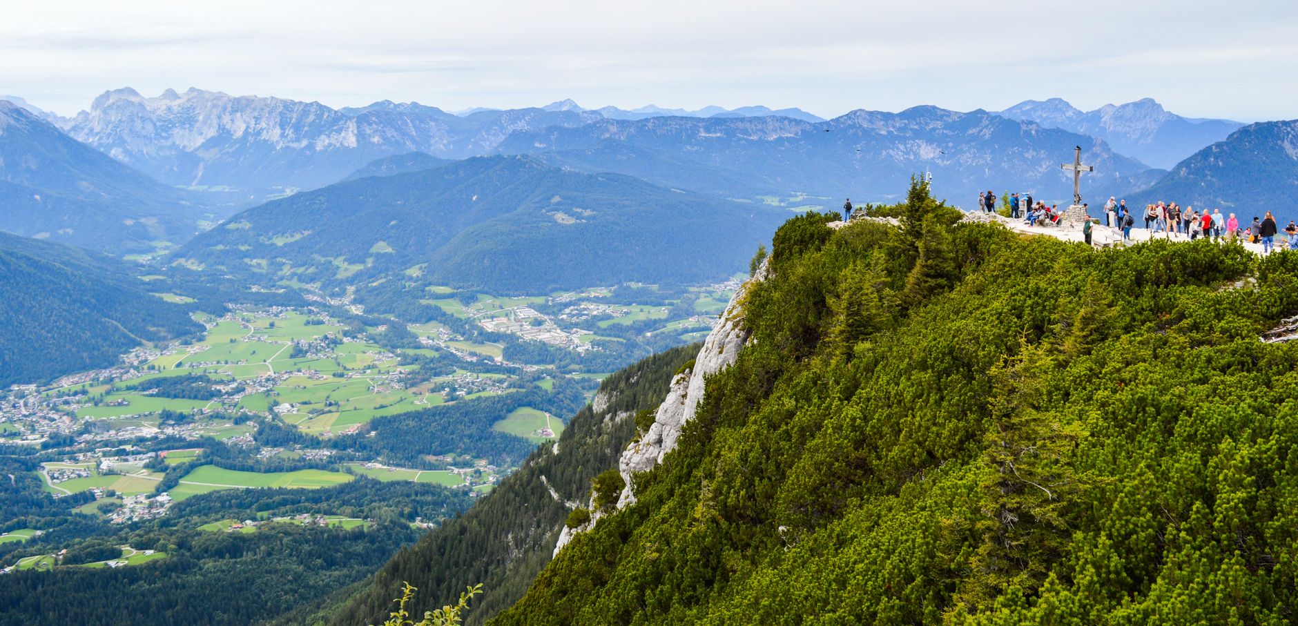
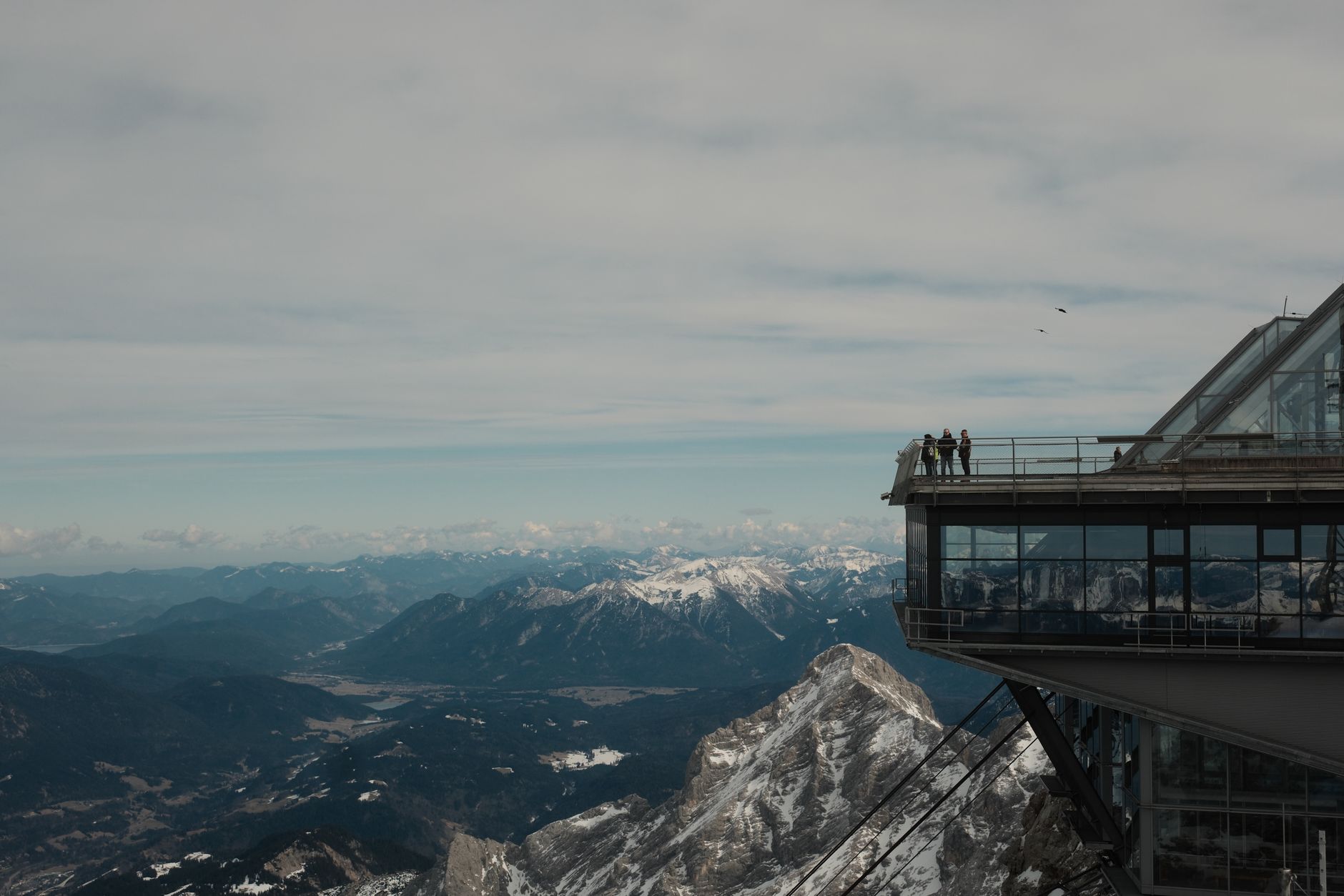
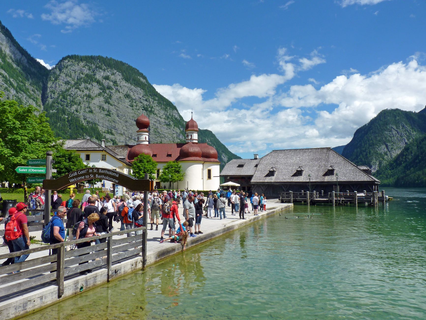
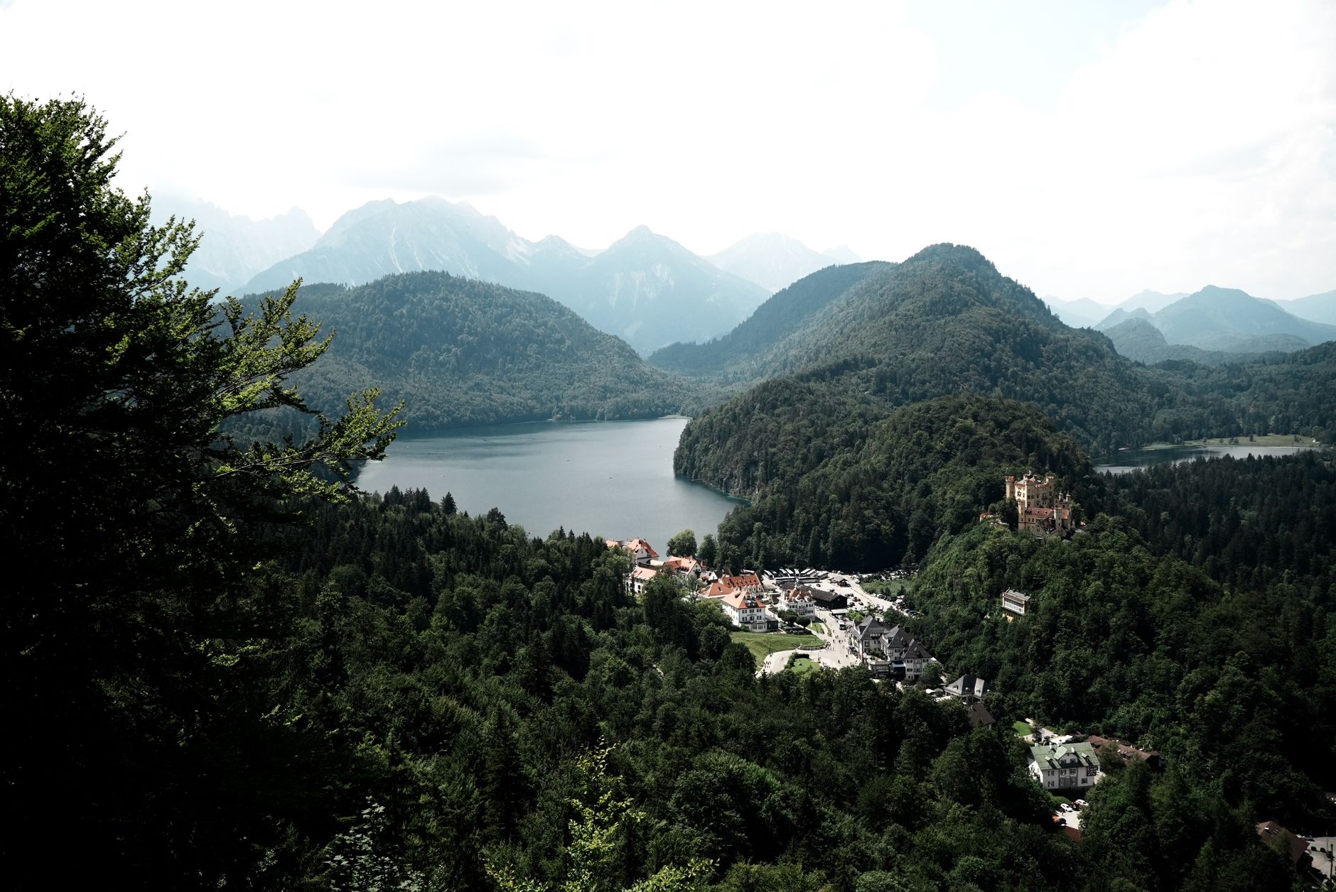
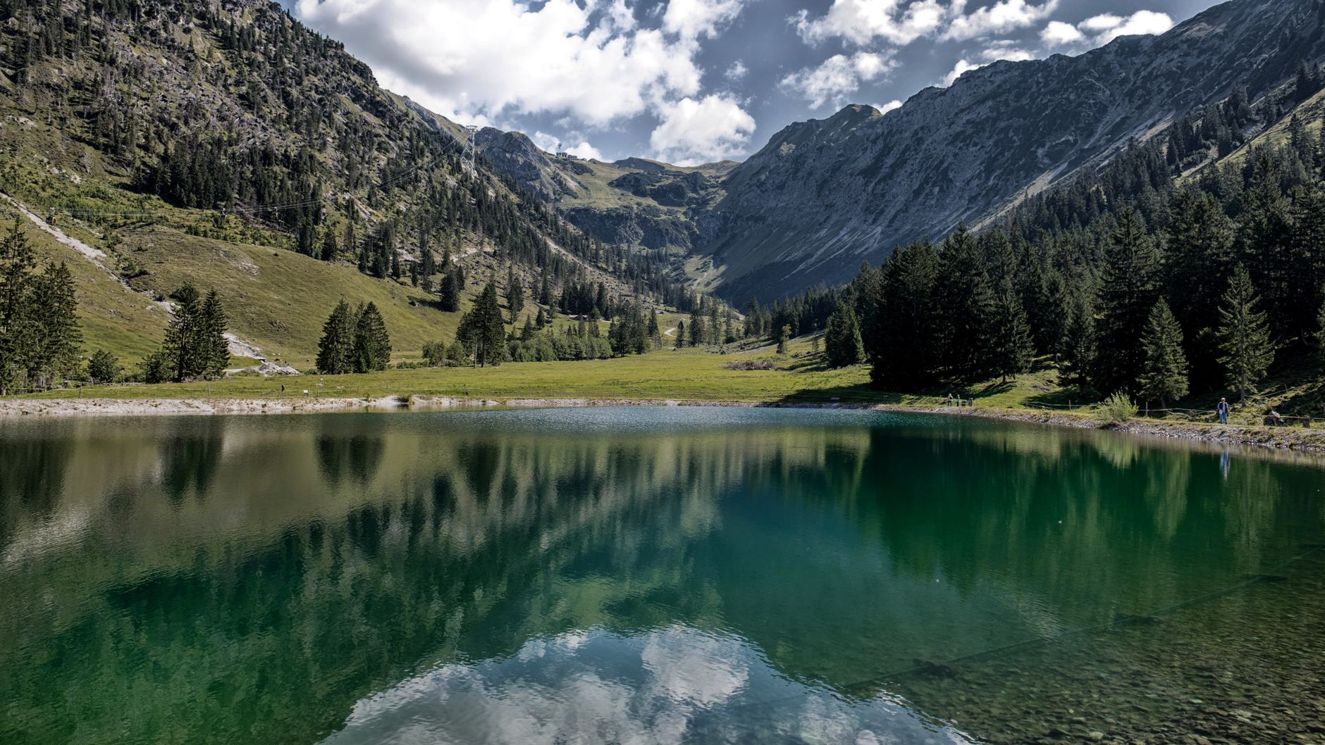
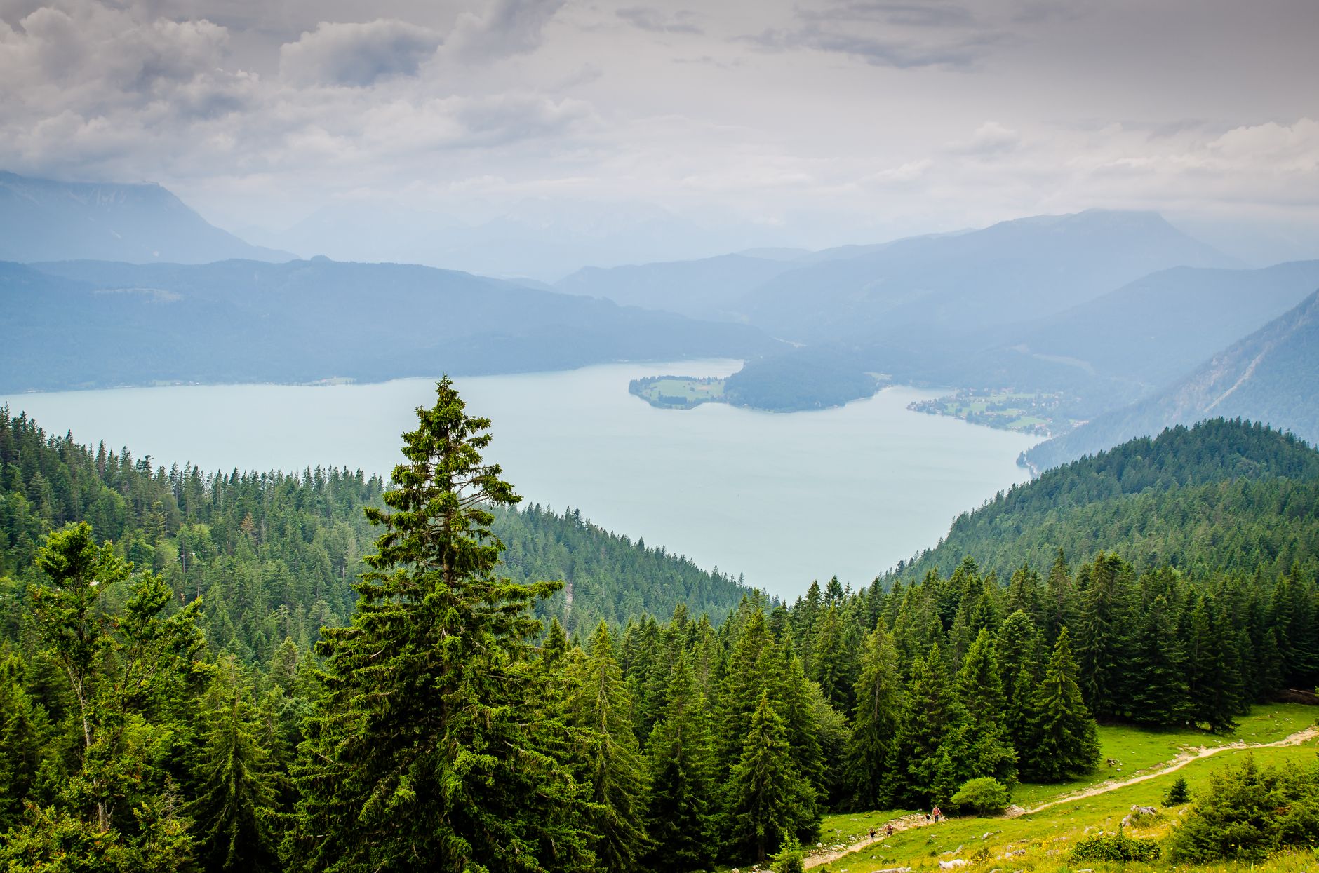
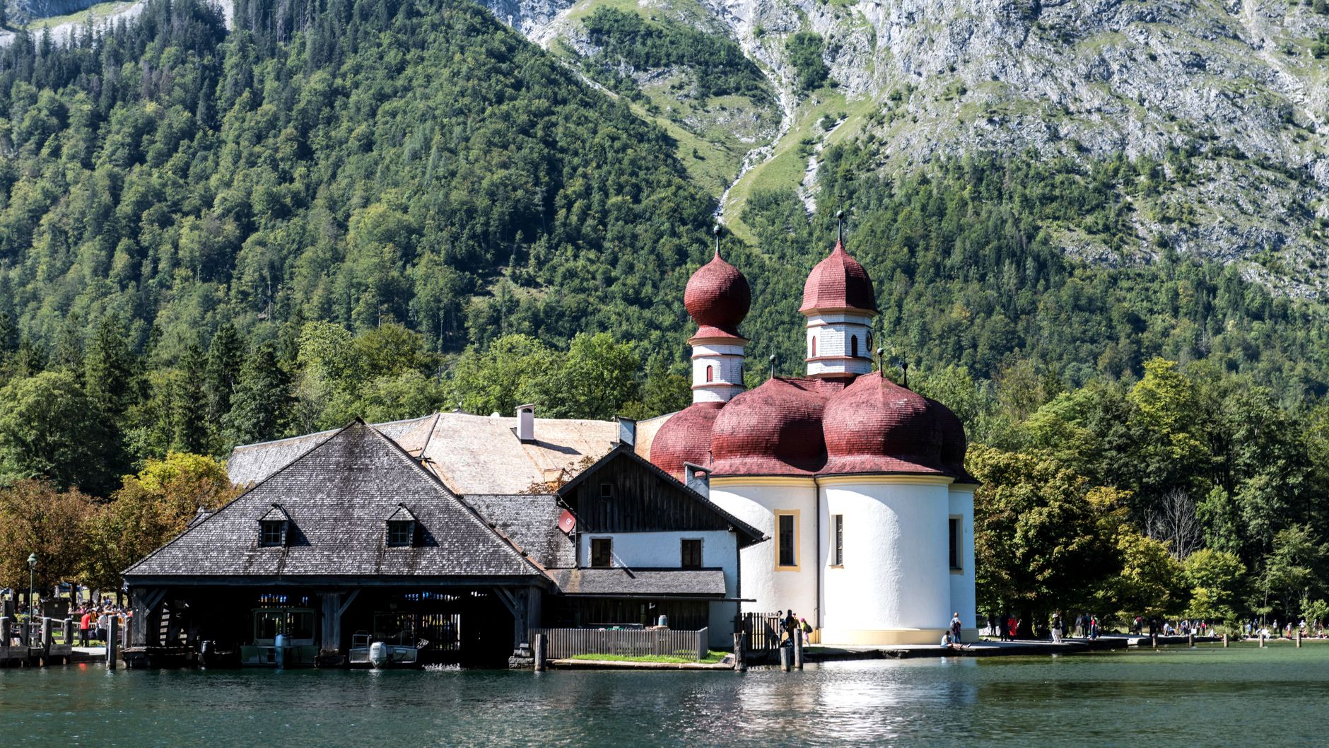
The Bavarian Alps run in a 150-kilometre arc from Füssen in the west to Berchtesgaden in the east, and the range holds Germany's highest point — the Zugspitze, at 2,962 metres, with two small glaciers still clinging to its upper flanks. This is a landscape that shifts register quickly: fairy-tale castle above a lake one hour, a river forcing itself through a 700-metre crack in the rock the next.
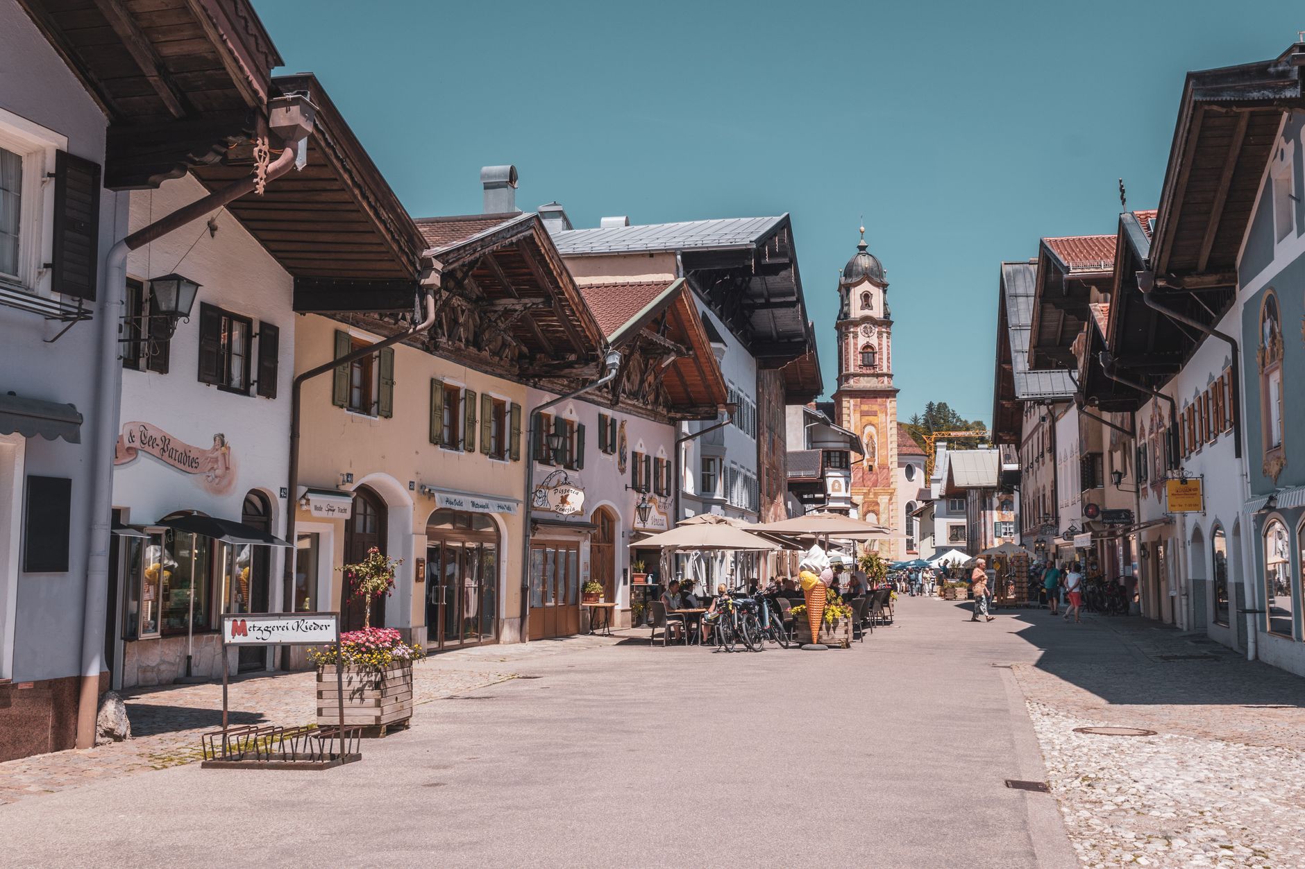
Garmisch-Partenkirchen sits at the centre and makes a practical base. Neuschwanstein anchors the western end; quieter Mittenwald and Oberammergau offer breathing room if the main circuit feels crowded. Four to seven days lets you move through it properly rather than just ticking summits.
Popular cities in Bavarian Alps
How Bavarian Alps came to be
People have been using these mountains for a long time. Neolithic communities left traces here, and by the Iron Age — around 750 BC — Celtic tribes such as the Boii were grazing livestock on the high pastures. Rome eventually absorbed the territory into the provinces of Raetia and Noricum in the first century AD, and after the empire's withdrawal, the Duchy of Bavaria took shape in 555 AD.
The mountains' most theatrical chapter came later, when Ludwig II of Bavaria built Neuschwanstein above Schwangau — a castle so relentlessly photographed that it now draws 3.5 million visitors a year. His father, Ludwig I, had earlier revived the older Hohenschwangau Castle from a ruined medieval fortress. The 14th-century Ettal Abbey, still operating as a Benedictine monastery complete with brewery and dairy, represents a quieter but equally durable kind of permanence.
Who and what shaped it
People who shaped it
Landmark buildings
See Bavarian Alps in motion
Plan your visit
On the map
When to go
Summers are warm and green, with temperatures reaching around 24°C, though afternoon thunderstorms roll in quickly at altitude. Winters drop to around 3°C in the valleys, with reliable snow on the upper slopes from December through March — spring and autumn bring the clearest skies and thinner crowds.
Right now
↡ Cities
Background & history adapted from Wikipedia (CC BY-SA) · specs from Wikidata (CC0) · weather from Open-Meteo · map data © OpenStreetMap contributors · photos from Wikimedia Commons / Unsplash with per-image credit. No third-party reviews or social posts reproduced.