
Lenggries


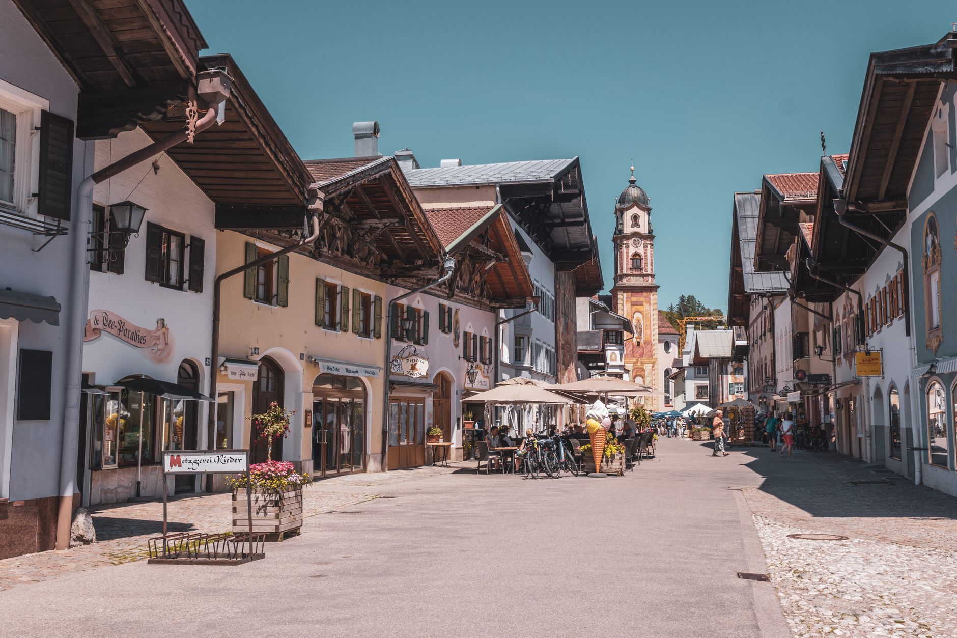
The name gives it away if you know your old Bavarian: Lenggries means something like 'long rubble field', a reference to the debris the Isar dragged down from the mountains over centuries. That geological bluntness suits the place. Sitting at just under 700 metres in the Isarwinkel — the curve of the Isar valley between Bad Tölz and Wallgau — Lenggries is a working Bavarian town with a ski mountain attached, a reservoir that rewrote the local landscape, and a train line that has been pulling Münchners south since 1924.
The Brauneck rises behind the valley station, the white-washed Jakobskirche anchors the town centre, and on Corpus Christi you'll see traditional costume worn without any sense of performance. Ludwig Thoma, one of Germany's sharper satirical writers, grew up here — which tells you something about the local temperament.
💛 What travellers fall for
People who come back tend to time it around September: the summer crowds have thinned, the 17-degree afternoons are clear, and the Brauneck cable car queue is manageable. The Heimatmuseum on Town Hall Square rewards a quiet hour — the timber-rafting section alone explains half the town's identity. And yes, the brass band plays at the Musik Pavilion most weeks.
Deals in Lenggries
Book directly at the provider

How Lenggries came to be
A monastery document from around 1205 records the first known mention of the place, and by 1257 it appears again in writing. For centuries the town answered to the Barons of Hörwarth at Schloss Hohenburg, a relationship that only ended in 1848. In 1705, Lenggries organised the first local resistance against Austrian occupation — a mobilisation that fed into the wider tragedy known as Sendling's Night of Murder. Political independence came gradually through Bavarian edicts between 1808 and 1818.
The 20th century arrived fast. In June 1905, Germany's first motorised post and passenger line — the Kraftpost — ran between Bad Tölz and Lenggries. The railway followed in 1924, and with it, tourism. Between 1954 and 1959 the Sylvenstein reservoir was constructed upstream for flood control, permanently altering the valley's geography. In 2009, the International Timber Raftsmen Association recognised the town's long relationship with the Isar by naming it a 'village of timber rafting'.
Who and what shaped it
People who shaped it
Landmark buildings
See Lenggries in motion
Plan your visit
On the map
When to go
Winters are genuinely cold — January nights drop to around -6°C and snowfall is reliable, which is the point. Summers are warm but wet, with June averaging 18 rainy days; July is the sunniest month but also one of the dampest. September sits at roughly 18°C and offers the most forgiving combination of light, warmth, and clear skies.
Right now
Background & history adapted from Wikipedia (CC BY-SA) · specs from Wikidata (CC0) · weather from Open-Meteo · map data © OpenStreetMap contributors · photos from Wikimedia Commons / Unsplash with per-image credit. No third-party reviews or social posts reproduced.