
Kochel am See
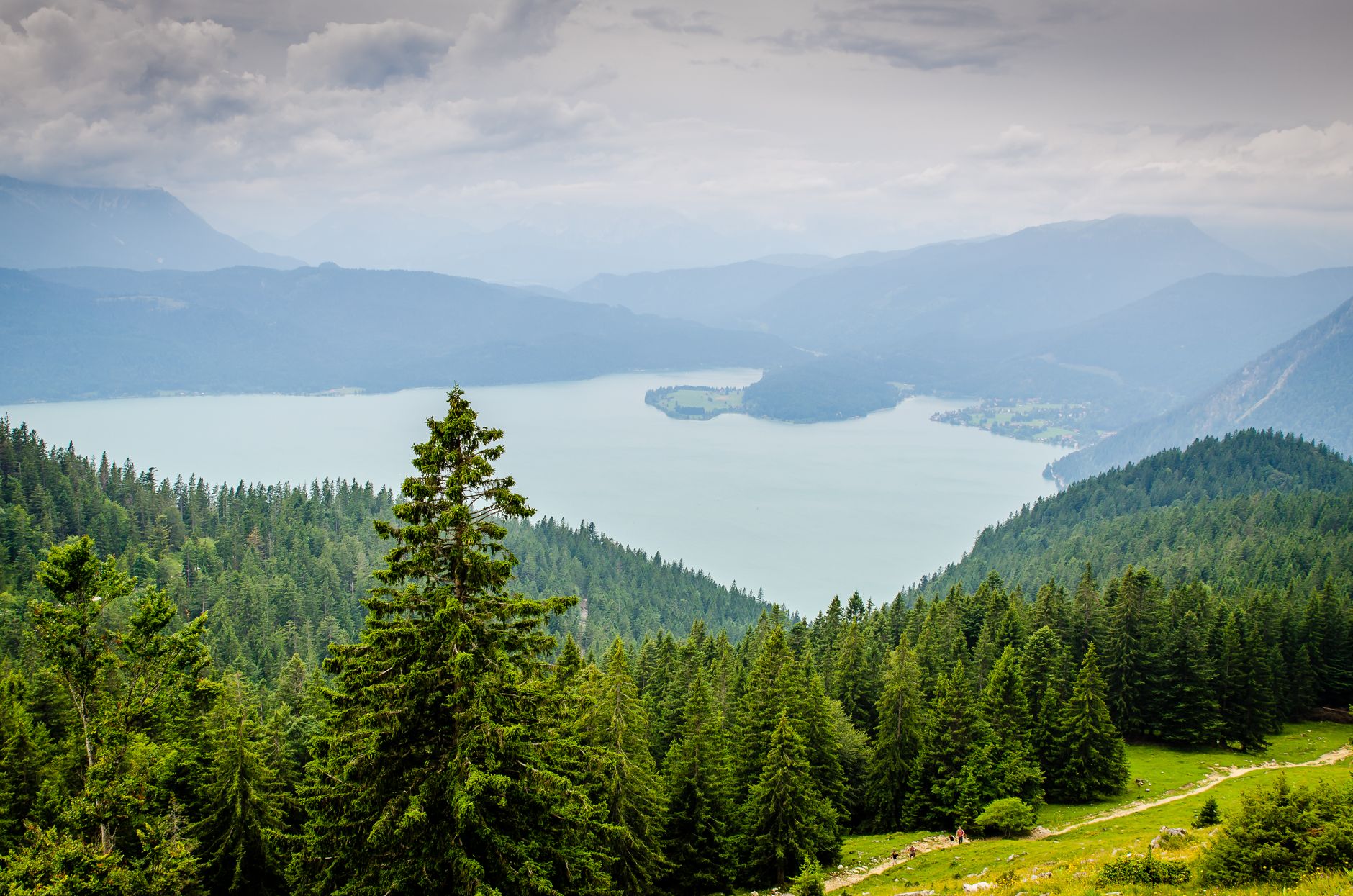
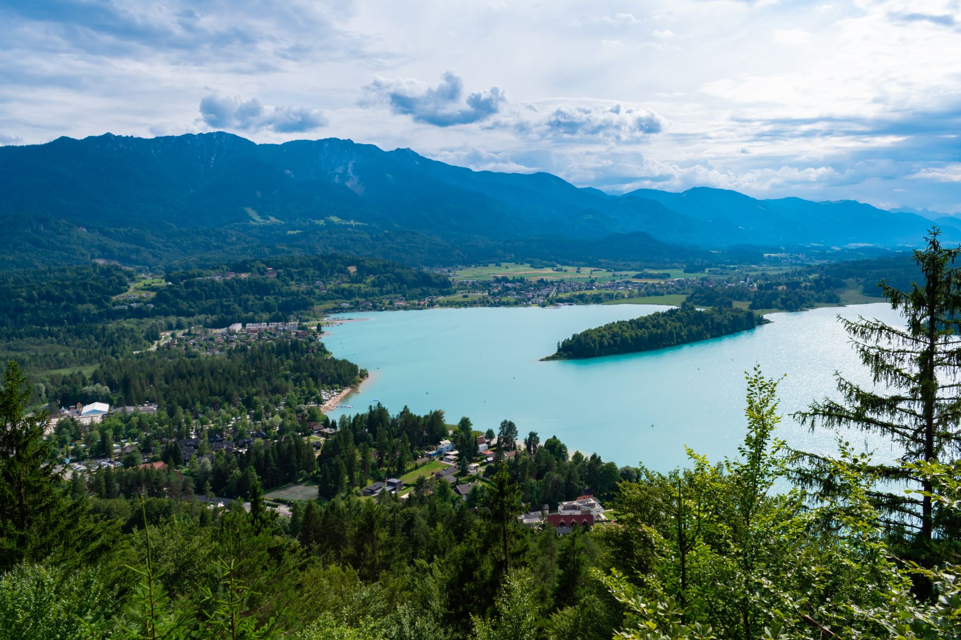
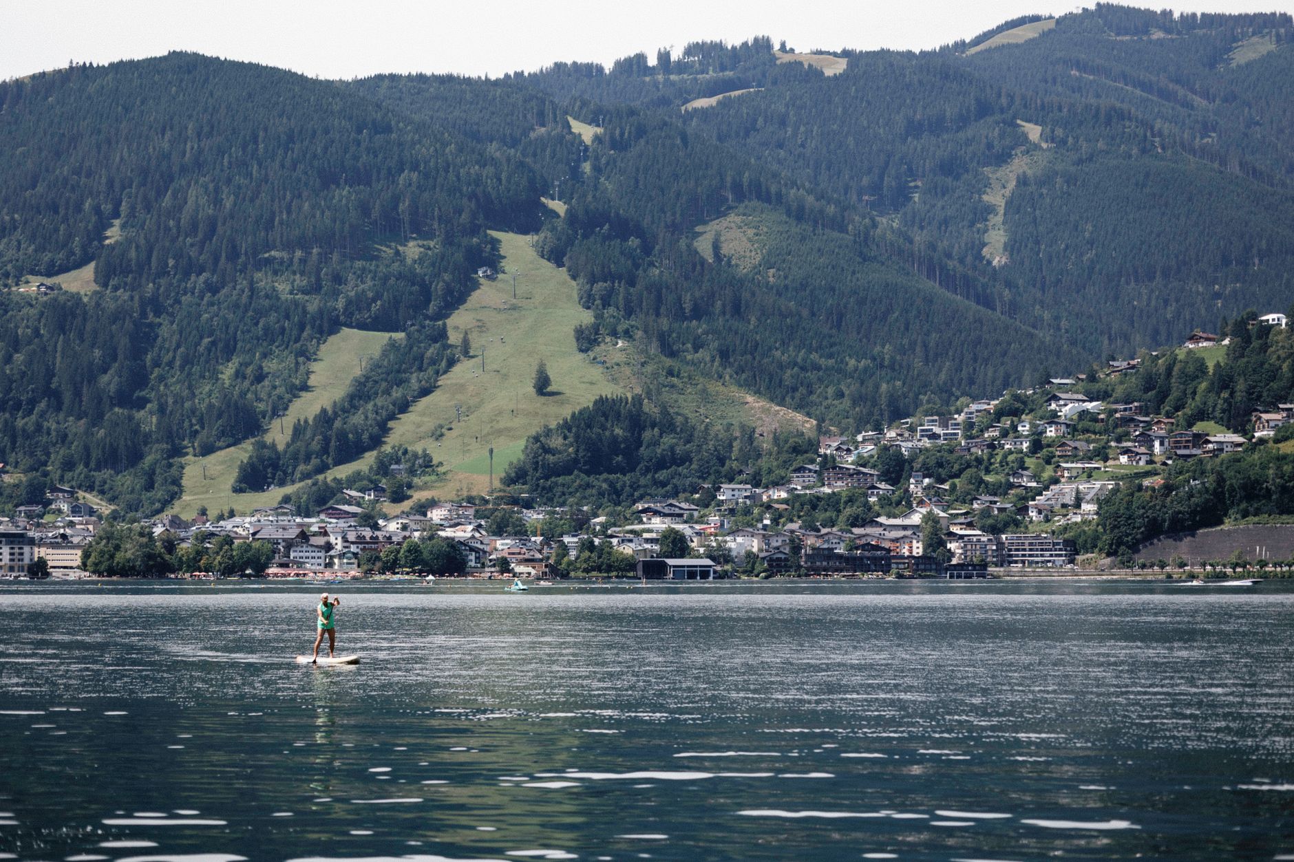
The train from Munich deposits you at a small station with no staff and a fifteen-minute walk to the lake — which is, in its way, a fair introduction to Kochel am See. This is a place that asks a little of you before it gives anything back.
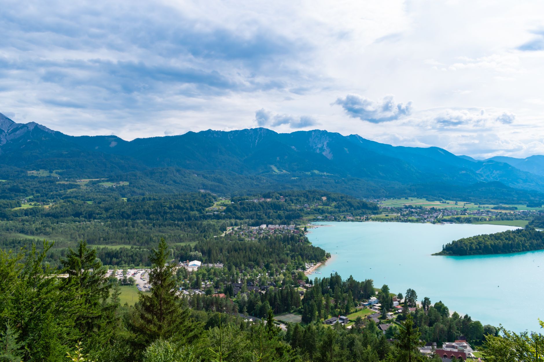
What it gives back: a six-square-kilometre lake ringed by the first serious peaks of the Bavarian Alps, a museum built around the paintings Franz Marc made in the fields nearby, and a 1920s hydroelectric power station that still hums on the ridge above the water. The town itself is compact and unhurried, the kind of place where the infrastructure of tourism exists without the noise of it.
💛 What travellers fall for
People who return tend to time it around the Franz Marc Museum — the 2008 wing changed the hang considerably, and it rewards a second look. The ferry across to Schlehdorf and back is a low-key pleasure most day-trippers skip. The guest card unlocks free local buses, which matters if you plan to walk one way and ride the other.
Deals in Kochel am See
Book directly at the provider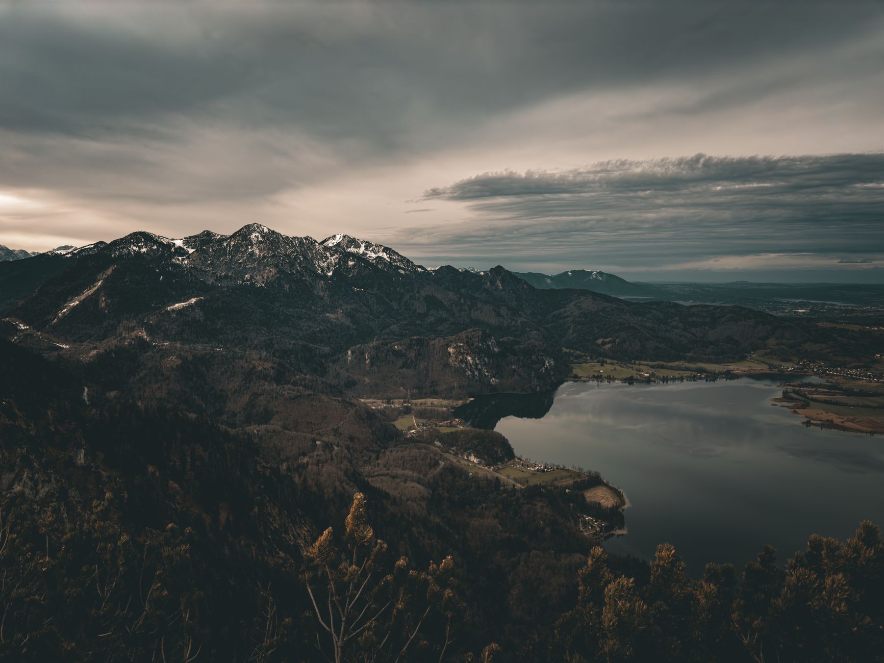
How Kochel am See came to be
The name goes back to Old High German — 'cochila,' meaning mountain top — and the settlement appears in records as early as the 8th century as 'Cochalon.' A convent on the site was destroyed by Hungarian invaders; the land eventually passed to Benediktbeuren Abbey, founded in 739 AD, which still stands nearby. The Kesselberg trading route over the ridge was formalised with a proper road in the 15th century, connecting the valley to wider commerce.
Mineral springs discovered in 1860 briefly made Kochel a spa destination — Bad Kochel opened in 1861 — but the springs dried up around 1920. By then the Munich train line had already arrived, and the town's future was tied to a different kind of visitor. The Walchensee hydroelectric station, one of the largest of its kind when it opened in 1923, rewired the landscape again, this time literally.
Who and what shaped it
People who shaped it
Landmark buildings
See Kochel am See in motion
Plan your visit
On the map
When to go
Summers are comfortable but genuinely wet — July is the warmest month at around 17°C, and June and July each bring rain on roughly nineteen days. Winters are cold and snowy, with January averaging around -3°C; the snow-covered Alps are striking, but check that the museum and ferry are running before you plan around them.
Right now
Background & history adapted from Wikipedia (CC BY-SA) · specs from Wikidata (CC0) · weather from Open-Meteo · map data © OpenStreetMap contributors · photos from Wikimedia Commons / Unsplash with per-image credit. No third-party reviews or social posts reproduced.