
Atacama Desert
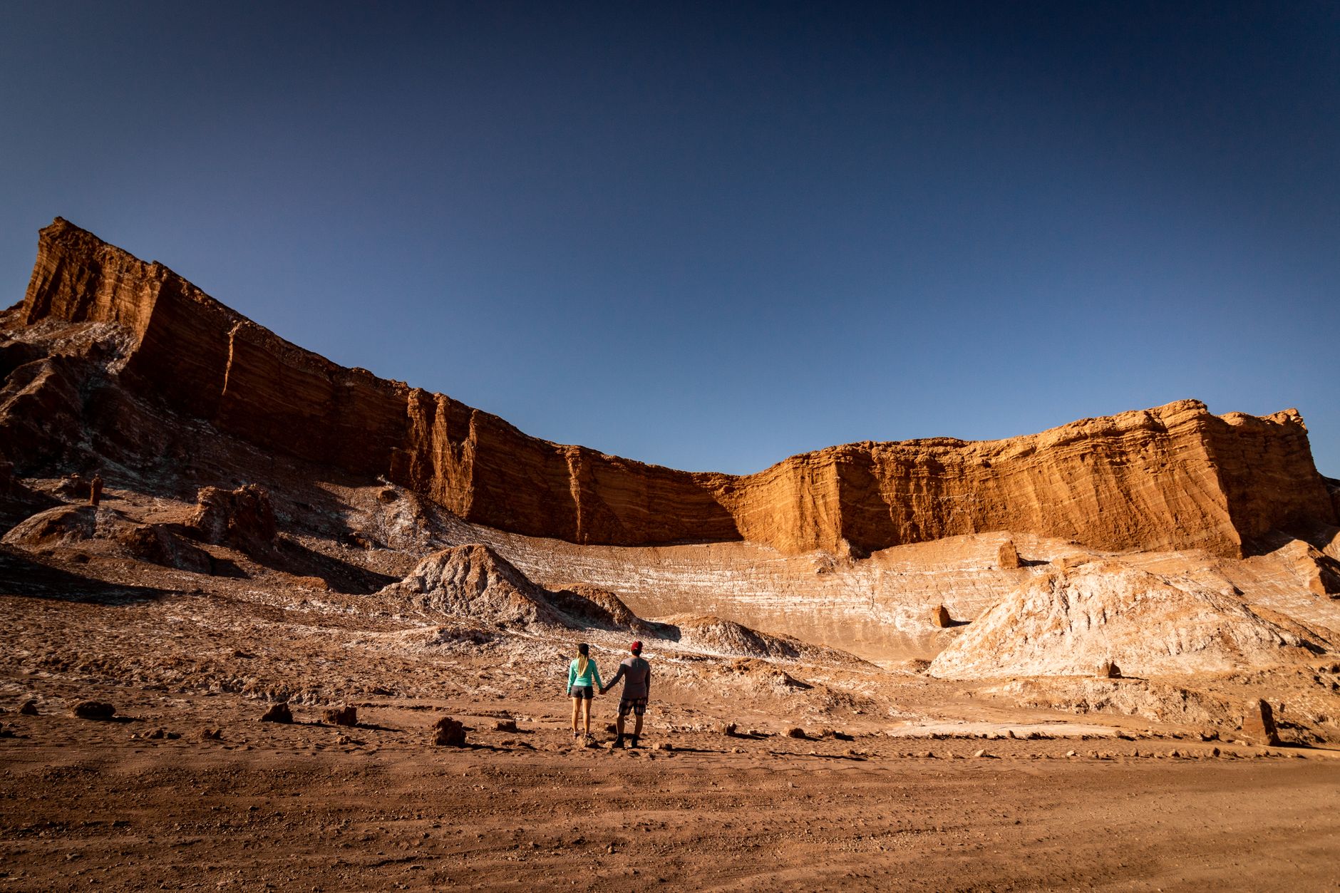
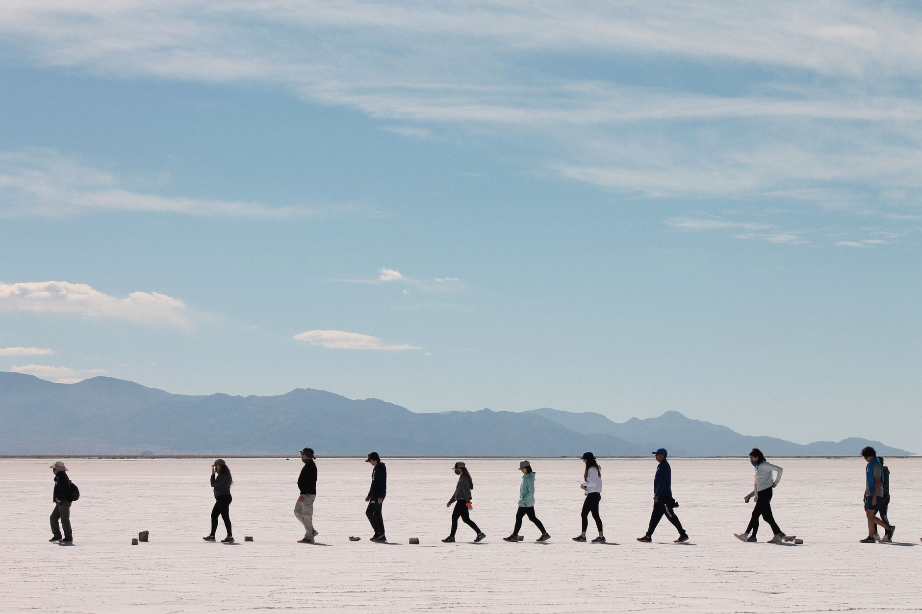
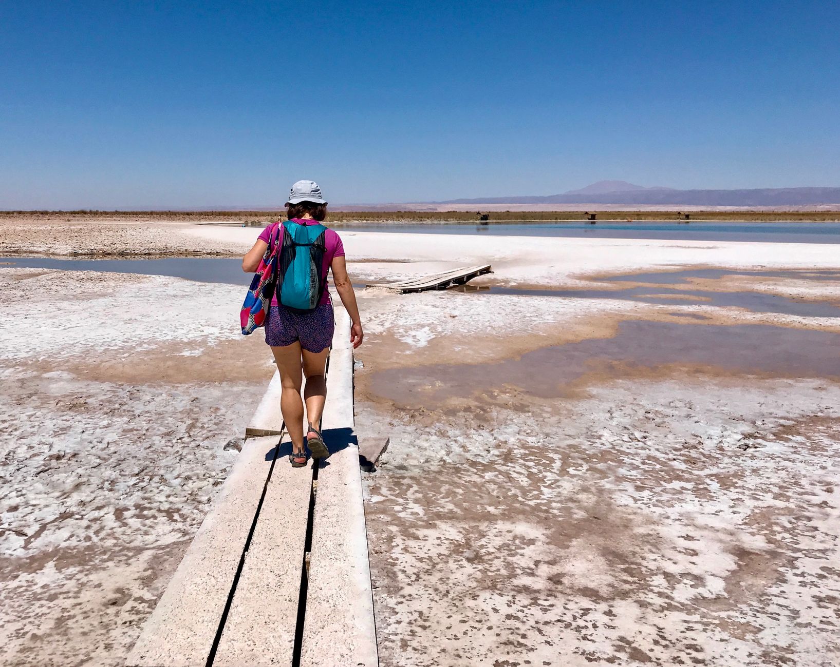
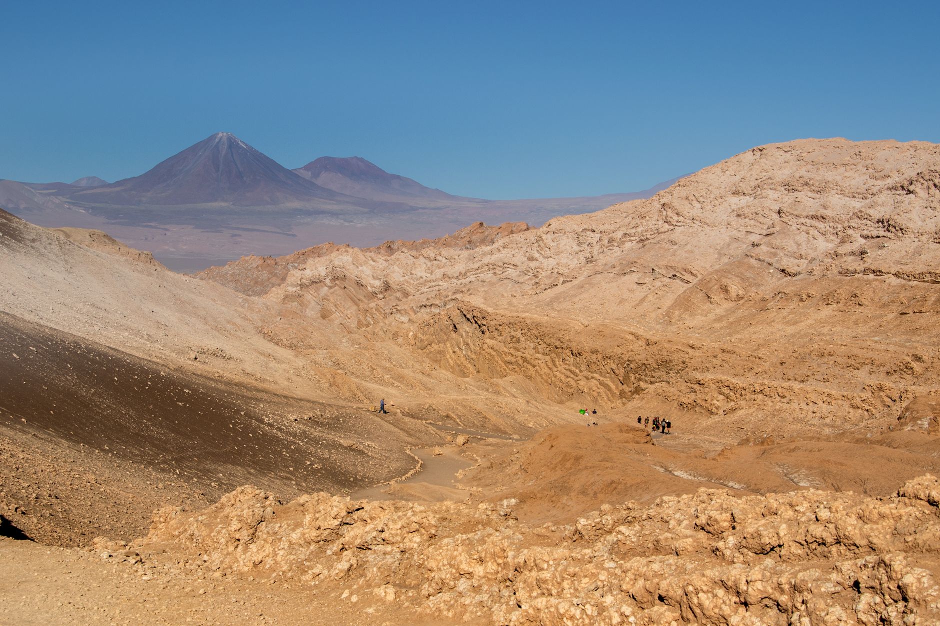
The Atacama is the driest non-polar desert on earth, and that fact reshapes everything you think you know about landscape. Salt flats stretch ninety kilometres across the basin floor. Geysers erupt at dawn from a plateau sitting higher than most Alpine peaks. At night, with almost no moisture to scatter the light, the sky fills so completely with stars that the horizon becomes a secondary concern.
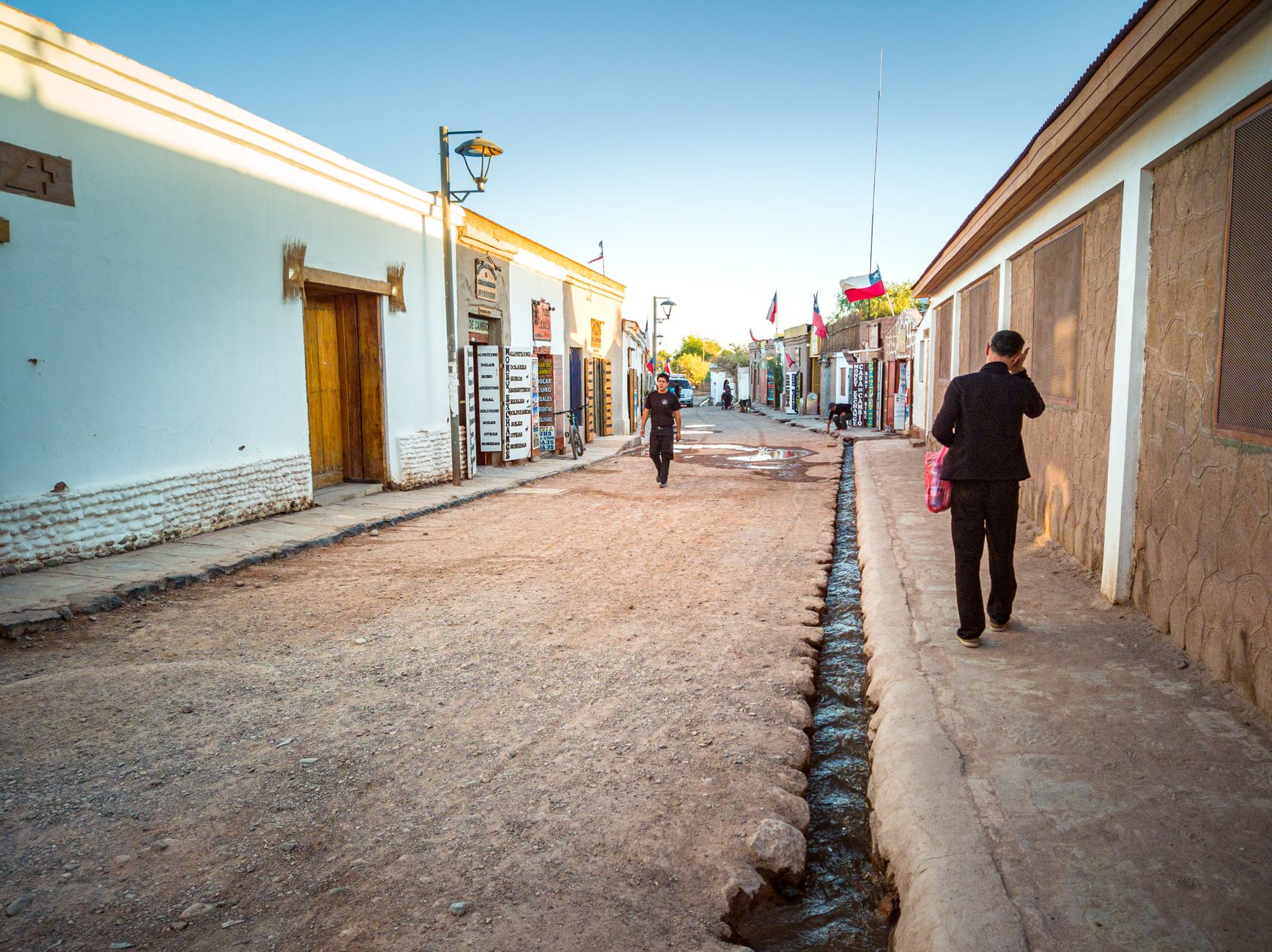
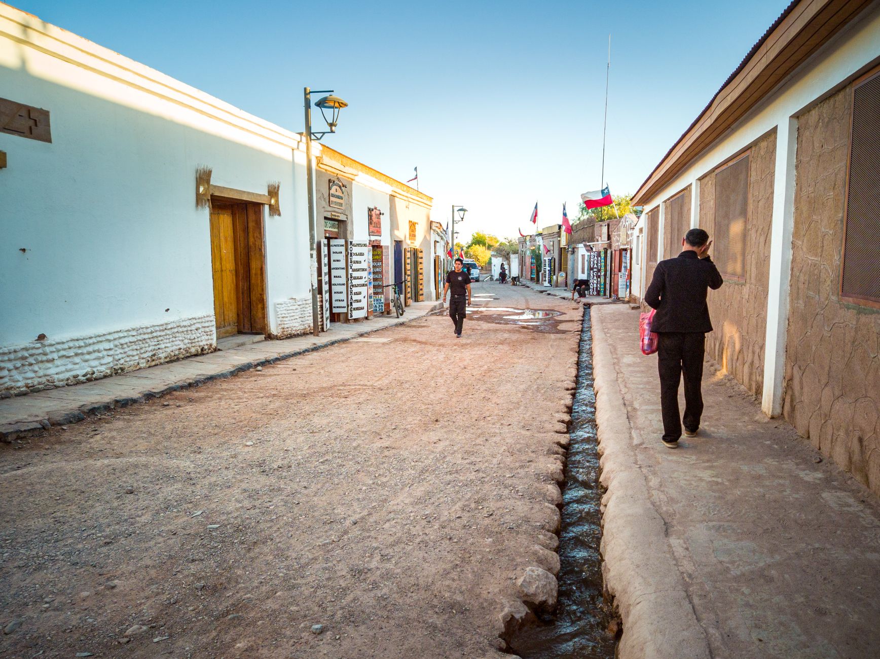
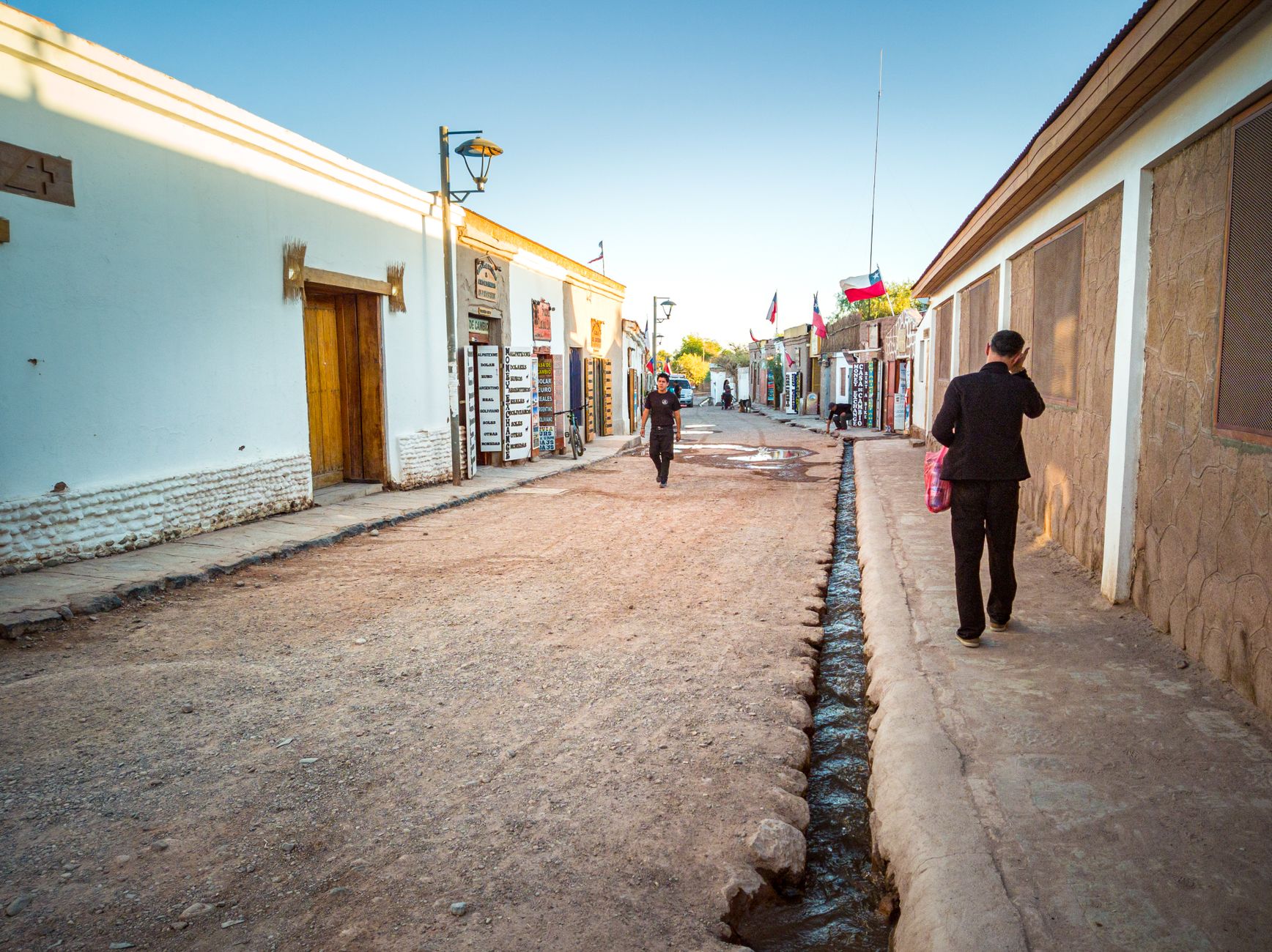
San Pedro de Atacama — a town of ten thousand people on unpaved streets — is your only real base, and it turns out to be enough. From there, nearly everything unfolds within a few hours: ancient petroglyphs, flamingo lagoons, red rock formations edging turquoise water, and one of the world's great radio telescope arrays.
Popular cities in Atacama Desert
How Atacama Desert came to be
People have lived here for at least 12,800 years. The Atacameño, whose roots trace to around 500 BC, built fortified hilltop towns called pucarás across the arid interior — Pukara de Quitor, three kilometres from San Pedro, is one that survives. The Chinchorro, an earlier coastal culture, developed some of the ancient world's most elaborate mummification practices. The Inca came later, then the Spanish, who raised San Pedro's church in 1577, one of the oldest still standing in Chile.
The region's modern shape was hammered out by the War of the Pacific (1879–1883), after which Chile claimed the Atacama. Nitrate mining followed, bringing railways and, for a time, enough revenue to account for half of Chile's exports — until Germany synthesised a substitute and the boom collapsed. In 1993, Chile formally recognised the Atacameño as one of nine indigenous peoples of the country.
Who and what shaped it
Landmark buildings
See Atacama Desert in motion
Plan your visit
On the map
When to go
The Atacama is dry year-round, but temperatures swing hard between day and night — warm afternoons can give way to near-freezing evenings, especially at altitude. Summer (December–February) brings the 'Bolivian winter,' with afternoon thunderstorms at high elevation; June through August is colder and clearer, and generally the better season for stargazing.
Right now
↡ Cities
Background & history adapted from Wikipedia (CC BY-SA) · specs from Wikidata (CC0) · weather from Open-Meteo · map data © OpenStreetMap contributors · photos from Wikimedia Commons / Unsplash with per-image credit. No third-party reviews or social posts reproduced.