
San Pedro de Atacama
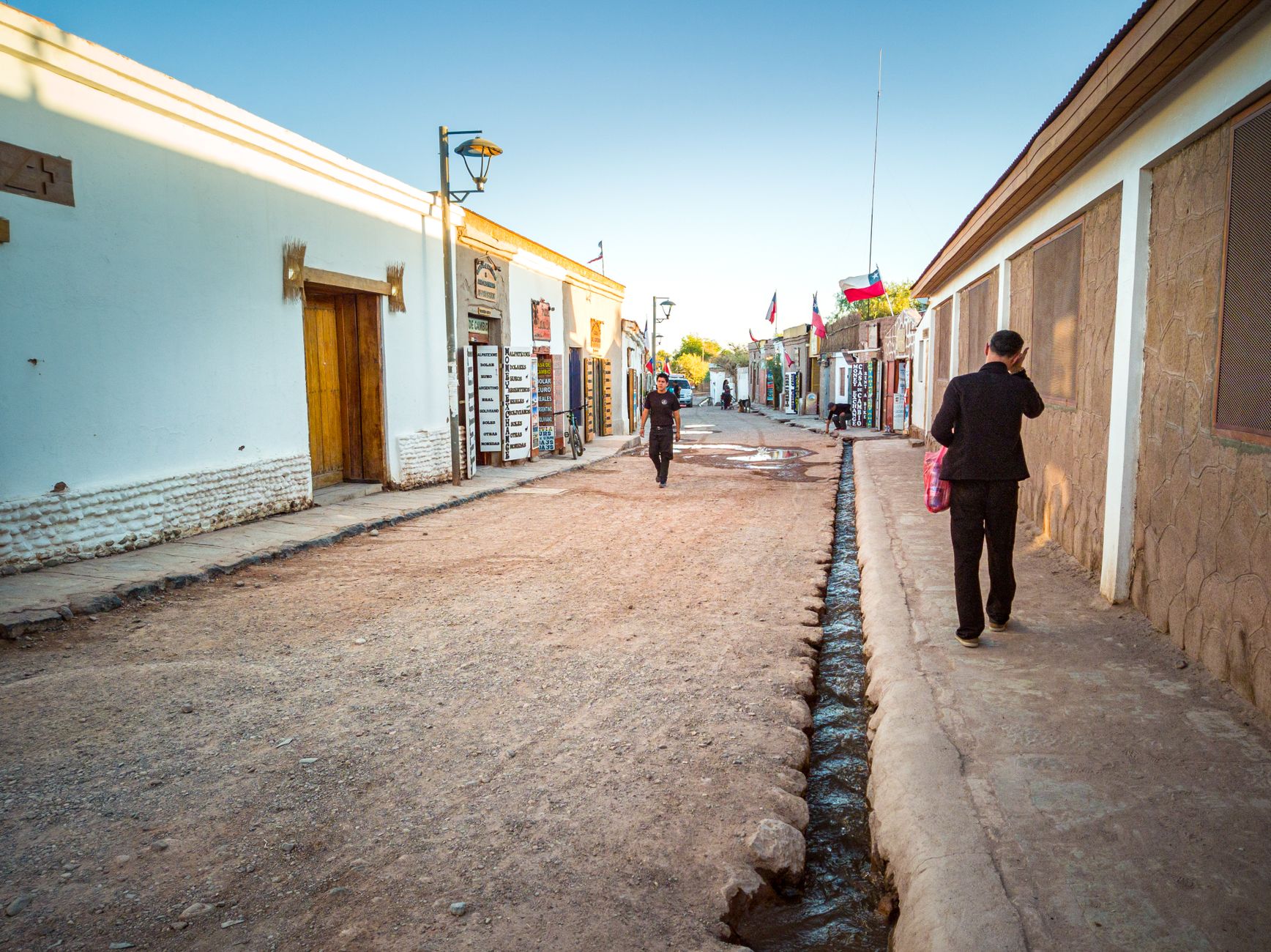
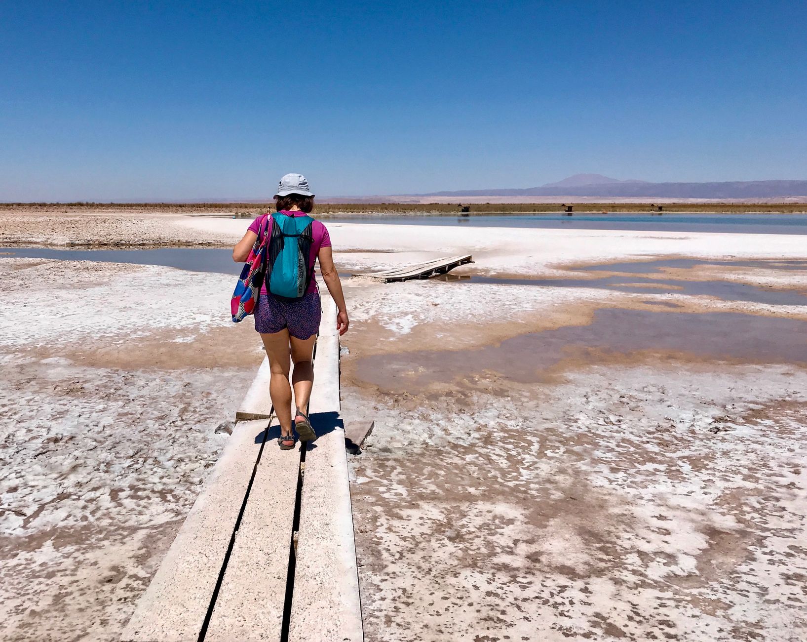
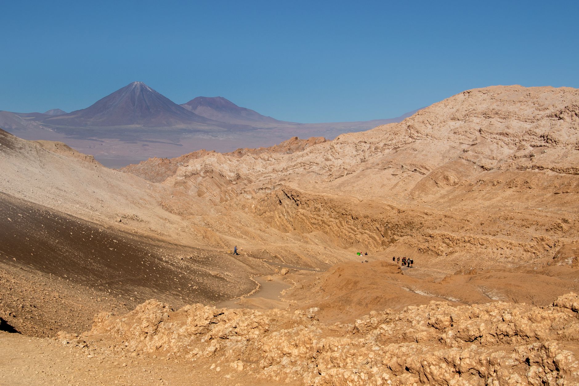
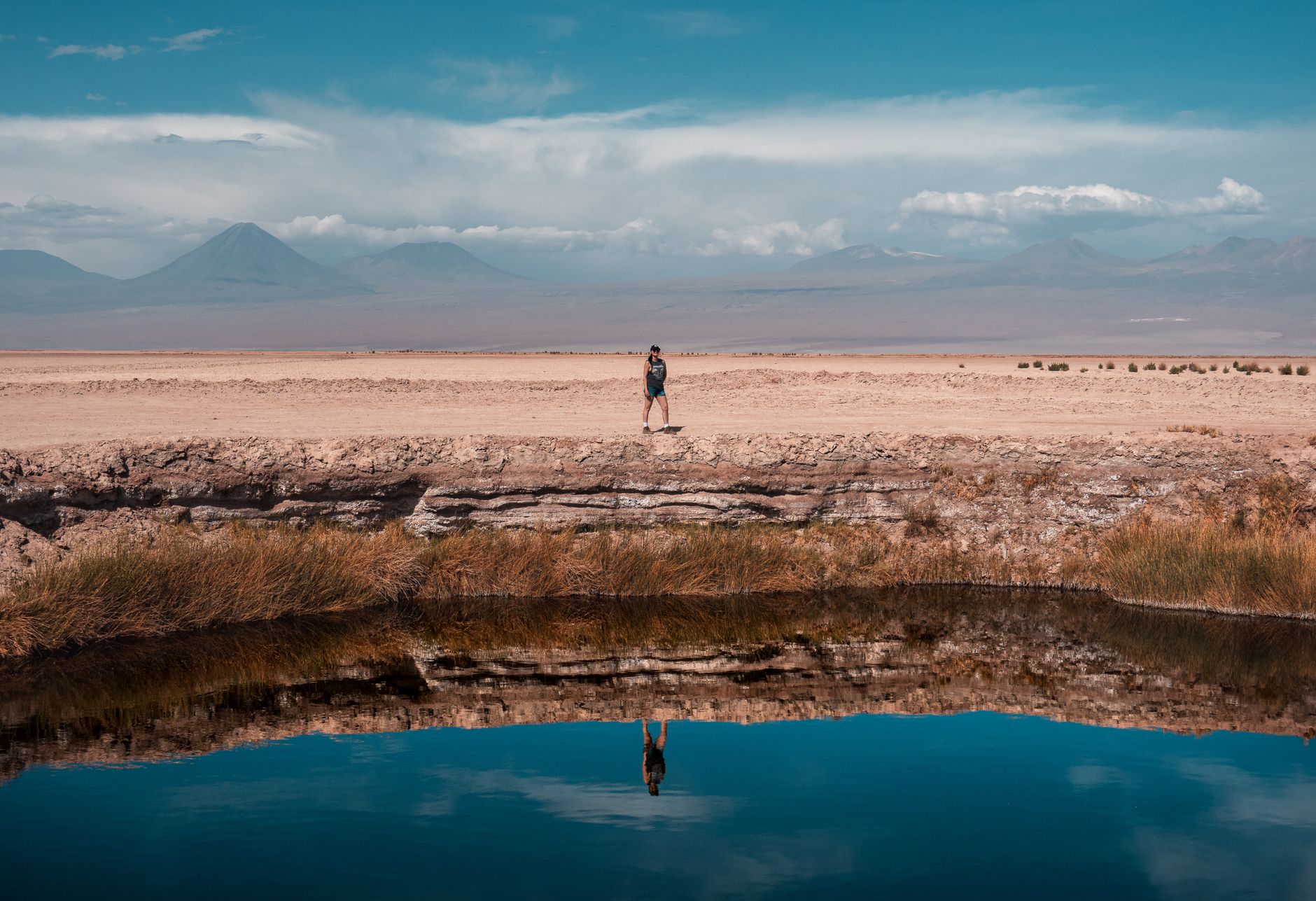
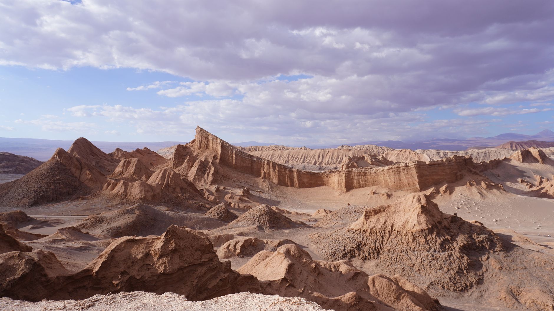
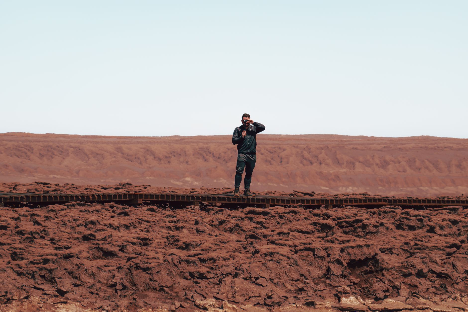
San Pedro de Atacama sits at 2,400 metres in one of the driest places on earth, where the annual rainfall barely reaches 45 millimetres and the stars at night are almost aggressive in their clarity. The town itself — a compact grid of adobe walls and a single main commercial street, Caracoles — is less the destination than the staging post. What you come for is outside: salt flats, volcanoes, geysers, and a landscape so stripped of moisture that the light behaves differently here.
The church on the Plaza de Armas tells you how long people have been holding on in this environment. Its walls of stone and adobe date to 1744, its roof framed in chahar and algarrobo wood, the ceiling laid with cactus boards packed in mud and straw — every material sourced from whatever the desert allowed.
💛 What travellers fall for
People who come back tend to mention the same thing: the cold. Summer days can push 30°C, but nights drop to 10°C even then, and in winter the temperature falls well below freezing after dark. Bring more layers than seems reasonable. And give yourself a slow first day — the altitude earns its reputation.
Deals in San Pedro de Atacama
Book directly at the provider

How San Pedro de Atacama came to be
People have lived around what is now San Pedro de Atacama for roughly 12,000 years. By 300 B.C., the village of Aldea de Tulor had taken shape nearby, and between 100 and 500 A.D. the area went through a period of economic growth and rising population. Tiwanaku influence reached the region around 1000 A.D., followed by the Inca Empire between 1450 and 1550. The Spanish arrived with force: in 1540, conquistador Pedro de Valdivia led the attack that captured the Atacameño fortification of Pukará de Quitor, 3 km north of town.
The first church went up in 1577; the structure standing today largely dates to 1744, with the bell tower added in 1890. When Atacama Province was created in 1829, San Pedro lost its regional capital status to the coastal port of Cobija. The R.P. Gustavo Le Paige Archaeological Museum, inaugurated in 1963, now holds the material record of those layered millennia.
Who and what shaped it
People who shaped it
Landmark buildings
See San Pedro de Atacama in motion
Plan your visit
On the map
When to go
Summer days (December–February) are warm, around 25–30°C, but nights cool sharply to roughly 10°C, and January and February can bring rain. Winter days are mild — 18–25°C — but nights routinely drop below freezing, sometimes to −10°C, so pack accordingly.
Right now
Background & history adapted from Wikipedia (CC BY-SA) · specs from Wikidata (CC0) · weather from Open-Meteo · map data © OpenStreetMap contributors · photos from Wikimedia Commons / Unsplash with per-image credit. No third-party reviews or social posts reproduced.