
Calama
Calama sits in the Atacama at roughly 2,260 metres, a working city whose existence has always been justified by what lies beneath the ground around it. The Loa River — the longest in Chile — cuts through its eastern edge, and for centuries that water made an oasis possible in one of the driest places on Earth, receiving on average just 5 mm of rain a year.
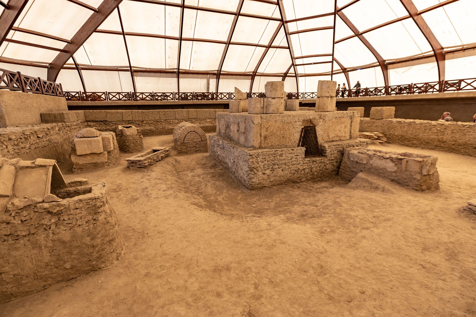
The city is a base, frankly, and it wears that role without apology. Chuquicamata, the vast open-pit copper mine that effectively built modern Calama, looms to the north. The centre is compact and walkable, the cathedral on Plaza 23 de Marzo is unexpectedly contemporary, and the Archaeological Museum in El Loa Park holds the indigenous history that the mine's shadow tends to obscure.
💛 What travellers fall for
People who come back tend to land late, sleep near the plaza, and spend the first morning at the Museo del Cobre y la Minería before the coach groups arrive. The old photographs there do more to explain Calama than any viewpoint of the pit. Evenings catch you off guard — pack a layer even in January, because the temperature drops hard once the sun goes.
Experiences you don't want to miss



Deals in Calama
Book directly at the provider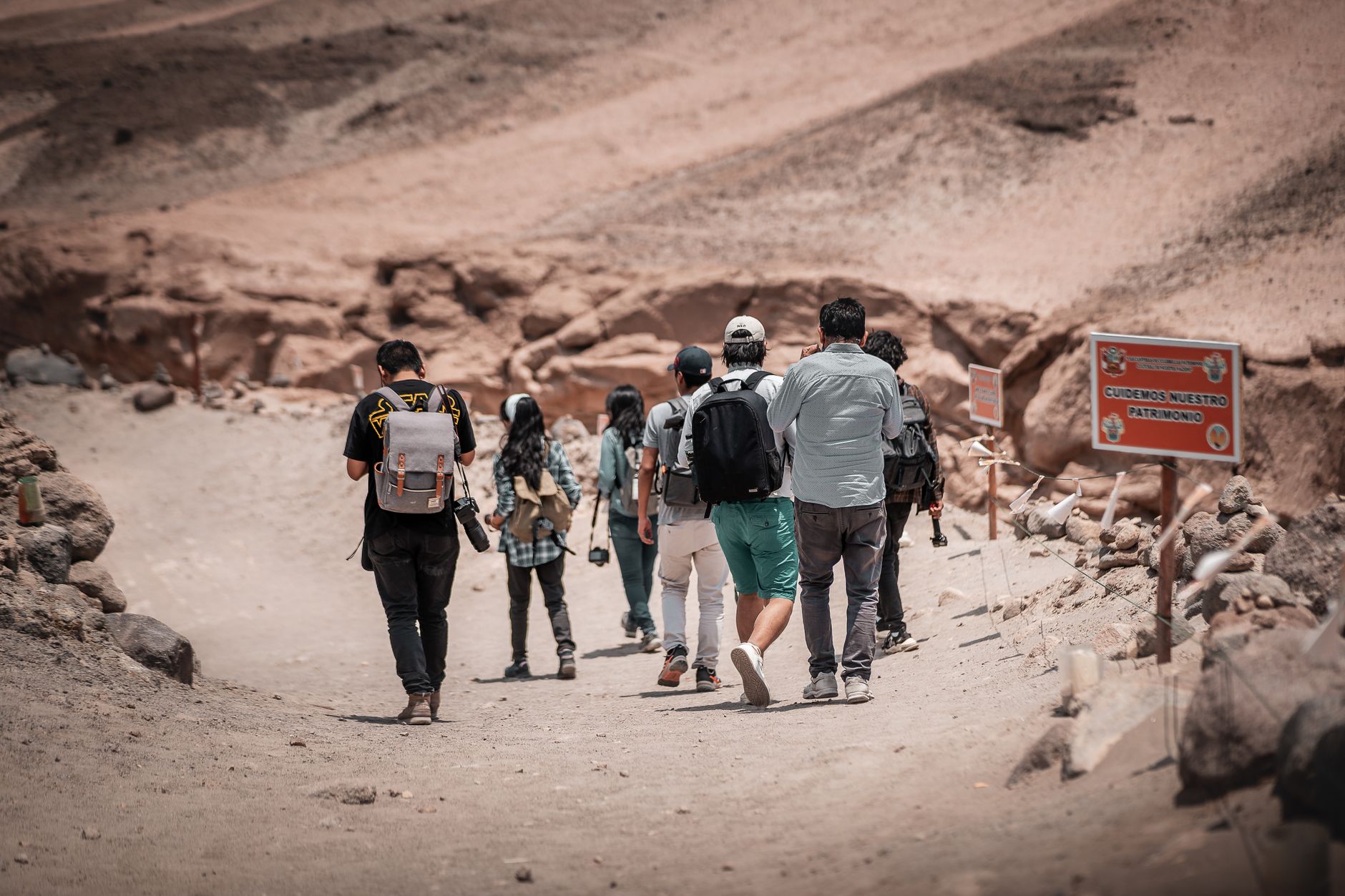

How Calama came to be
Long before Spanish contact, Calama sat at a crossroads of Inca roads — the route from Cobija to Potosí intersecting the road from Arequipa to Copiapó — which made it a waypoint rather than a destination. Diego de Almagro passed through and found a sparse settlement. By the 18th century it appeared on Chilean maps as a dependency of Copiapó, and in 1840 the provincial capital shifted here from Chiuchiu, nudging the town toward administrative relevance.
The Pacific War arrived on 23 March 1879, when Chilean troops occupied the town after its first engagement with Bolivian forces — a date now carried by the central plaza. The Antofagasta-Bolivia Railway chose Calama for a station in 1886, accelerating trade, and when copper extraction began at Chuquicamata in 1911 the city's trajectory was fixed. A 1955 earthquake levelled much of it; rebuilding tripled the urban footprint. Between 2003 and 2007, the company town of Chuquicamata was dismantled and its residents relocated here, folding the mine's community permanently into Calama.
Who and what shaped it
Landmark buildings
See Calama in motion
Plan your visit
On the map
When to go
Days are mild to warm year-round — summer highs around 23°C, winter days still reaching 19°C — but the desert swings hard between sun and dark: expect a drop of 15 to 17 degrees every night, so a proper jacket belongs in your bag whatever the season. March through May is the most comfortable window, dry and settled, though the rare summer cloudiness of the 'Bolivian Winter' in January and February is rarely more than a passing grey.
Right now
Background & history adapted from Wikipedia (CC BY-SA) · specs from Wikidata (CC0) · weather from Open-Meteo · map data © OpenStreetMap contributors · photos from Wikimedia Commons / Unsplash with per-image credit. No third-party reviews or social posts reproduced.