
Chañaral
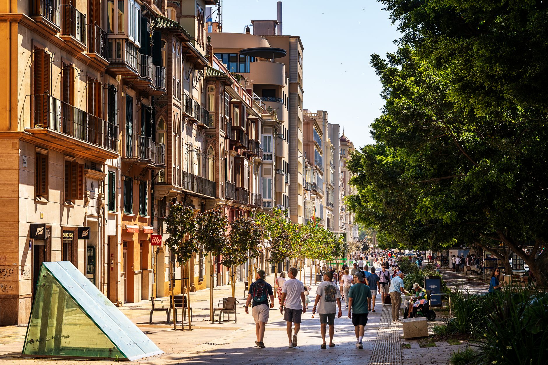
Chañaral sits at the edge of the Atacama on a stretch of coast where the Pacific runs a faint turquoise-green from a century and a half of copper runoff. Most travellers pass straight through on the Pan-American Highway heading for San Pedro, which means the narrow streets around Calle Merino Jarpa belong mostly to the people who live here.
The town has no high-rises. At night, a copper-clad lighthouse on the arid hills above sends its beam across the rooftops. The Iglesia Nuestra Señora del Carmen — walls of Oregon pine and Guayaquil cane, plastered with mud, lime, and sand — has been standing since 1864. Chañaral is a working port town that has survived earthquakes, tsunamis, a catastrophic 2015 flood, and the long booms and silences of the mining trade.
💛 What travellers fall for
People who stop here rather than just refuel tend to mention the same things: the seafood restaurants on the north side of the highway are worth the slight detour, the Museo de Chañaral's petroglyph rock from the Chango Culture is genuinely striking up close, and Pan de Azúcar National Park is just a short drive north if you have a morning free.
Deals in Chañaral
Book directly at the provider

How Chañaral came to be
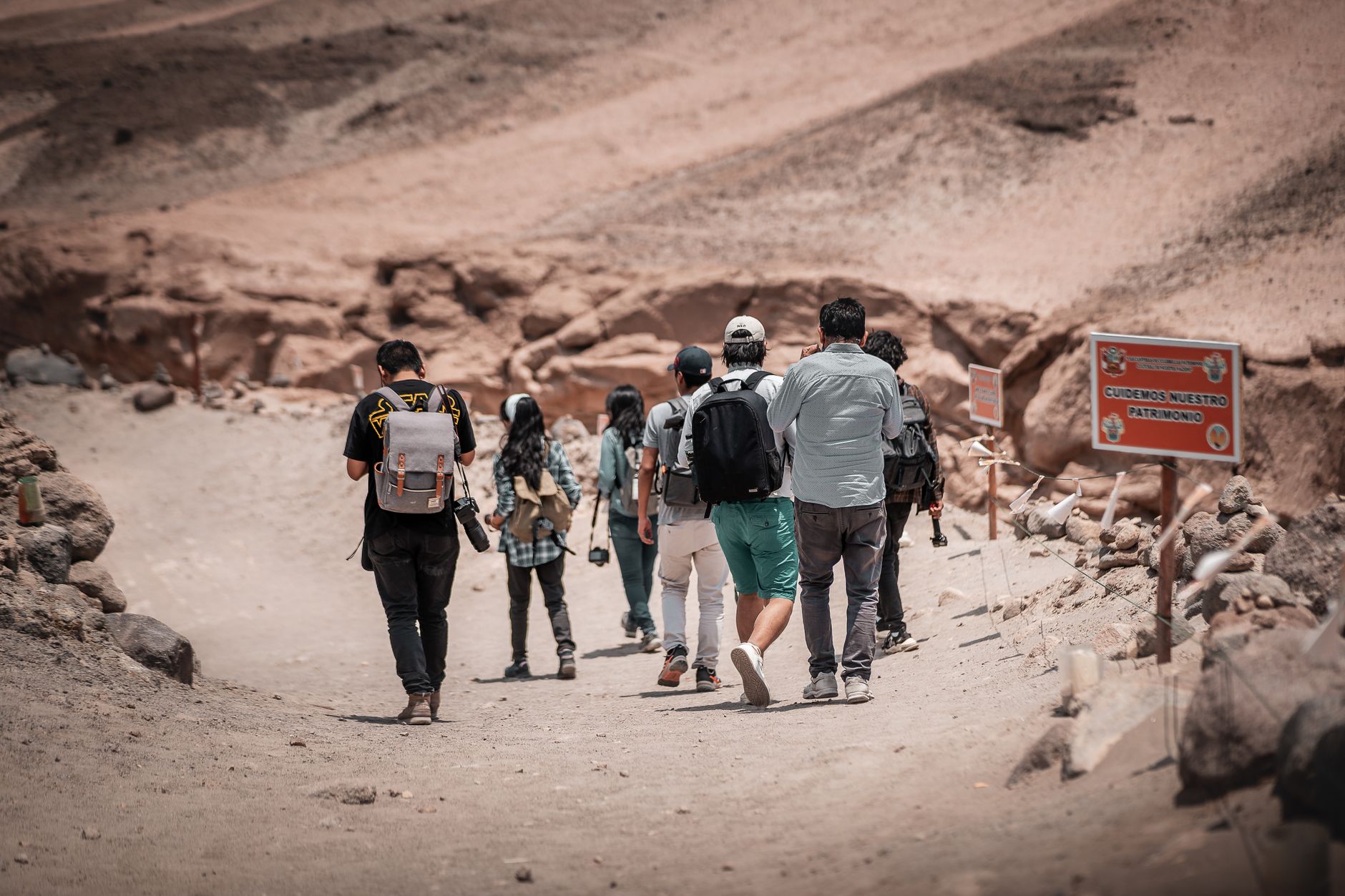
Copper was discovered near Chañaral in 1824, and the town was formally founded on October 26, 1833, under the name Chañaral de las Ánimas — Field of the Souls. A port of embarkation for the ore followed in 1836, and by 1860 the Edwards Foundry was operating with six reverberatory furnaces, later absorbed by the Smelting Company. A railroad eventually linked port to mine, and for the better part of a century Chañaral ran on copper wealth.
That prosperity was interrupted repeatedly by disaster. A 1922 earthquake and tsunami required the then-governor Roberto Carmona to oversee a full rebuilding of the town. Then in 2015, an alluvium tore through a large part of Chañaral again, leaving the refurbished church and the Casa Molina — a historic monument since 1977, built in 1904 by port notary Pedro Clares Peña — among the markers of what the town keeps choosing to rebuild.
Who and what shaped it
People who shaped it
Landmark buildings
See Chañaral in motion
Plan your visit
On the map
When to go
The climate is warm and almost entirely dry year-round — under a millimetre of rain annually — with average highs around 23°C in January and February, dropping to a mild 16°C in the June–July winter. Coastal fog rolls in regularly, softening the light on the hills.
Right now
Background & history adapted from Wikipedia (CC BY-SA) · specs from Wikidata (CC0) · weather from Open-Meteo · map data © OpenStreetMap contributors · photos from Wikimedia Commons / Unsplash with per-image credit. No third-party reviews or social posts reproduced.