
Mejillones
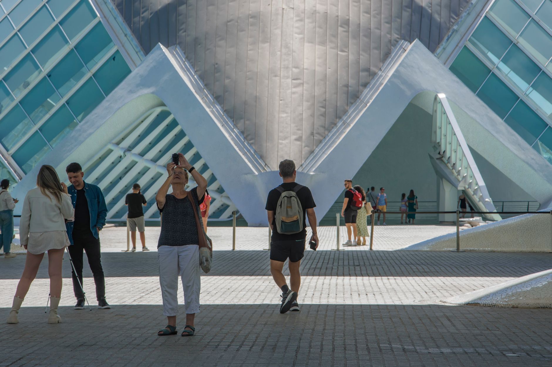
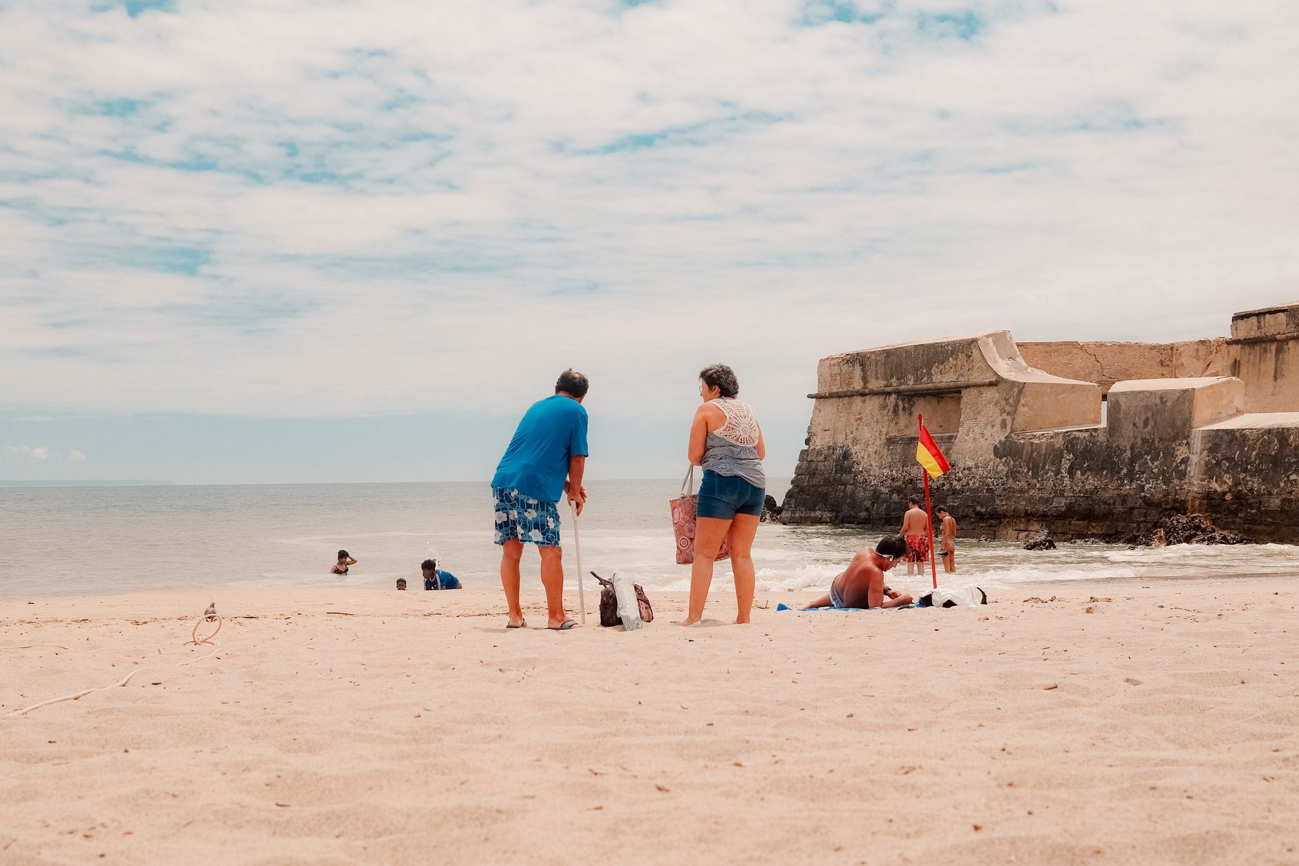
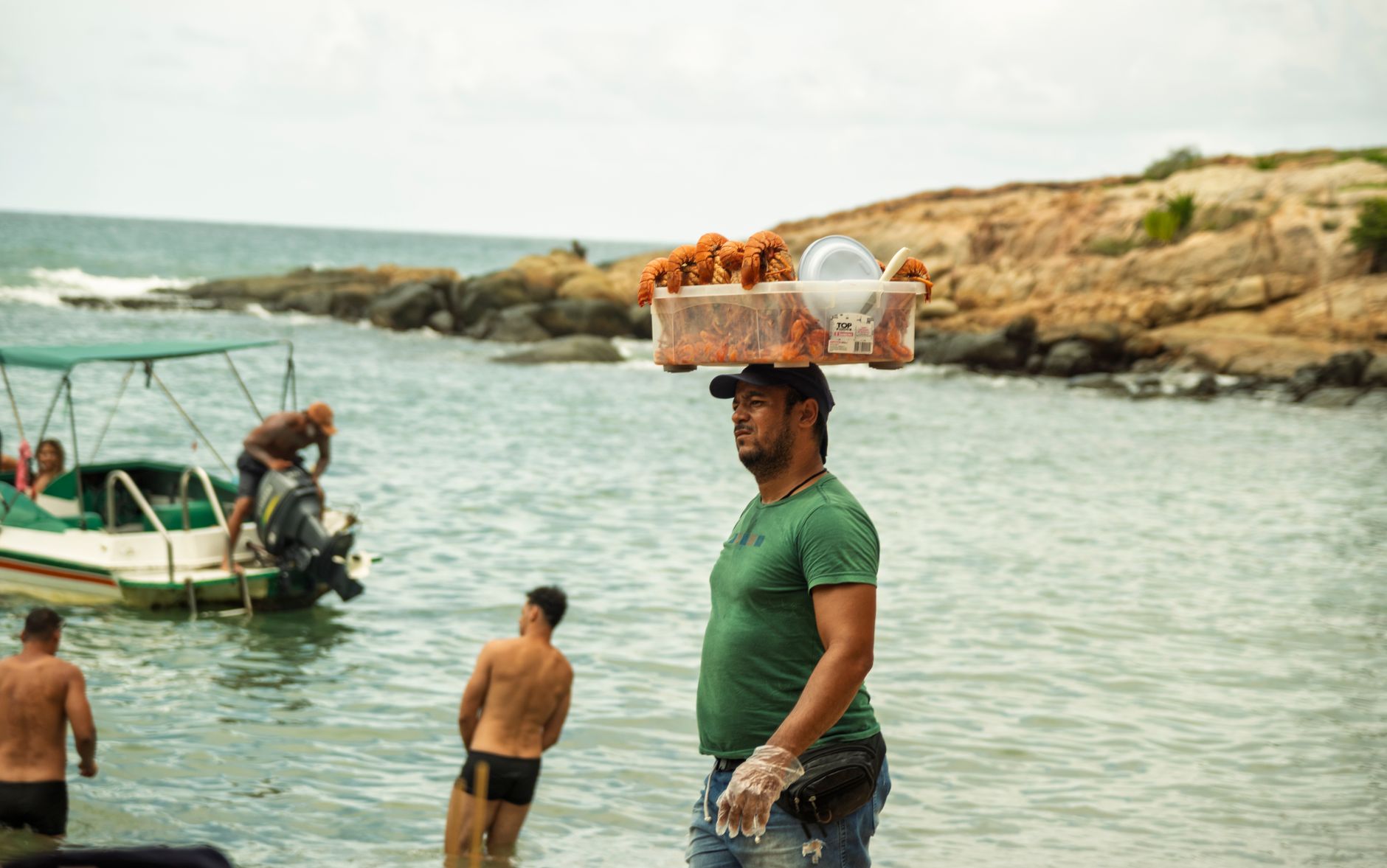
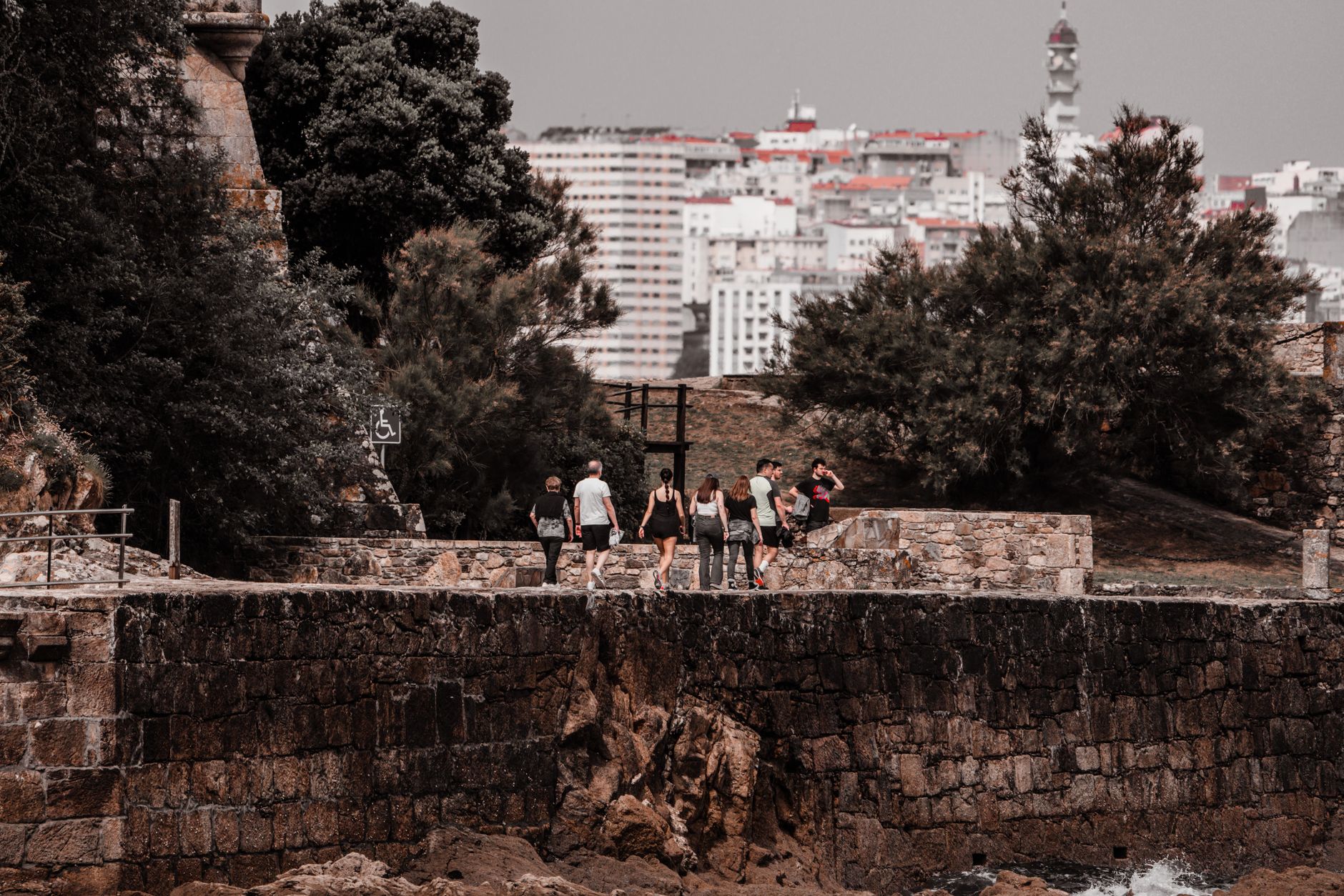
Mejillones sits on the northern tip of its peninsula where the Atacama meets the Pacific — a town whose name is simply the Spanish plural for mussels, and whose bones are those of a port that has been fought over, planned on paper, and rebuilt more than once. The red-painted heritage buildings along the waterfront — the municipality, the maritime government office, the library — give the centre an unlikely coherence for a place this small.
Eight cargo terminals handle more than seven percent of Chile's annual external trade tonnage, which means the harbour is serious business even if the town itself moves slowly. The beach is popular, the desert presses in from the east, and the light in the months before Christmas runs to twelve hours a day.
💛 What travellers fall for
People who come back tend to mention the Capitanía de Puerto — the old harbour-master building — and the local museum, which carries the material history of guano mining and the border disputes that shaped the whole region. The walk along the waterfront at dusk, when the cargo terminals are lit and the wind drops, is the thing most worth saving time for.
Deals in Mejillones
Book directly at the provider

How Mejillones came to be
The Chango people were here before anyone drew a border, and it was a Chango man — Juan López, contracted by French businessmen in the late 1830s — who began mining the guano deposits that made the bay worth arguing over. Bolivia built a small fort in 1845 and formally founded the town on Christmas Eve 1862, but the boundary between Chilean and Bolivian territory remained contested until the treaty of 1866.
The town's current street grid dates to February 7, 1906, when President Germán Riesco signed the Foundation Act for a plan of 63 city blocks drawn up by naval engineer Emilio de Vitds. The customs offices jointly financed by Bolivia and Chile to tax mineral and guano exports are part of that layered colonial-industrial story; one of those buildings was eventually moved to Antofagasta, where it now serves as a regional museum.
Who and what shaped it
People who shaped it
Landmark buildings
See Mejillones in motion
Plan your visit
On the map
When to go
The climate is cold desert in classification but mild in practice — daytime temperatures stay between 15°C and 25°C year-round, with almost no rain. Summer brings extreme UV and the most sunshine; winter is cooler and slightly cloudier but rarely uncomfortable.
Right now
Background & history adapted from Wikipedia (CC BY-SA) · specs from Wikidata (CC0) · weather from Open-Meteo · map data © OpenStreetMap contributors · photos from Wikimedia Commons / Unsplash with per-image credit. No third-party reviews or social posts reproduced.