
Pozo Almonte
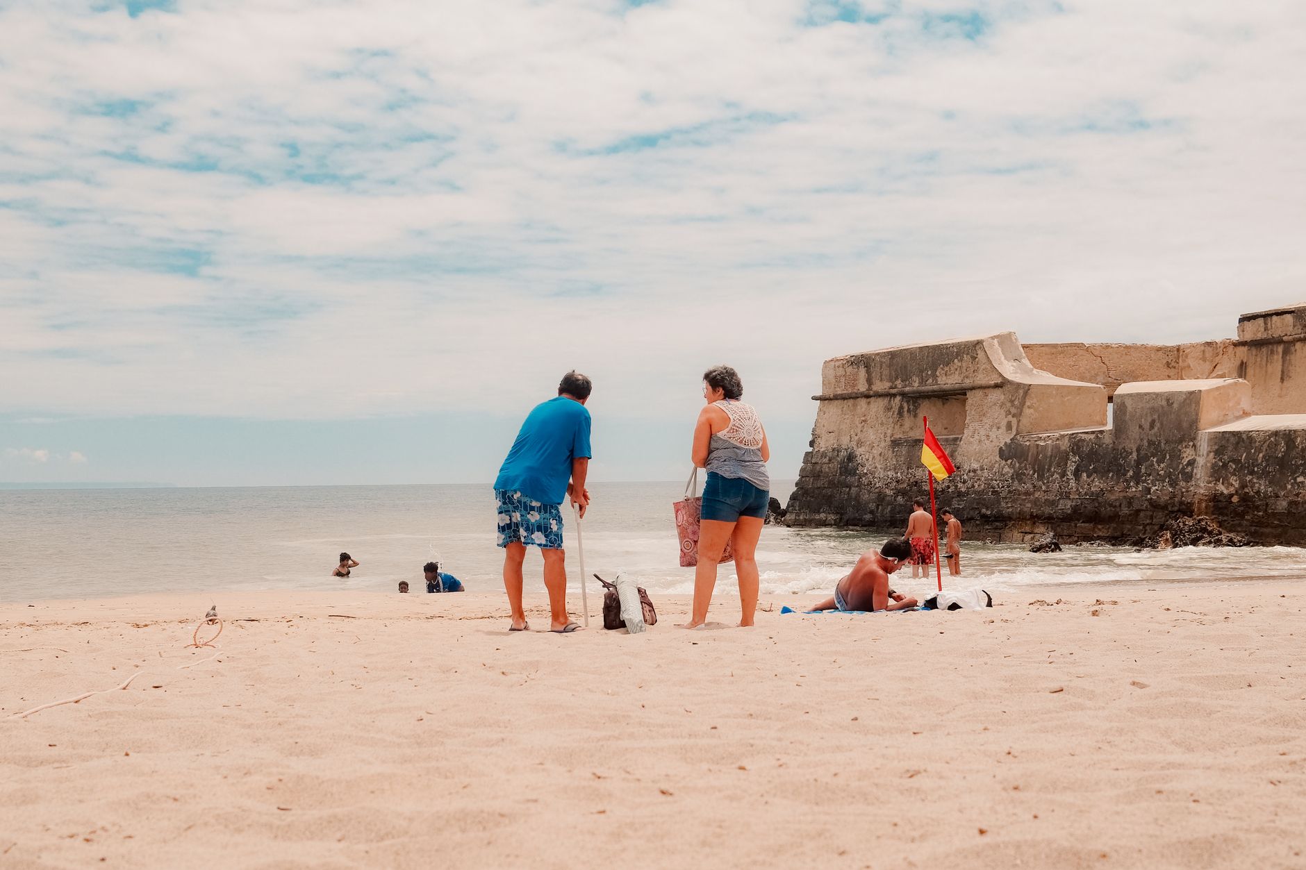
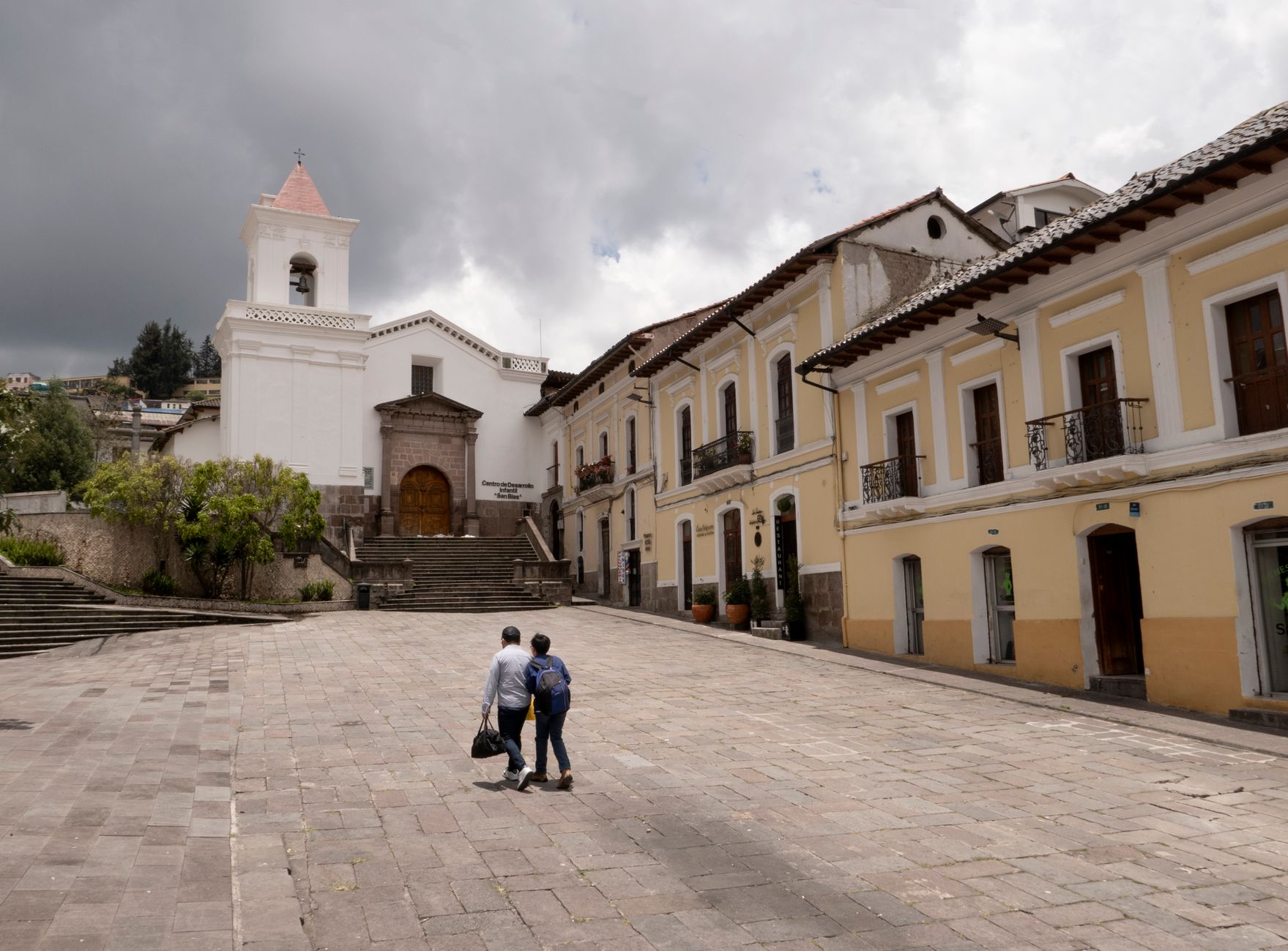
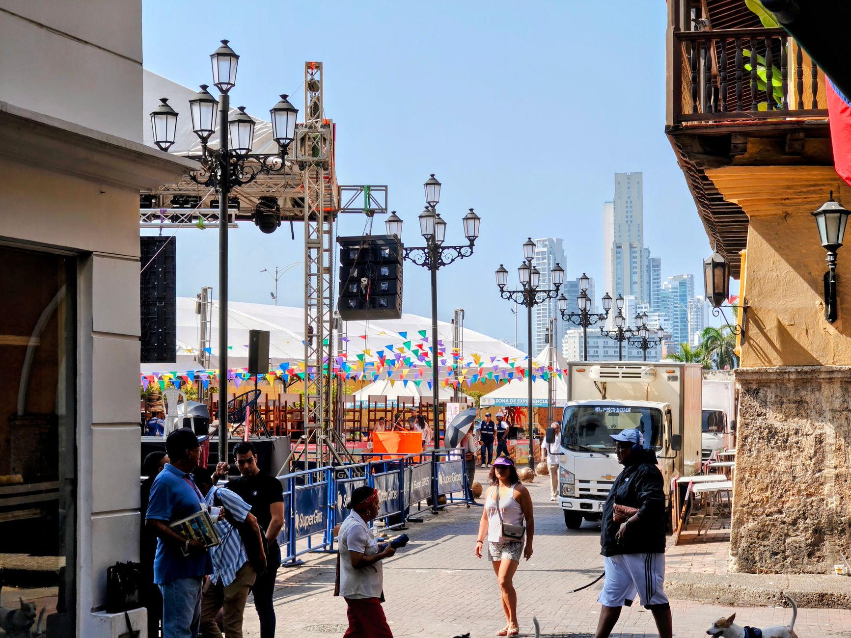
The first thing you notice about Pozo Almonte is the light — flat, unsparing, the kind that makes the adobe walls of the plaza glow ochre at midday and silver at dusk. Sitting at just over a thousand metres on the Pampa del Tamarugal, the town is a working provincial capital, not a set piece, and that's exactly what makes it worth your time.
The streets around the Mercado Municipal fill early with vendors selling regional produce and homemade snacks, and the corridored houses that line the centre give the whole place a layered, lived-in quality. The nitrate era left its mark here — in the museum, in the ruins you can reach by car — but the town itself is very much present tense.
💛 What travellers fall for
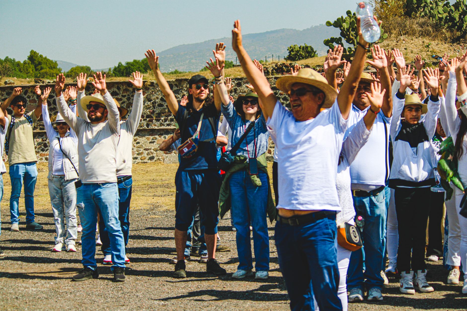
People who return tend to time it around the Festival of the Virgin of Carmen, when the plaza takes on a different register entirely — Catholic ceremony woven through with Andean music and dress. Outside of festival season, regulars suggest arriving early enough to walk the market before the midday heat grounds you indoors.
Deals in Pozo Almonte
Book directly at the provider


How Pozo Almonte came to be
In 1800, a man named Manuel Garrocho de Almonte sank a well here to water the mining operations working the surrounding pampa. That practical act gave the place its name — Pozo de Almonte, first appearing in writing by 1810. The town was formally founded in 1875, by which point the nitrate boom had already made the Atacama one of the most economically contested landscapes on earth.
After Garrocho de Almonte's death, his daughter María Pascuala inherited ownership of the local saltpeter office and married into the Mendizabal family, threading domestic history into the industrial. The commune was officially constituted in December 1927, and in 2007 Pozo Almonte was designated capital of the newly created Tamarugal Province — a recognition that it had long been the practical centre of this stretch of desert.
Who and what shaped it
People who shaped it
Landmark buildings
See Pozo Almonte in motion
Plan your visit
On the map
When to go
The climate is desert through and through: almost no rain across the year, warm days peaking around 25°C in January and cooling to highs near 20°C in June, with cold nights dropping to 8°C in winter. April through September brings the most comfortable temperatures and the clearest skies.
Right now
Background & history adapted from Wikipedia (CC BY-SA) · specs from Wikidata (CC0) · weather from Open-Meteo · map data © OpenStreetMap contributors · photos from Wikimedia Commons / Unsplash with per-image credit. No third-party reviews or social posts reproduced.