
Amsterdam Metropolitan Area, Netherlands
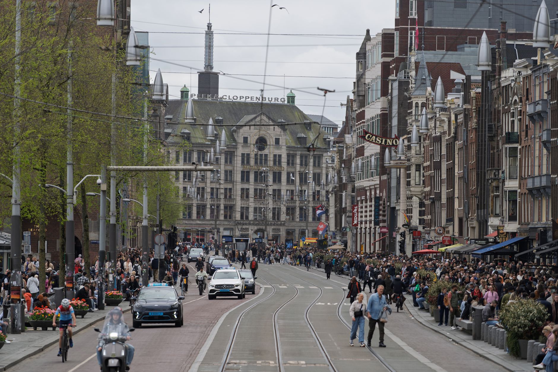
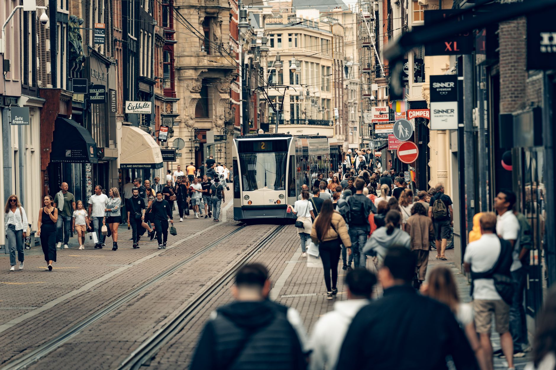
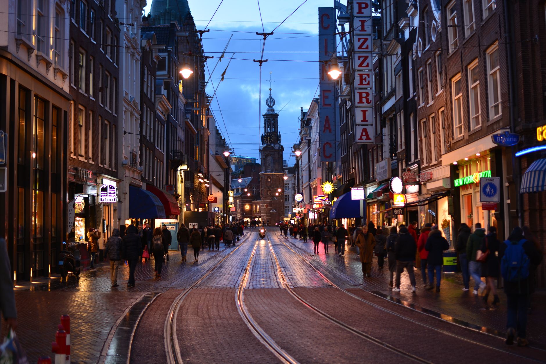
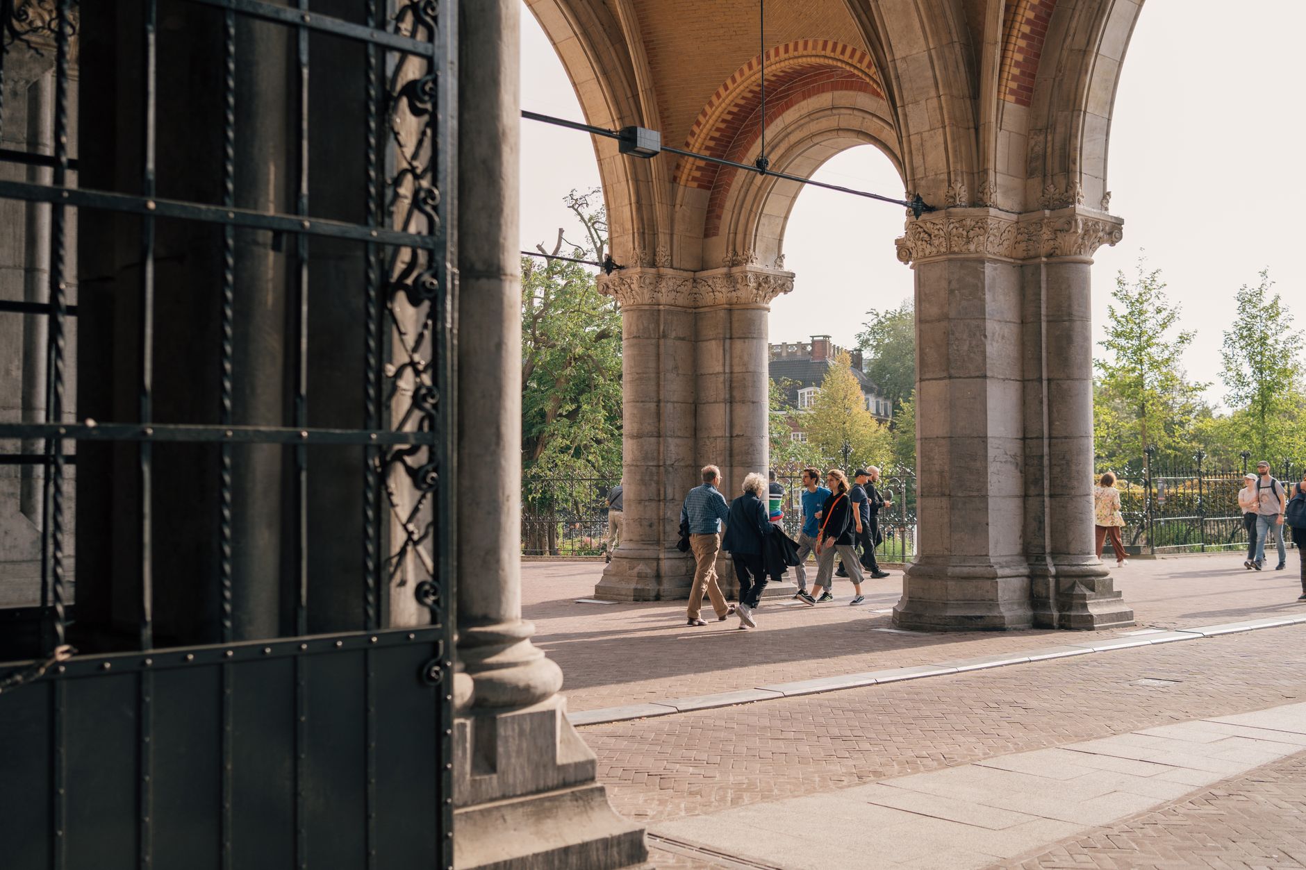
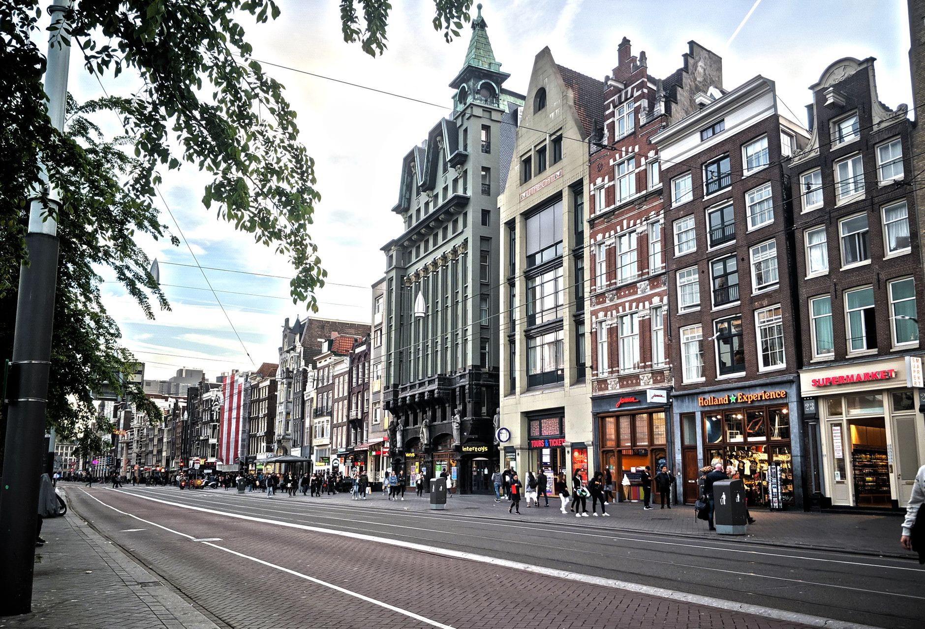
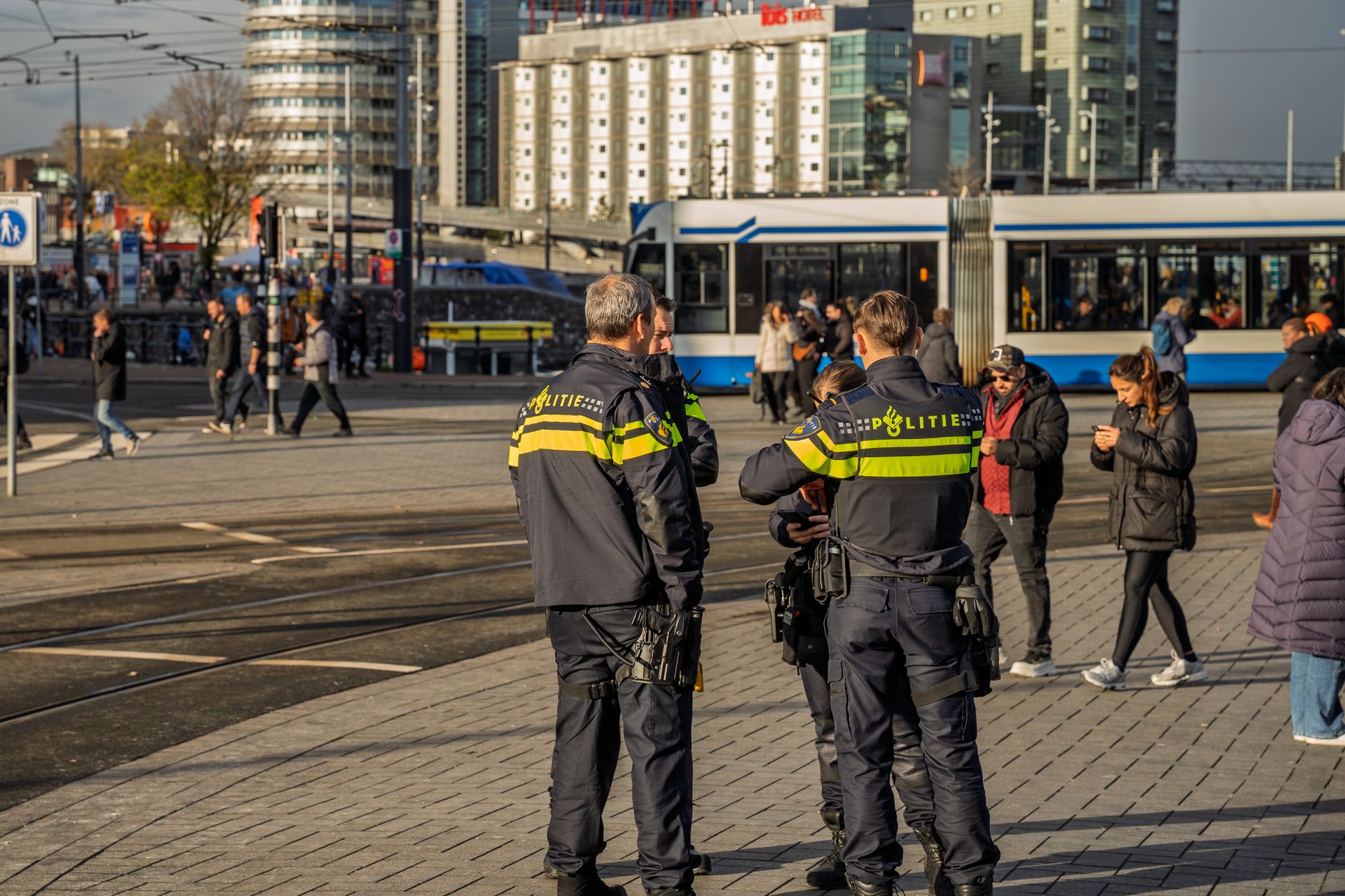
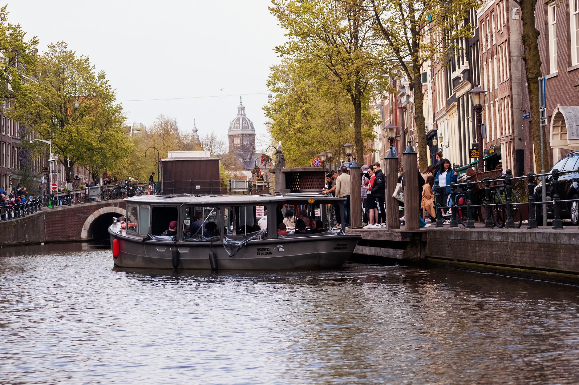
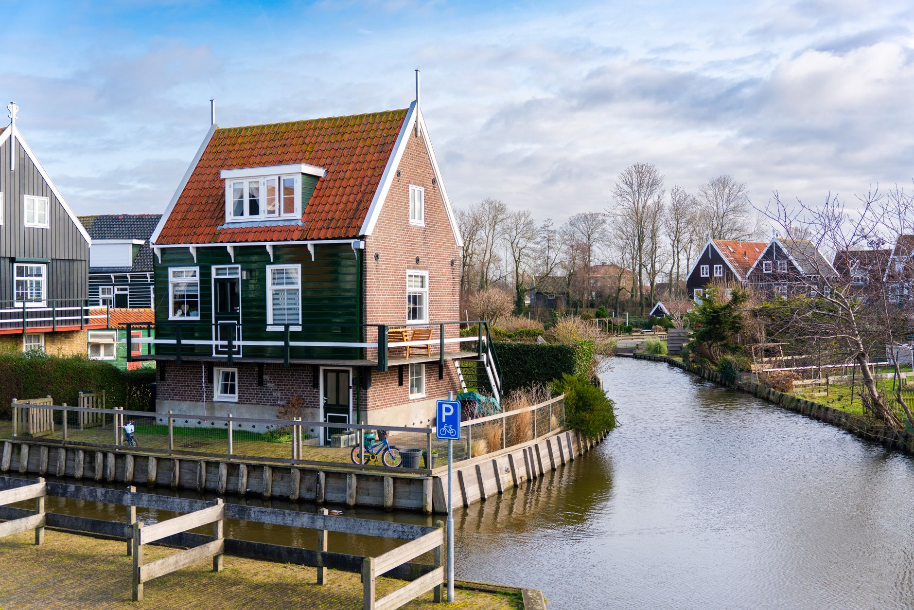
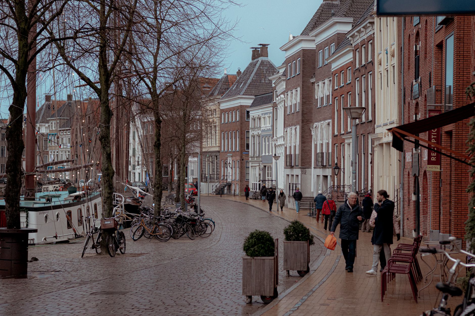
Amsterdam was built on a dam across the Amstel River, and the logic of water still runs through everything here. The city's roughly 165 canals — about 100 kilometres of them, crossed by more than 1,200 bridges — aren't decoration; they were the infrastructure that made this one of the wealthiest trading places on earth during the 17th century. The canal ring, laid out from 1613 in three concentric arcs, is now a UNESCO World Heritage site, and walking its edges at dusk, when the houseboats light up and cyclists thread past without slowing, gives you the clearest sense of how the city actually works.
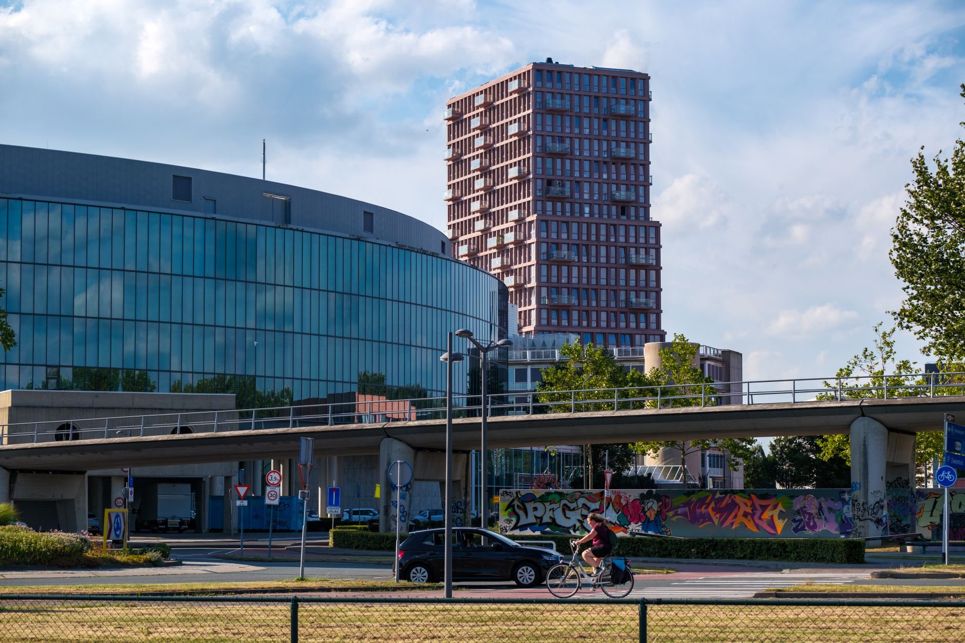
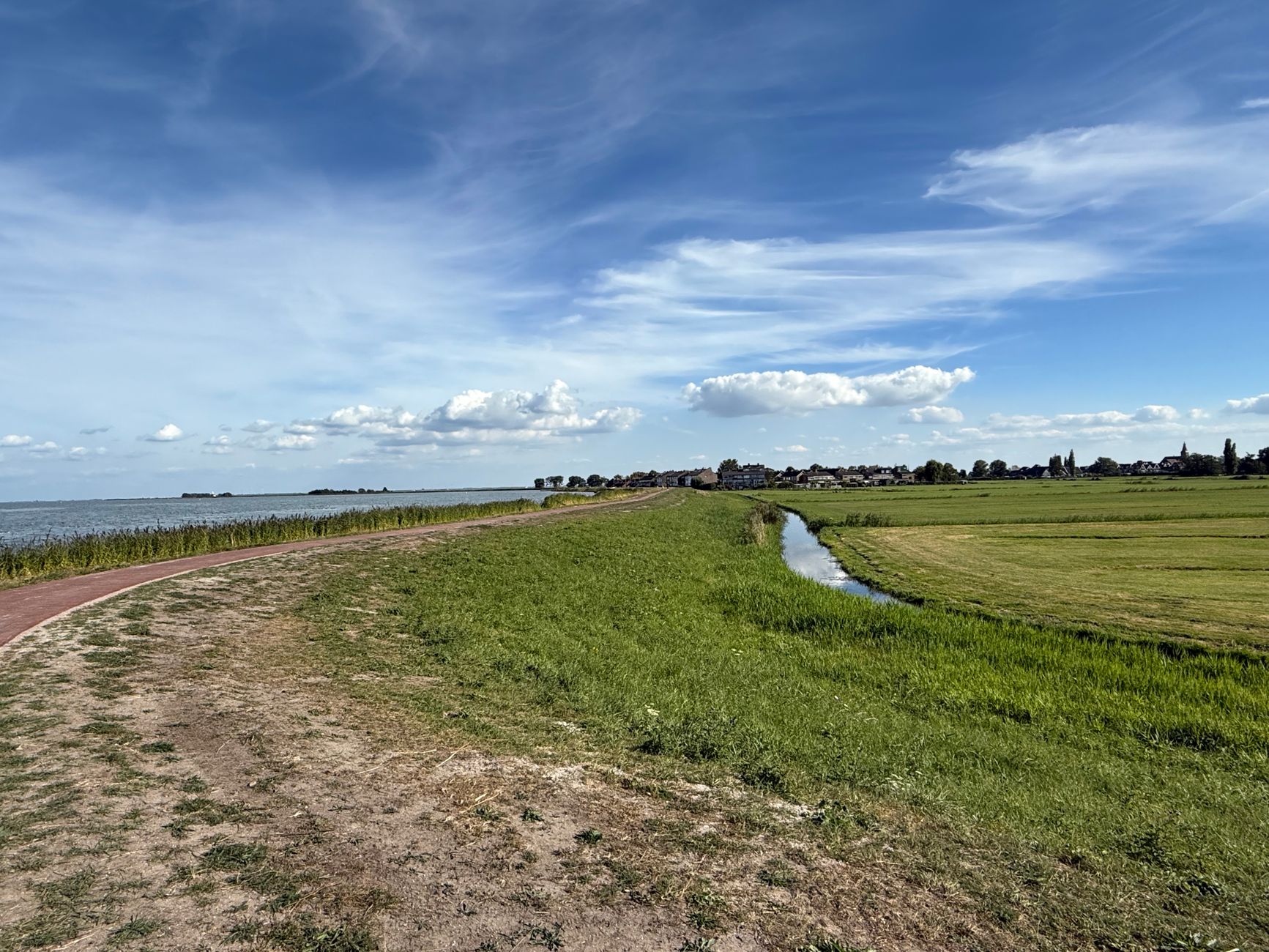
The metropolitan area stretches well beyond the old centre, taking in post-industrial neighbourhoods, modernist housing blocks, and the flat agricultural land that still presses close to the city's edge. Getting to grips with it takes more than a day or two, and rewards the visitor willing to cross the IJ by free ferry and explore what sits on the other side.
How Amsterdam Metropolitan Area, Netherlands came to be
On 27 October 1275, Count Floris V granted toll-free trading rights to the people living near the Amstel dam — that document is the city's founding moment. A full city charter followed in 1306. By the Dutch Golden Age (roughly 1588–1672), a town of 30,000 had grown to 200,000 and become the largest port and richest market on earth. The VOC, the world's first multinational corporation and first publicly traded company, was founded here in 1602. The Bank of Amsterdam followed in 1609, functioning as a de facto global central bank.
The 20th century brought a darker chapter. During the Nazi occupation of 1940–1945, around 75,000 of Amsterdam's 80,000 Jewish residents were murdered — a loss that still shapes how the city remembers itself. Amsterdam became the Netherlands' capital in 1814, and has been accumulating layers of architecture, thought, and contradiction ever since.
Who and what shaped it
People who shaped it
Landmark buildings
See Amsterdam Metropolitan Area, Netherlands in motion
Plan your visit
On the map
When to go
Amsterdam's climate is mild and maritime, which means grey skies and rain are possible in any month. Summers are warm rather than hot, winters damp and occasionally icy. April through June and September through October tend to offer the most comfortable conditions for walking the city on foot.
Right now
↡ Cities
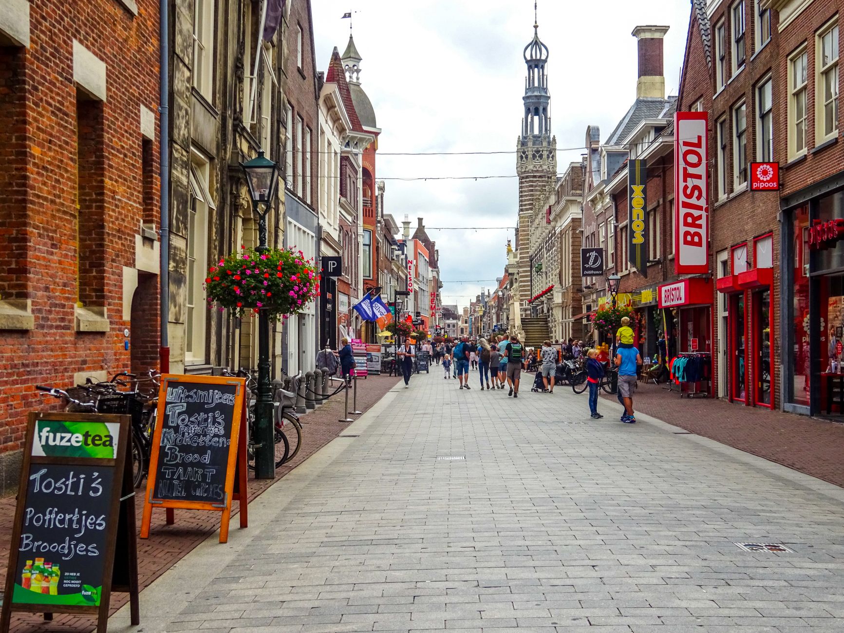


Background & history adapted from Wikipedia (CC BY-SA) · specs from Wikidata (CC0) · weather from Open-Meteo · map data © OpenStreetMap contributors · photos from Wikimedia Commons / Unsplash with per-image credit. No third-party reviews or social posts reproduced.