
Marken
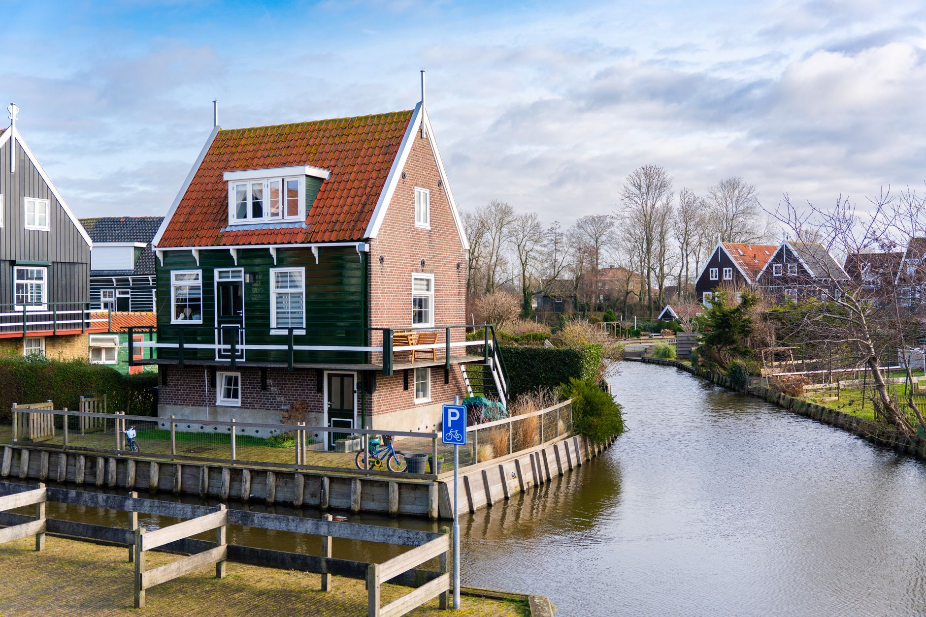
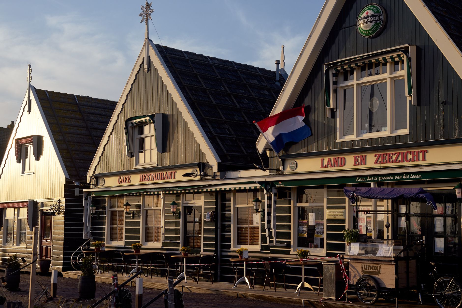
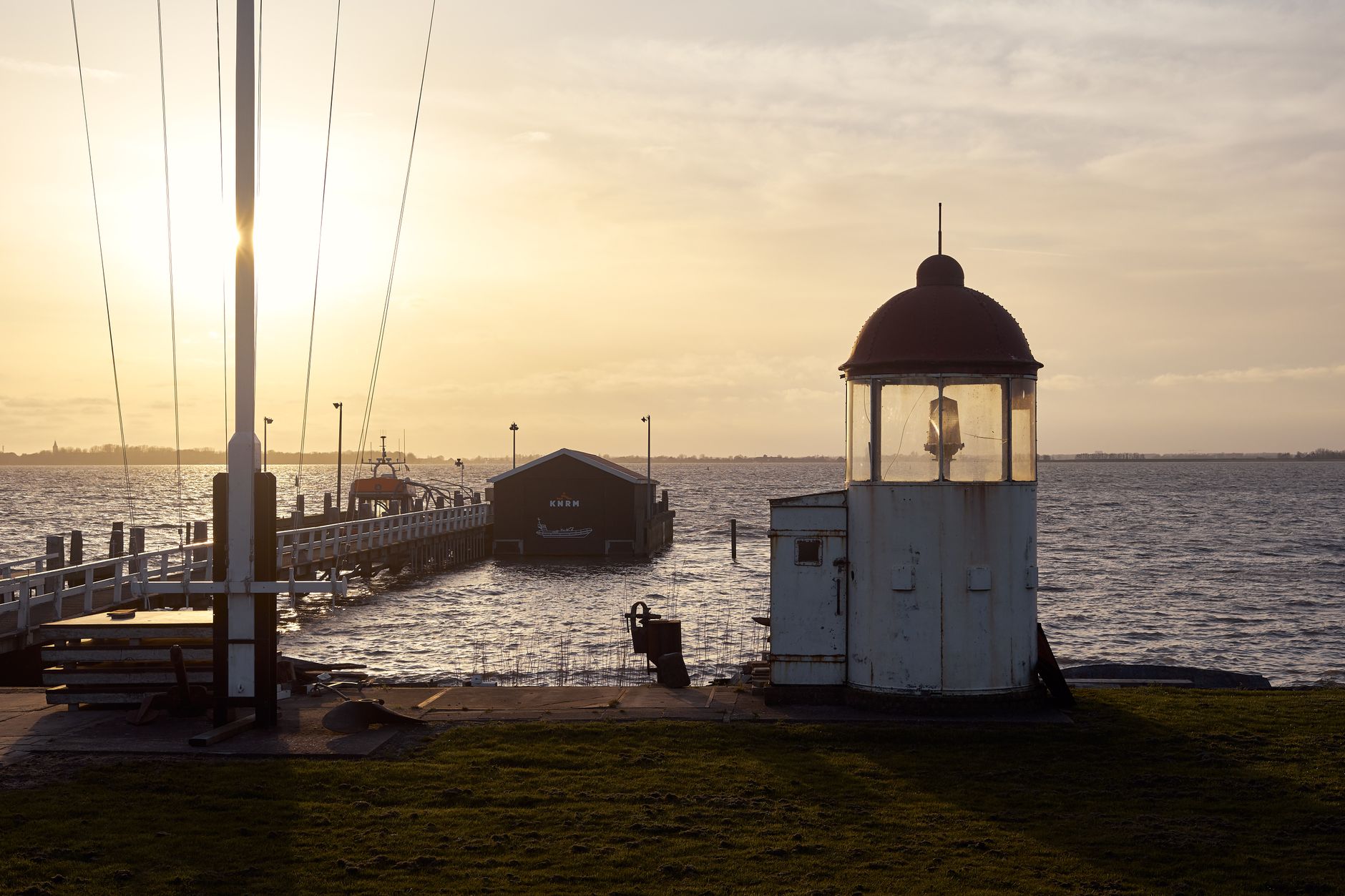
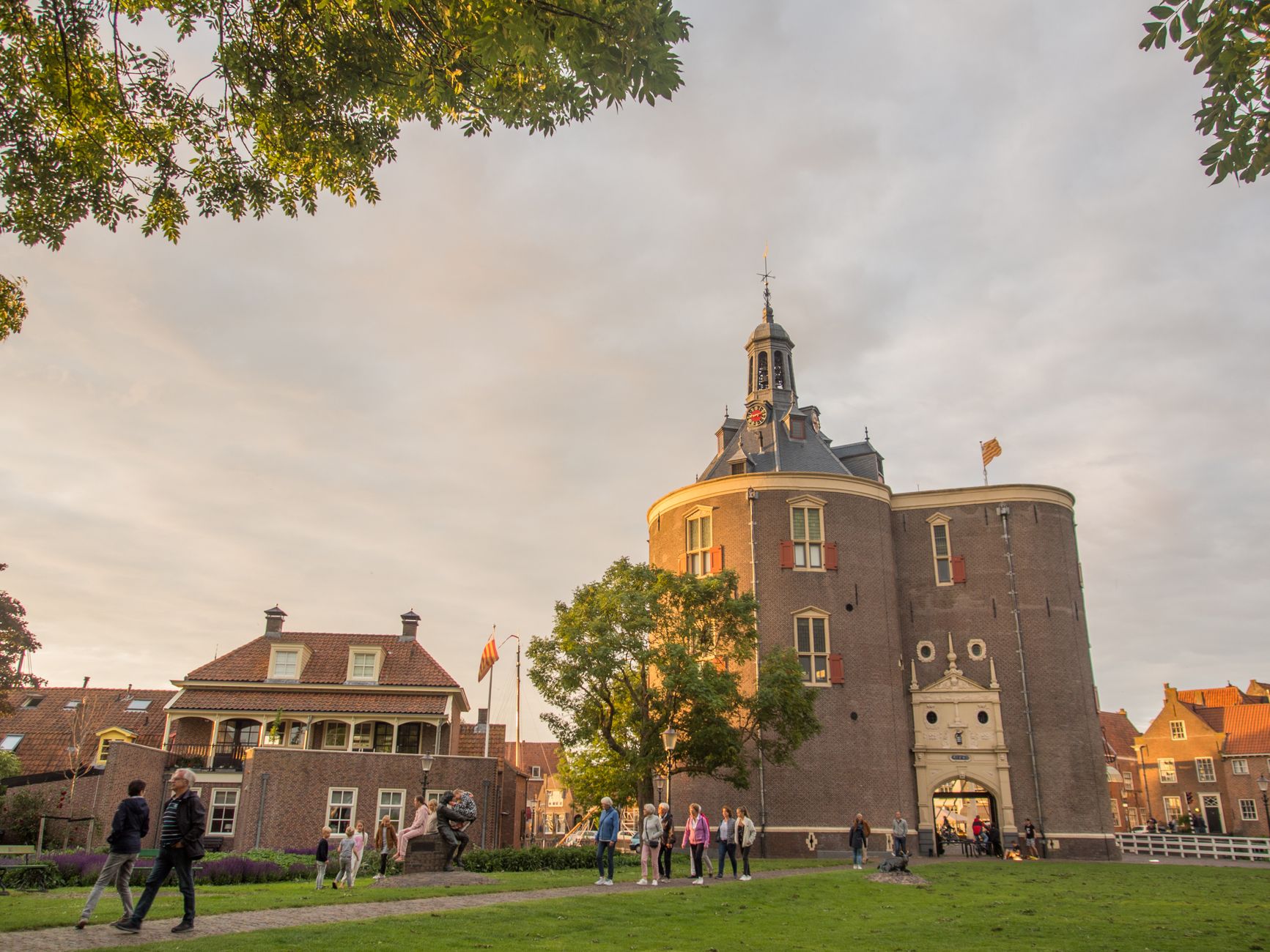
Marken sits in the IJmeer on a peninsula that was, until 1957, a proper island — and it still feels like one. The green-and-white wooden houses don't sit on the ground the way houses elsewhere do; they perch on low artificial mounds called werfs, a practical answer to centuries of flooding that gives the village its slightly tilted, stage-set quality. Walk the Havenbuurt and you'll notice the boats hanging from the ceiling inside the Grote Kerk before you notice much else.
With 1,730 people and one road connecting it to the mainland, Marken has a density of character that larger places rarely manage. The Marker Museum fills several traditional homes with fishing gear, costumes, and the kind of everyday objects that tell you more about a place than any monument.
💛 What travellers fall for
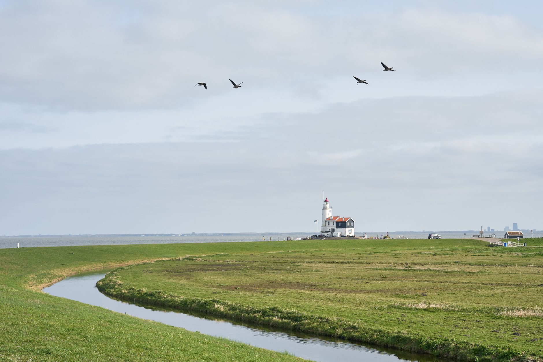
People who come back tend to take the ferry from Volendam rather than the bus — the 20-minute crossing gives you the island's silhouette before you arrive, which matters. They also walk the dyke path toward the Paard van Marken lighthouse, all 2.3 km of it, and buy the return ferry ticket at the start to save the €3 premium on two singles.
Deals in Marken
Book directly at the provider


How Marken came to be
A flood in 1164 — the Saint Juliana flood — cut Marken loose from the mainland, turning farmland into an island community that would spend the next eight centuries adapting to water. Around 1232, Frisian Premonstratensians arrived, bought the island, built the first dike, and began reclaiming land. They also founded Monnickendam across the water as a market for their dairy. In 1345, the Friso-Hollandic Wars ended their presence on Marken entirely.
Left to manage alone, islanders built their houses on werfs and developed a culture — costumes, architecture, habits — distinct enough that a woman named Sijtje Boes opened her home as a museum in the 1920s, before tourism was even a concept here. A 1916 flood killed 16 people. The causeway arrived in 1957. Marken lost its status as a separate municipality in 1991, absorbed into Waterland.
Who and what shaped it
People who shaped it
Landmark buildings
See Marken in motion
Plan your visit
On the map
When to go
May through September is when Marken makes sense: temperatures between roughly 18°C and 22°C, and enough daylight to walk the dyke path to the lighthouse and still have time for the museum. Winter is cold, grey, and very short on sun — December averages under two hours of daylight — and the ferry stops running from November to mid-March.
Right now
Background & history adapted from Wikipedia (CC BY-SA) · specs from Wikidata (CC0) · weather from Open-Meteo · map data © OpenStreetMap contributors · photos from Wikimedia Commons / Unsplash with per-image credit. No third-party reviews or social posts reproduced.