
Thuringian Forest
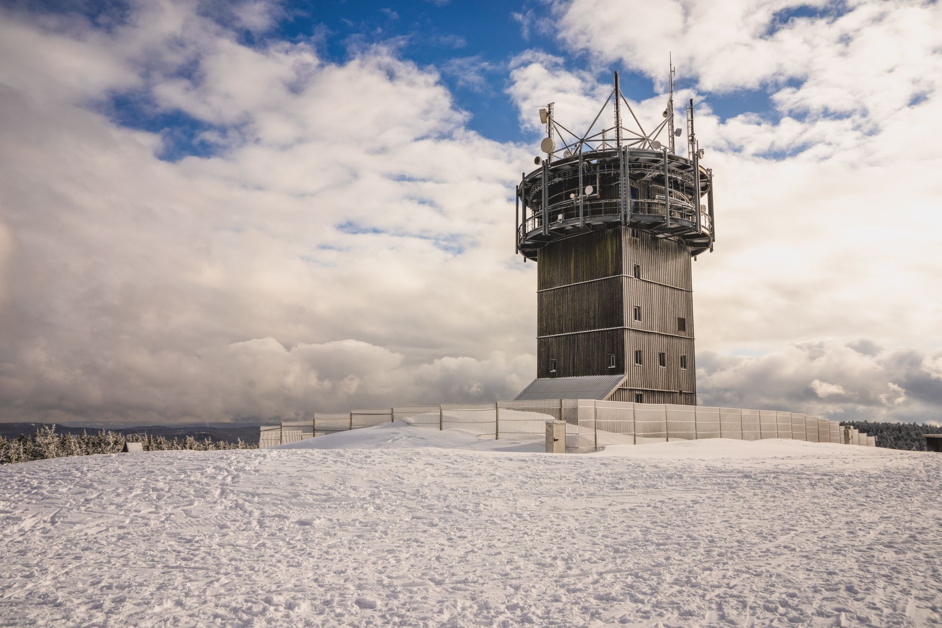
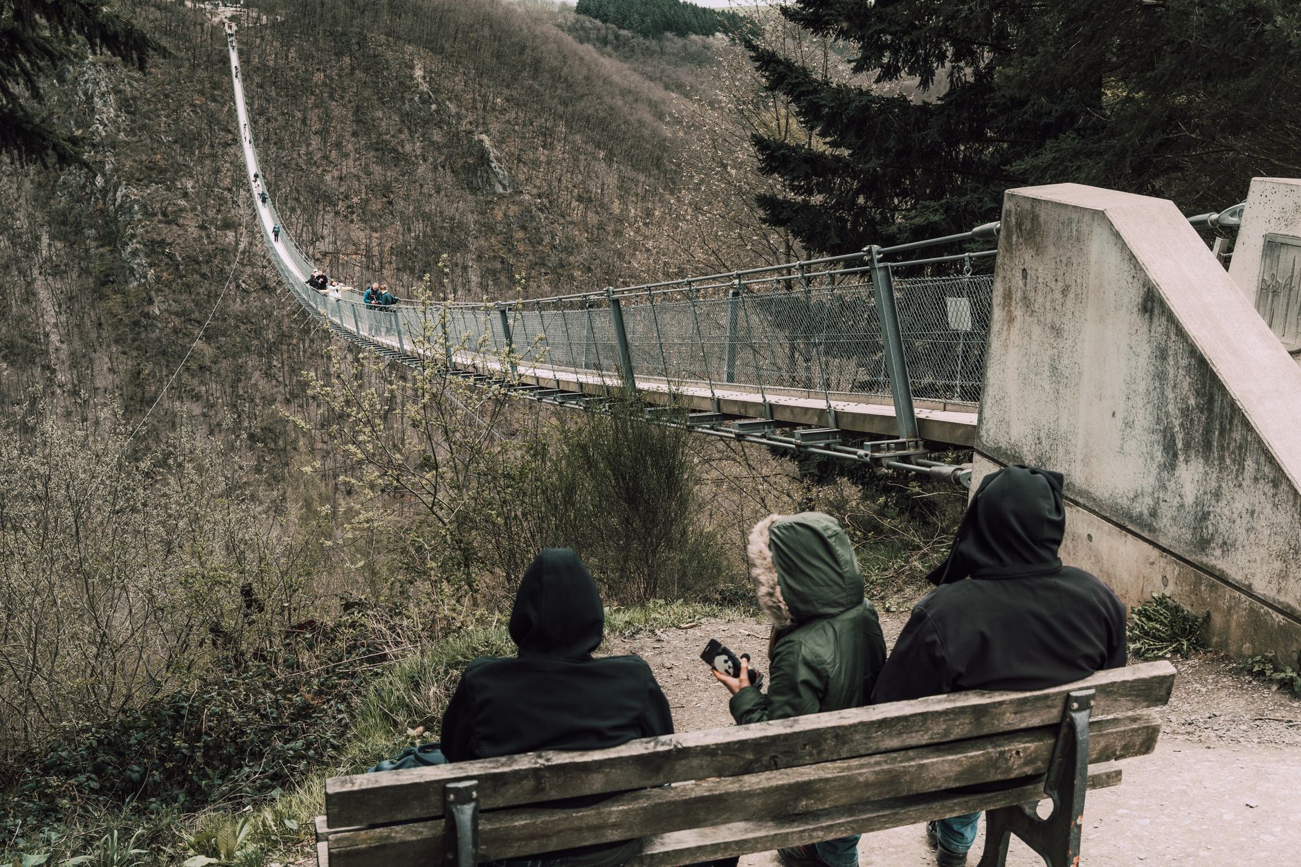
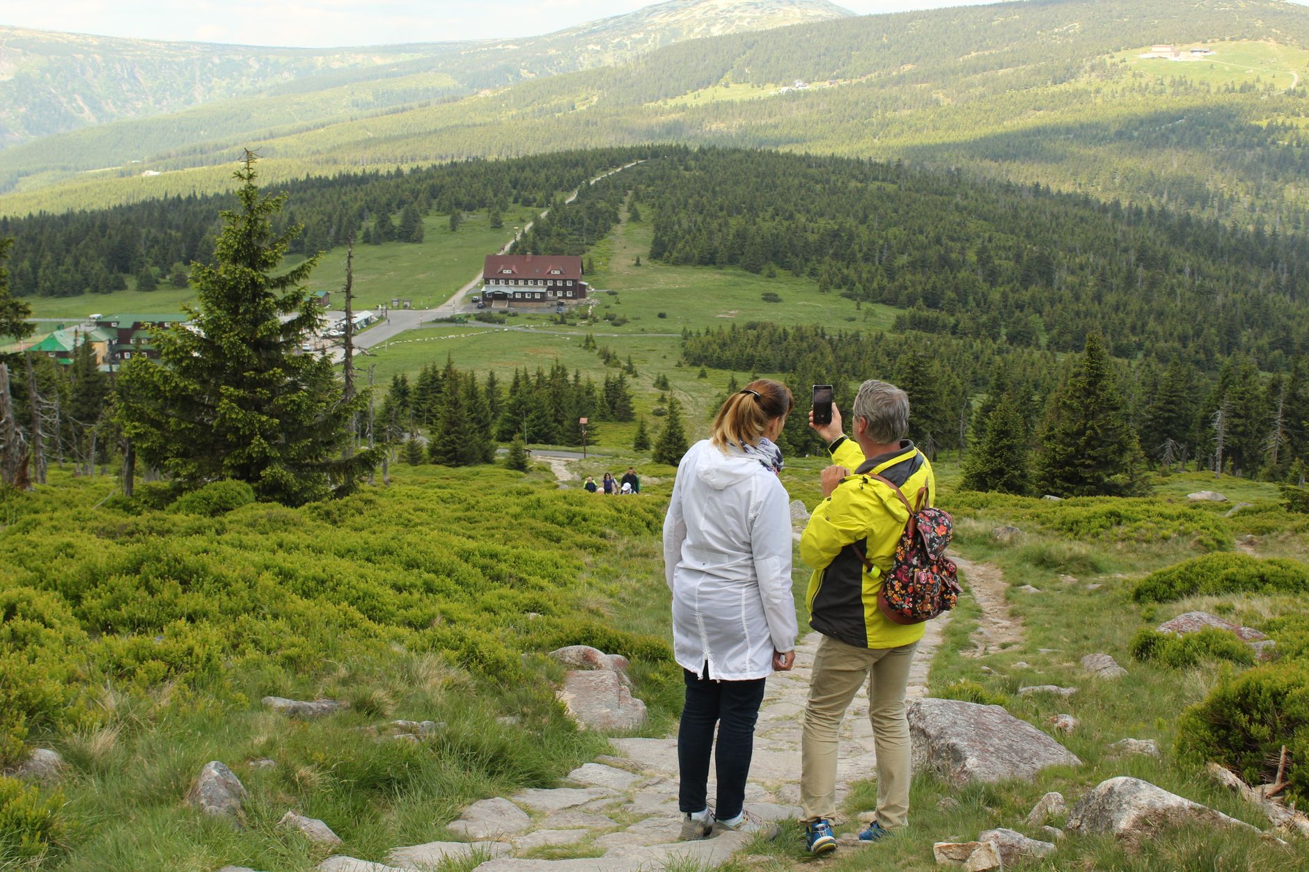
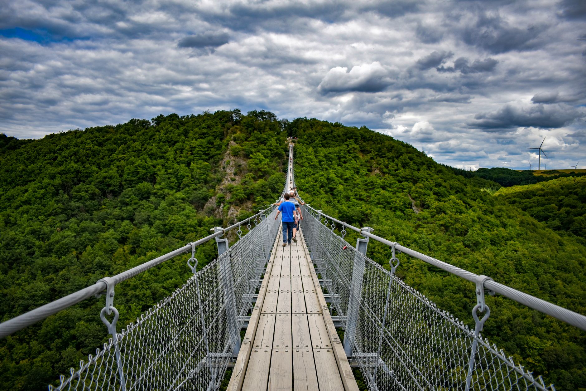
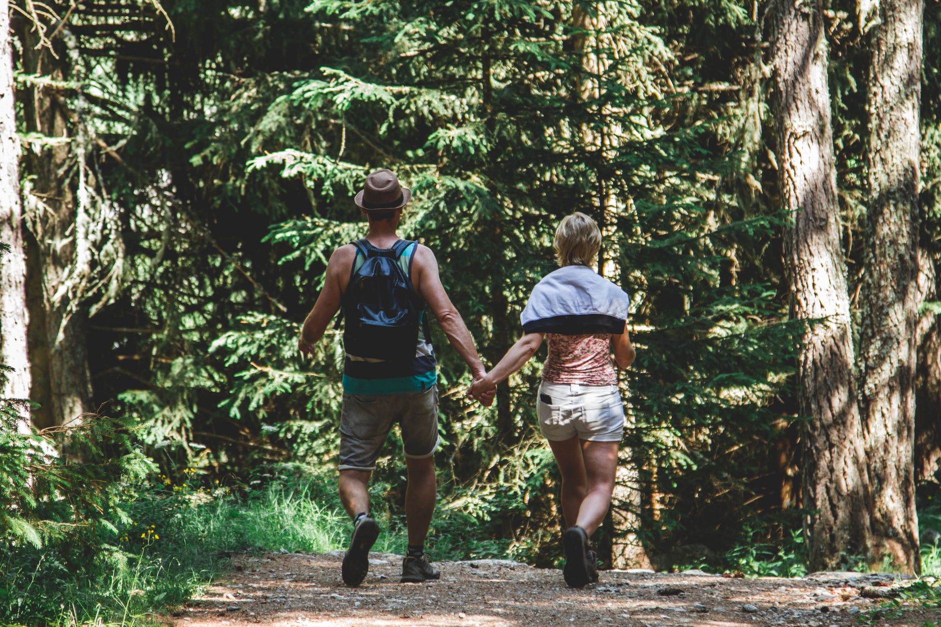
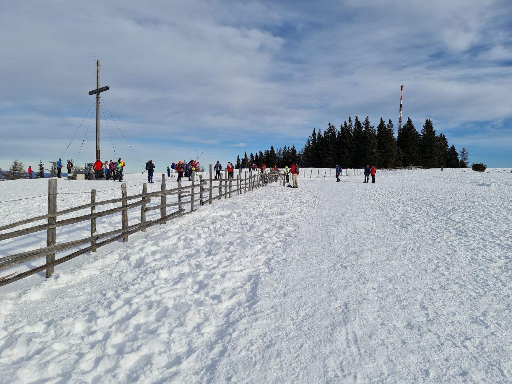
The Rennsteig trail runs 170 kilometres along the forest ridge, an old frontier path whose name probably means exactly that — a boundary line between Thuringia and Franconia, walked for centuries before anyone thought to mark it on a map. The Thuringian Forest is that kind of place: older than its signage, shaped by iron ore and charcoal and the particular cold that settles above 900 metres.
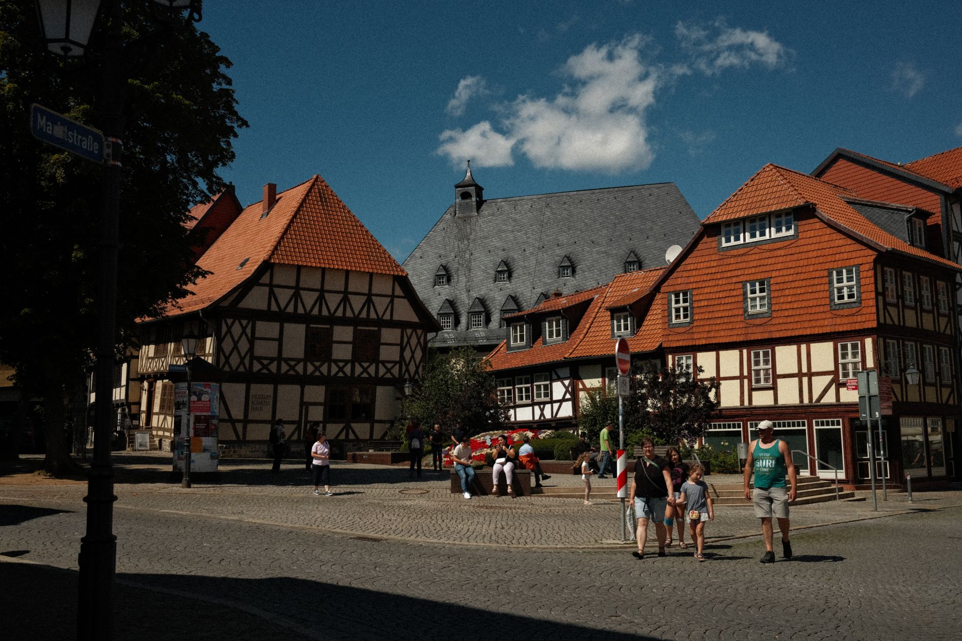
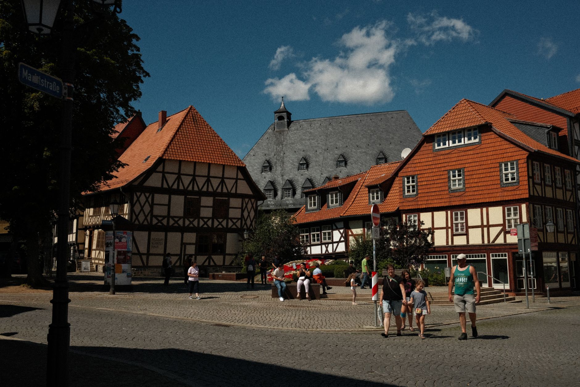
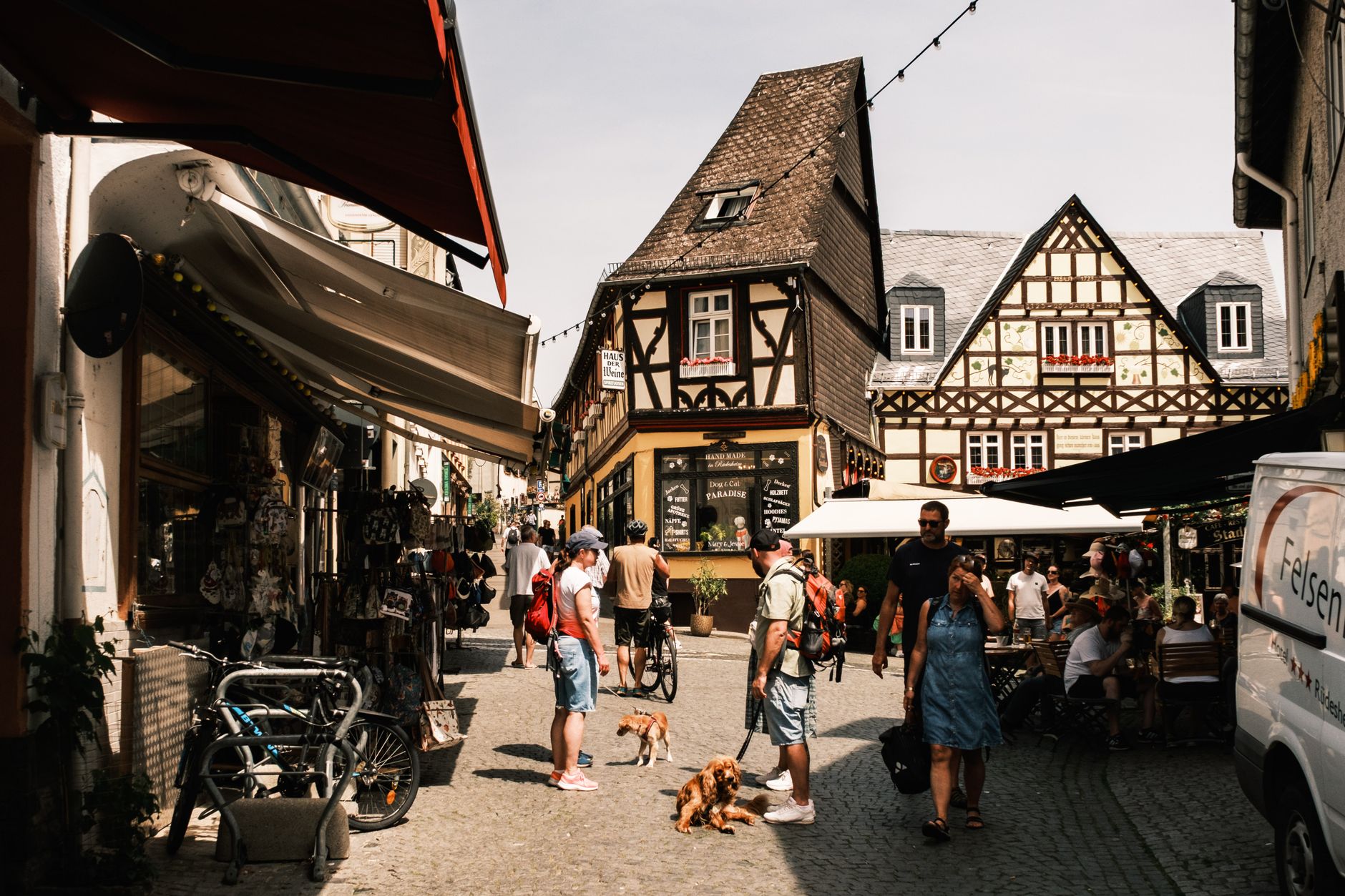
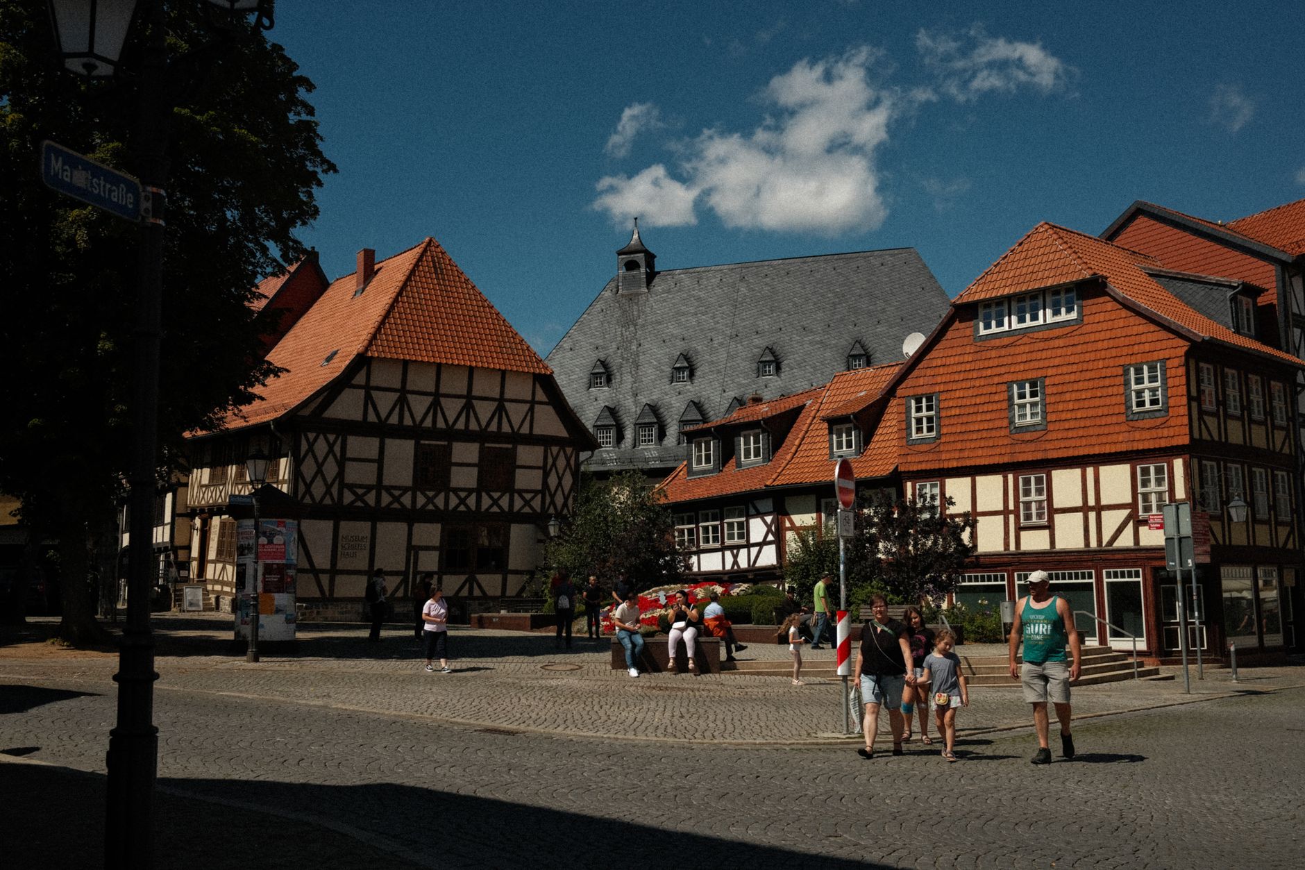
At its highest, the Großer Beerberg reaches 982 metres — modest by alpine standards, but enough to hold snow well into spring and to give the slopes around Oberhof the conditions that train Olympic ski jumpers year-round. Below the ridge, half-timbered towns like Schmalkalden and the railway lines threading through the valleys pull the whole range into something liveable rather than merely scenic.
Popular cities in Thuringian Forest
How Thuringian Forest came to be
Sorbian tribes were working iron ore deposits here as early as 725 AD, and the forest's economy ran on that ore and on charcoal for centuries. The Landgraviate of Thuringia was formalised in 1130 when Louis I was elevated by King Lothar II, but the region's political shape shifted dramatically after the War of Thuringian Succession (1247–1264), which handed much of the forest to the Wettins.
The most consequential single episode happened at Wartburg Castle above Eisenach, which dates to 1067. Martin Luther arrived there in May 1521, sheltering after the Diet of Worms, and spent ten months translating the New Testament into German — a linguistic act that shaped written German as much as it shaped Protestant theology. The Schmalkaldic League, the Protestant defensive alliance, formed in the nearby town of Schmalkalden in 1537, making this ridge country central to the Reformation's political story.
Who and what shaped it
People who shaped it
Landmark buildings
See Thuringian Forest in motion
Plan your visit
On the map
When to go
The forest sits in a transition zone between Atlantic and continental climates, and the upper altitudes see more than 150 days a year below freezing, with annual precipitation reaching 1,300 mm near Oberhof. Summers are mild on the lower slopes; winters are genuinely snowy and cold at the crest.
Right now
↡ Cities



Background & history adapted from Wikipedia (CC BY-SA) · specs from Wikidata (CC0) · weather from Open-Meteo · map data © OpenStreetMap contributors · photos from Wikimedia Commons / Unsplash with per-image credit. No third-party reviews or social posts reproduced.