
Tambach-Dietharz

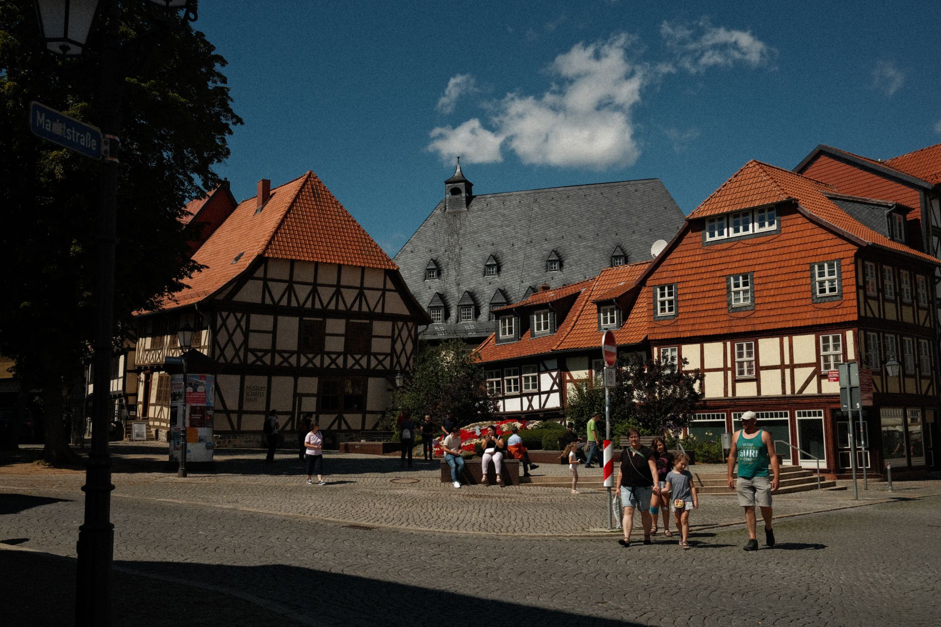

Tambach-Dietharz sits in a bowl of seven valleys about 4 km below the Rennsteig, the long ridge that runs like a spine through the Thuringian Forest. The town is small — around 4,500 people — but it carries more infrastructure than you'd expect: 173 km of marked hiking trails, two dams, a ski jump built in 1925, and a 96-metre freestanding porphyry rock called the Falkenstein that you can walk to before lunch.
The old trade route known as the magna strada once ran through this valley, connecting Leipzig to Frankfurt, and carters made their living here for centuries. That story survives in a half-timbered local history museum where the rooms have been reconstructed to show exactly how those carter families lived.
💛 What travellers fall for
People who come back tend to mention the August dam concerts at the Alte Tambacher Talsperre — a 19th-century drinking-water dam that turns out to have unexpectedly good acoustics. They also mention timing a visit for March through May, when hotel prices drop and the trails are quiet before the summer walkers arrive.
Deals in Tambach-Dietharz
Book directly at the provider


How Tambach-Dietharz came to be
Both Tambach and Dietharz appear in written records from the mid-13th century, their existence shaped by the magna strada, one of Germany's oldest trade routes, which ran through the Tambacher Mulde valley as the main artery between Leipzig and Frankfurt. For hundreds of years, carter families were the economic backbone of the area — a life documented today in the local history museum.
Industrialisation arrived in 1890 with the metal goods factory Metz, Bauer u. Kettling, which produced screw clamps, fittings, and bicycle bells. The two settlements merged in 1919, the same year Swiss theologian Karl Barth delivered his landmark speech — the "Tambacher Rede" — at Haus Tannenberg, a talk that reframed Protestant Christianity for the coming century. A monument to Barth was placed in front of the building in autumn 1989.
Who and what shaped it
People who shaped it
Landmark buildings
See Tambach-Dietharz in motion
Plan your visit
On the map
When to go
The town sits between 450 and 886 metres, which means proper winters: snow-covered forest, sharp air, and over 25 km of groomed cross-country ski trails. Summer brings the hiking season, when the valleys and the Falkenstein trail are at their most accessible; spring, from March onward, is quieter and noticeably cheaper.
Right now
Background & history adapted from Wikipedia (CC BY-SA) · specs from Wikidata (CC0) · weather from Open-Meteo · map data © OpenStreetMap contributors · photos from Wikimedia Commons / Unsplash with per-image credit. No third-party reviews or social posts reproduced.