
Brotterode
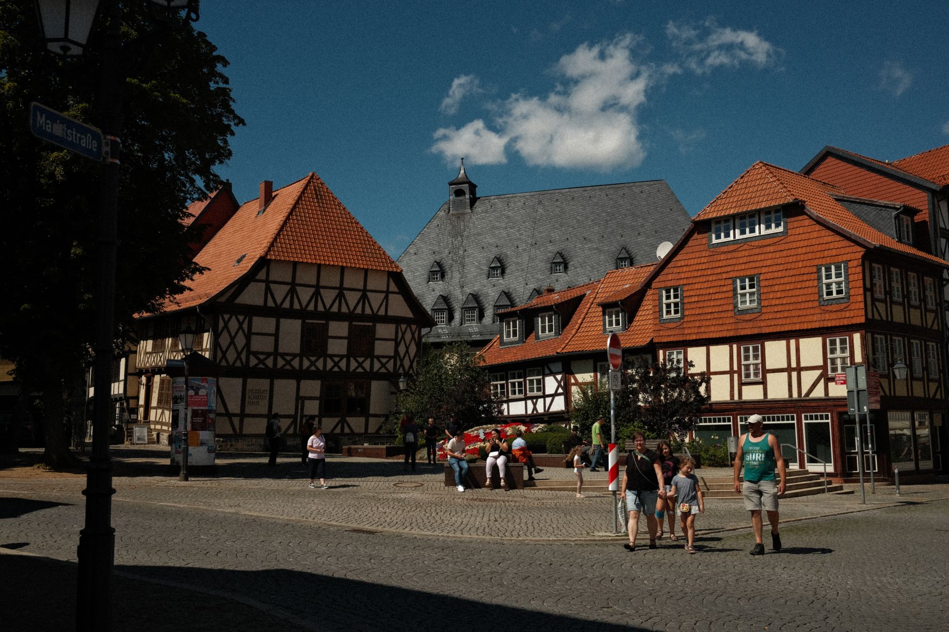
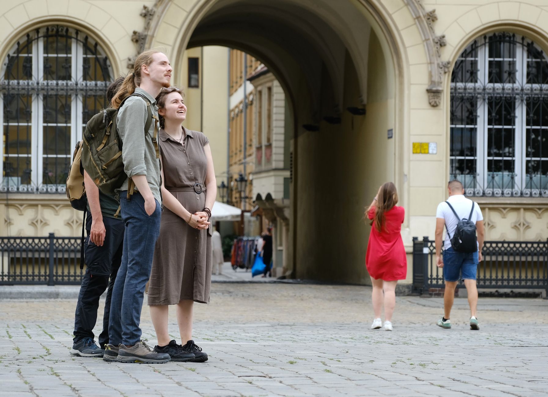
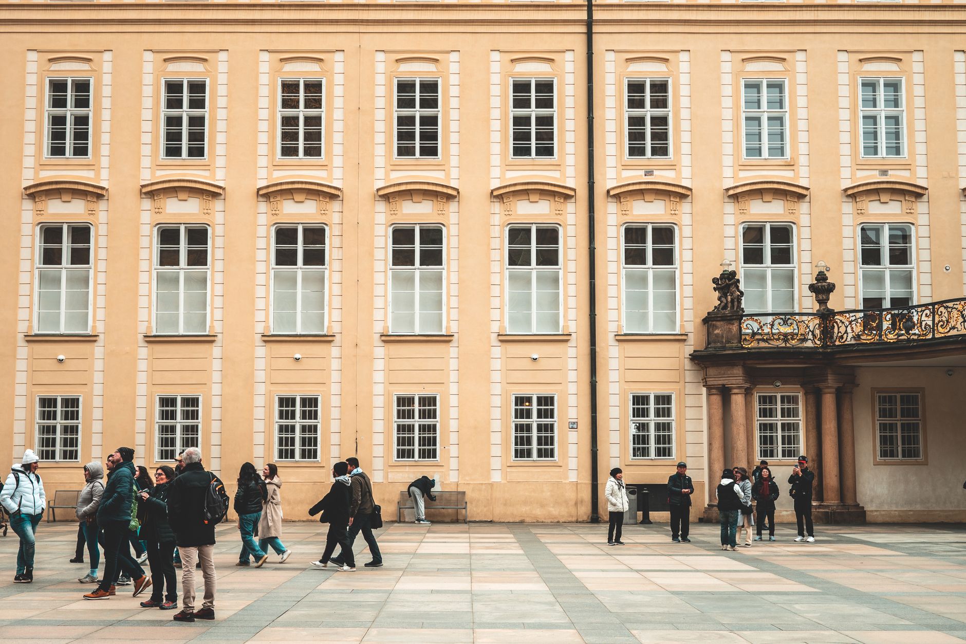
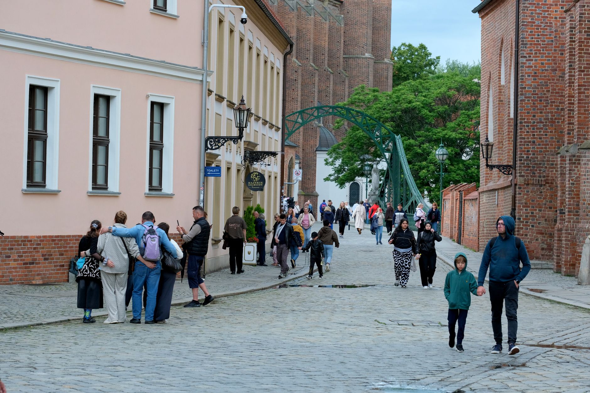
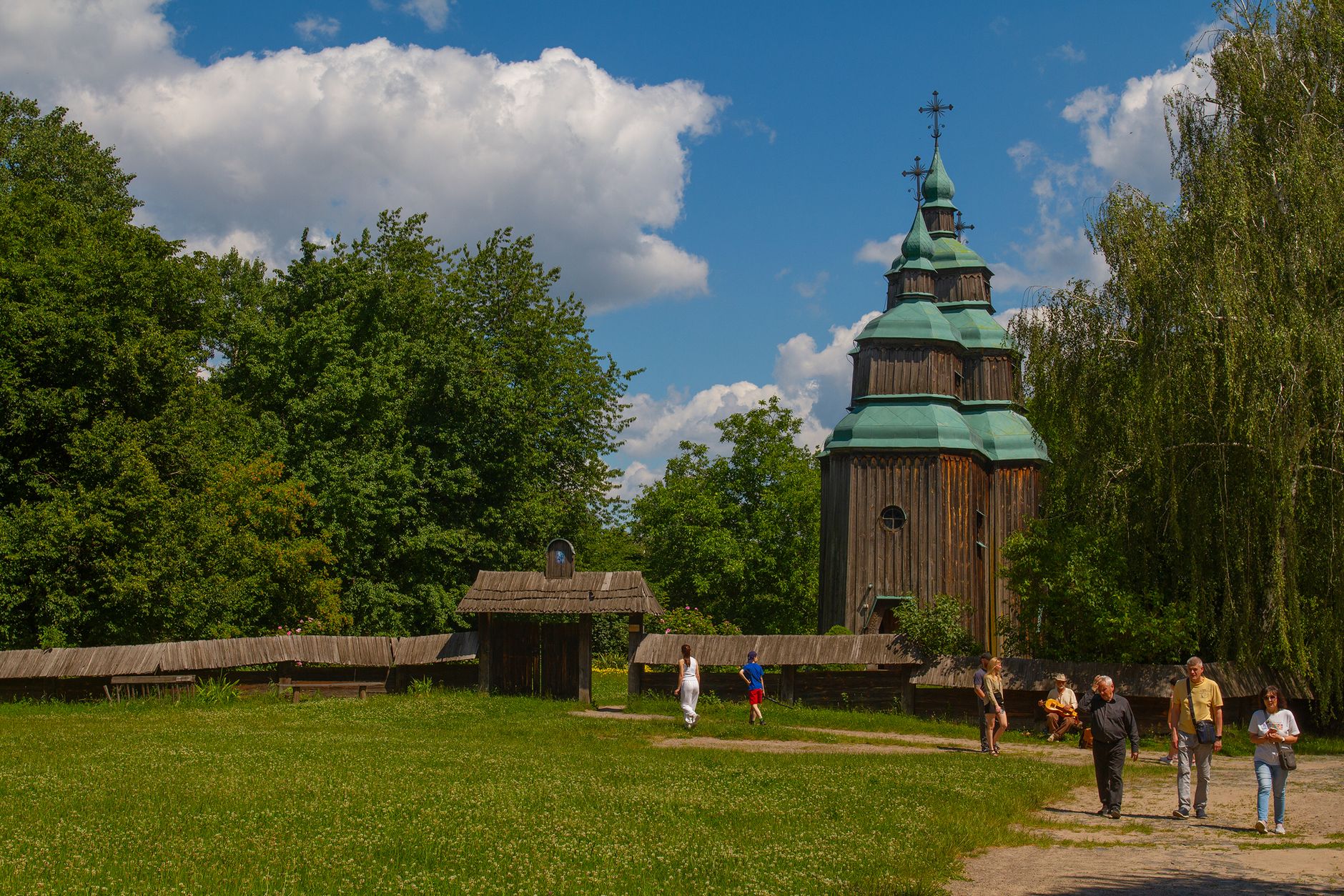
At 600 metres above sea level, Brotterode sits right at the edge of the Rennsteig — the long ridge trail that has marked a boundary between German territories for centuries. The Großer Inselsberg rises another 300 metres behind the town, and on clear mornings its silhouette is the first thing you see from the valley road.
This is a small place, around 2,700 people, that has rebuilt itself more than once. A fire in 1895 destroyed almost everything — 729 of 842 buildings gone in a single event — and the town came back. It earned city rights in 1936, merged with Trusetal in 2011, and carries both stories quietly.
💛 What travellers fall for
People who come back tend to walk up to the Pfingstweide viewpoint early, before the trail gets any traffic — there's a bench and a shelter up there, and on a good morning you can see across to the Rhön. The artificial waterfall at Trusetal gets underrated precisely because it's man-made; it's worth the short detour regardless.
Experiences you don't want to miss


Deals in Brotterode
Book directly at the provider


How Brotterode came to be
The name appears in records as early as 1039, written then as 'Brunuwardesrot.' By around 1360 it was the seat of a local Vogt, and in 1583 the Landgrave of Hesse took possession of it. For centuries it sat in the administrative borderlands — part of the Prussian province of Hesse-Nassau before the Second World War.
The defining event of its modern shape was the Great Fire of 1895, which left only a fraction of the town standing. The community rebuilt steadily over the following years, and the Frankenstein Castle ruin — constructed artificially by locals in 1891, just before the fire — survived to become the scenic landmark it was always intended to be. City rights followed in 1936.
Who and what shaped it
Landmark buildings
See Brotterode in motion
Plan your visit
On the map
When to go
At this elevation, winters are genuine — cold enough for skiing on the Inselsberg — and snow can linger into March. Spring and summer open up the Rennsteig trails and the outdoor pool; autumn brings low mist in the valleys and good colour on the forest roads.
Right now
Background & history adapted from Wikipedia (CC BY-SA) · specs from Wikidata (CC0) · weather from Open-Meteo · map data © OpenStreetMap contributors · photos from Wikimedia Commons / Unsplash with per-image credit. No third-party reviews or social posts reproduced.