
Schmiedefeld am Rennsteig
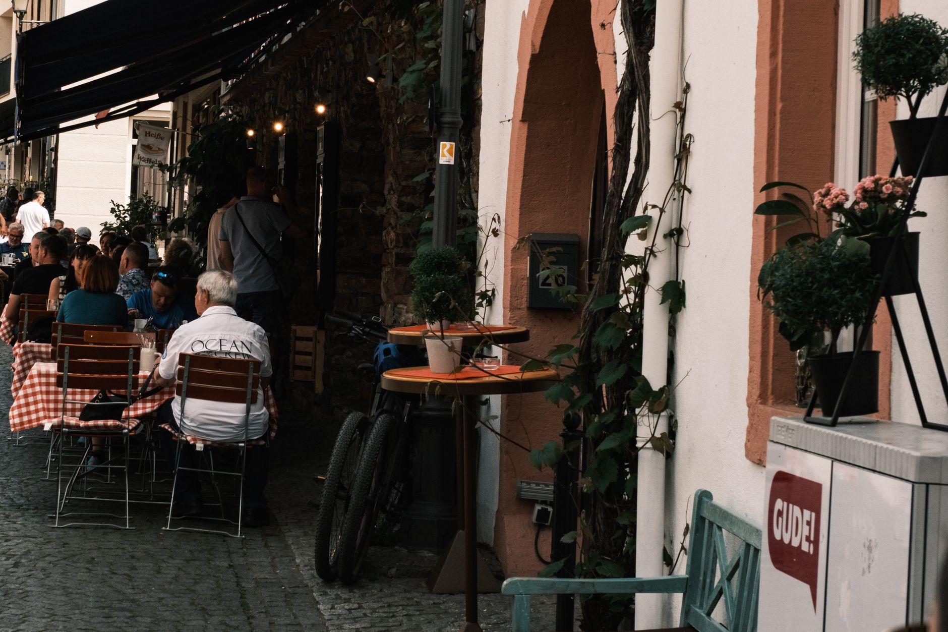
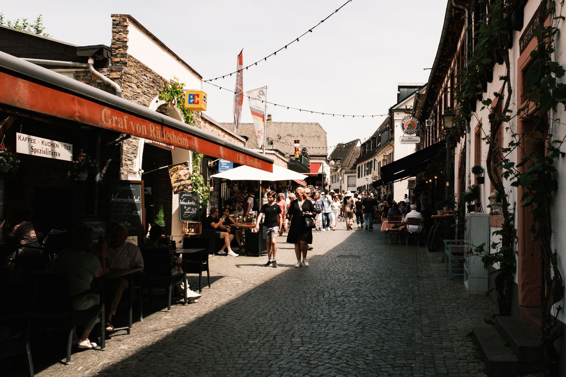
The Rennsteig runs right through Schmiedefeld — not past it, through it — and that fact shapes everything about this small Thuringian ridge town sitting between 680 and 944 metres above sea level. The historic ridgeway trail has been a boundary and a road for centuries, and the town grew up along it the way settlements do when a path matters enough.
With around 1,700 people, Schmiedefeld is a place of working scale. The economy runs on tourism and handicrafts now, but the ground underneath tells an older story: iron ore, then porcelain, then glass. The Schneekopf rises to 978 metres just above town, and the Neue Gehlberger Hütte up there — Thuringia's highest serviced hut — is where you go when the trail earns a meal.
💛 What travellers fall for
People who come back tend to time it around the GutsMuths-Rennsteiglauf, Europe's largest cross-country race, when the ridge fills with 10,000 runners and the whole town orients itself around the trail. Off-season regulars swear by the Heilstollen Sankt Barbara — the old sulphur tunnels in Schwefelloch — on a cold, grey midweek afternoon when you'll have them nearly to yourself.
Deals in Schmiedefeld am Rennsteig
Book directly at the provider


How Schmiedefeld am Rennsteig came to be
Schmiedefeld first appears in the written record in 1406, built on iron ore. By the sixteenth and seventeenth centuries it was feeding iron to the weapons manufacturers in nearby Suhl, a trade that sustained the town until the nineteenth century, when competition from Rhineland-Westphalia made the local industry unviable. Two attempts at porcelain — factories founded in 1809 and 1855 — both failed.
Glass saved it. From 1862 the glass industry brought enough stability to carry Schmiedefeld forward. By 1928 the town had found a second identity as an air-cure resort, its elevation and clean ridge air drawing visitors for health reasons. In January 2019 it was incorporated into the town of Suhl, closing its chapter as an independent municipality.
Who and what shaped it
Landmark buildings
See Schmiedefeld am Rennsteig in motion
Plan your visit
On the map
When to go
Summers are mild and partly cloudy at this elevation — July averages nearly ten hours of sun a day, though it's also the wettest month. Winters are genuinely cold, snowy and windy, with January offering barely two hours of daylight sun; if you come then, come prepared and come for the sledding runs and torch hikes rather than the views.
Right now
Background & history adapted from Wikipedia (CC BY-SA) · specs from Wikidata (CC0) · weather from Open-Meteo · map data © OpenStreetMap contributors · photos from Wikimedia Commons / Unsplash with per-image credit. No third-party reviews or social posts reproduced.