
Frauenwald

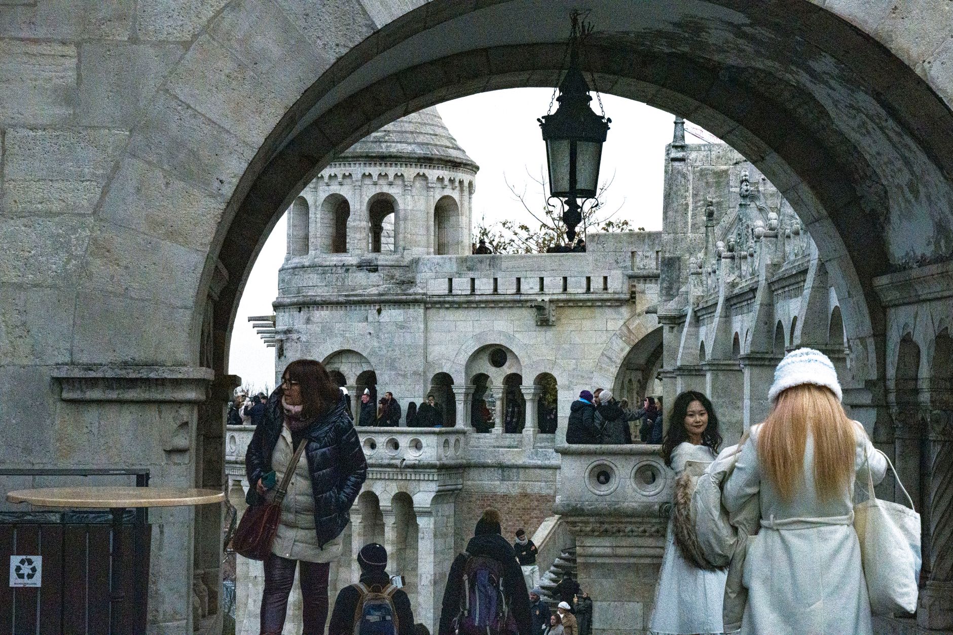
At around 800 metres on a long ridge in the Thuringian Forest, Frauenwald is the kind of place where the Rennsteig — Germany's ancient watershed trail — runs right through the middle of the village. In winter, the fields outside town fill with sled dog teams competing in what has become Germany's largest sprint-distance sled dog race, a WSA World Cup fixture since 2007.
Since 2019, Frauenwald has been part of the municipality of Ilmenau, but it keeps its own character: a small UNESCO Biosphere Reserve settlement with GDR-era cross-country skiing heritage, a Stasi bunker turned museum, and forest trails that empty out by mid-afternoon.
💛 What travellers fall for
Regulars tend to time the sled dog race in January or February and book early — accommodation on the ridge is thin. The Zwergenpfad loop is worth an easy morning, and the Heimatstube 'Altes Frauenwald' rewards the curious: a compact local museum where the agricultural and craft objects are genuinely strange and specific.
Deals in Frauenwald
Book directly at the provider

How Frauenwald came to be
The name Frauenwald traces back to a chapel reputedly built around 1177 by Count Poppo IV of Henneberg, later expanded into a women's provostry. The settlement's first written record comes in 1218. A stone chronicle at the drill chair was erected in 1934 and rebuilt in 1984; the Soldier's Fountain, inaugurated in 1937, marks a spring where troops once stopped on the old army road to Würzburg.
During the GDR decades, Frauenwald served as a training base for winter sports, producing national champions in cross-country skiing and alpine combined through the 1970s onward. Beneath the surface, a Stasi-era underground facility now operates as the Bunker Museum — a reminder that the forest here held more than ski trails.
Who and what shaped it
Landmark buildings
See Frauenwald in motion
Plan your visit
On the map
When to go
Summers are comfortable but partly cloudy, with temperatures reaching around 20°C; winters are cold and snowy, regularly dropping below freezing, with strong winds and heavy cloud cover at this elevation. Annual precipitation runs close to 1,000 mm, and the ridge can feel exposed in any season.
Right now
Background & history adapted from Wikipedia (CC BY-SA) · specs from Wikidata (CC0) · weather from Open-Meteo · map data © OpenStreetMap contributors · photos from Wikimedia Commons / Unsplash with per-image credit. No third-party reviews or social posts reproduced.