
Swiss Alps, Switzerland
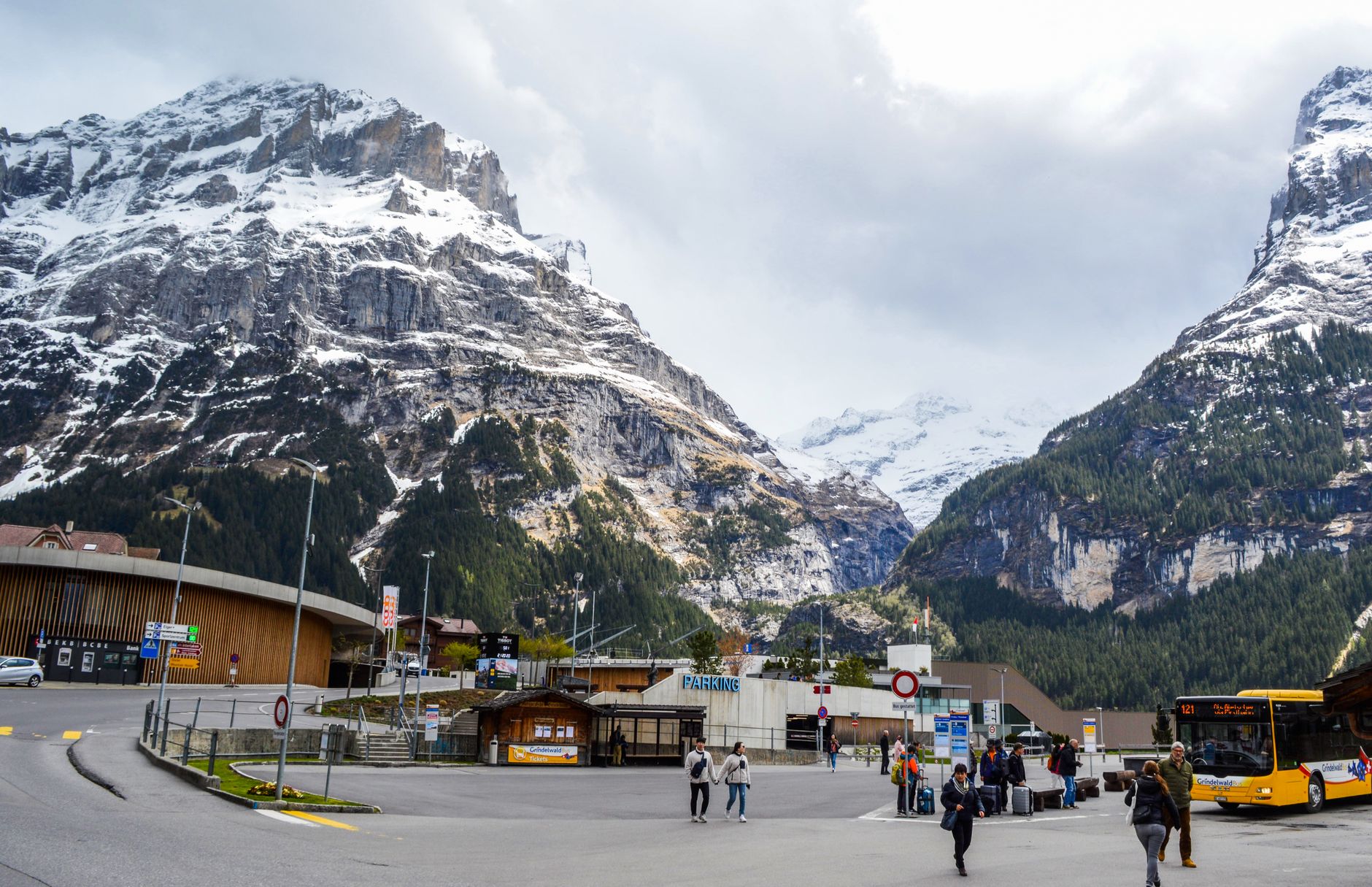
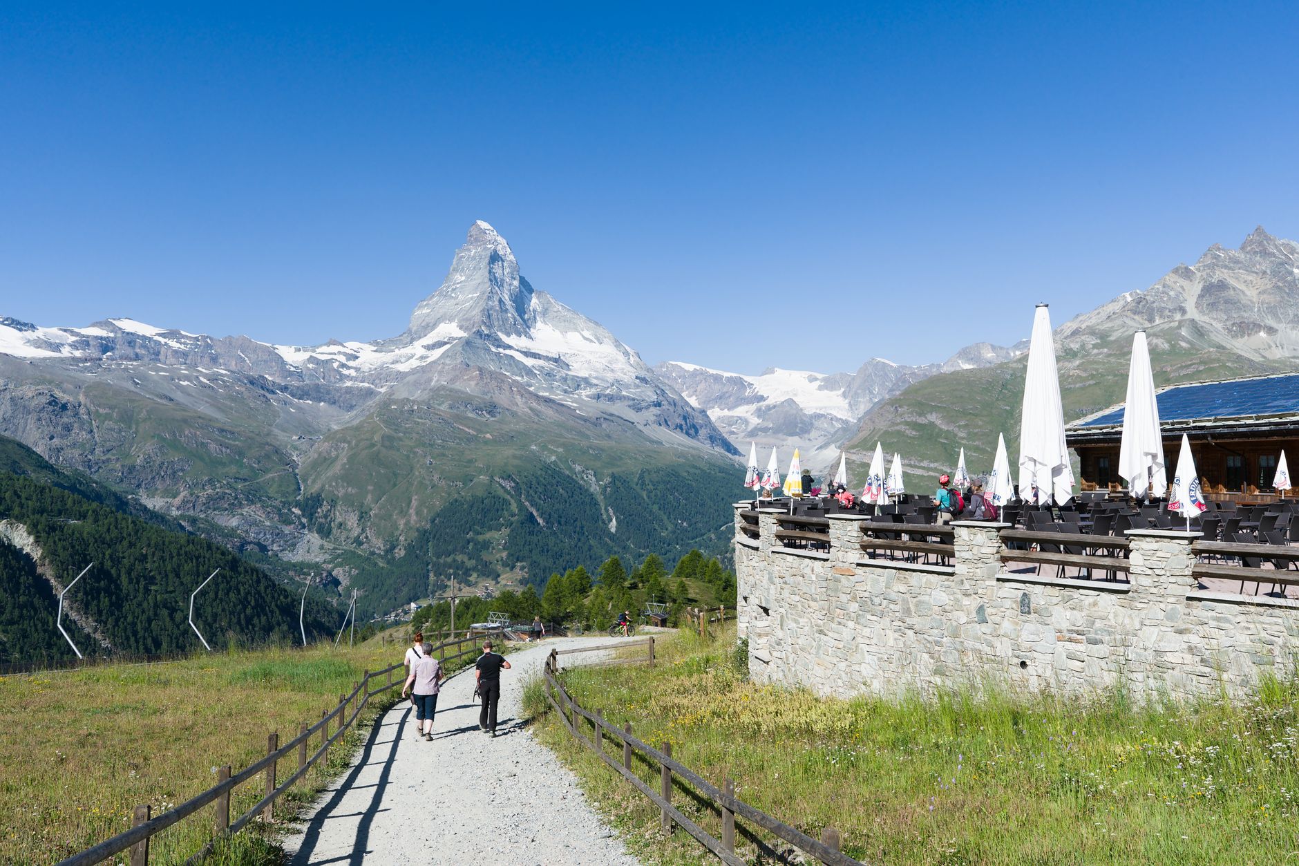
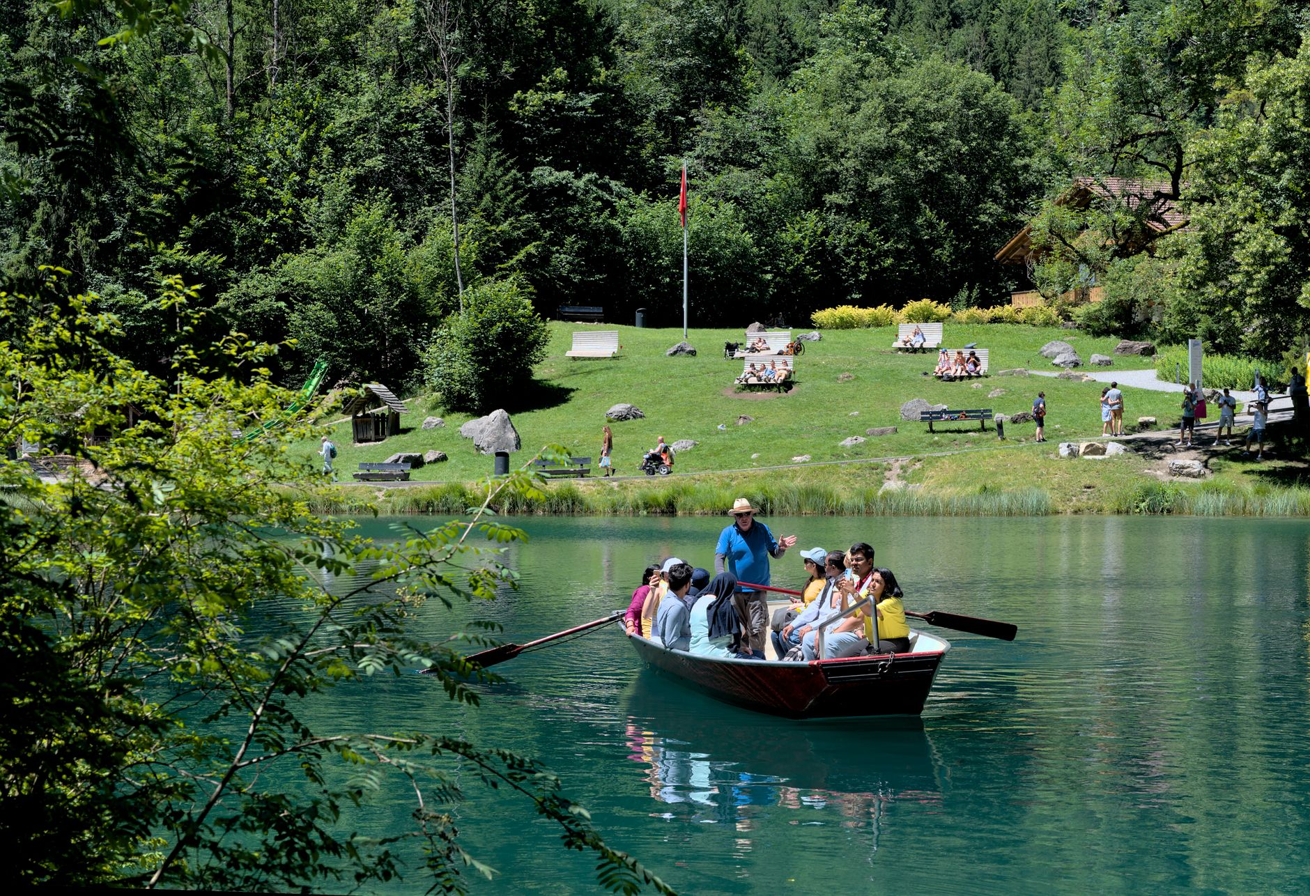


The Alps were made by collision — the African plate drifting north into Eurasia over tens of millions of years, folding rock skyward into what you see today. The landscape as it stands, with its carved valleys and hanging glaciers, is geologically recent: roughly two million years old, reshaped repeatedly by ice ages, the last of which retreated only ten thousand years ago. What remains is a region of startling vertical scale, where the Matterhorn's pyramid rises to 4,478 metres and Switzerland's highest point, the Dufourspitze on Monte Rosa, reaches 4,634 metres.
You can cross it on a cogwheel train, walk 62,000 kilometres of maintained trails, or simply sit at a hut and watch the light change on the rock face above you. The infrastructure is serious — the Swiss public transport network runs to 24,500 kilometres — but the mountains themselves are indifferent to schedules.
Popular cities in Swiss Alps, Switzerland
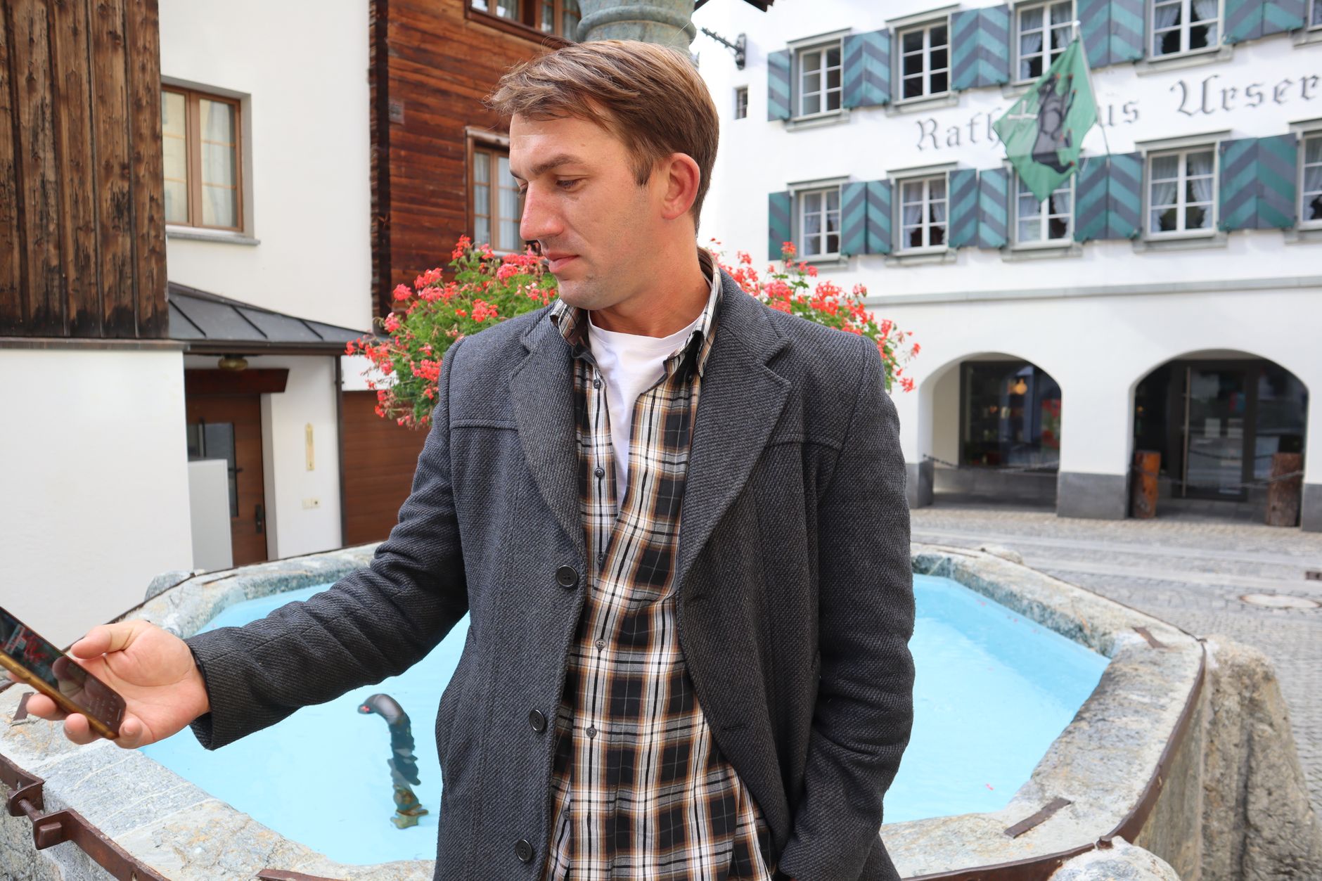
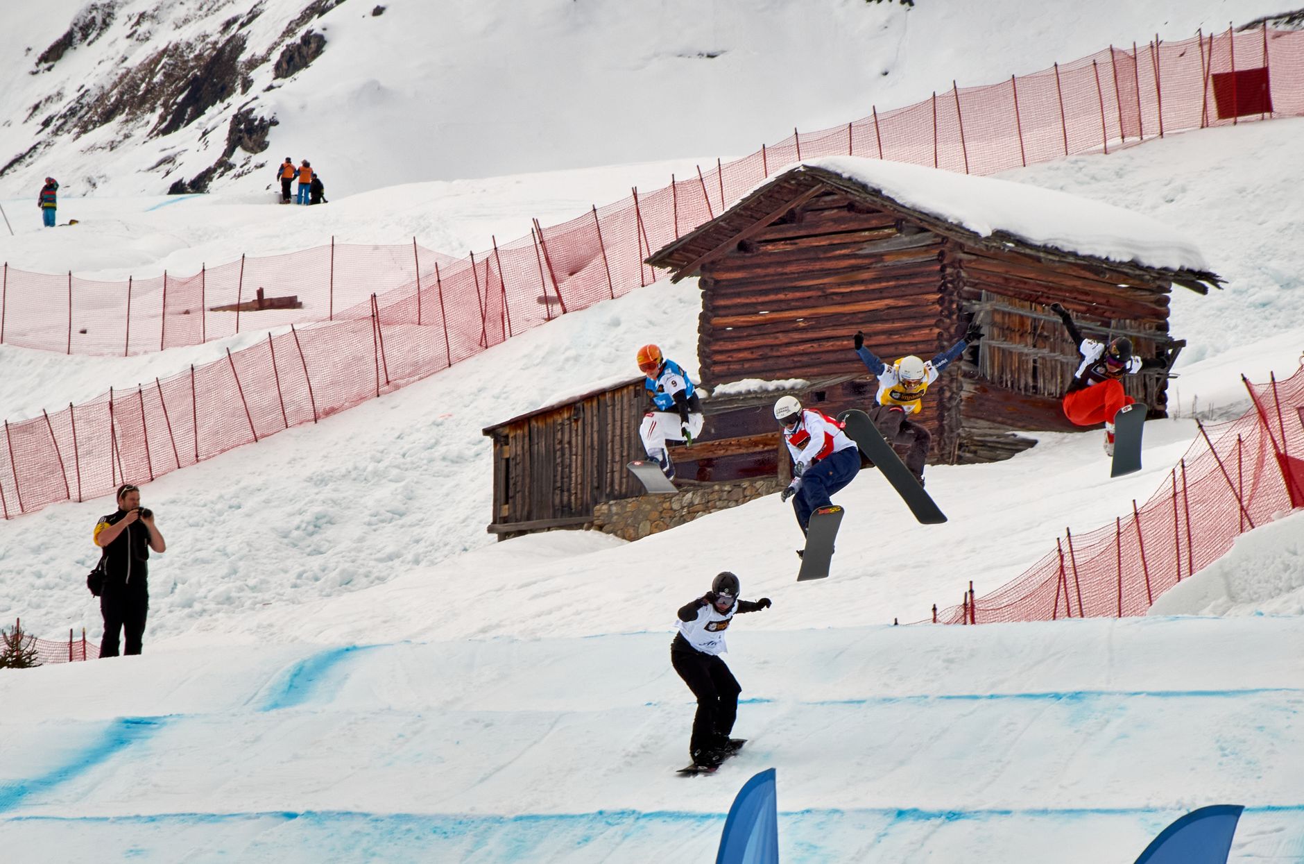
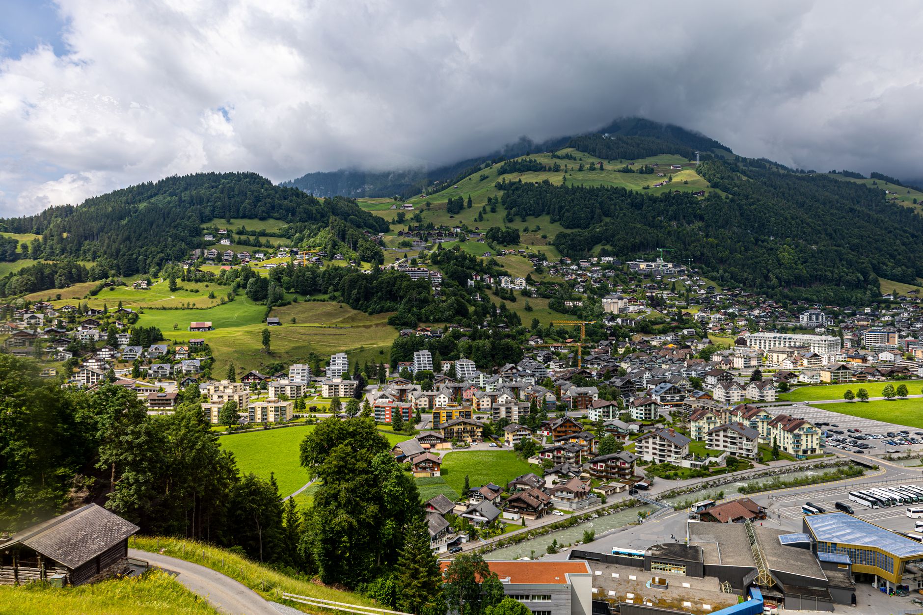
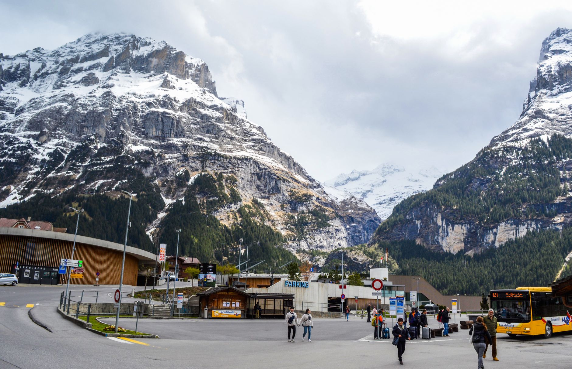
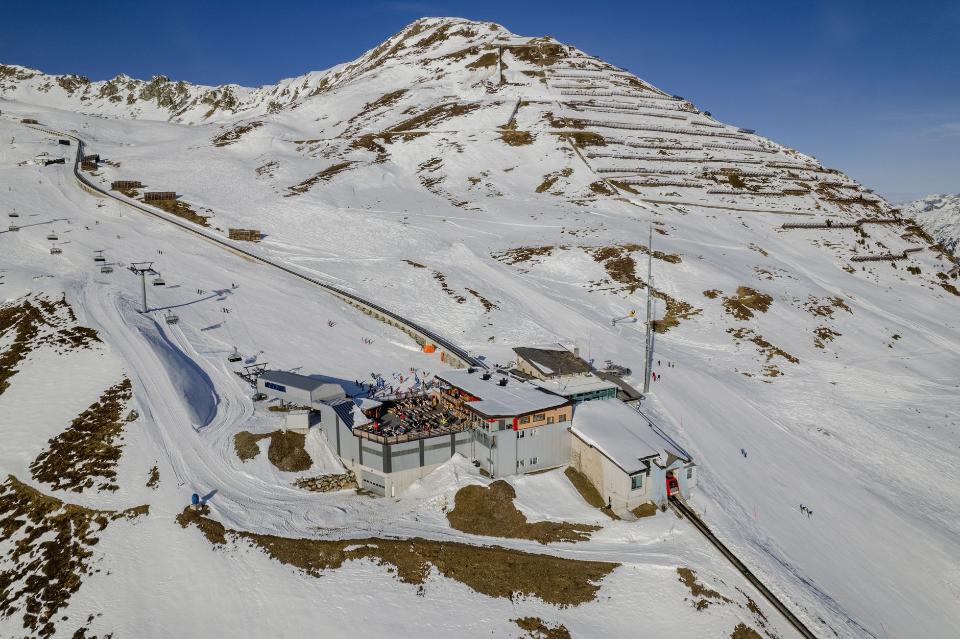
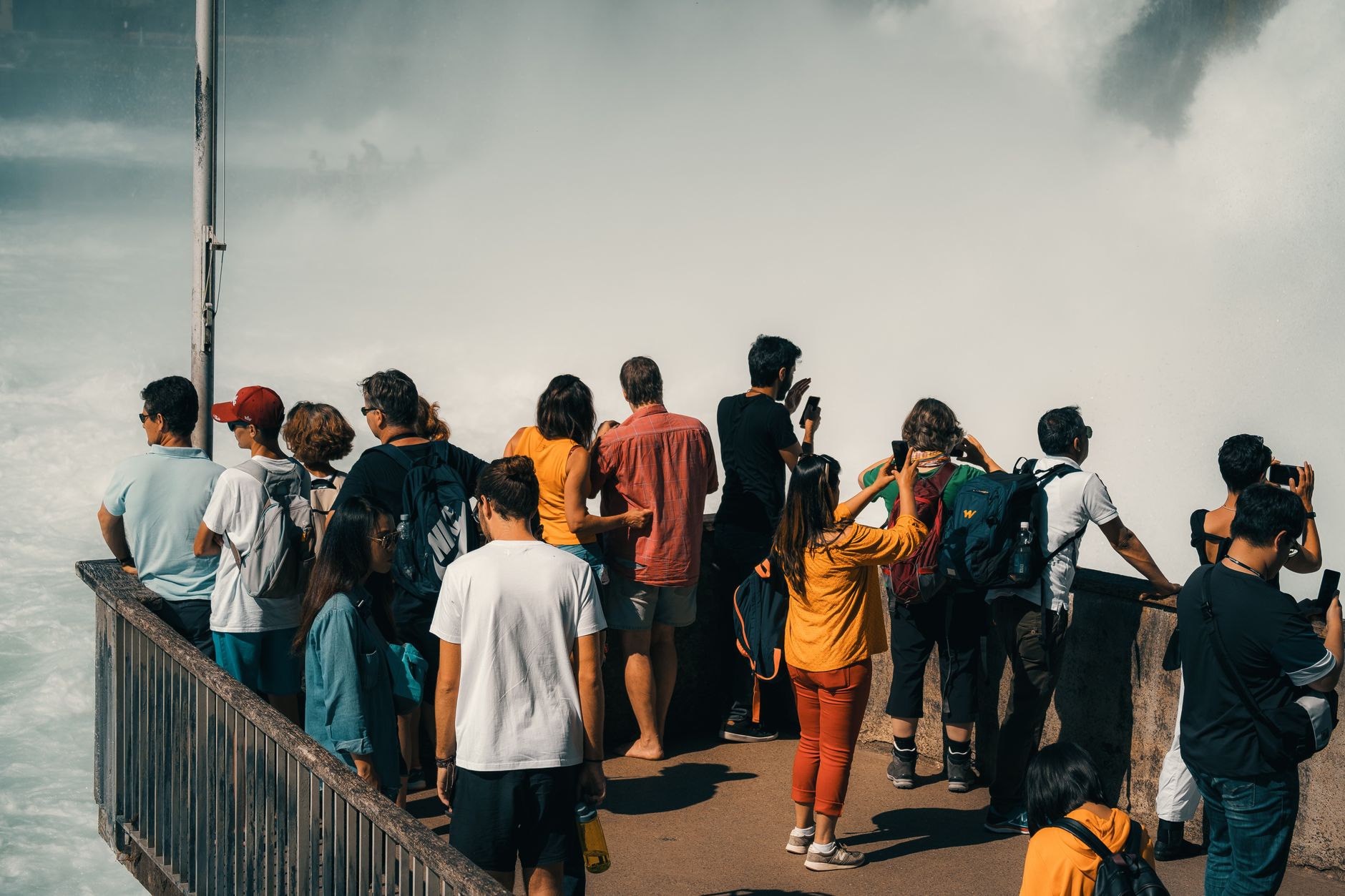
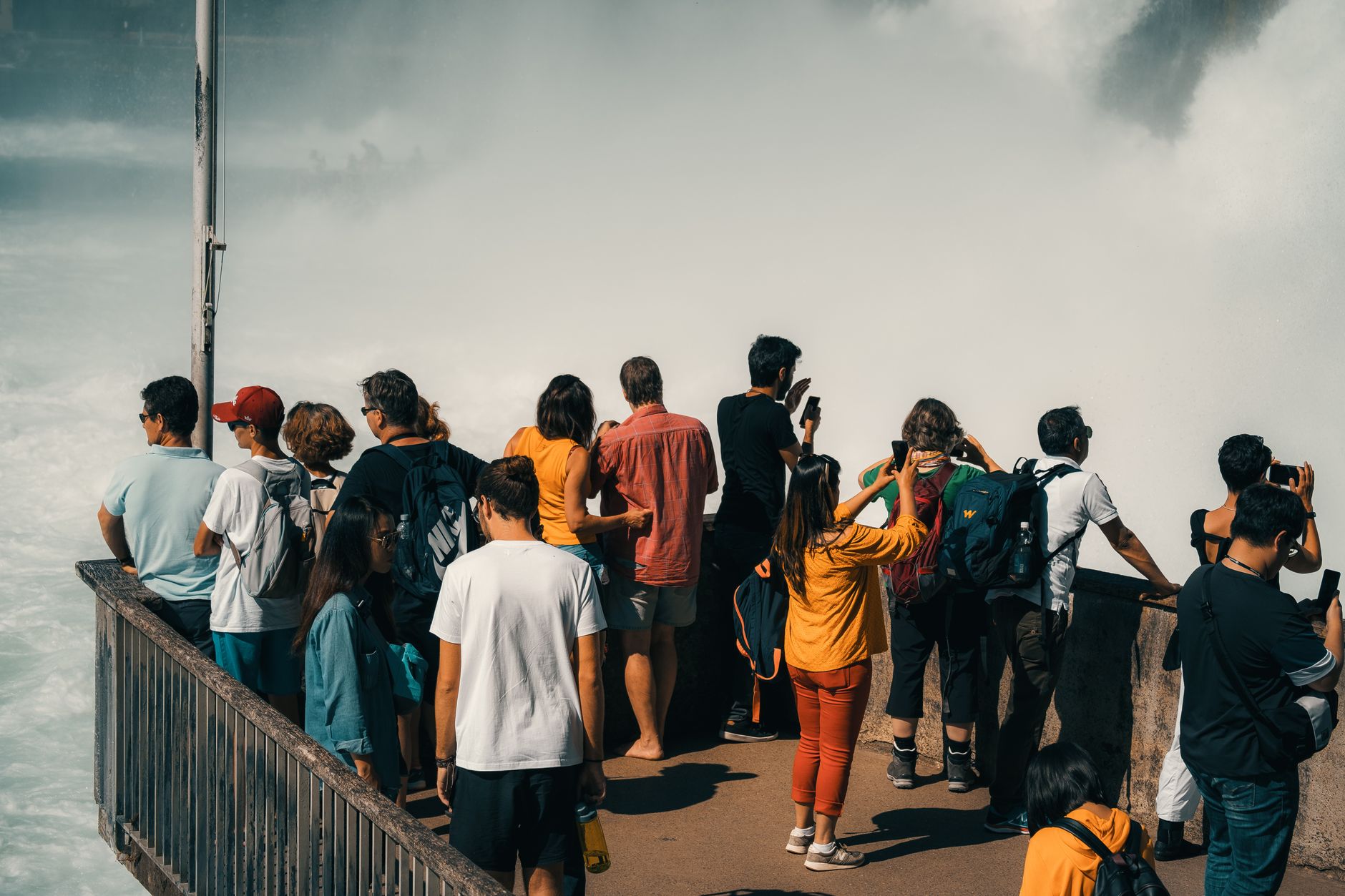
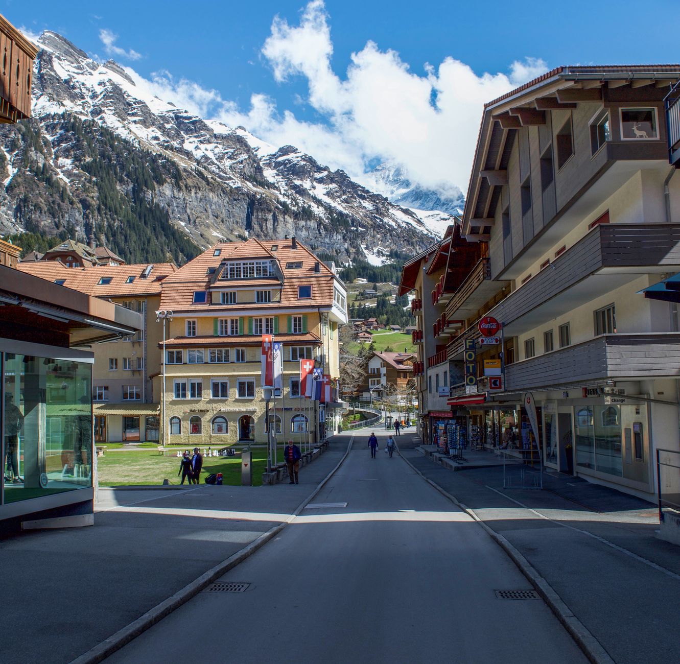
💛 What travellers fall for
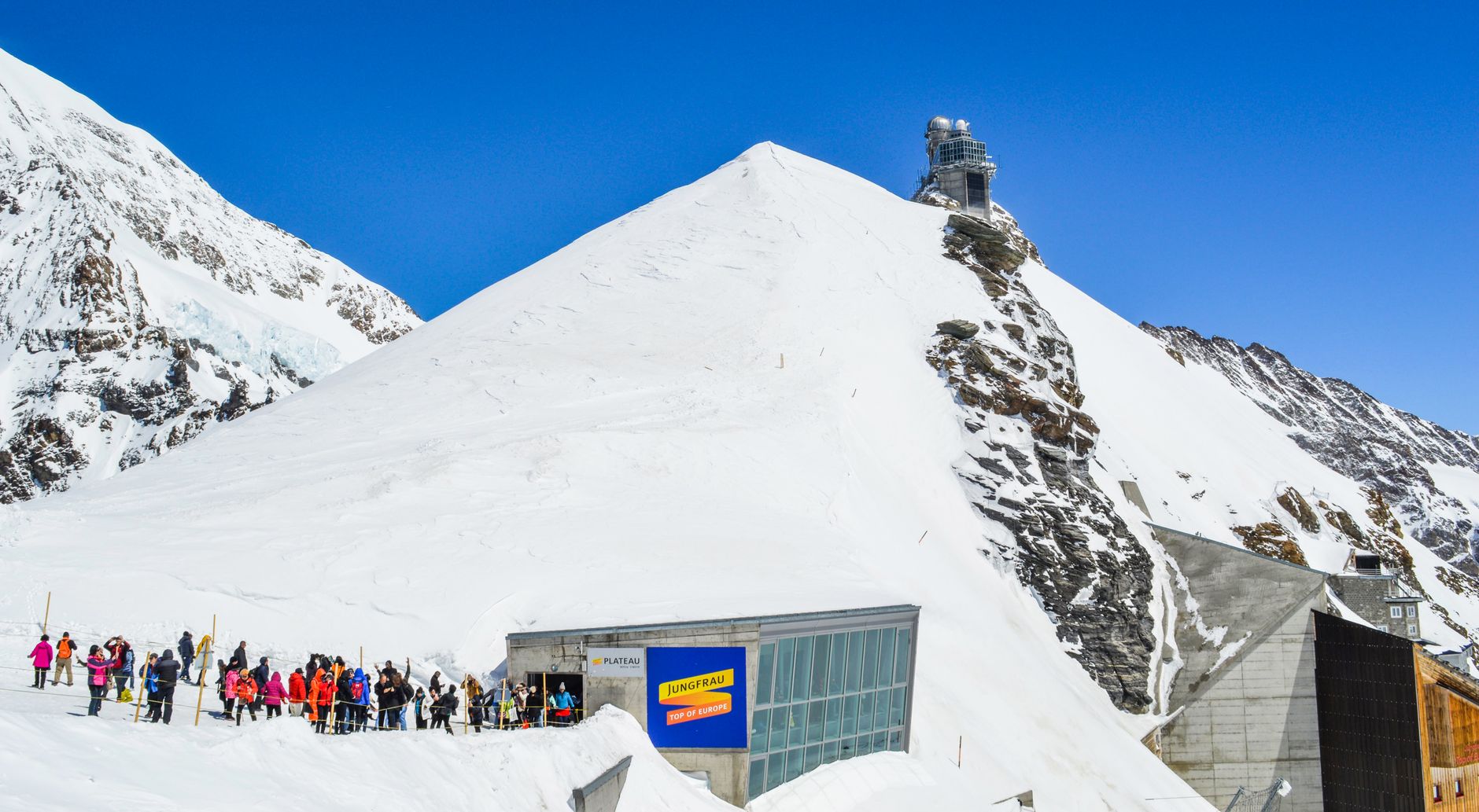
People who return tend to time their visits by elevation. The valley trails are good from late May; the high routes open up properly in July. The Pilatus cogwheel line — steepest in the world at a 48% maximum gradient — is worth taking up and walking a different way down. Jungfraujoch draws crowds; arrive early or go late in the afternoon.
How Swiss Alps, Switzerland came to be
The mountains attracted scientific attention before they attracted tourists. In 1716, physician Johann Jakob Scheuchzer became the first naturalist to publish on the Alps. Later, the Geneva-born naturalist Horace-Bénédict de Saussure spent years studying the glaciers of the Bernese Oberland, the Valais and the Piedmont, and in 1787 joined the third ascent of Mont Blanc. Writers followed: Albrecht von Haller published his poem Die Alpen in 1732, Rousseau made the mountains a site of beauty in his 1761 novel Julie, and Goethe, Turner and Wordsworth all came in the Romantic wave.
The infrastructure of Alpine tourism was built deliberately and fast. Hotels and mountain huts appeared in the mid-nineteenth century alongside the founding of the Swiss Alpine Club in 1863. The Rigi railway opened in 1873, Pilatus in 1889, Gornergrat in 1898. The Jungfraubahn — leading to the highest railway station in Europe at Jungfraujoch — opened in 1912, a project that took sixteen years to complete.
Who and what shaped it
People who shaped it
Landmark buildings
See Swiss Alps, Switzerland in motion
Plan your visit
On the map
When to go
July and August bring the most reliable conditions, with valley temperatures between 18 and 28°C; above the tree line it stays cooler year-round, and temperature drops roughly one degree Celsius for every 200 metres of elevation gain. Spring and autumn sit in the 8–15°C range — good for walking, unpredictable for high passes. Winter valleys can hover just below freezing while the peaks above are in heavy snow.
Right now
↡ Cities
Background & history adapted from Wikipedia (CC BY-SA) · specs from Wikidata (CC0) · weather from Open-Meteo · map data © OpenStreetMap contributors · photos from Wikimedia Commons / Unsplash with per-image credit. No third-party reviews or social posts reproduced.