
Verbier
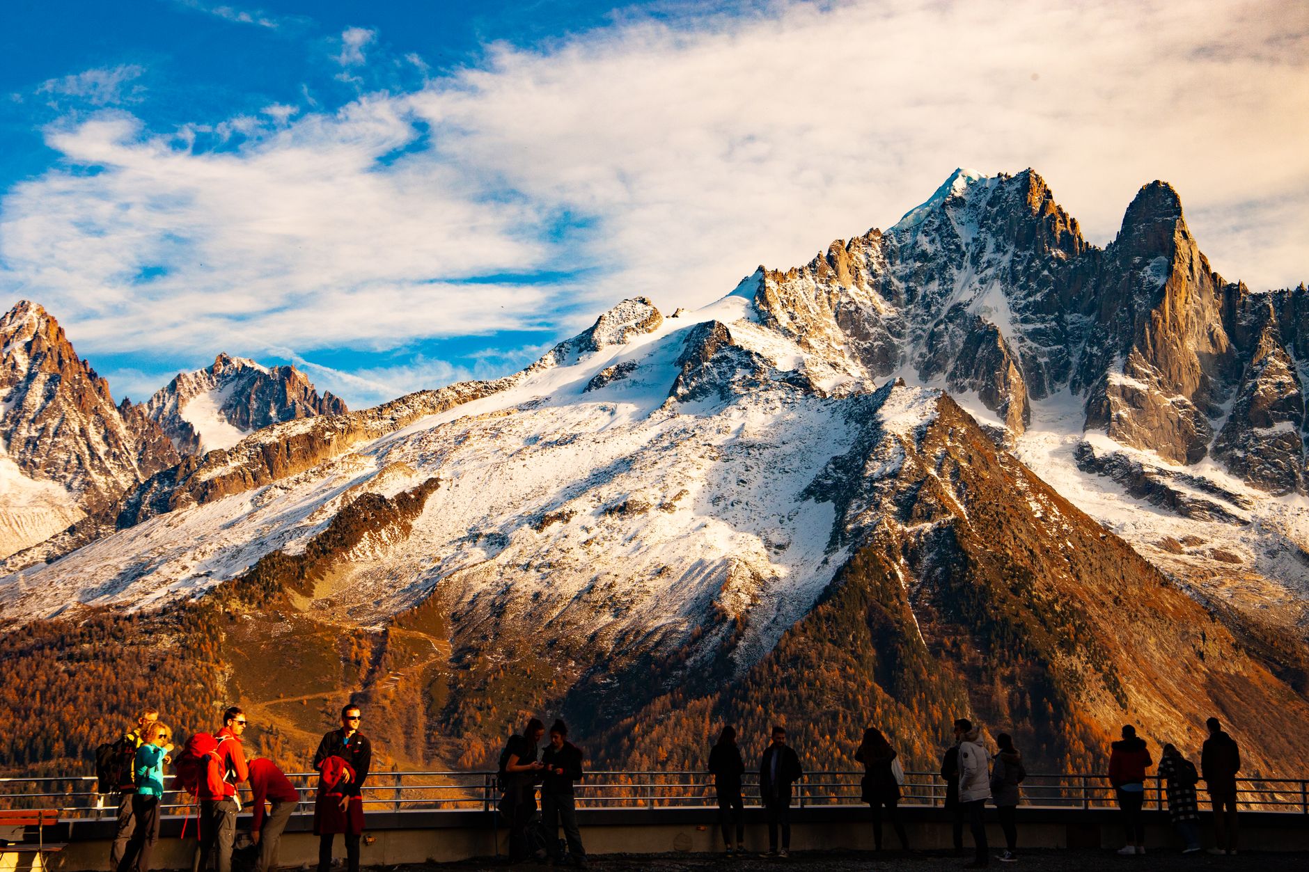
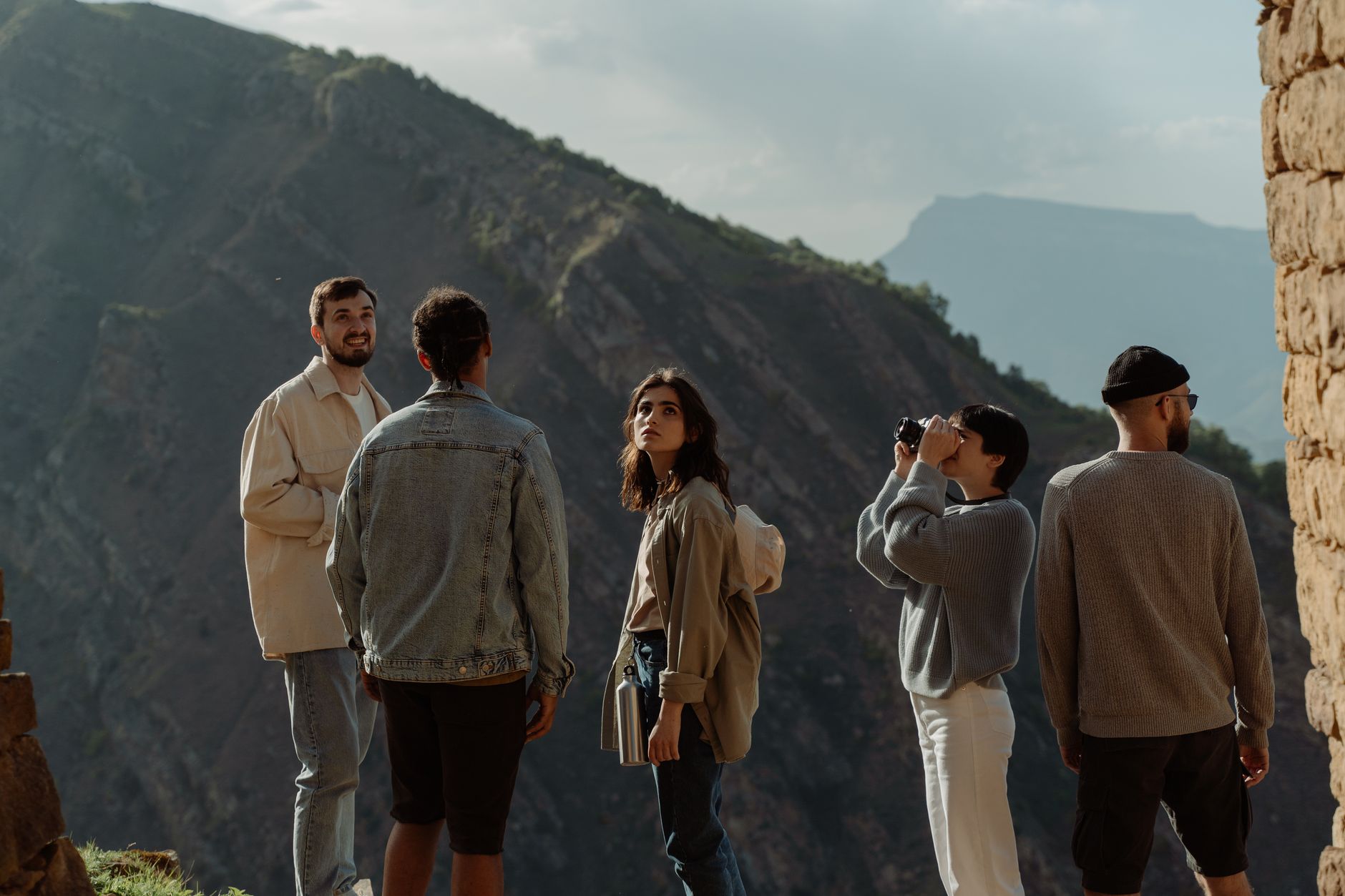
At 1,500 metres above the Bagnes valley, Verbier sits on a south-facing shelf of mountain that catches the afternoon light long after the valleys below have gone grey. The terrain is the point: Mont Fort tops out at 3,330 metres, and on a clear day from the summit you can pick out the Matterhorn, Mont Blanc and the Grand Combin in a single slow sweep.
The resort runs on a scale that rewards time. Four distinct sectors — Médran, Savoleyres, Mont Fort and Bruson across the valley — mean you can ski for days without repeating a run. In summer, the same cable cars carry hikers and mountain bikers up through the Haut Val de Bagnes to terrain that most visitors never see.
💛 What travellers fall for
Regulars tend to mention the same sequence: take the gondola from Le Châble early, before the village wakes, and get to Mont Fort before 10am when the light is still low and the snow untracked. The 30% rail discount on day passes is worth knowing if you arrive by train — it adds up across a week.
Deals in Verbier
Book directly at the provider

How Verbier came to be
Before 1925, Verbier was a farming hamlet — summer pastures, cow bells, the Oreiller forge turning out cowbells in a workshop that still stands today as a historical monument. That year, a group of mountaineers walked 15 kilometres from Sembrancher and skied back down, and the idea of a resort began to take shape. The road from Le Châble arrived in 1935; by 1949 it had reached the village itself.
The Télésiège de Médran SA lift company was founded in 1950 and the first ski lift opened in 1951. Through the 1960s, the Tortin-Chassoure gondola was built and the Savoleyres area fully equipped — the decade that turned a small agricultural village into one of the Alps' major resorts. The Verbier Festival, a classical music gathering drawing prestigious international artists, was founded in 1994 and has run every summer since.
Who and what shaped it
People who shaped it
Landmark buildings
See Verbier in motion
Plan your visit
On the map
When to go
Winter runs November through April: snow depth around 200 centimetres at peak, with north-facing slopes and glacier access keeping conditions reliable well into spring. Summer brings warm days at altitude and cool evenings — a genuine second season for walking and cycling, not just an afterthought.
Right now
Background & history adapted from Wikipedia (CC BY-SA) · specs from Wikidata (CC0) · weather from Open-Meteo · map data © OpenStreetMap contributors · photos from Wikimedia Commons / Unsplash with per-image credit. No third-party reviews or social posts reproduced.