
Saxon Switzerland
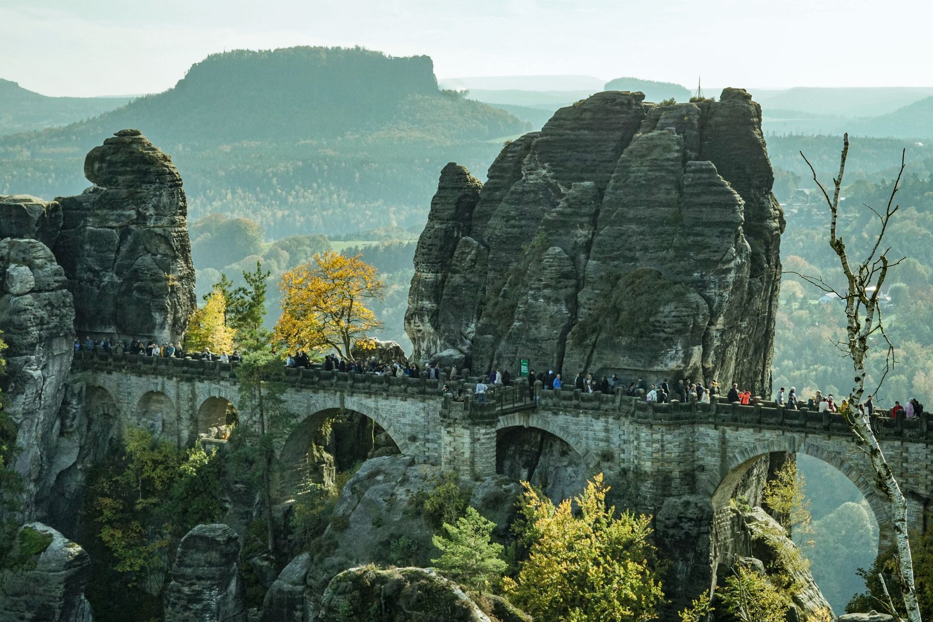
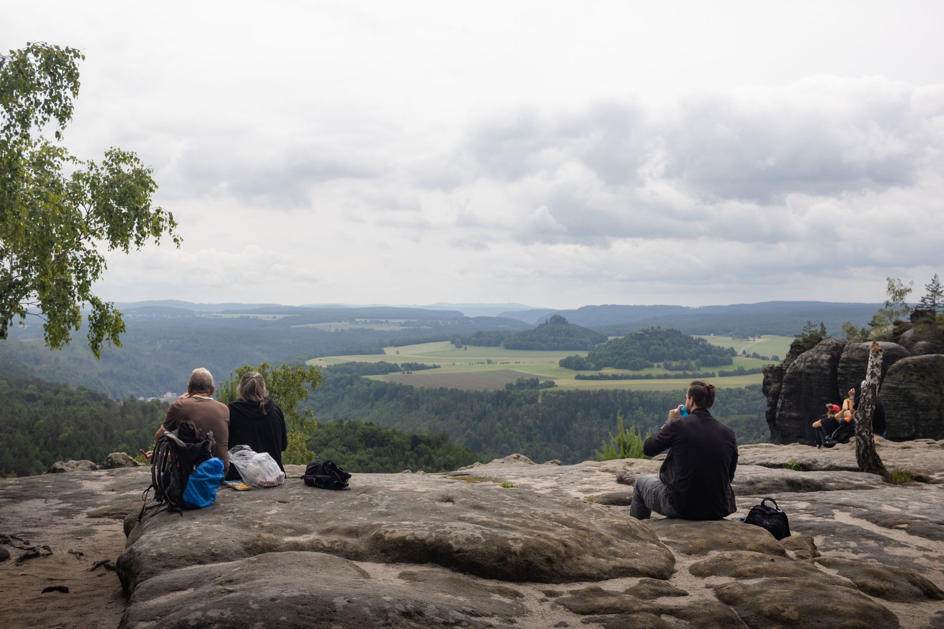
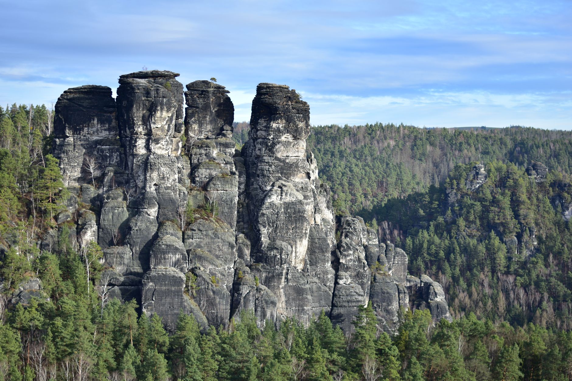
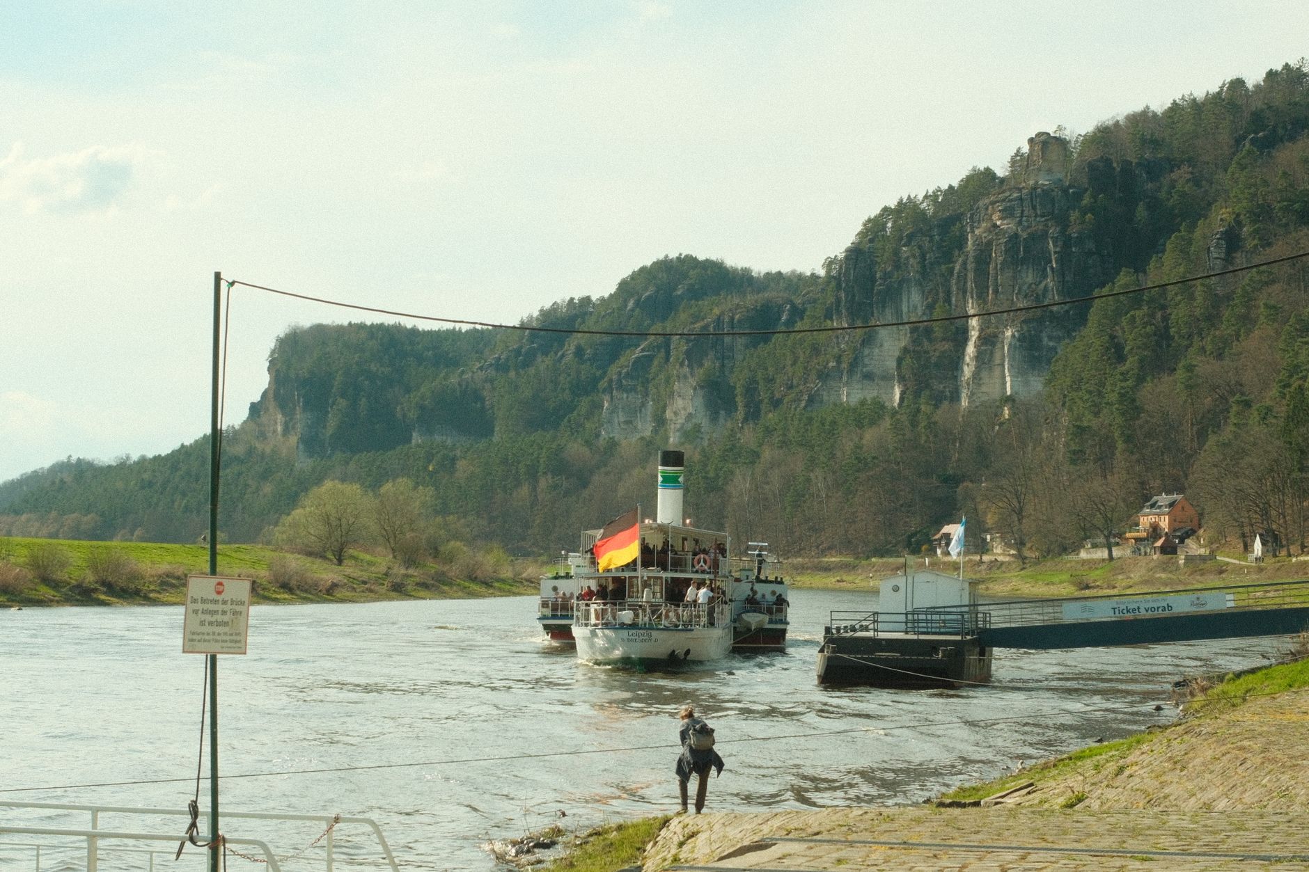
The name alone is a borrowing — two Swiss artists, newly arrived in Dresden in the late 18th century, looked east toward a sandstone plateau and saw something that reminded them of home. What they were looking at was the Elbe Sandstone Mountains: a landscape of flat-topped mesas rising abruptly from river valleys, rock arches worn smooth by millennia of water, and beech forest pressing in at every edge.
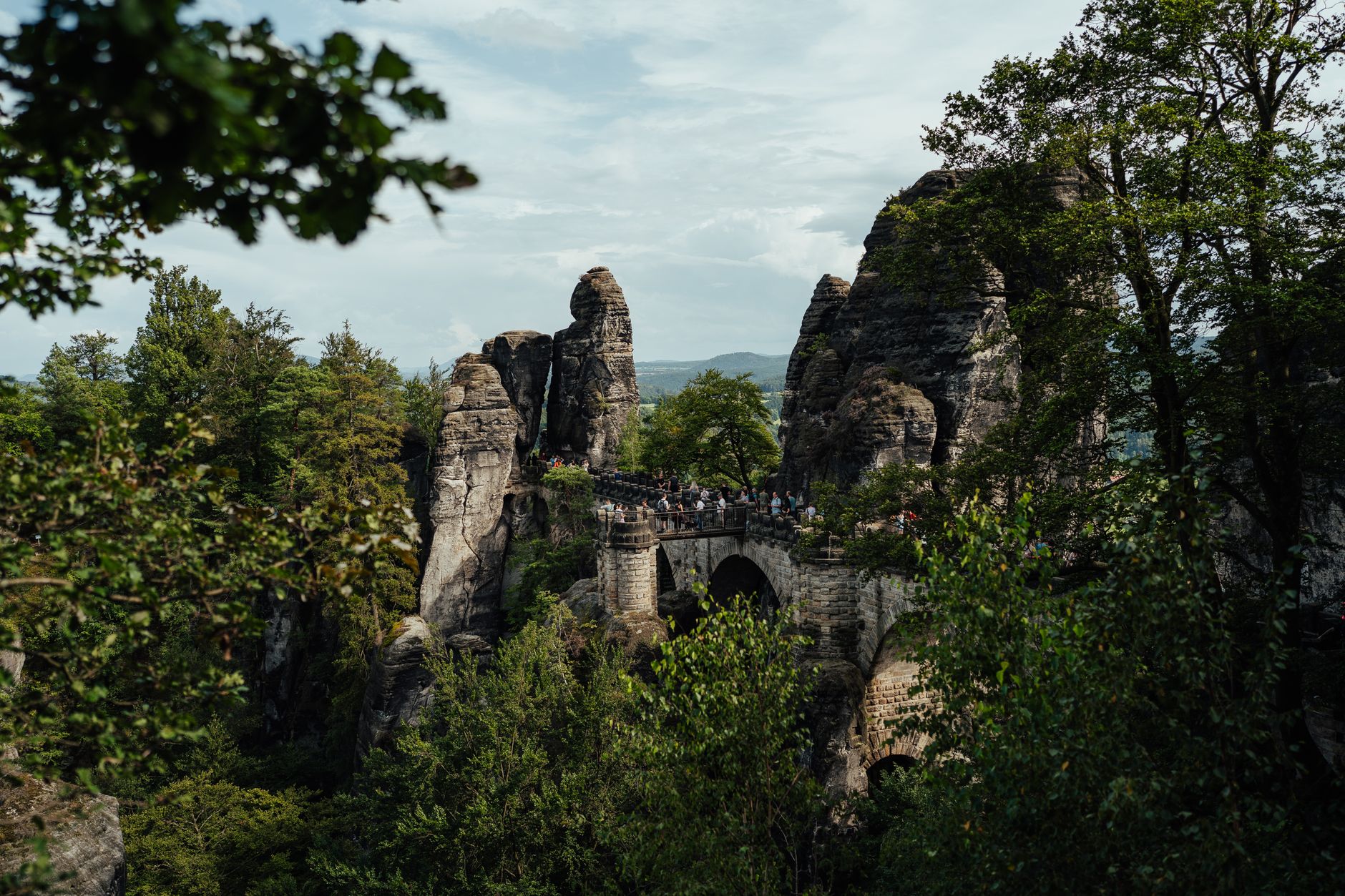
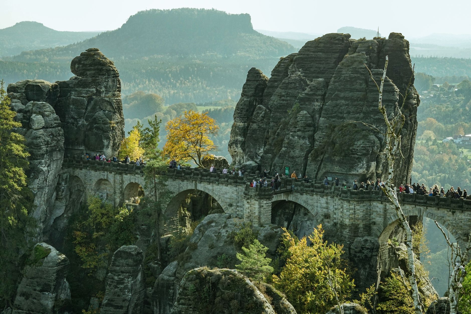
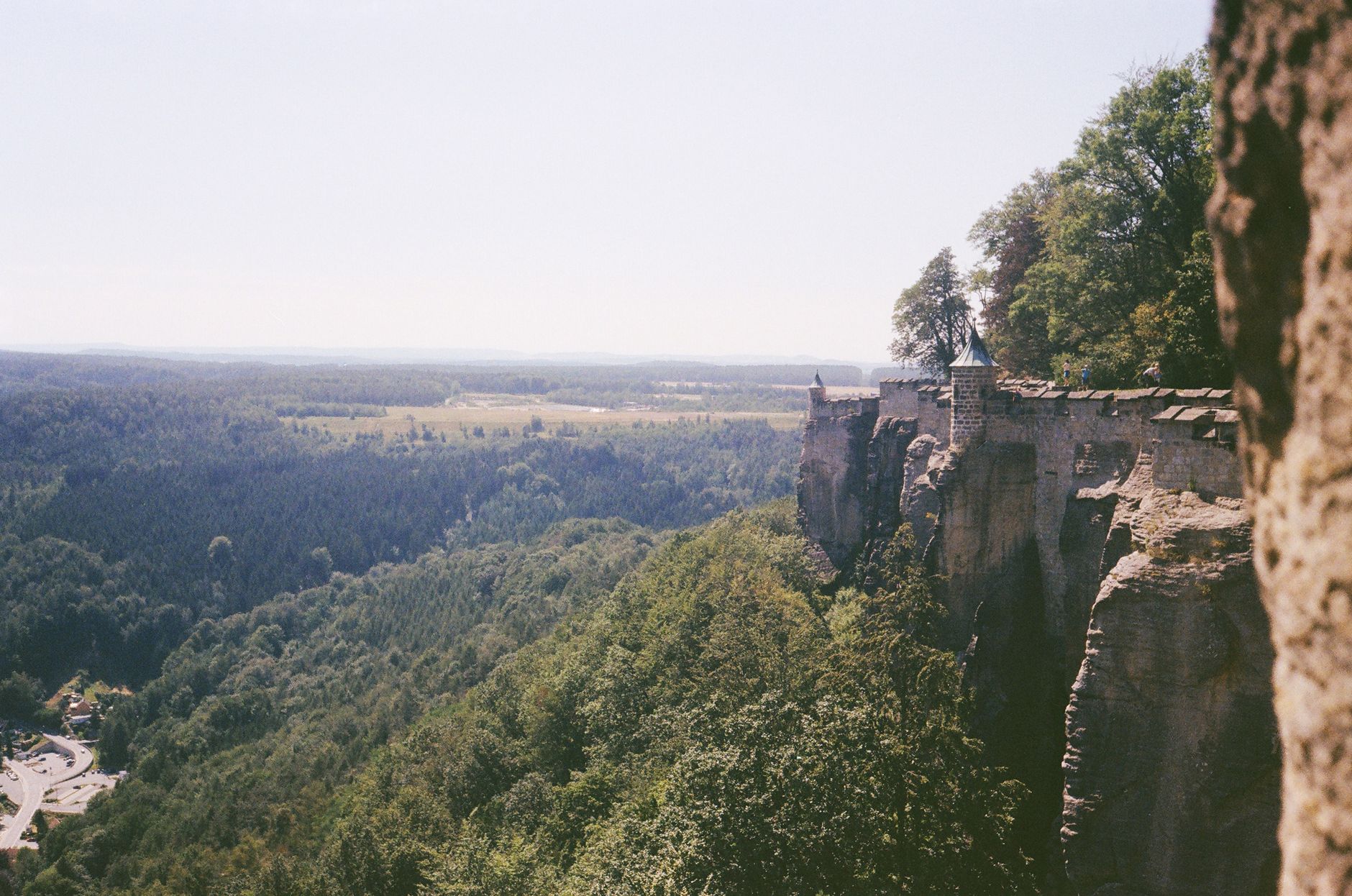
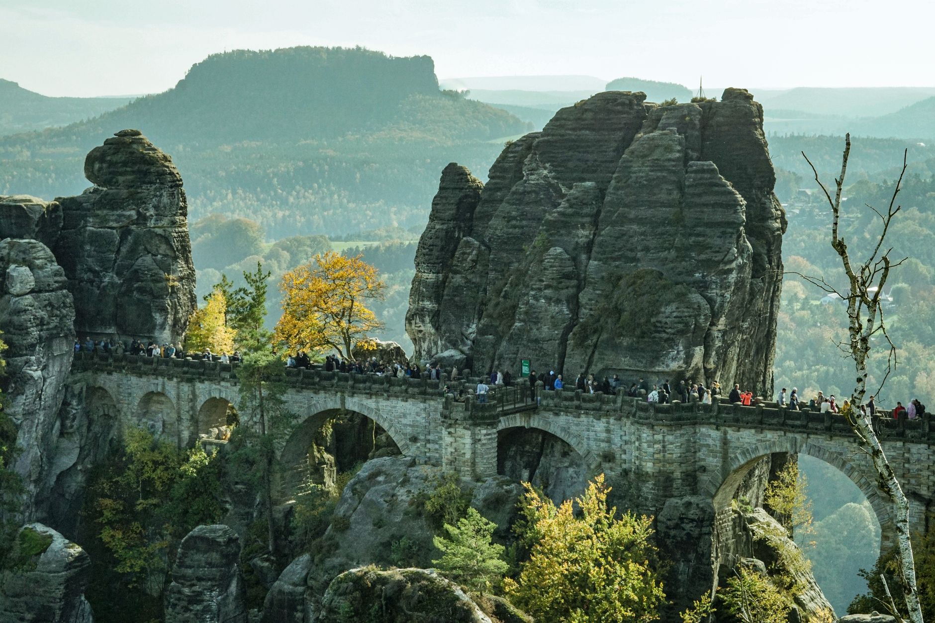
Saxon Switzerland is a region of vertical drama. The Bastei Bridge hangs 194 metres above the Elbe, connecting bare rock pinnacles. Königstein Fortress occupies an entire mesa, its ramparts stretching nearly two kilometres. The national park, established in 1990, covers 93 square kilometres split between the area near Rathen and the wilder hinterland running to the Czech border.
Popular cities in Saxon Switzerland
💛 What travellers fall for
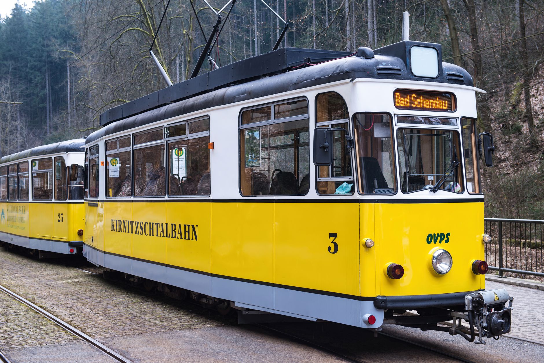
People who come back tend to arrive by S-Bahn from Dresden — the S1 line, which runs every thirty minutes and drops you right into the landscape — and pick a different trailhead each time. The Kirnitzschtal tram from Bad Schandau, running since 1898, is worth riding for its own sake before you've walked a single step.
How Saxon Switzerland came to be
The land was Slavic borderland for centuries — roughly a thousand years ago it marked the territory of three Slavic tribes — before passing through the Kingdom of Bohemia and eventually into Saxon hands during the 15th century as part of the Margraviate of Meissen. Königstein Fortress, whose 750-year history includes the imprisonment of alchemist Johann Friedrich Böttger in 1706–1707, stands as the most legible chapter of that political past.
The area's identity as a destination, though, is a Romantic invention. The Swiss painters Adrian Zingg and Anton Graff, appointed to the Dresden Academy of Art in 1766, gave the region its name. Writer Wilhelm Lebrecht Götzinger spread it. Caspar David Friedrich and Ludwig Richter painted the rock formations; Carl Maria von Weber set the Wolf's Gorge scene of Der Freischütz near Rathen. Tourism followed art, and by 1901 a trolleybus was already running through the Biela Valley.
Who and what shaped it
People who shaped it
Landmark buildings
See Saxon Switzerland in motion
Plan your visit
On the map
When to go
Summers are warm enough for long days on the trails but the sandstone paths can get crowded from July onward. Spring brings fresh green to the beech forest and manageable temperatures; autumn turns the woodland rust and gold, with cooler air and fewer people on the mesa tops. Winter is quiet and occasionally snowbound, which changes the rock formations entirely.
Right now
↡ Cities
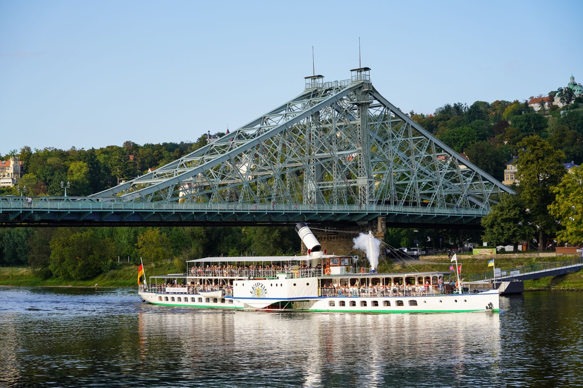
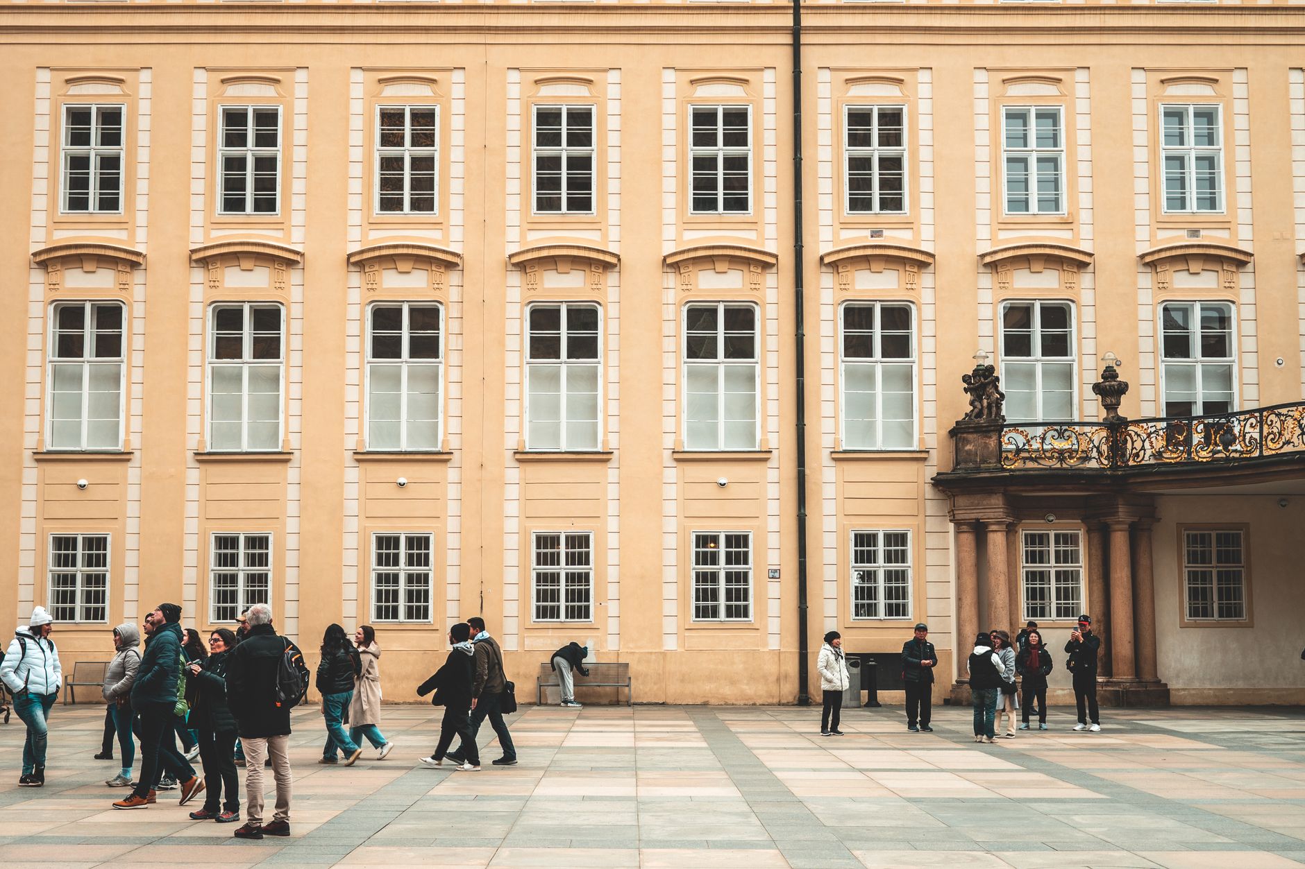
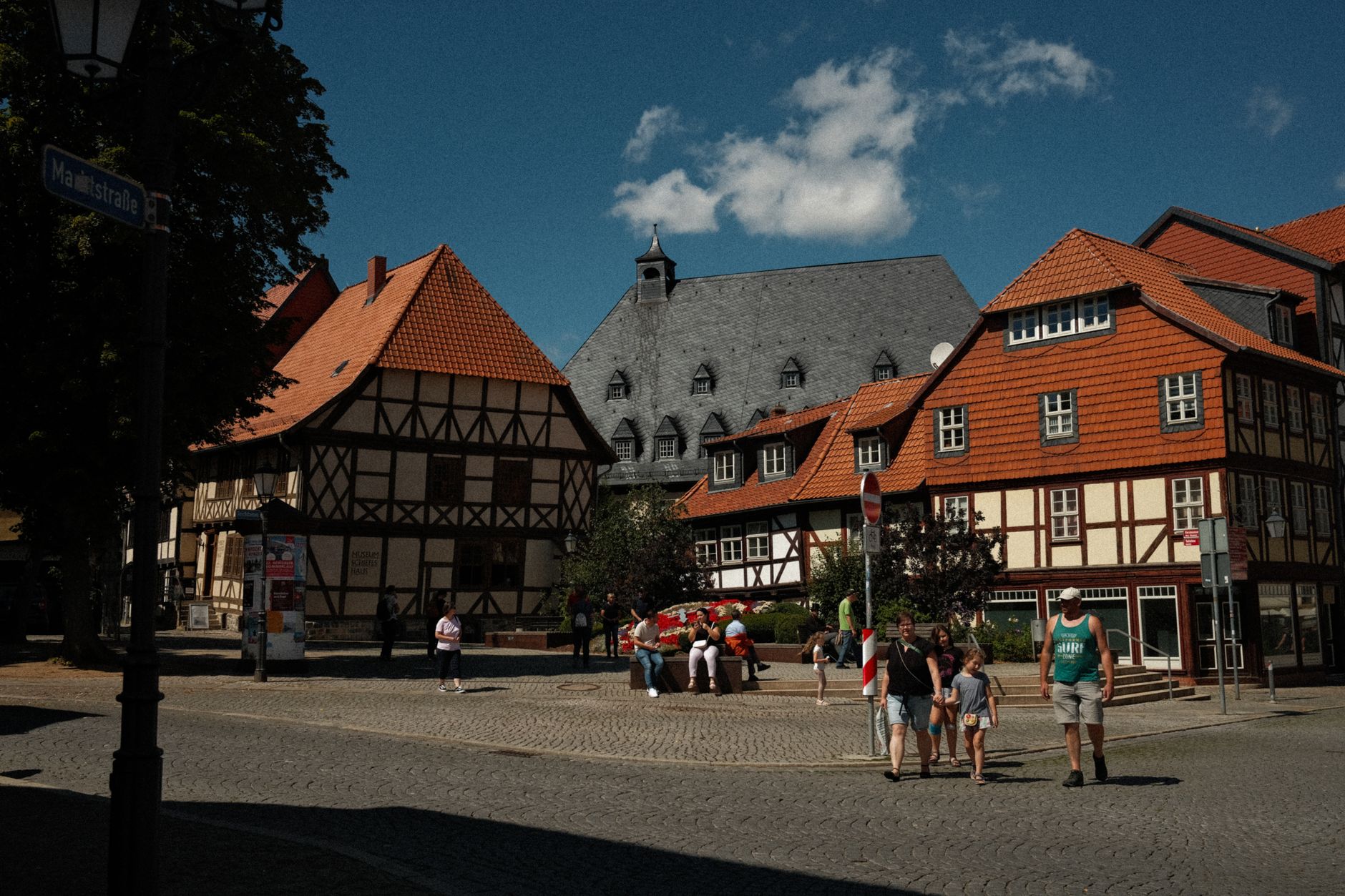
Background & history adapted from Wikipedia (CC BY-SA) · specs from Wikidata (CC0) · weather from Open-Meteo · map data © OpenStreetMap contributors · photos from Wikimedia Commons / Unsplash with per-image credit. No third-party reviews or social posts reproduced.