
Bad Schandau
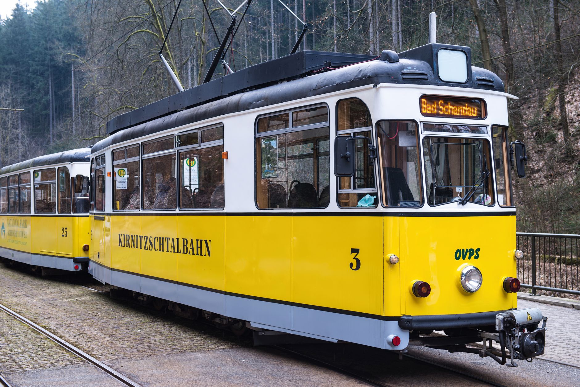
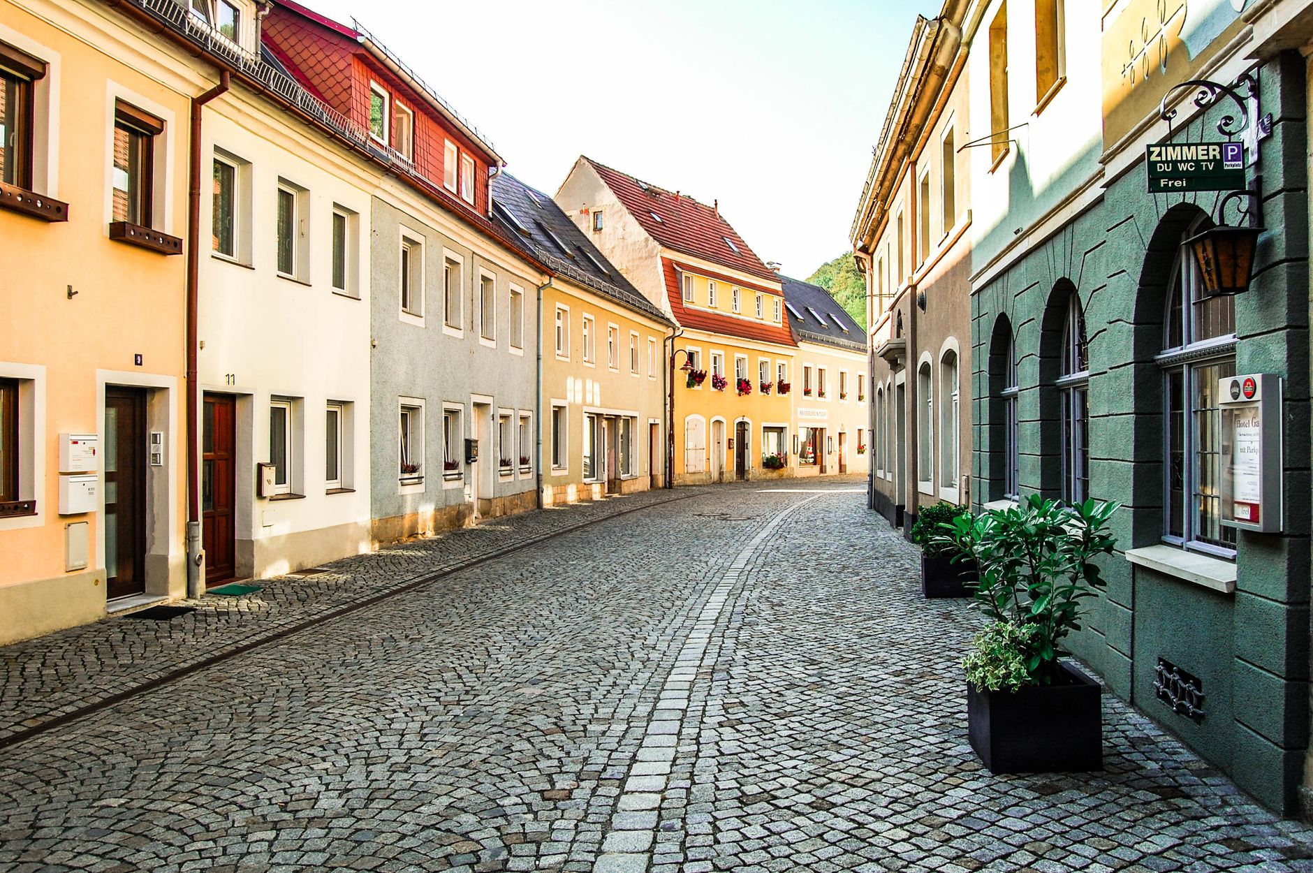
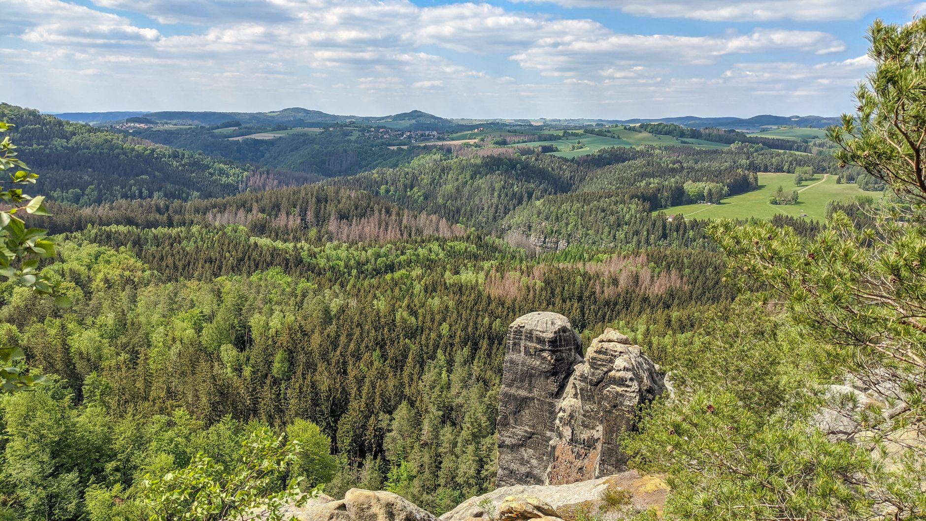
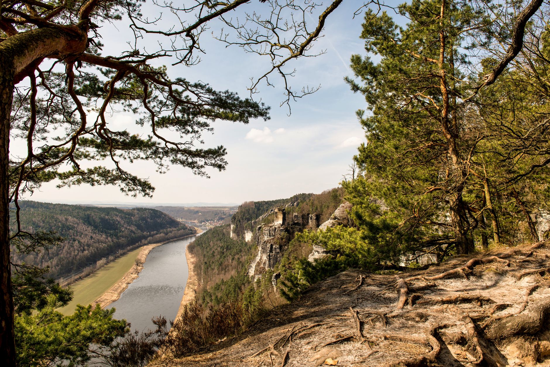
Bad Schandau sits at the point where the Elbe bends through the sandstone cliffs of Saxon Switzerland, and the first thing you notice is the scale — rock faces rising directly from the riverbank, the old spa quarter pressed between water and forest. The town is small enough to cross on foot in twenty minutes, yet it runs its own tram line, an 8-kilometre track that follows the Kirnitzsch valley to a waterfall and has been doing so since 1898.
A 50-metre riveted iron elevator connects the lower town to the hillside village of Ostrau above — built in 1904 by two local firms, opened on Easter Sunday 1905, and still the most direct way to understand the town's vertical geography.
💛 What travellers fall for
People who come back tend to time an early morning ride on the Kirnitzschtal tram before the day hikers arrive, then walk part of the valley on foot. The ferry crossing from the train station to the town centre is not an inconvenience — it's two minutes on the water and a decent way to arrive. The botanical garden at the valley entrance, with over 1,500 species in a compact 3,500 m², rewards a slow hour.
Experiences you don't want to miss


Deals in Bad Schandau
Book directly at the providerHow Bad Schandau came to be
German settlers established a trading post on the Elbe meadows in the first half of the 14th century, acquiring land from the feudal estate of Hohnstein. Schandau appears in records from 1445 and received town status in 1467, recognised as a trading site on the river. The shift toward its present character came in 1680, when a mineral spring was discovered in the Kirnitzschtal. The first bathhouse followed in 1799.
The arrival of the first steamboat in 1837 opened the town to a wider travelling public, and the Carola Bridge gave it a permanent river crossing in 1877. The official designation 'Bad' came in 1920. The Elbe has flooded the town severely — in 1845, 2002, and 2006 — each time reshaping parts of the waterfront.
Who and what shaped it
People who shaped it
Landmark buildings
See Bad Schandau in motion
Plan your visit
On the map
When to go
Summers are warm and sometimes humid, with the valley trails at their greenest from May through September. Winters are cold and can bring mist along the river, but the sandstone formations hold their drama year-round.
Right now
Background & history adapted from Wikipedia (CC BY-SA) · specs from Wikidata (CC0) · weather from Open-Meteo · map data © OpenStreetMap contributors · photos from Wikimedia Commons / Unsplash with per-image credit. No third-party reviews or social posts reproduced.