
Neustadt in Sachsen
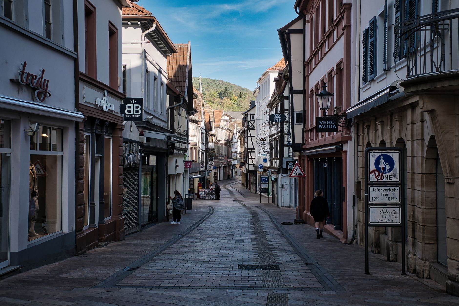
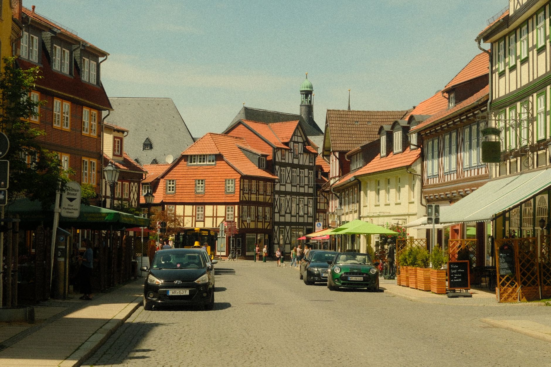
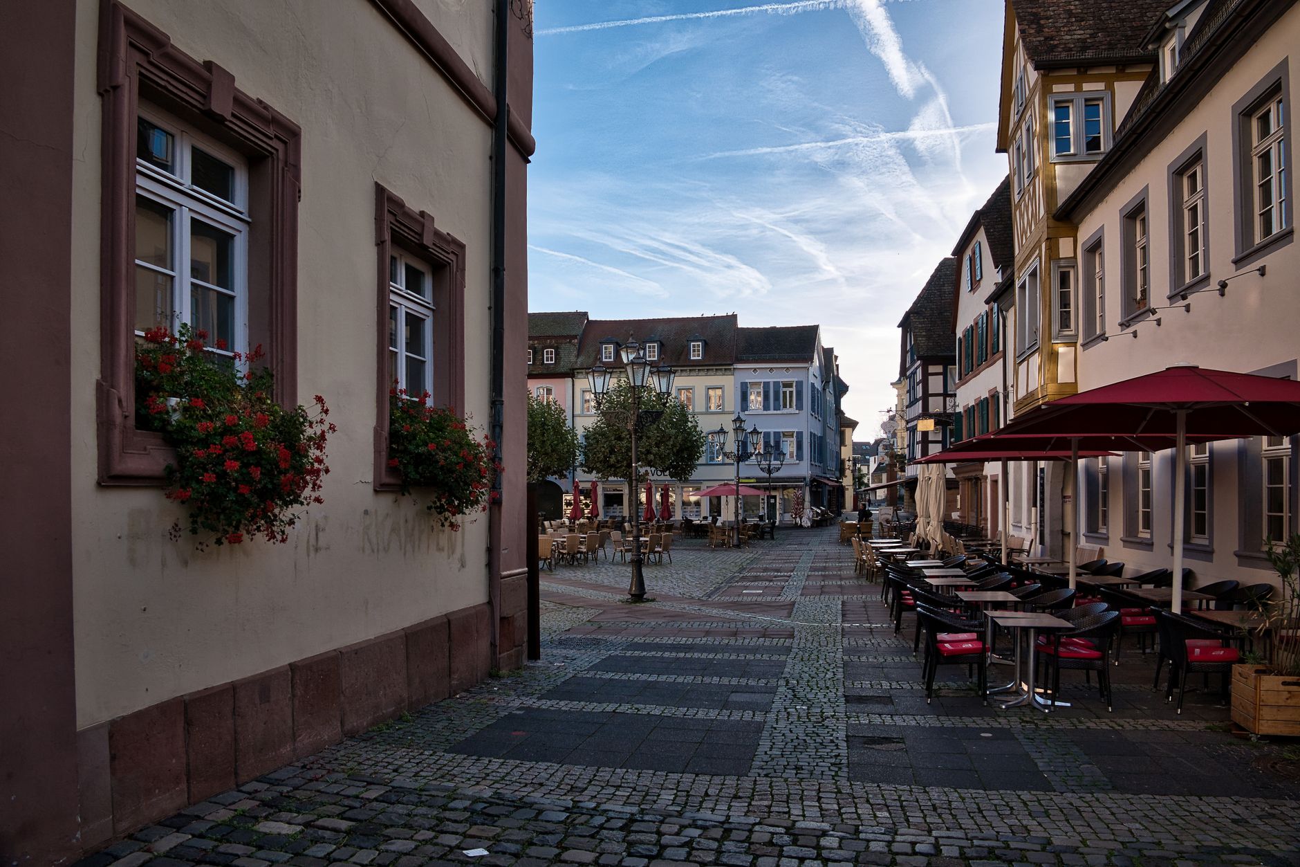
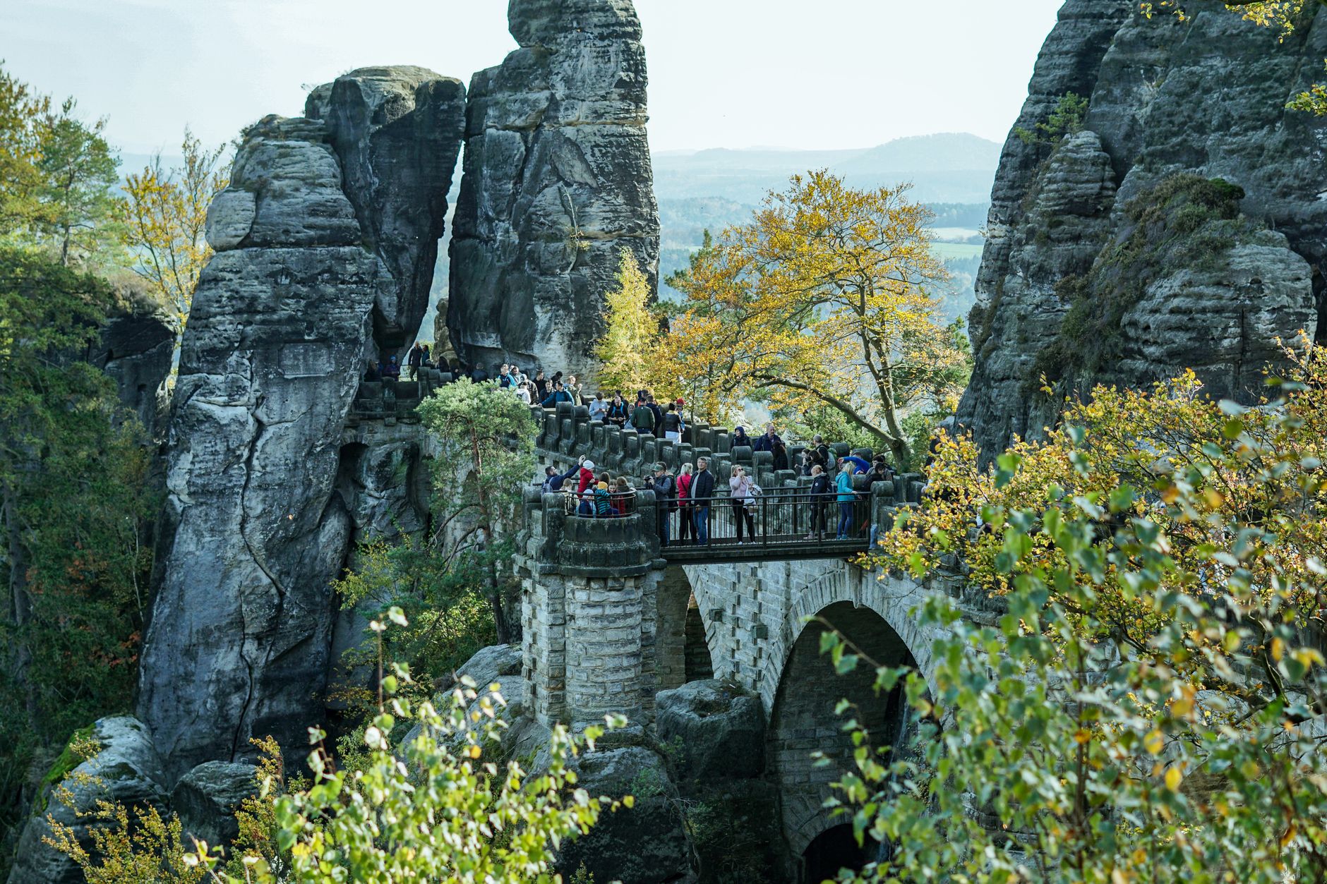
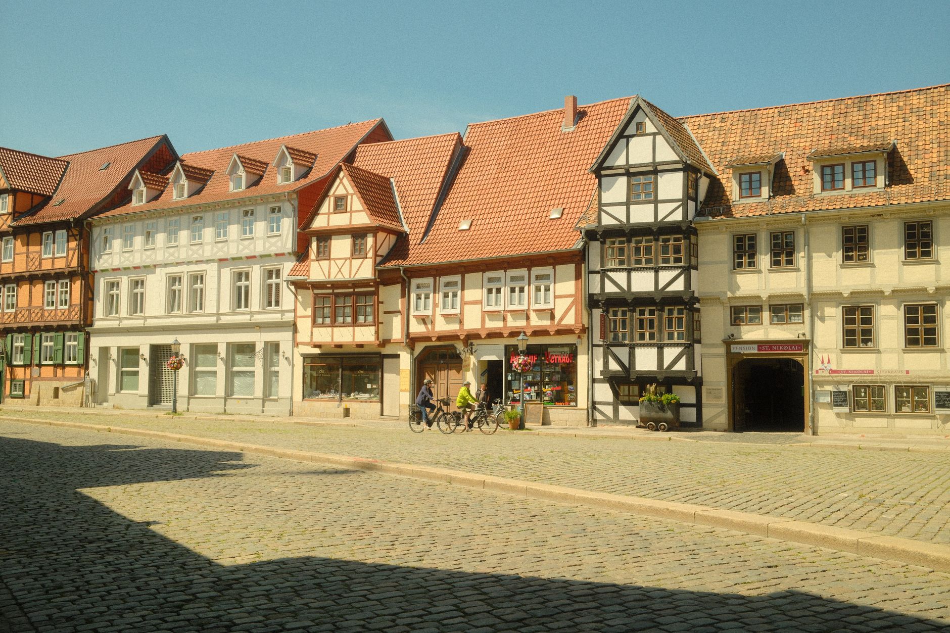
The market square in Neustadt in Sachsen holds a 1729 Saxon milepost, a town hall that has stood for roughly three centuries, and a bronze cattle-market fountain — and together they tell you most of what you need to know about the town's character: unhurried, rooted, quietly proud of its own timeline. This is a working Saxon town rather than a tourist set-piece, which is exactly why it repays a slower look.
Neustadt sits at the northern edge of Saxon Switzerland, close enough to the sandstone country that the Götzinger Höhe observation tower — one of the oldest lattice towers of its kind in the world — looks out over ridgelines you can walk to by afternoon. The town is a place to base yourself, to eat somewhere local, and to notice the specific texture of a place that has been market town, mining settlement, and industrial centre all in one lifetime.
💛 What travellers fall for
Regulars tend to mention the Arthur-Richter-Park before almost anything else — the ginkgo and tulip tree are genuinely worth the detour, and the park is rarely crowded even in summer. The city museum in the old brewery, with its hands-on gold and mineral exhibit out in Berthelsdorf, earns its afternoon.
Deals in Neustadt in Sachsen
Book directly at the provider

How Neustadt in Sachsen came to be
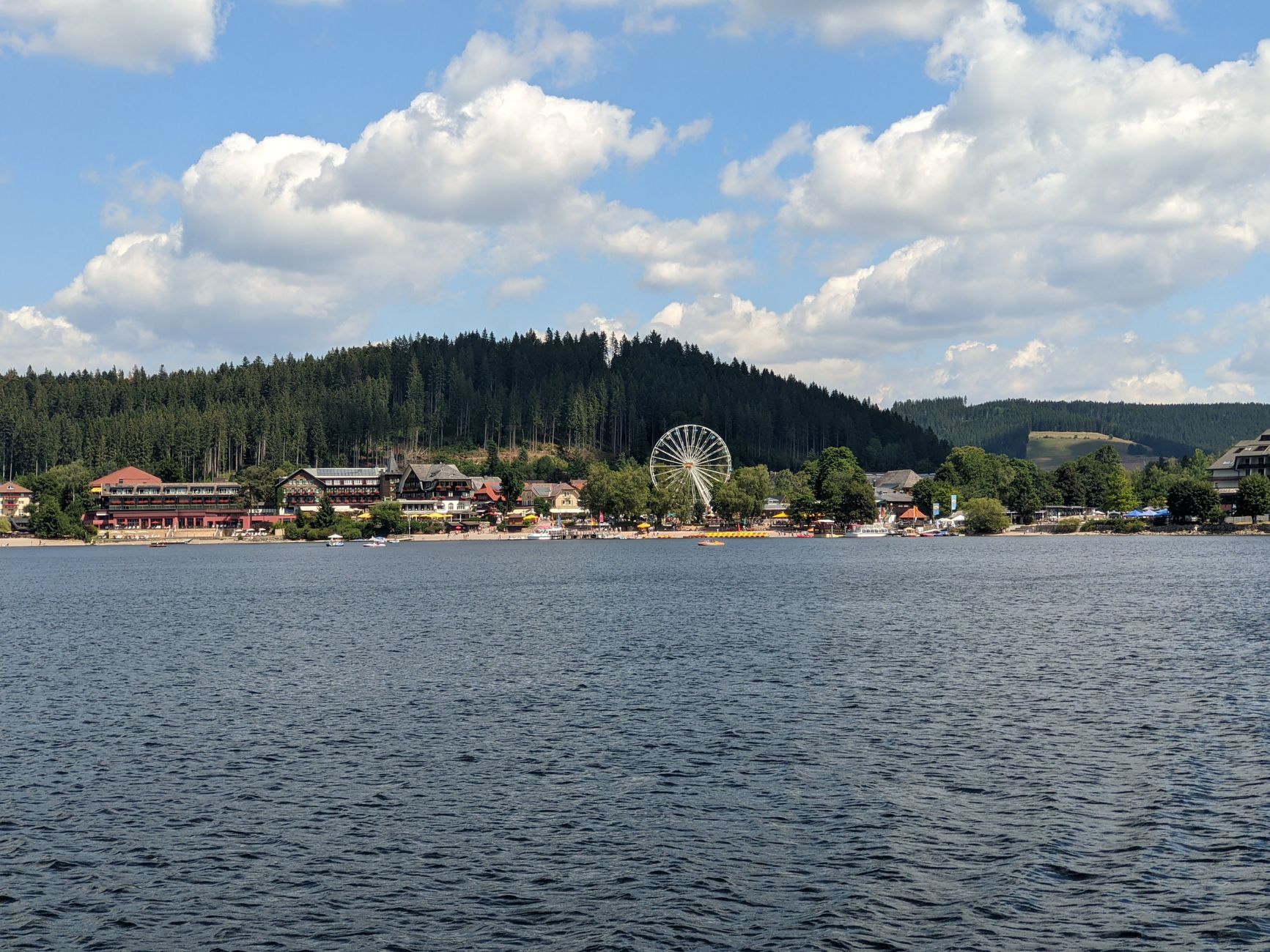
Neustadt was founded in 1333 by miners from Freiberg who came looking for gold. It began life as Nuwenstad under the Bohemian crown, passed in two stages to Saxony — half in 1443, the rest in 1451 — and found its next identity as a stop on the salt trade route running from Halle through Stolpen into Bohemia. The market square and the parsonage built in 1616, the oldest surviving structure in town, are remnants of that mercantile era.
The 19th century brought linen weaving, then artificial flowers, steel, and enamelware. After 1945 — a day that was both liberation and catastrophe, as fire destroyed much of the centre on 8 May — the town rebuilt around agricultural machinery manufacturing, and its population doubled between 1948 and 1984. Reunification in 1990 ended that industrial chapter. What remains is a layered, unvarnished place still sorting out what comes next.
Who and what shaped it
People who shaped it
Landmark buildings
See Neustadt in Sachsen in motion
Plan your visit
On the map
When to go
Summers are mild and green, good for walking to the towers, though afternoon thunderstorms roll through the hills without much warning. Winter brings snow to the Götzinger Höhe, where the slope doubles as a sledding run — the landscape earns its keep in both seasons.
Right now
Background & history adapted from Wikipedia (CC BY-SA) · specs from Wikidata (CC0) · weather from Open-Meteo · map data © OpenStreetMap contributors · photos from Wikimedia Commons / Unsplash with per-image credit. No third-party reviews or social posts reproduced.