
Rhine Valley
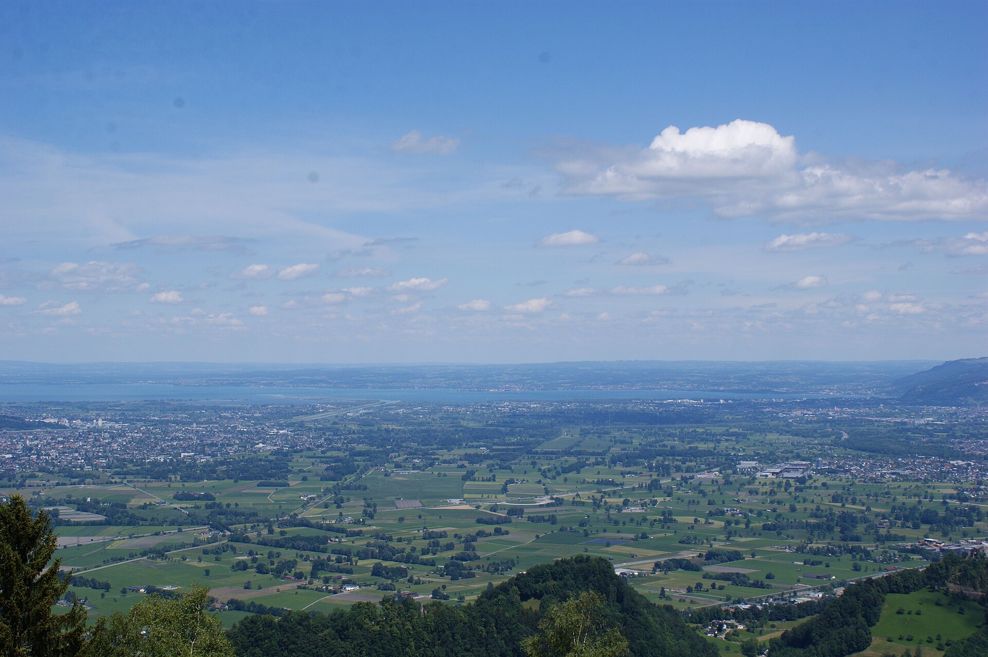

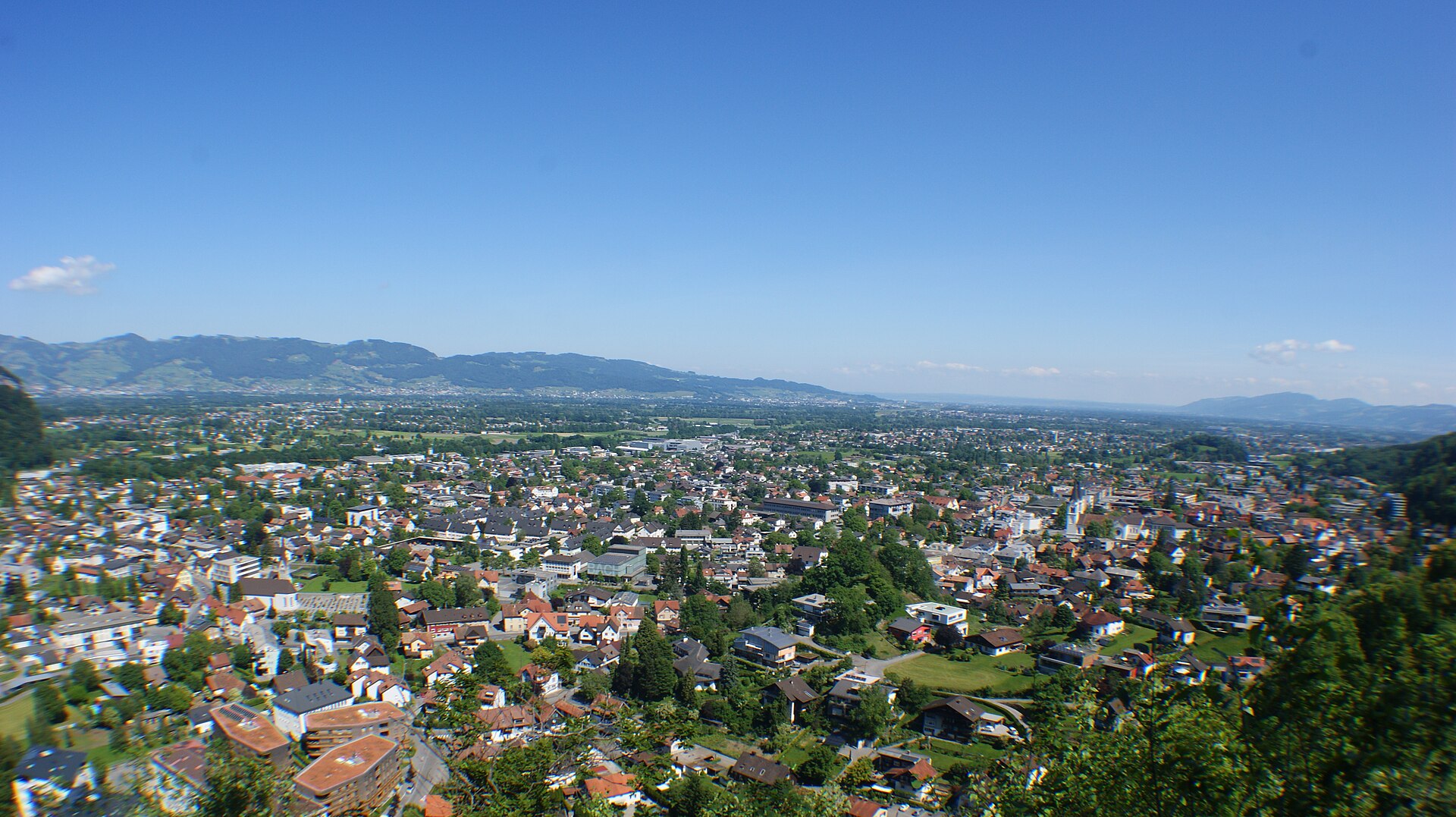
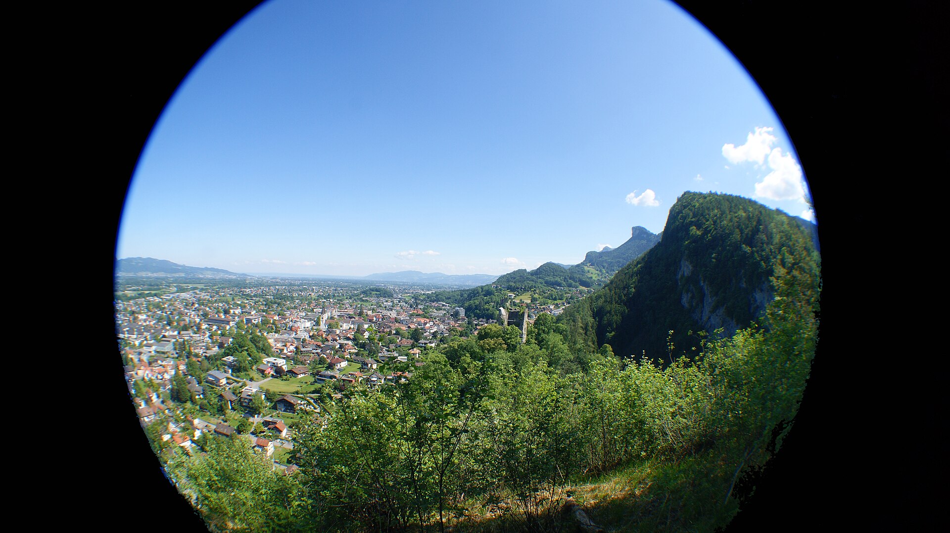

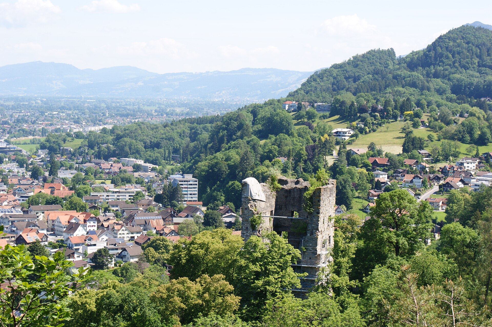
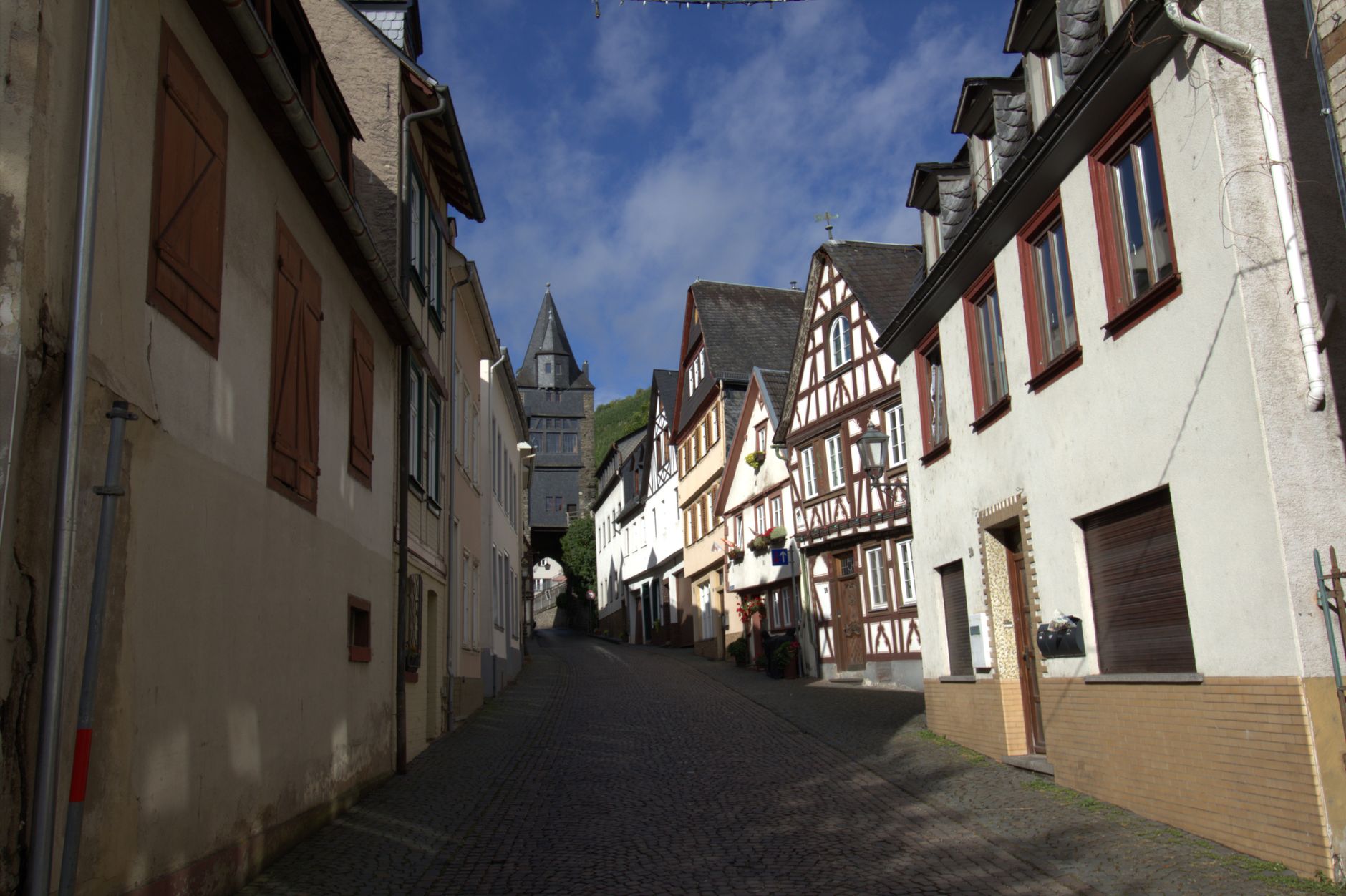
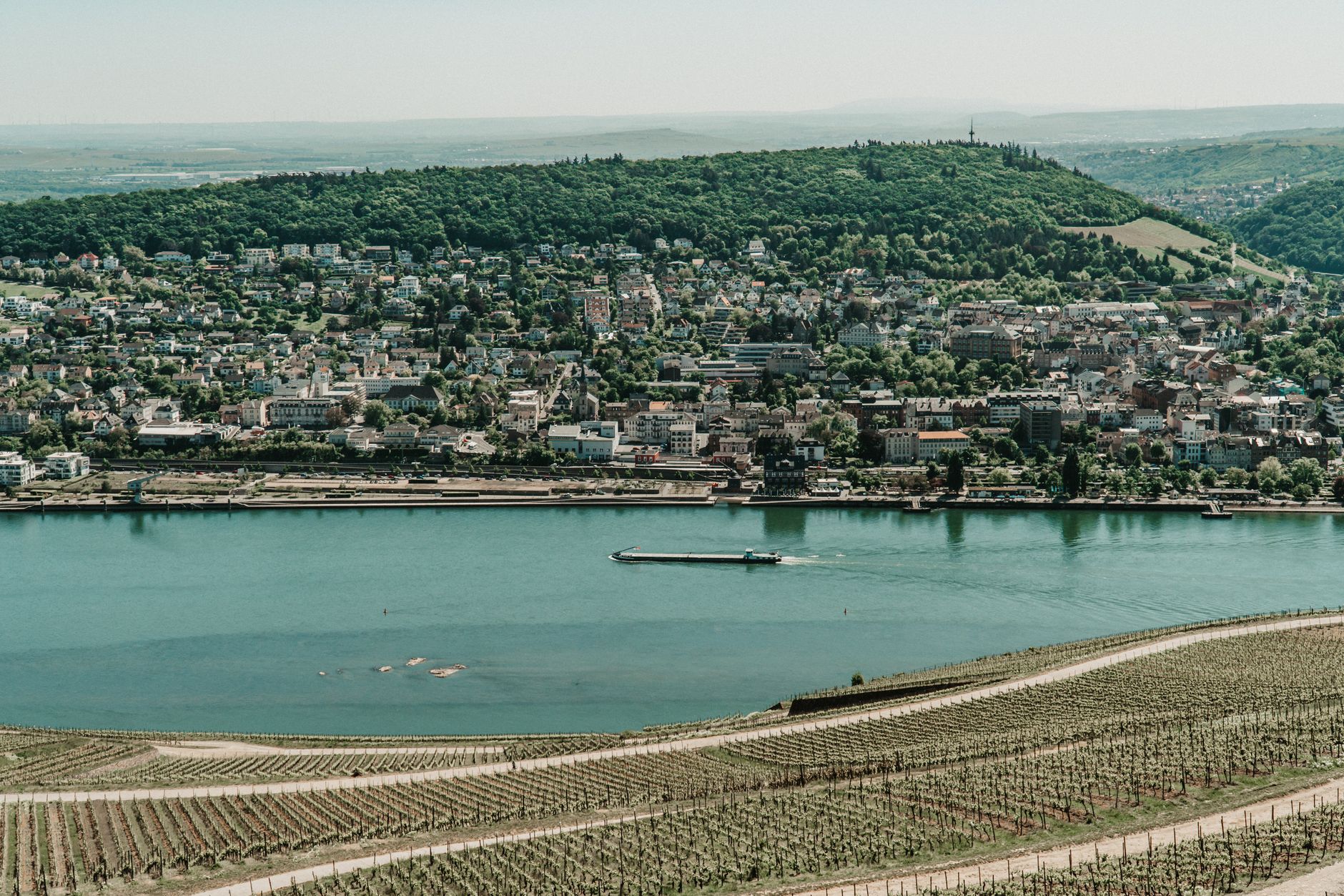
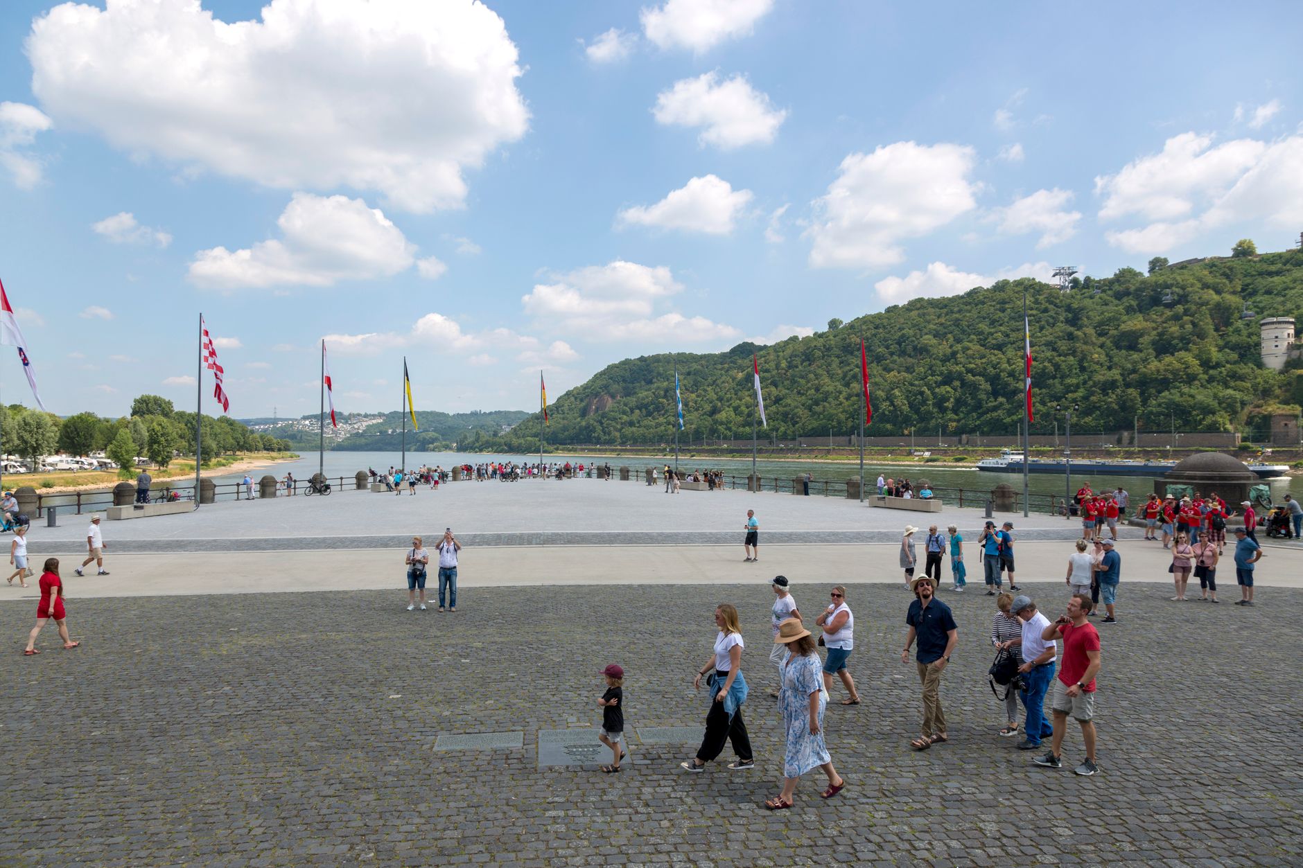
The 65-kilometre stretch of the Middle Rhine between Koblenz and Rüdesheim is one of those places where the landscape reads like an argument: steep vine-terraced slopes dropping to a river that has carried trade, armies and myths for two millennia, with a ruined or restored castle appearing on the ridge roughly every few kilometres. More than forty of them line this corridor, each one a former customs post or seat of a bishop-elector who once controlled the water below.
The valley rewards slowness. A train along one bank, a ferry across, a walk up to a castle that Victor Hugo sketched or Heine turned into verse — that rhythm suits the place better than any hurried itinerary.

How Rhine Valley came to be
Rome established this stretch of river as a frontier in the 1st century BCE, building a military road along the left bank. Medieval power fragmented across the bishop-electors of Cologne, Mainz and Trier and the counts palatine, each competing to tax Rhine traffic — hence the castle-building surge between Bingen and Koblenz. Marksburg, above Braubach, is the only one never destroyed; Rheinfels, founded 1245, once held off 28,000 French troops before finally falling to them a century later.
The wars of the 17th century left most fortresses as ruins, which the Romantic movement promptly fell in love with. Turner painted the valley, Heine wrote the Lorelei, Wagner drew on Rhine mythology for Götterdämmerung, and Prussian royalty began buying and restoring ruins — Friedrich Wilhelm IV rebuilt Stolzenfels by 1842. UNESCO added the Middle Rhine Valley to its World Heritage list in June 2002.
Who and what shaped it
People who shaped it
Landmark buildings
See Rhine Valley in motion
Plan your visit
On the map
When to go
Summers are warm and often sunny, ideal for river travel, though July and August bring the most visitors. Spring arrives early on the sheltered slopes, and autumn — harvest season in the vineyards — gives the valley some of its richest light; winters are mild by German standards but many ferry services run reduced schedules.
Right now
↡ Cities
Background & history adapted from Wikipedia (CC BY-SA) · specs from Wikidata (CC0) · weather from Open-Meteo · map data © OpenStreetMap contributors · photos from Wikimedia Commons / Unsplash with per-image credit. No third-party reviews or social posts reproduced.