
Pays de la Loire
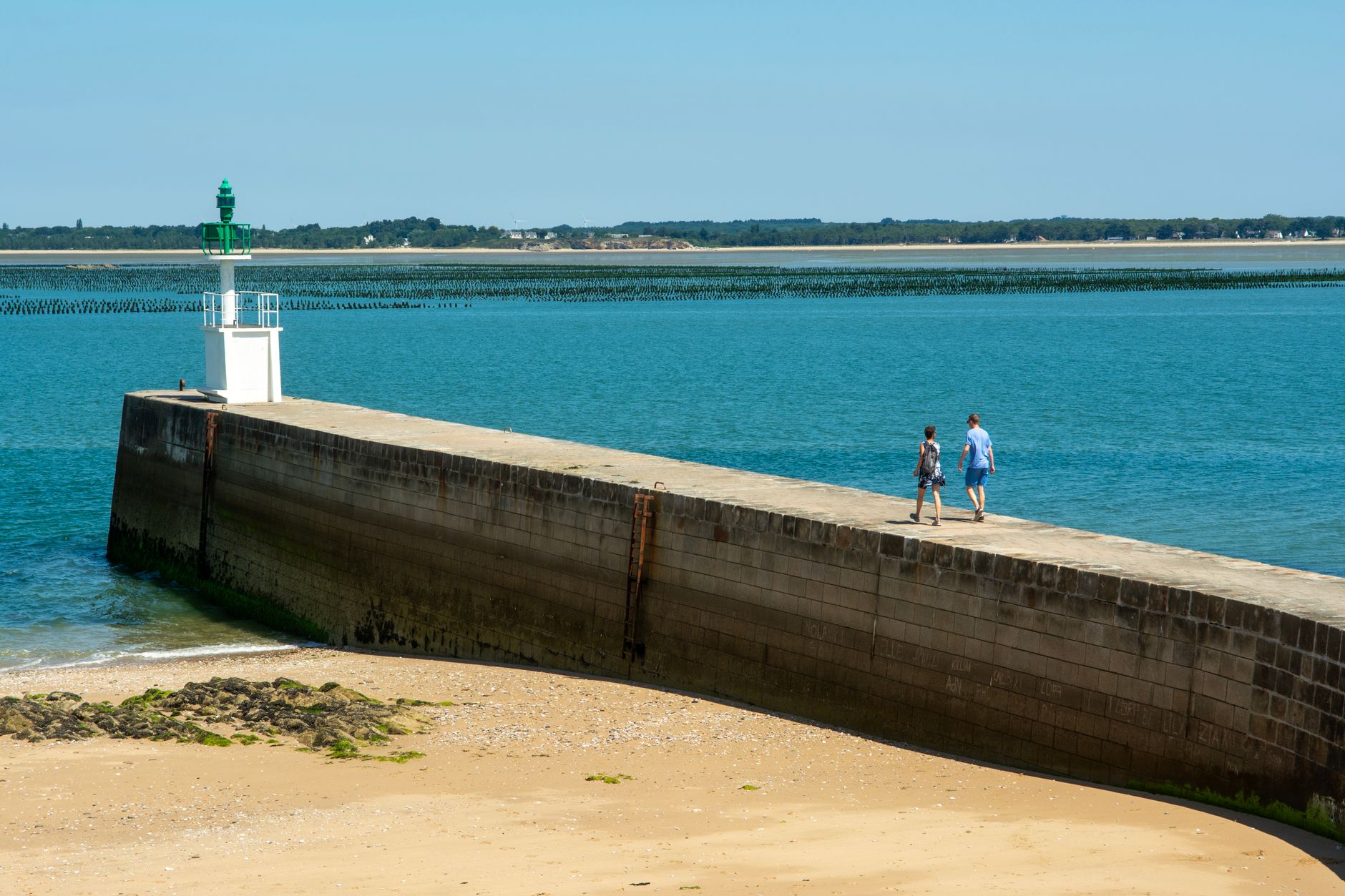
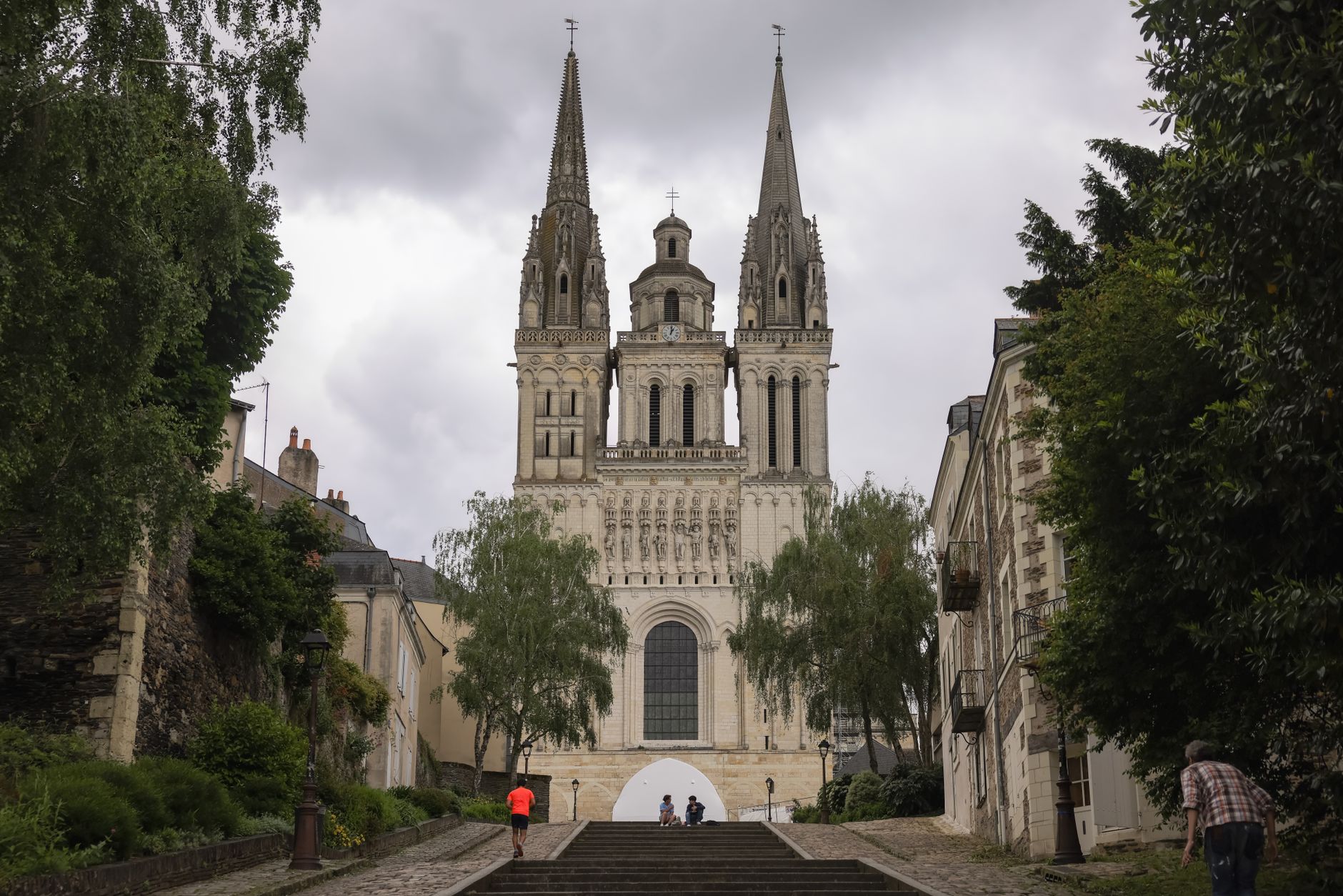
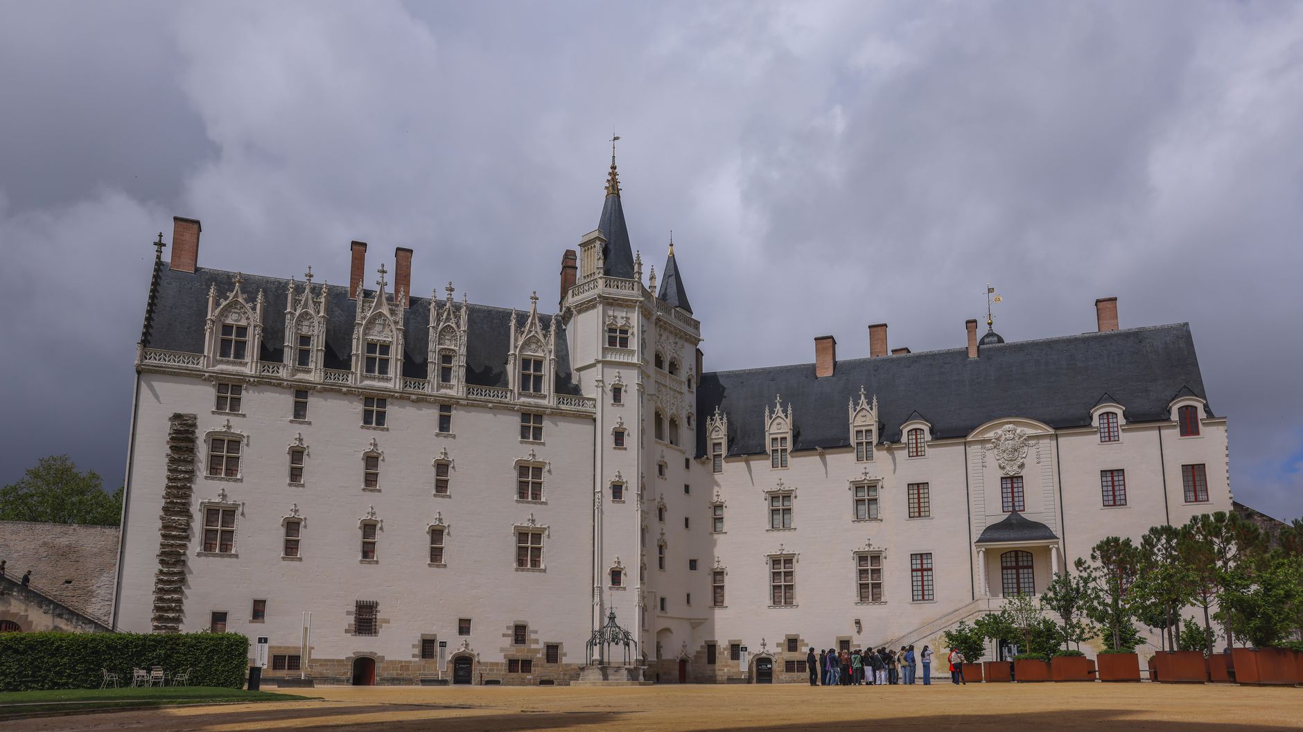
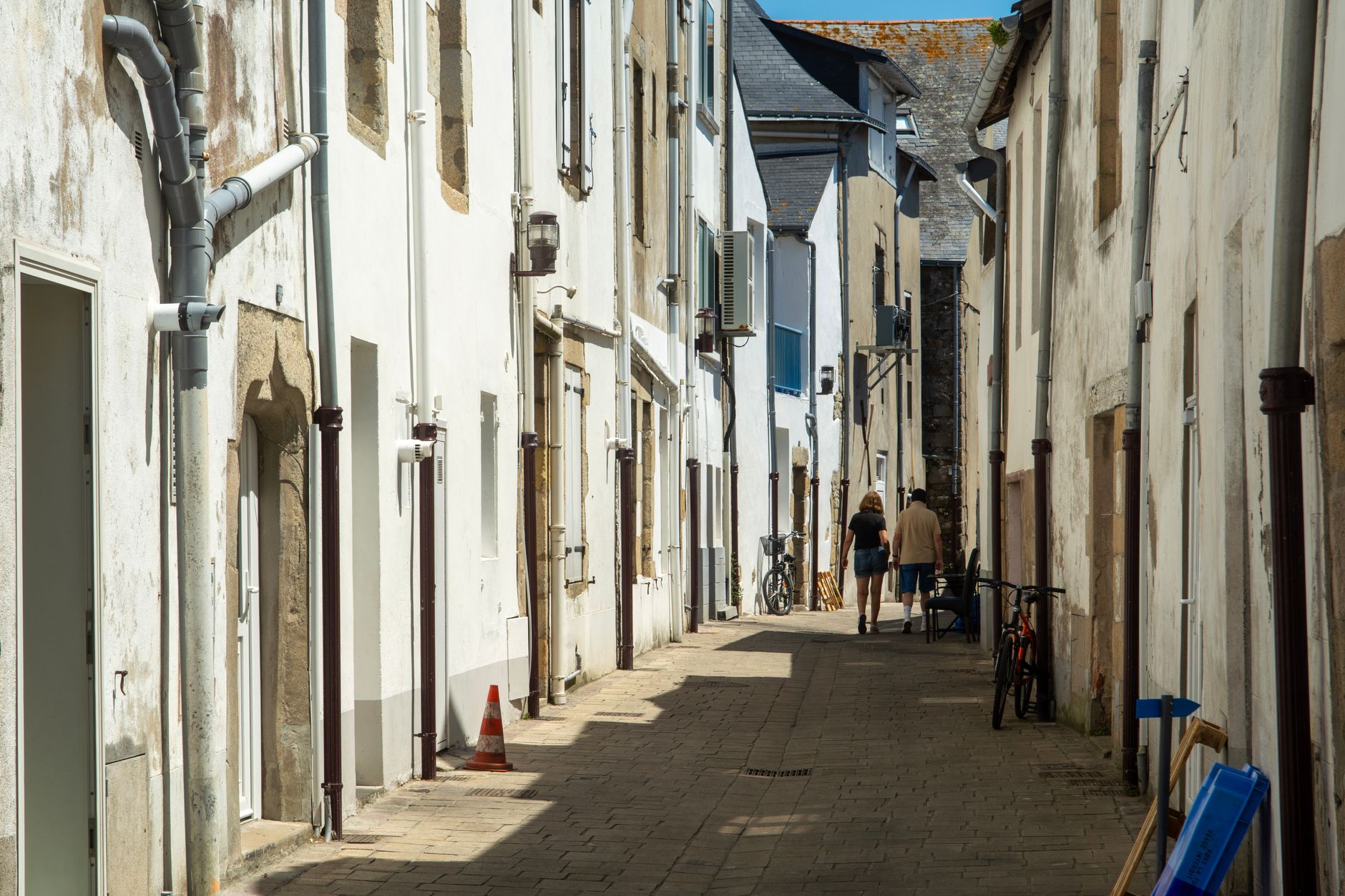
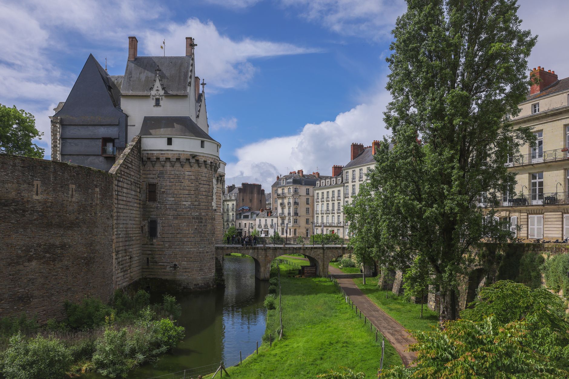
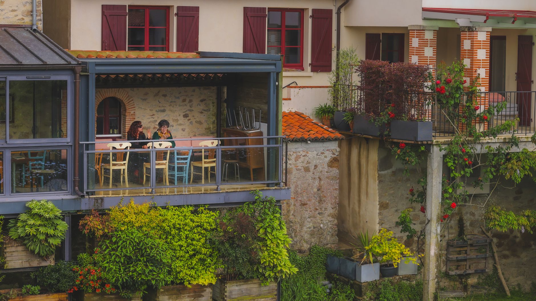
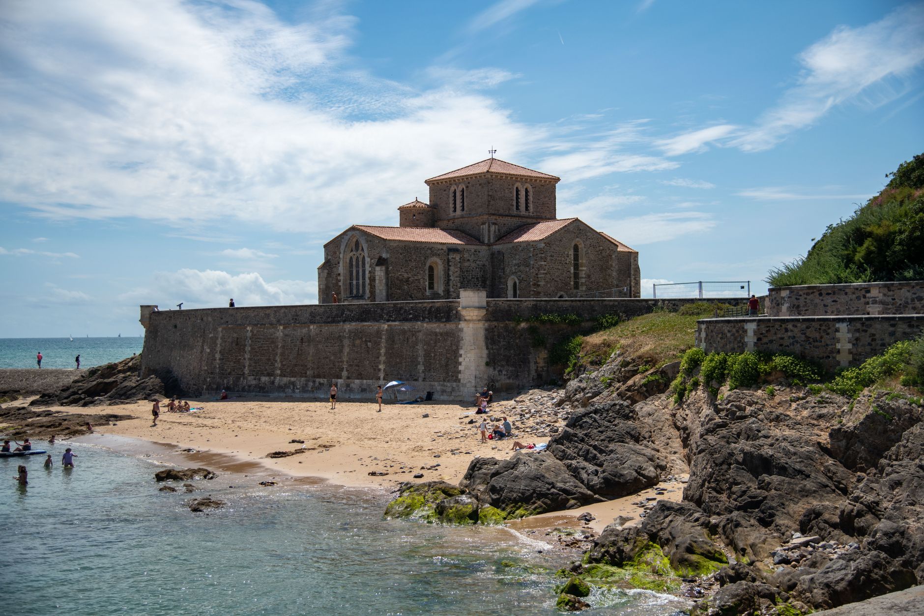
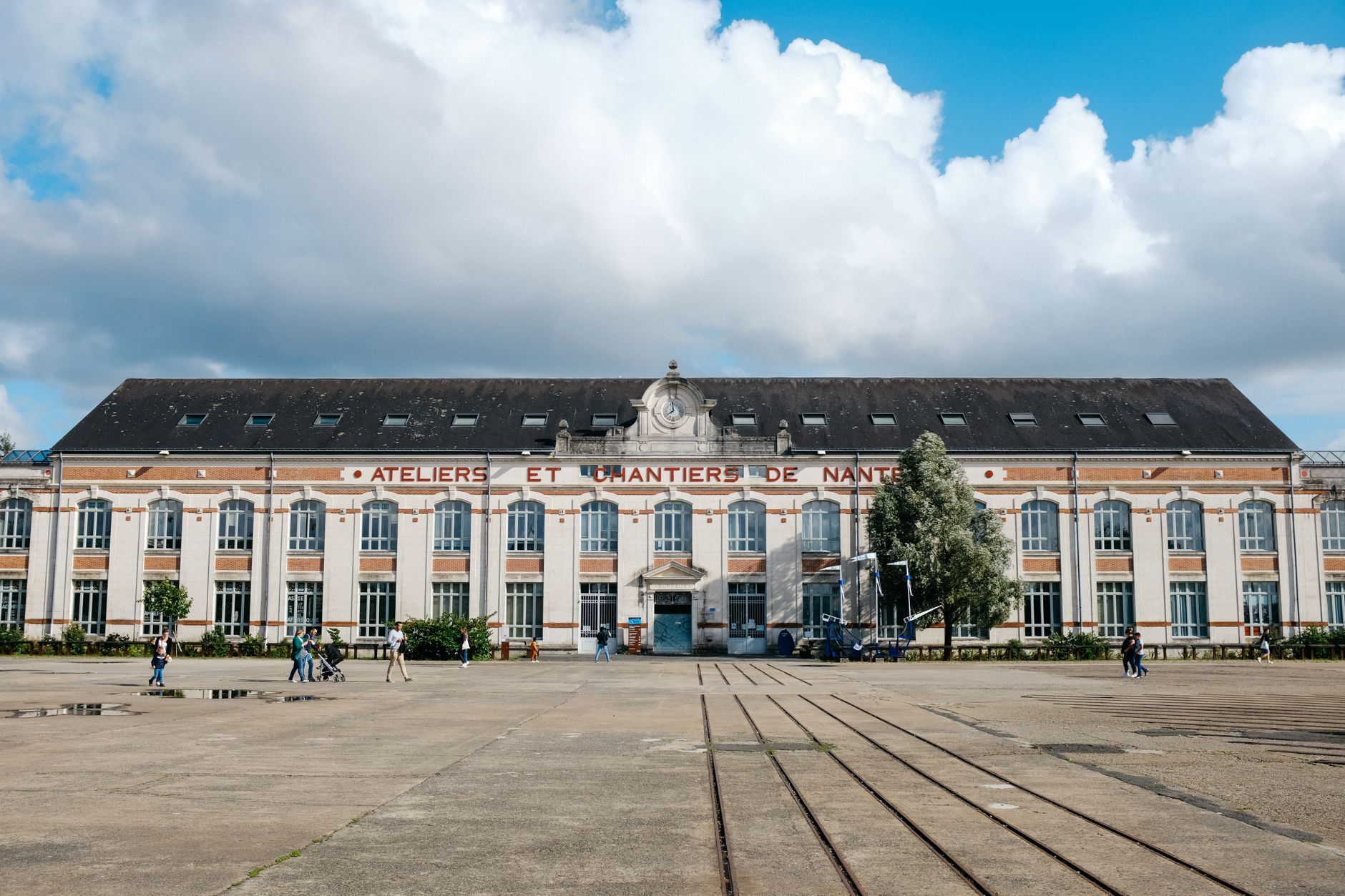
The Loire Valley holds more than 300 châteaux — hunting lodges, fortified keeps, Renaissance palaces — strung along a river the French crown once treated as its private address. Pays de la Loire is the administrative region that frames the western half of all that, with Nantes as its anchor and the Atlantic coast as its western edge.
What makes it worth a slow visit is the scale of it: you can ride a bike from one château to the next along the riverbank, stop in a village for Saumur wine, and still have afternoon light left for a second ruin. The region is wide enough that no single day exhausts it.
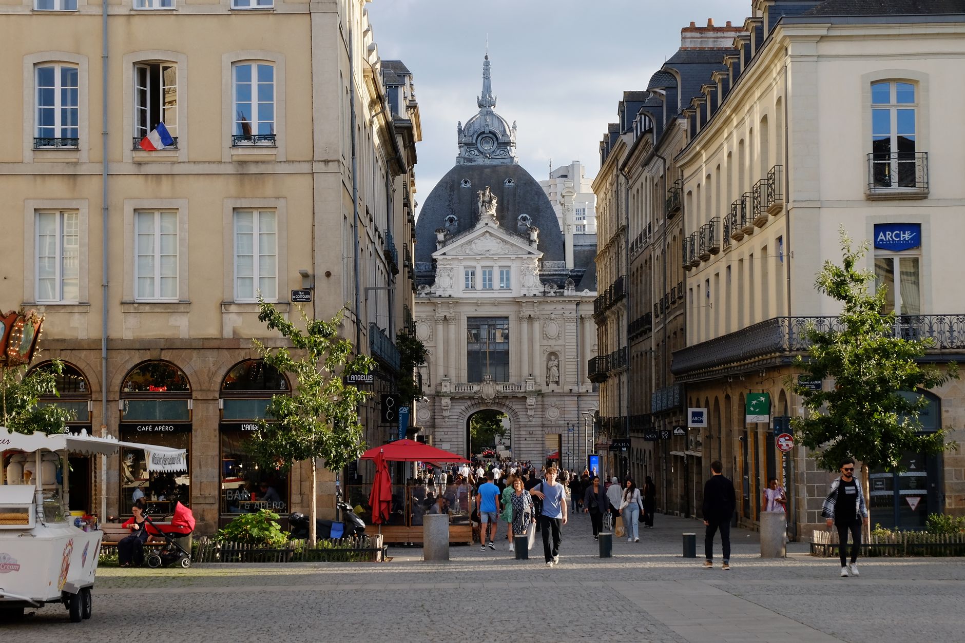
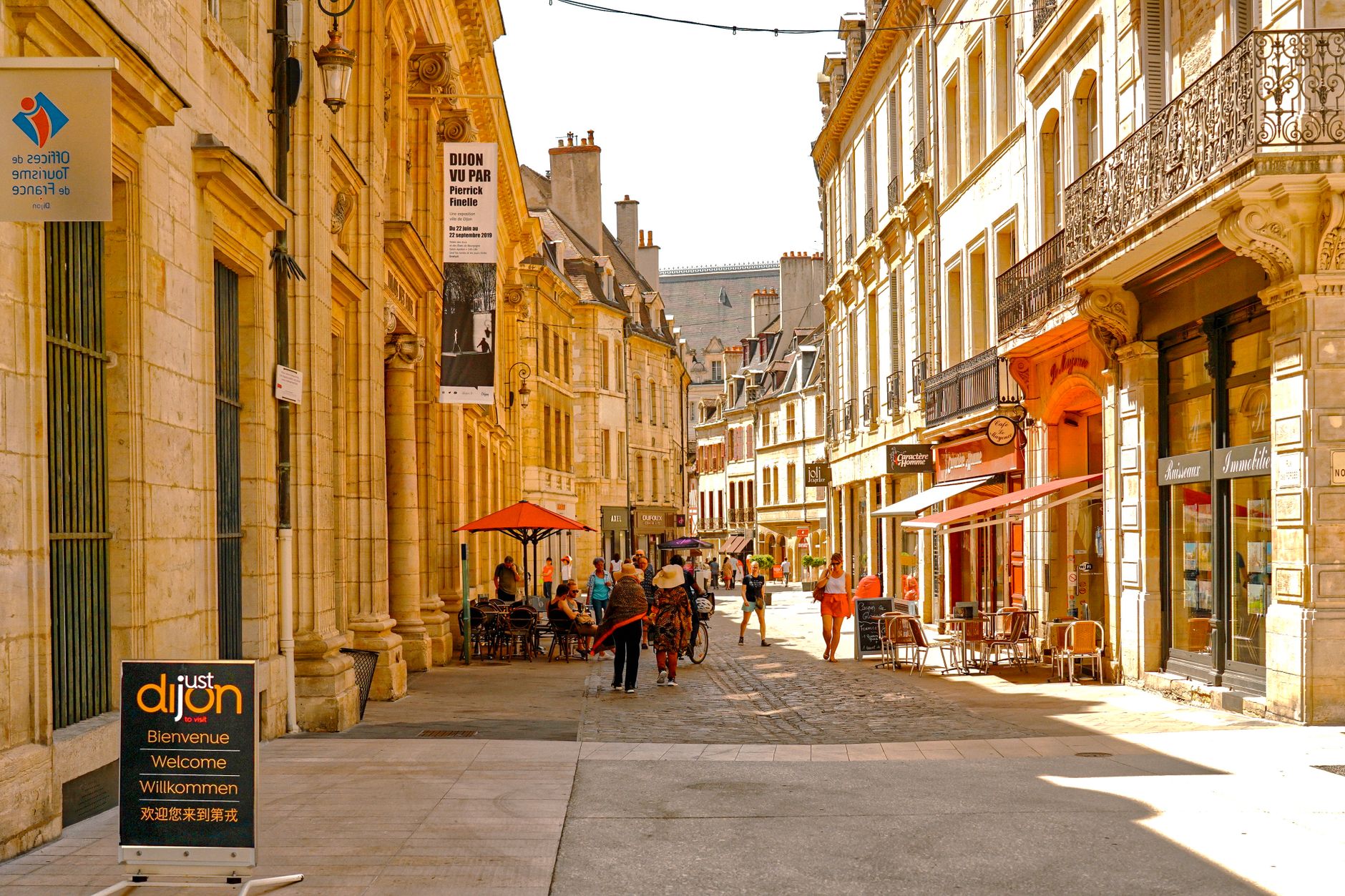
Popular cities in Pays de la Loire
Experiences you don't want to miss
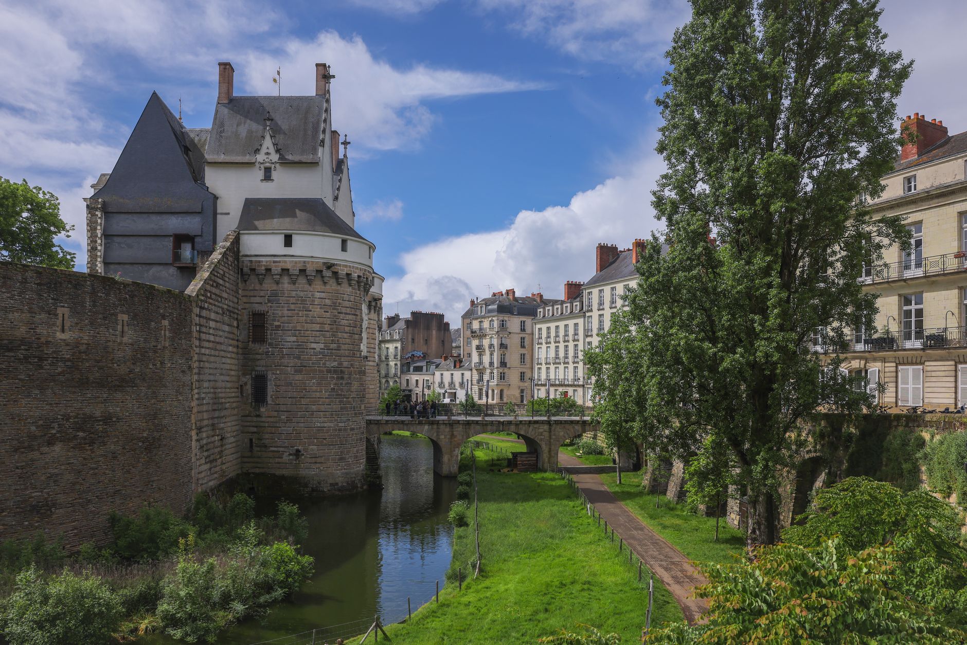



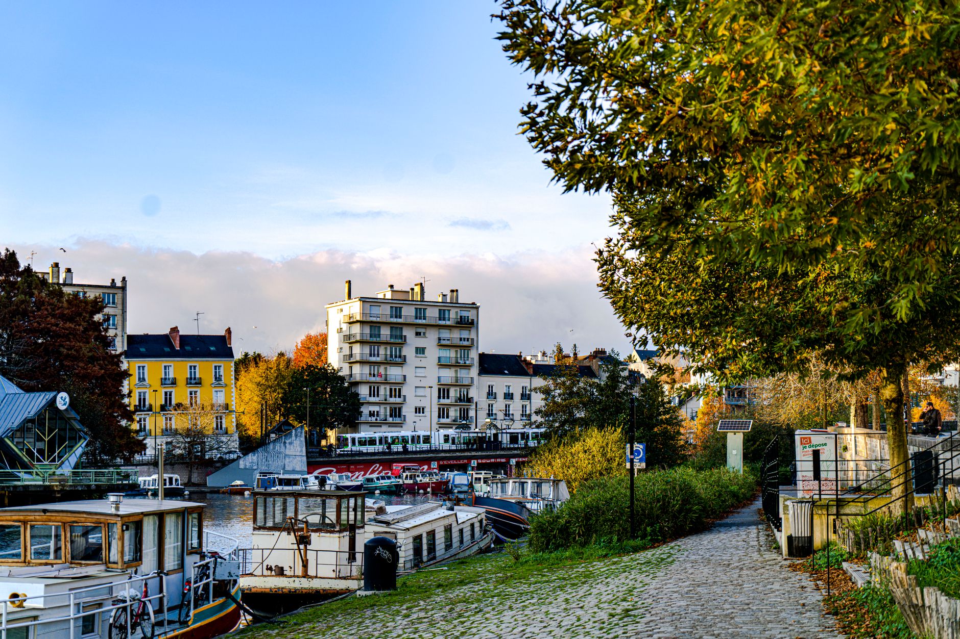
How Pays de la Loire came to be
Romans pushed into this territory in 52 BC, displacing the Cenomanni and Carnute tribes and founding the settlements that became Angers and Le Mans. The region later became the power base of the counts of Anjou — Henri Plantagenet left from here to become King of England. France reclaimed it in 1202, and by the 16th century the Loire Valley had become the cradle of French Renaissance architecture, with François I commissioning Château de Chambord in 1519.
The region as it exists today is a modern invention: it was drawn up in the 1950s as an administrative zone centred on Nantes, one of several 'balancing metropolises' the French government created to distribute economic weight away from Paris. Its name came from geography, not from any historical identity.
Who and what shaped it
People who shaped it
Landmark buildings
See Pays de la Loire in motion
Plan your visit
On the map
When to go
Summers are mild rather than hot — August averages top out around 25°C — with up to nine hours of sun a day and July as the driest month. Winter is cool and grey, with January lows near 3°C; rain can arrive in any season, but November is the wettest month by a clear margin.
Right now
↡ Cities

No places match these filters.
Background & history adapted from Wikipedia (CC BY-SA) · specs from Wikidata (CC0) · weather from Open-Meteo · map data © OpenStreetMap contributors · photos from Wikimedia Commons / Unsplash with per-image credit. No third-party reviews or social posts reproduced.