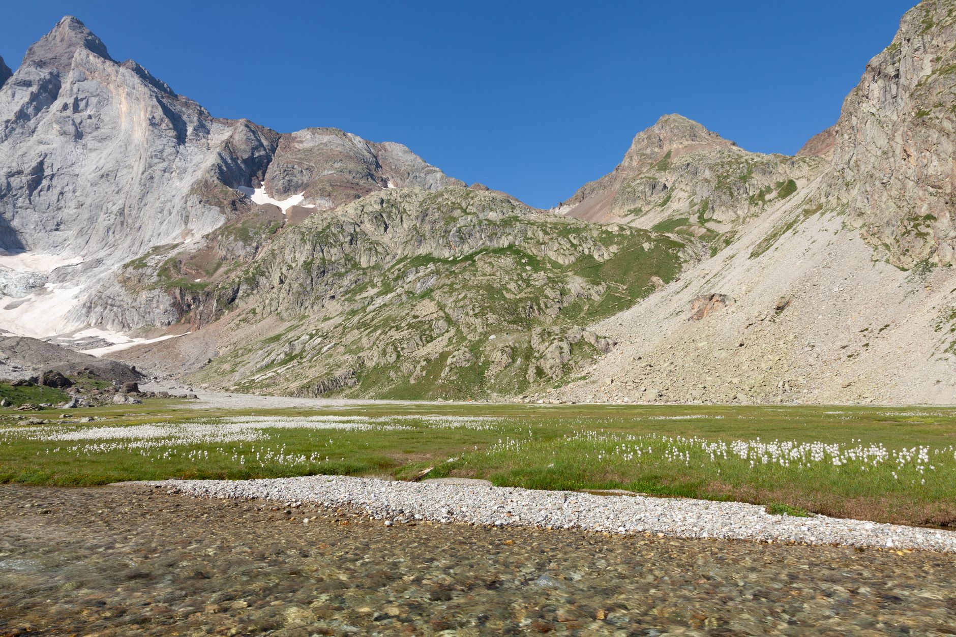
Port de Boucharo Viewpoint
Perched at 2,270 metres on the Franco-Spanish border, the Port de Boucharo is the high mountain pass where the Pyrenees open up in every direction — France behind you, Spain's Ordesa canyon ahead, and the jagged Brèche de Roland cutting the skyline like a missing tooth.

Getting to the Pass
A well-marked trail departs from the Refuge de la Brèche de Roland car park on the D923, about 8 km south of Gavarnie village. The ascent gains roughly 600 metres over 5 km of rocky path, passing snowfields and ibex-grazed slopes even in midsummer.
Crampons and an ice axe are recommended before mid-July because the couloir immediately below the Brèche de Roland holds hard snow; after that date, sturdy hiking boots are sufficient.
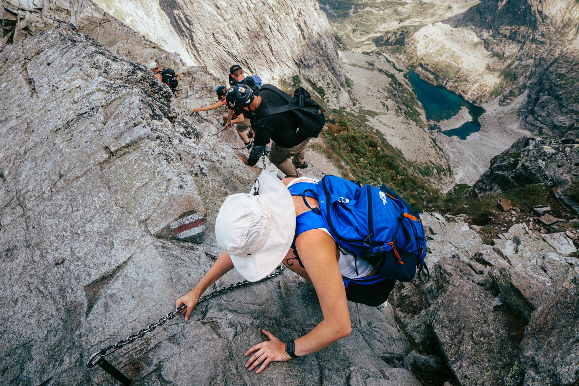
What You See at the Top
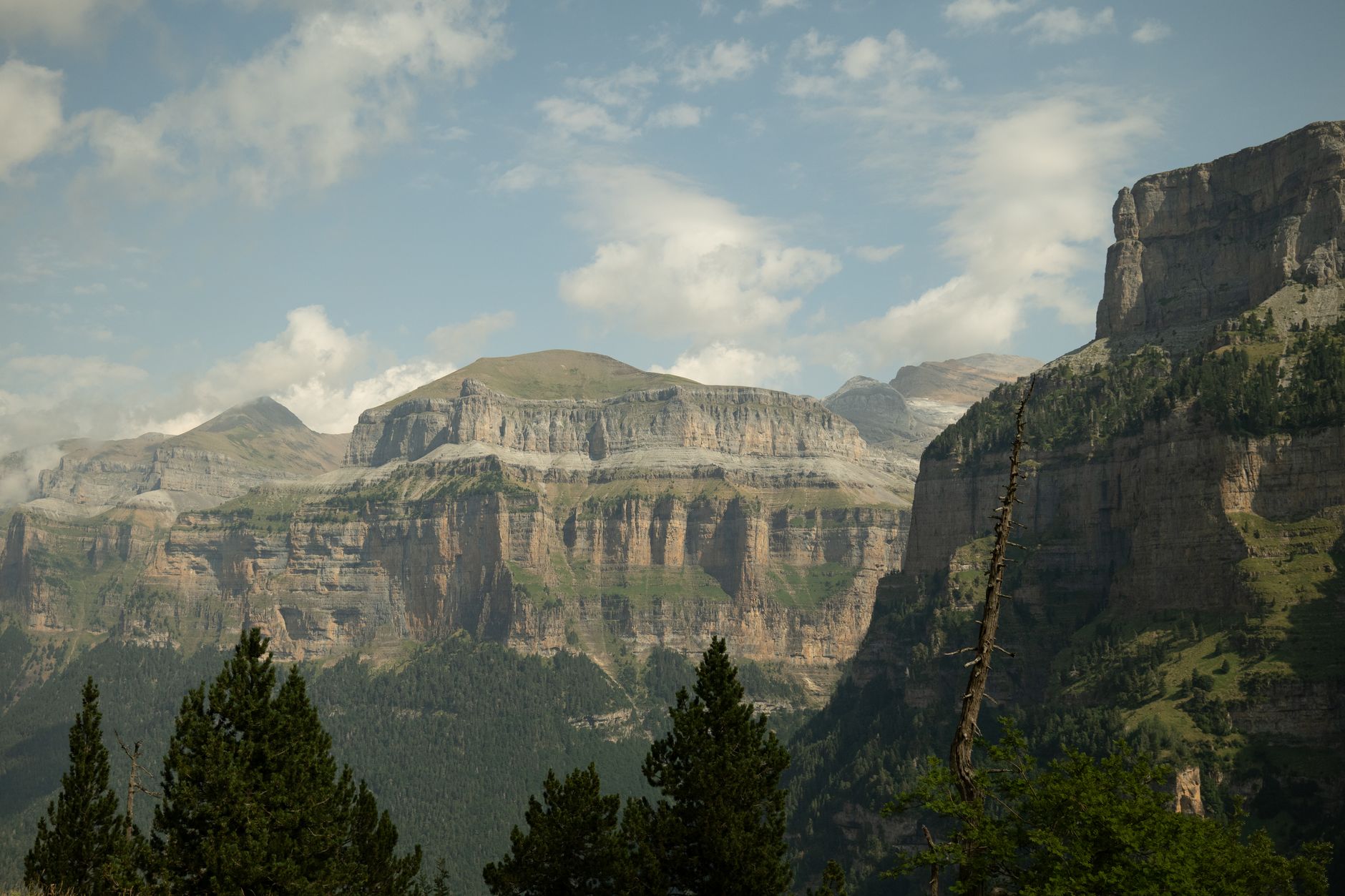
From the pass you look directly down into Spain's Parque Nacional de Ordesa y Monte Perdido, one of the oldest national parks in Europe, its canyon walls striped in ochre and cream limestone. On a clear morning the view extends south to the Sierra de Guara.
The Brèche de Roland itself — a rectangular notch 40 m wide and 100 m tall — is a five-minute scramble to the right of the pass and is one of the most photogenic geological curiosities in all of the Pyrenees.
Timing and Safety
Start the hike by 7 a.m. in summer to avoid afternoon thunderstorms, which build rapidly above 2,000 metres in the Pyrenees from late morning onward. Bring layers; wind at the pass can be fierce even on warm valley days.
The round trip from the car park takes 4–5 hours; the car park itself is at 1,640 metres, so altitude acclimatisation is already partly done before you set off.
More of Gavarnie
Discover where to stay, what to do and the best deals for your trip.
Explore Gavarnie →