
Brèche de Roland & Plateau de Bellevue
At 2,807 metres, the Brèche de Roland is a legendary 40-metre-wide notch in the Franco-Spanish frontier ridge that looks exactly as if a giant blade sliced through the rock. The hike to reach it is one of the finest high-mountain day walks in the Pyrenees.
Getting Up There
The standard ascent starts from the Refuge des Sarradets car park at Port de Boucharo (2,270 m), reached by a seasonal toll road from Gavarnie village. From there a well-cairned path climbs snowfields and scree for roughly two hours, passing the staffed Refuge de la Brèche de Roland at 2,587 m where you can refuel on soup and omelettes.
Crampons and an ice axe are recommended before mid-July when the approach snowfield is still steep and icy. After that the route is a straightforward mountain walk, though altitude and exposure demand respect — always check the météo-montagne forecast before setting out.

The View from the Gap
Stepping through the Brèche itself is a theatrical moment: on the French side you see the cirque and the village far below; on the Spanish side the wild Ordesa canyon drops away into Aragón. On a clear morning both views are simultaneously visible, a rare geographic drama.
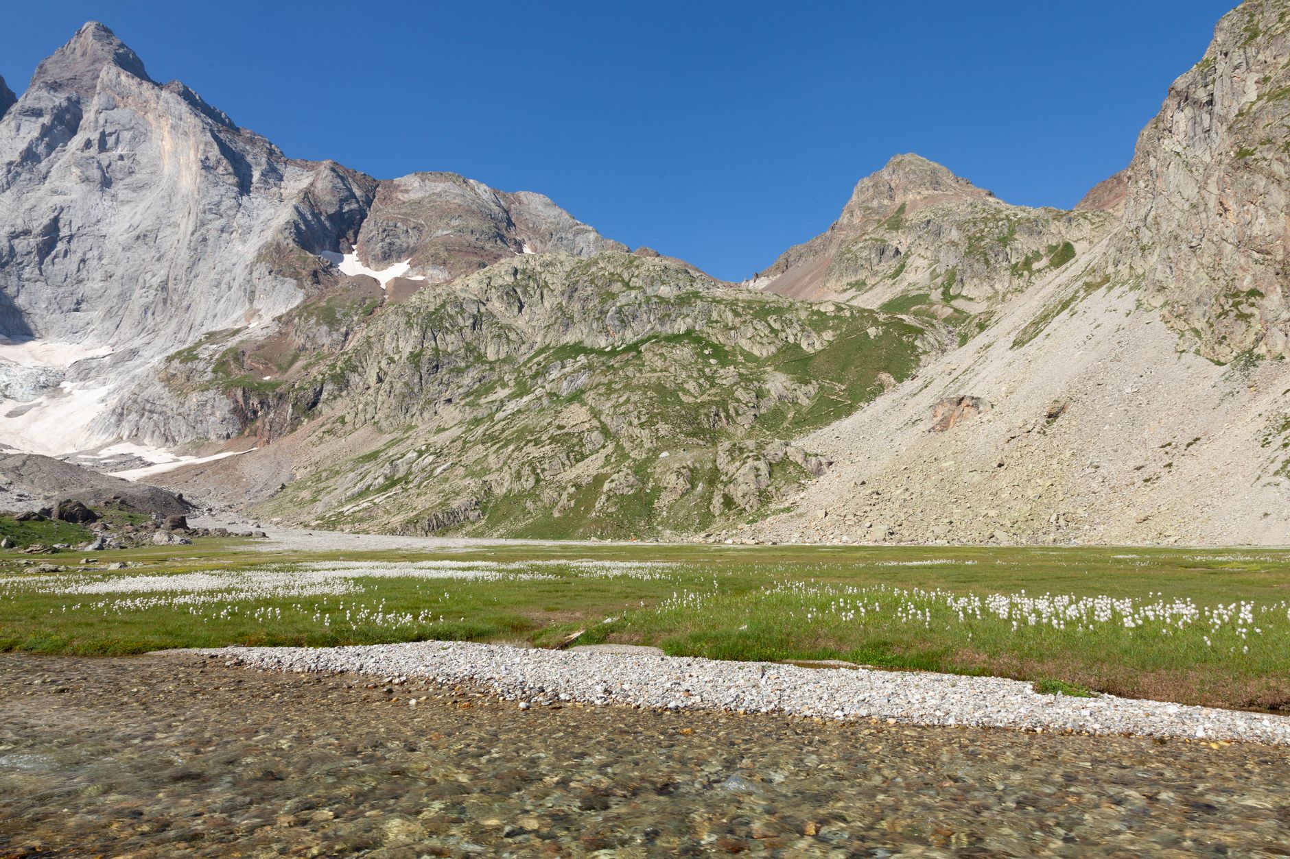
The Plateau de Bellevue, a grassy shoulder just below the refuge, offers a slightly easier alternative objective with sweeping views over the entire cirque — perfect if the upper snowfield feels too committing. A small cable car called the Télécabine de Pimené used to serve this area; check locally for its current operational status each season.
More of Gavarnie
Discover where to stay, what to do and the best deals for your trip.
Explore Gavarnie →


