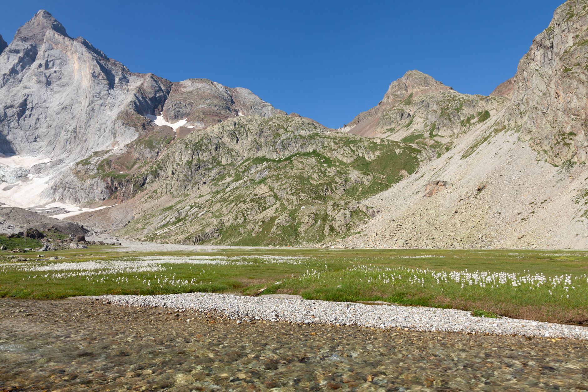
Plateau du Piméné (2,801 m)
While the Brèche de Roland grabs the headlines, the summit of the Piméné is arguably the finest viewpoint over the entire Cirque de Gavarnie — and far fewer people make the climb. From the top you see the complete horseshoe of cliffs spread below you like a topographic map.

The Ascent
The trail departs from a small car park above Gavarnie village on the road toward the Cirque, branching east on a clear path through bilberry scrub and limestone pavement. The climb is steady rather than technical, gaining around 900 metres over roughly 5 kilometres — count on 2.5 to 3 hours up.
Above 2,400 metres the vegetation thins to short alpine grass and the views open dramatically. Isard (Pyrenean chamois) are commonly spotted on the upper slopes, picking their way across the scree with casual indifference to the altitude.
What You See at the Top
The 360-degree panorama from the summit cross takes in the full cirque to the west, the Vignemale massif (3,298 m, the highest peak entirely in France) to the north-west, and the Spanish Ordesa canyon to the south. On a clear day the plains of Aragón are visible as a faint brown haze beyond the frontier.
Sunrise and late-afternoon light are the photographer's gold: the low sun rakes across the cirque walls, turning the limestone from grey to amber and deepening the shadows in the couloirs. Pack a windproof layer — even in August the summit can be brisk.
More of Gavarnie
Discover where to stay, what to do and the best deals for your trip.
Explore Gavarnie →