Region

Nile River Valley

Nile River Valley
Photo by Diego F. Parra on Pexels
Nile River Valley
Photo by AHAD HASAN on Pexels
Nile River Valley
Photo by Muhammed Fatih Beki on Pexels
Nile River Valley
Photo by mohamed abdelghaffar on Pexels
Nile River Valley
Photo by M abnodey on Pexels
Nile River Valley
Photo by INDU BIKASH SARKER on Pexels

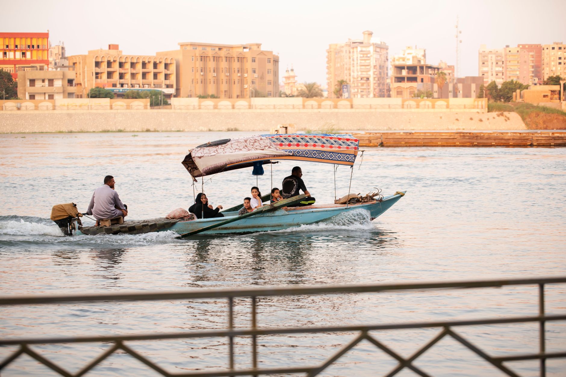
The Nile doesn't announce itself — it simply persists, a green corridor cutting through stone and sand for more than 6,600 kilometres, from the highlands of East Africa to the Mediterranean coast. Along its banks, people have been farming, building, and burying their dead since at least 6000 BCE, drawn here when the surrounding land dried out and the river became the only reliable thing.

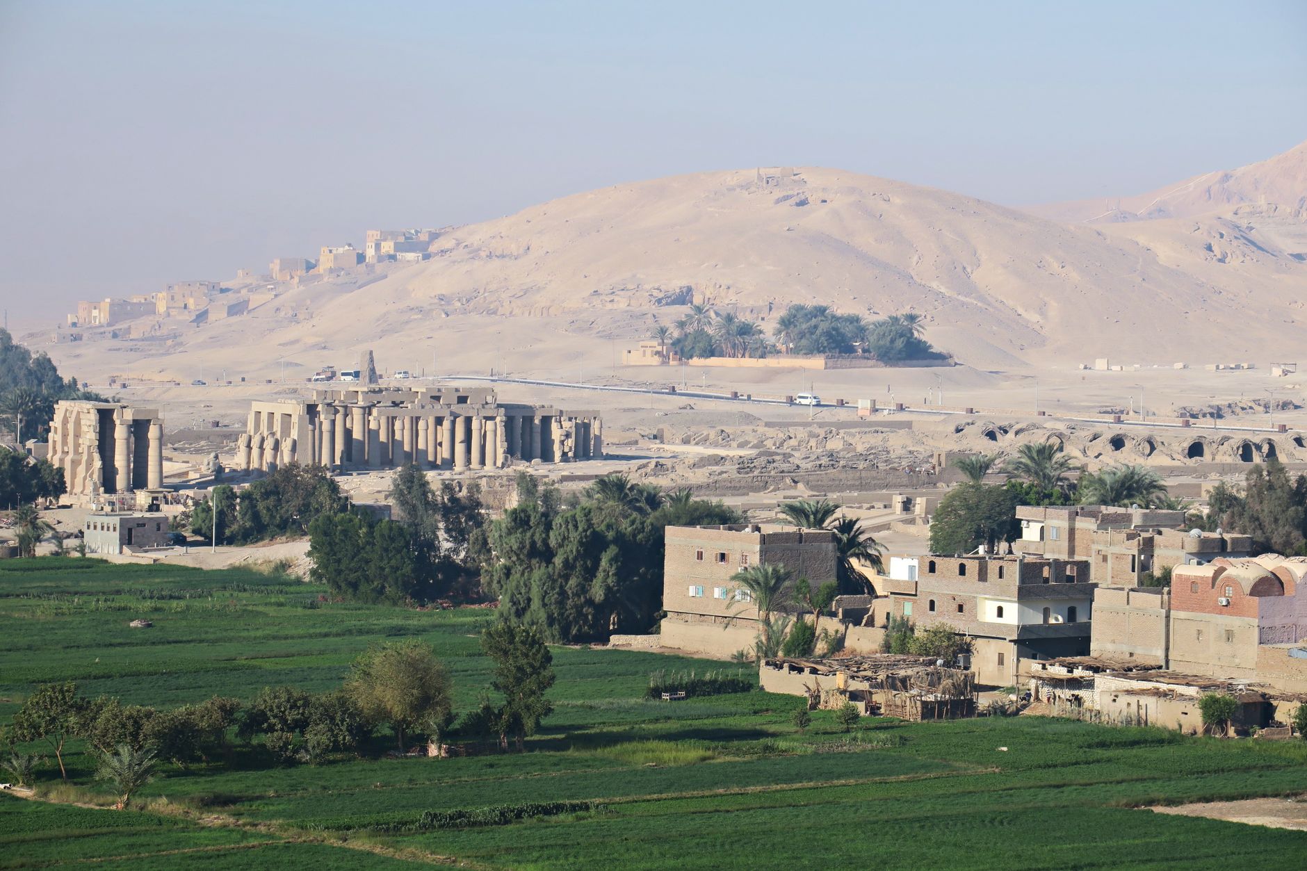
Today that corridor holds one of the densest concentrations of ancient architecture on earth. Temples cut into cliffs, tombs painted with scenes of the afterlife, columns wider than a person's armspan — the valley rewards slow travel and a willingness to sit with scale.
Good to know
Trains connect Cairo, Luxor, and Aswan and are the most practical way to move through the valley. November through February offers the most manageable temperatures. The Luxor-to-Aswan stretch deserves at least a week; a three-night cruise between the two covers the core sites. Budget a full half-day for Edfu Temple alone.
The story

How Nile River Valley came to be

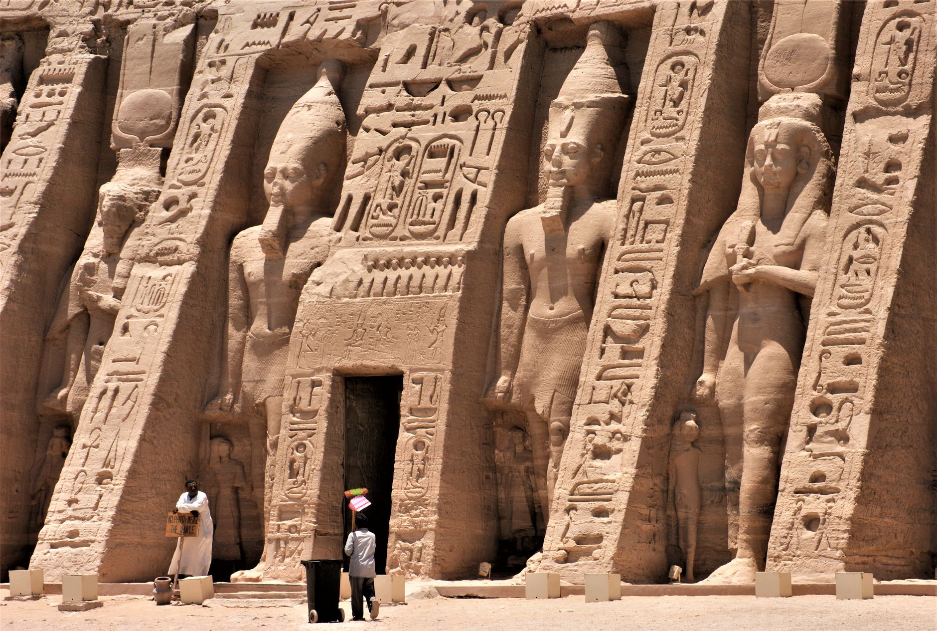
Around 3900 BCE, a drying climate pushed scattered communities toward the river, and the Nile Valley became the spine of an emerging civilisation. By 3150 BCE, Upper and Lower Egypt had unified under a single political authority. The Old Kingdom (roughly 2700–2181 BCE) produced the earliest monumental stone construction — King Djoser's architect raised the Step Pyramid at Saqqarah during the 3rd dynasty. Later, the New Kingdom (1549–1069 BCE) centred on Thebes in the south, where Ramses II ordered two temples carved directly from a cliff at Abu Simbel, and pharaohs were buried in painted tombs on the Nile's west bank.

More than 60 tombs have been uncovered in the Valley of the Kings, including Tutankhamun's, found intact by Howard Carter in 1922. The valley's last major transformation came in 1970, when the Aswan High Dam — still the world's largest embankment dam — reshaped the river's flow, and entire temple complexes, including Philae, were relocated to higher ground.

People & landmarks

Who and what shaped it

People who shaped it

Ramses II
New Kingdom pharaoh who ordered two temples cut from cliffside at Abu Simbel with four colossal statues adorning the main entrance.
Tutankhamun
New Kingdom pharaoh whose intact tomb was discovered in the Valley of the Kings by Howard Carter in 1922.
Hatshepsut
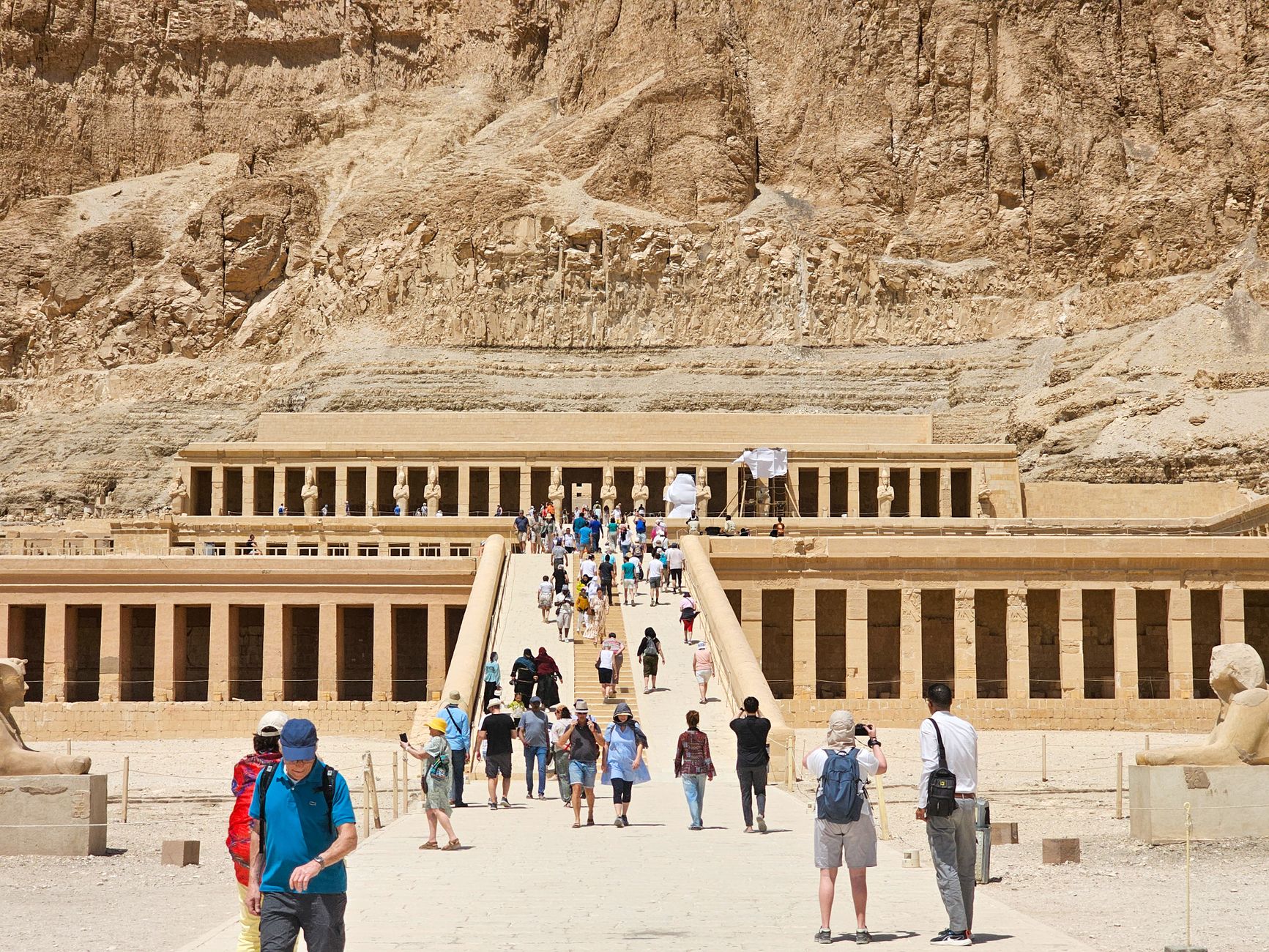
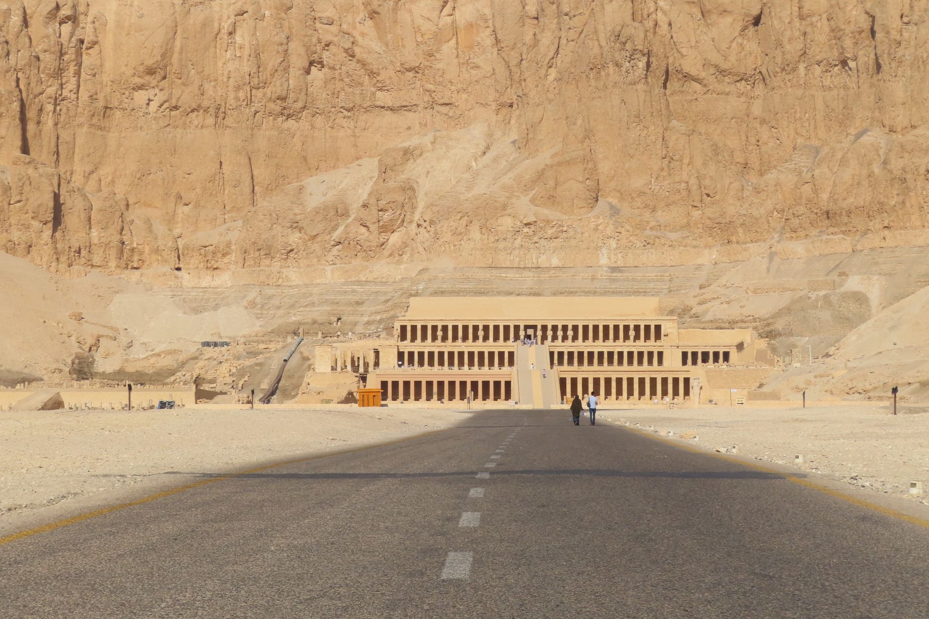
New Kingdom pharaoh with a mortuary temple located in the Nile Valley.
Howard Carter
Archaeologist who discovered Tutankhamun's tomb in 1922 in the Valley of the Kings.
King Djoser
3rd dynasty pharaoh whose architect designed the Step Pyramid at Saqqarah, the earliest stone building of importance in Egypt.

Landmark buildings

Karnak Temple
Precinct of Amun containing the Great Hypostyle Hall with 134 massive columns; offers sound and light shows nightly.
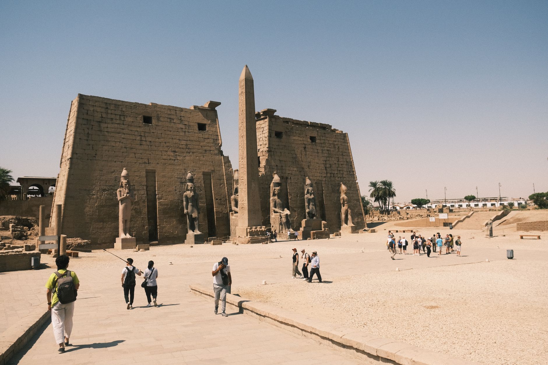
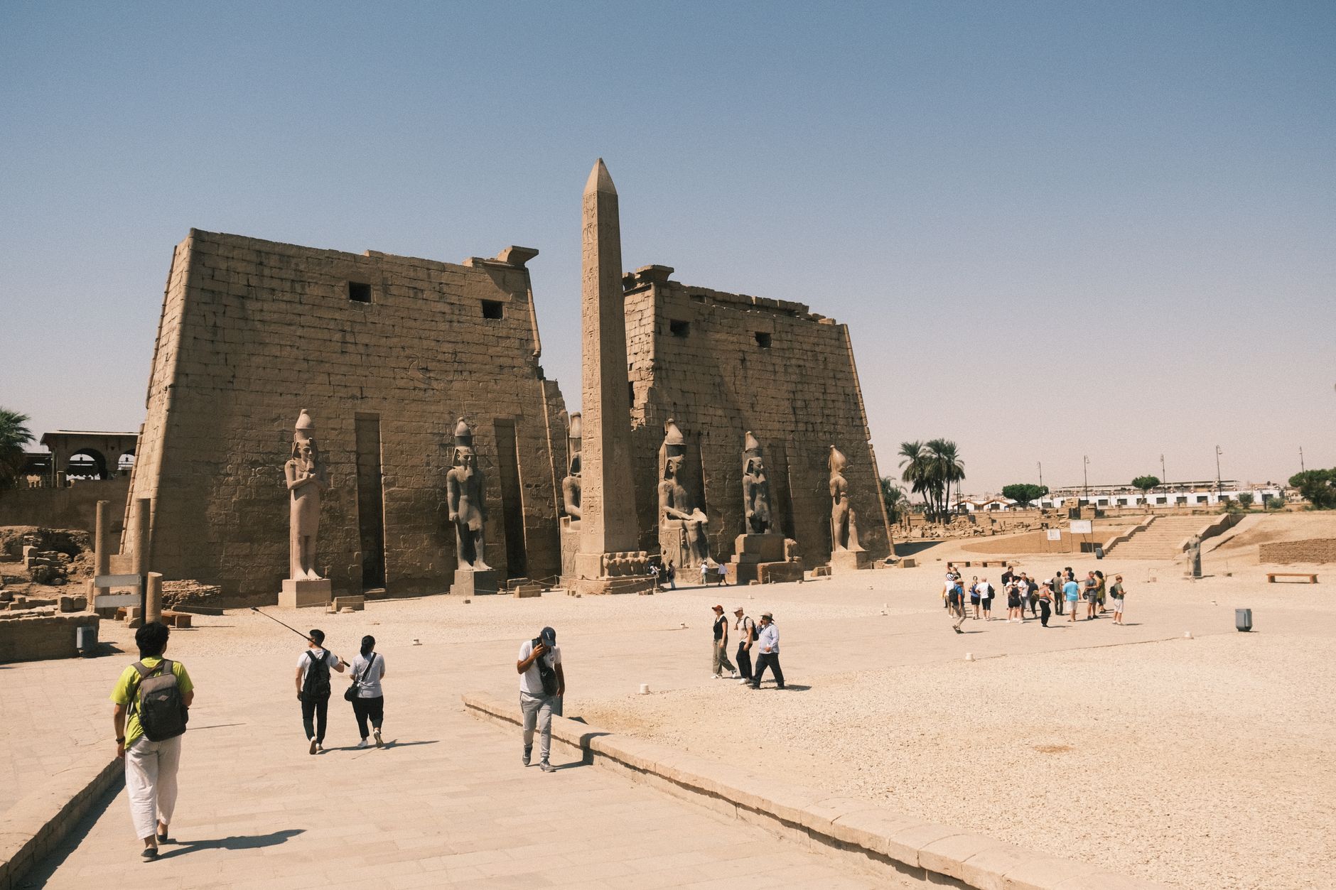
Luxor Temple
Ancient temple dedicated to the idea of kingship where many pharaohs were believed crowned in ancient Thebes.
Valley of the Kings
West bank burial site for New Kingdom pharaohs with more than 60 uncovered tombs including Tutankhamun's.
Abu Simbel
Two temples carved from cliffside by Ramses II; main temple features four giant statues of Ramses II, smaller temple honours Queen Nefertari.
Hatshepsut's Temple
Mortuary temple of the New Kingdom pharaoh located in the Nile Valley.
Philae Temple Complex
Temple built to worship the God Isis; relocated from Philae Island to Agilika Island in 1970 to preserve it from flooding.
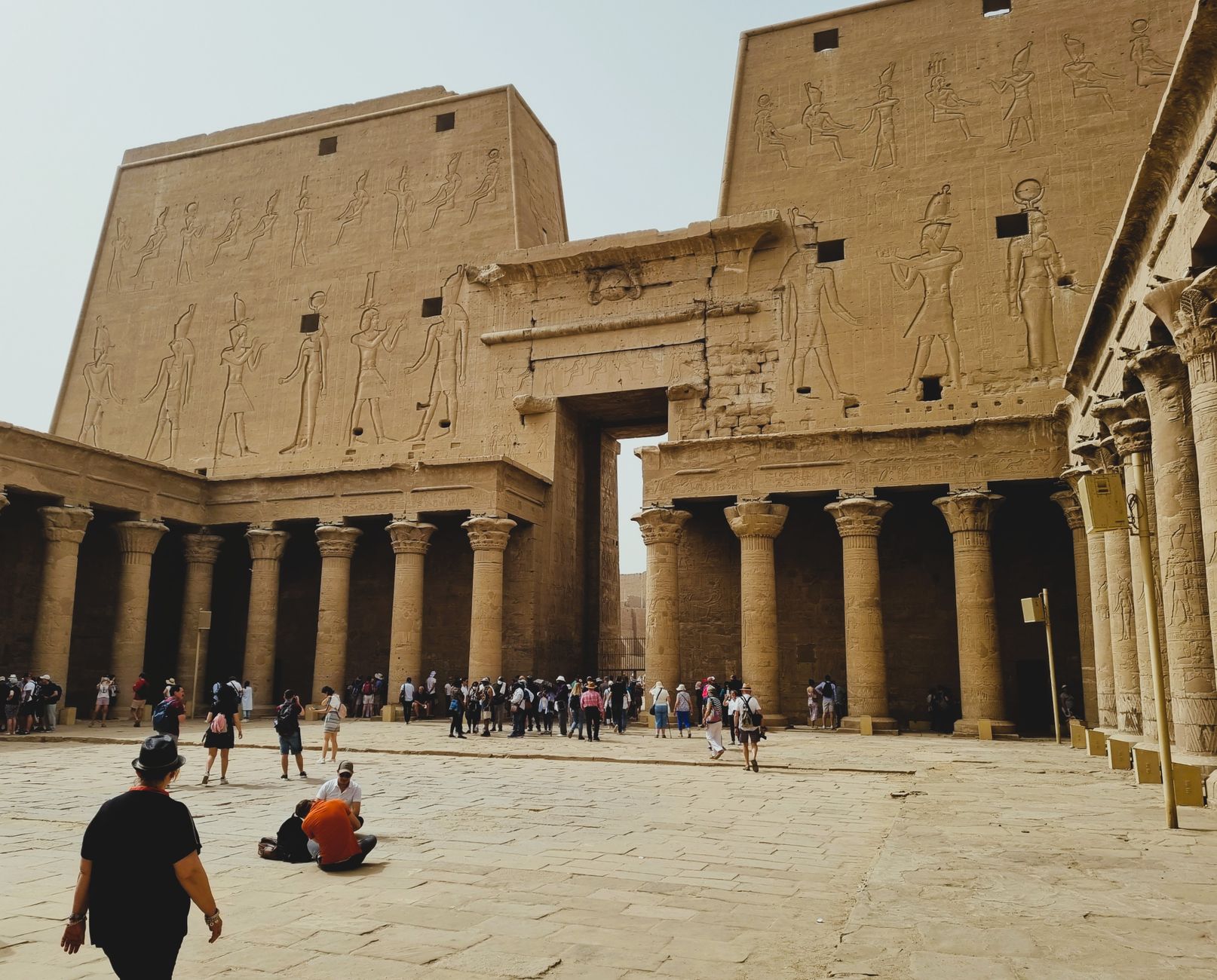
Temple of Horus at Edfu
Sandstone temple honouring Horus; classic example of Egyptian temple architecture and popular cruise stop.
Step Pyramid at Saqqarah
Designed by King Djoser's architect during 3rd dynasty; probably the earliest stone building of importance in Egypt.
Valley of the Queens
West bank burial site holding more than 80 tombs including that of Queen Nefertari.
Colossi of Memnon
Two 18-metre tall stone statues of Pharaoh Amenhotep III on the west bank of the Nile.
Aswan High Dam
Completed in 1970; world's largest embankment dam, reshaped the Nile's flow and necessitated relocation of temple complexes.
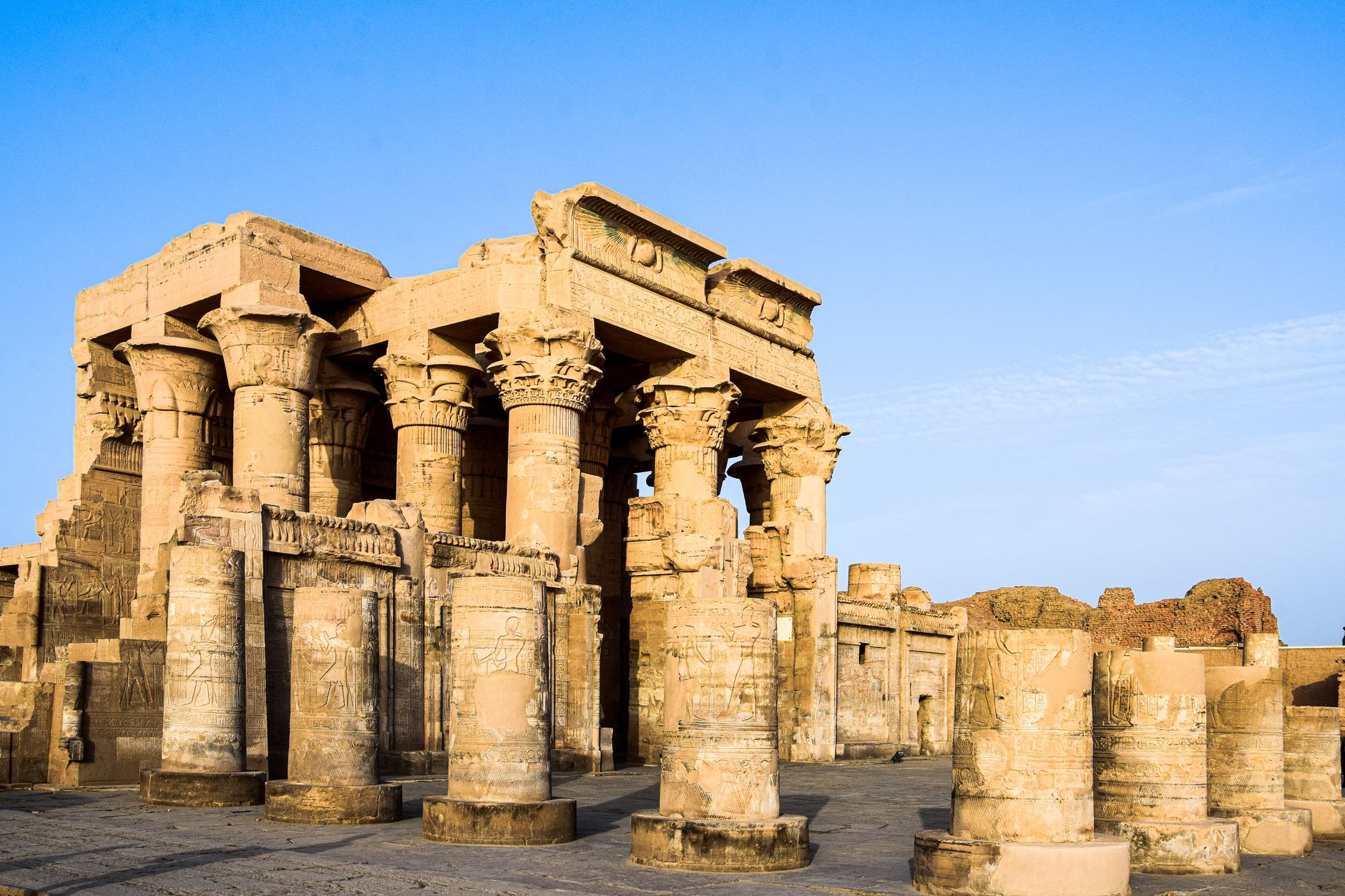
Kom Ombo Temple
Temple accessible by Nile cruise between Luxor and Aswan.
Practical

Plan your visit

On the map

When to go

Winter (November through February) brings mild days between 15°C and 25°C and cool nights — by far the most comfortable window for moving between outdoor sites. By summer, temperatures between Luxor and Aswan regularly reach 41°C or higher, and the spring months of March and April carry the risk of the Khamsin wind, which drives thick dust storms across the valley.

Right now

☀️
29°C
Clear
Sat
☀️
40°
24°
Sun
☀️
42°
27°
Mon
☀️
43°
28°
Tue
☀️
41°
27°
Weather data: Open-Meteo

↡ Cities


Background & history adapted from Wikipedia (CC BY-SA) · specs from Wikidata (CC0) · weather from Open-Meteo · map data © OpenStreetMap contributors · photos from Wikimedia Commons / Unsplash with per-image credit. No third-party reviews or social posts reproduced.

Top