
Oud-West
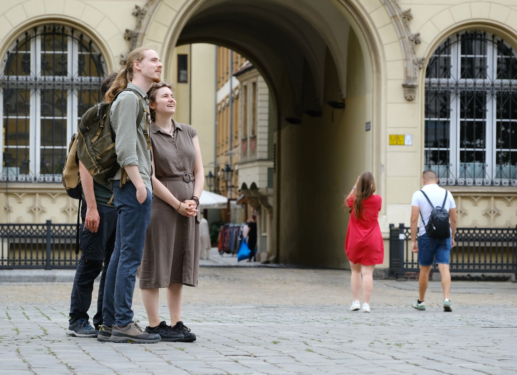
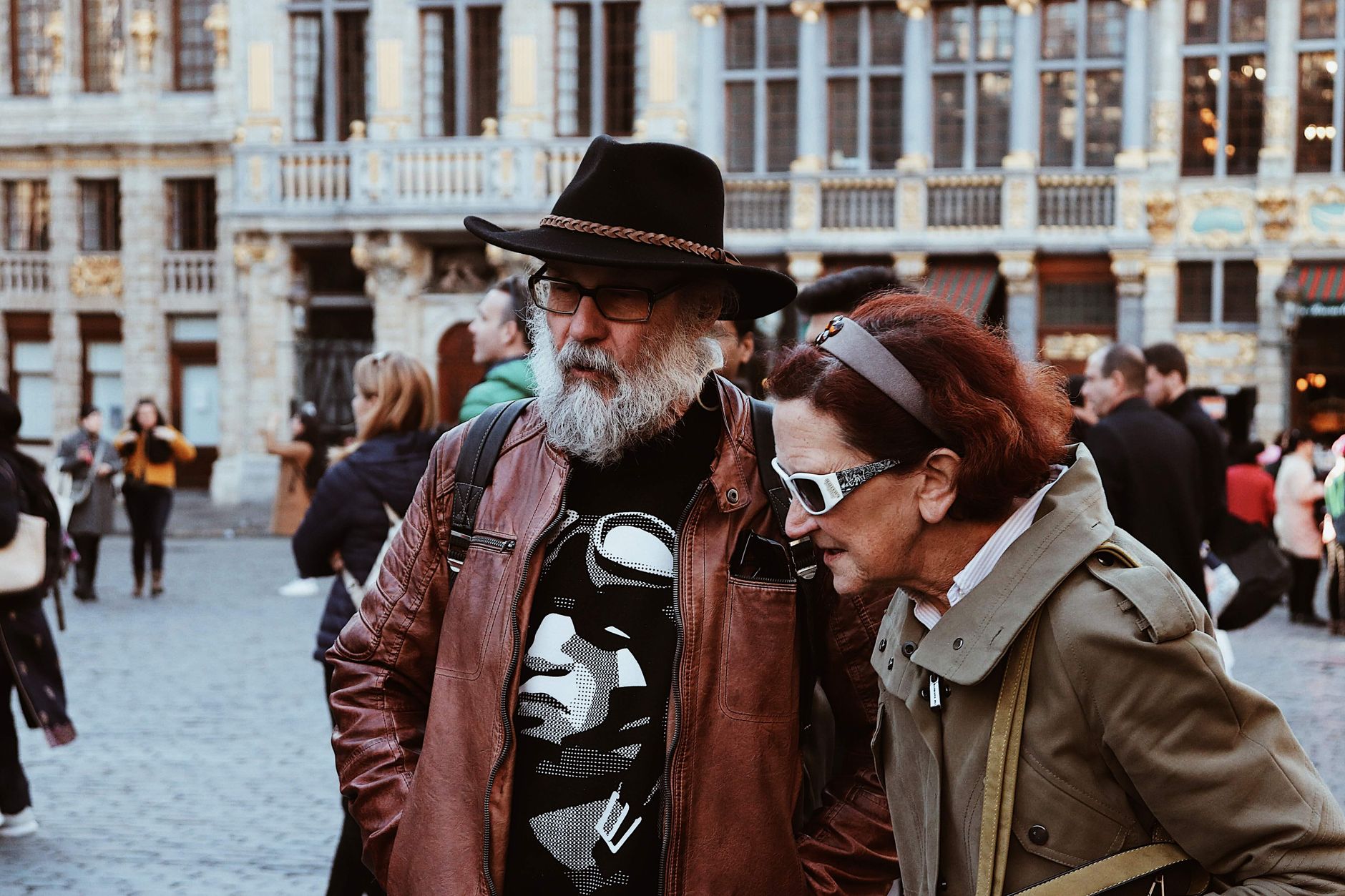
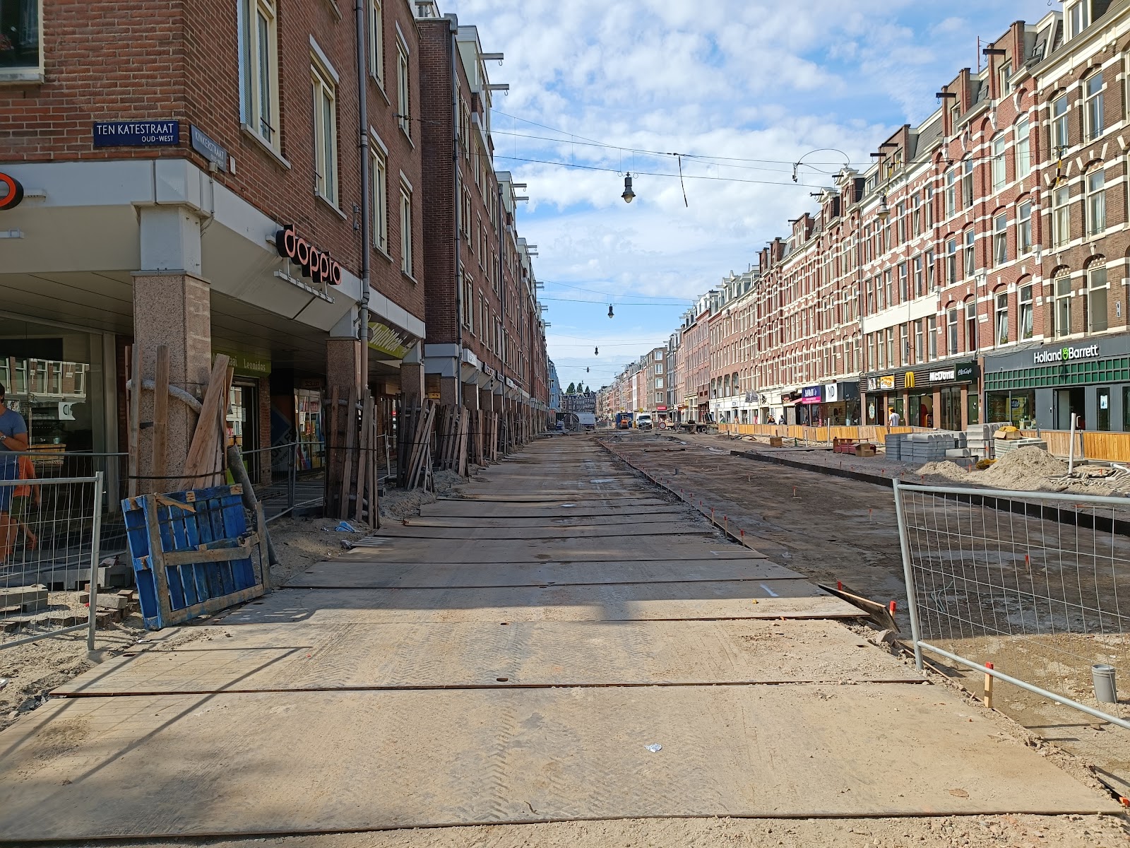
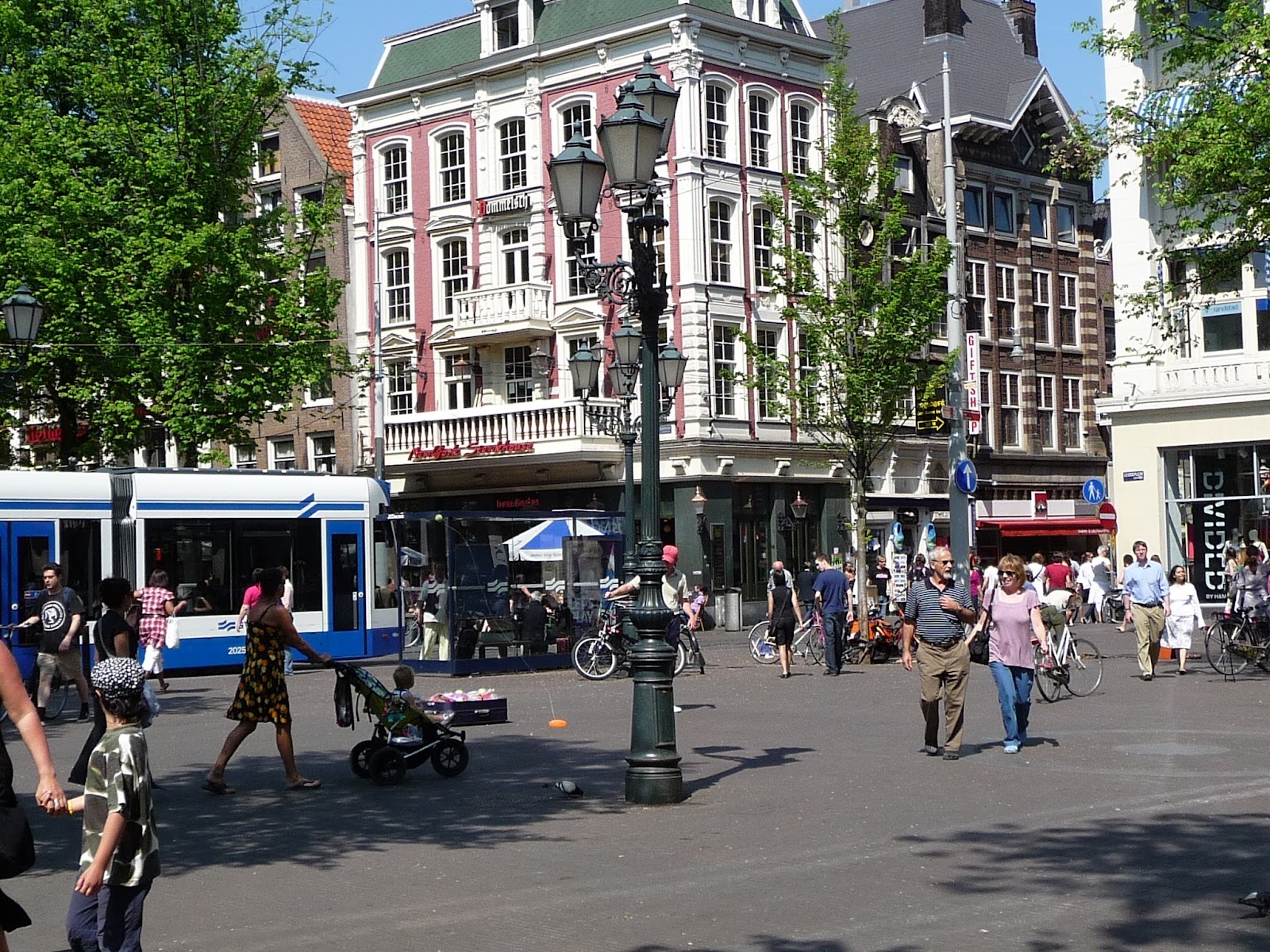
The first thing you notice on Kinkerstraat is that nobody is performing Amsterdam for you. The trams clatter past old Dutch terraces and tiny independent shops that have outlasted several waves of reinvention, and the coffee at any number of neighbourhood cafés arrives without ceremony. Oud-West sits just west of the canal belt, close enough to the centre to be convenient, far enough to have its own tempo.
This is a neighbourhood built for living in — and the architecture says so. The 19th-century apartment blocks were thrown up fast and cheap for working families, then argued over, squatted in, gentrified, and gradually settled into something that feels, for Amsterdam, unusually grounded.
💛 What travellers fall for
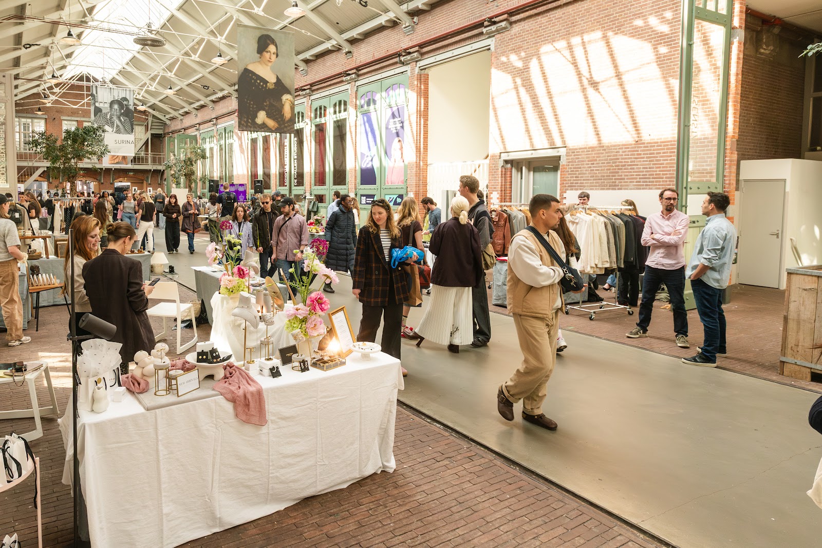
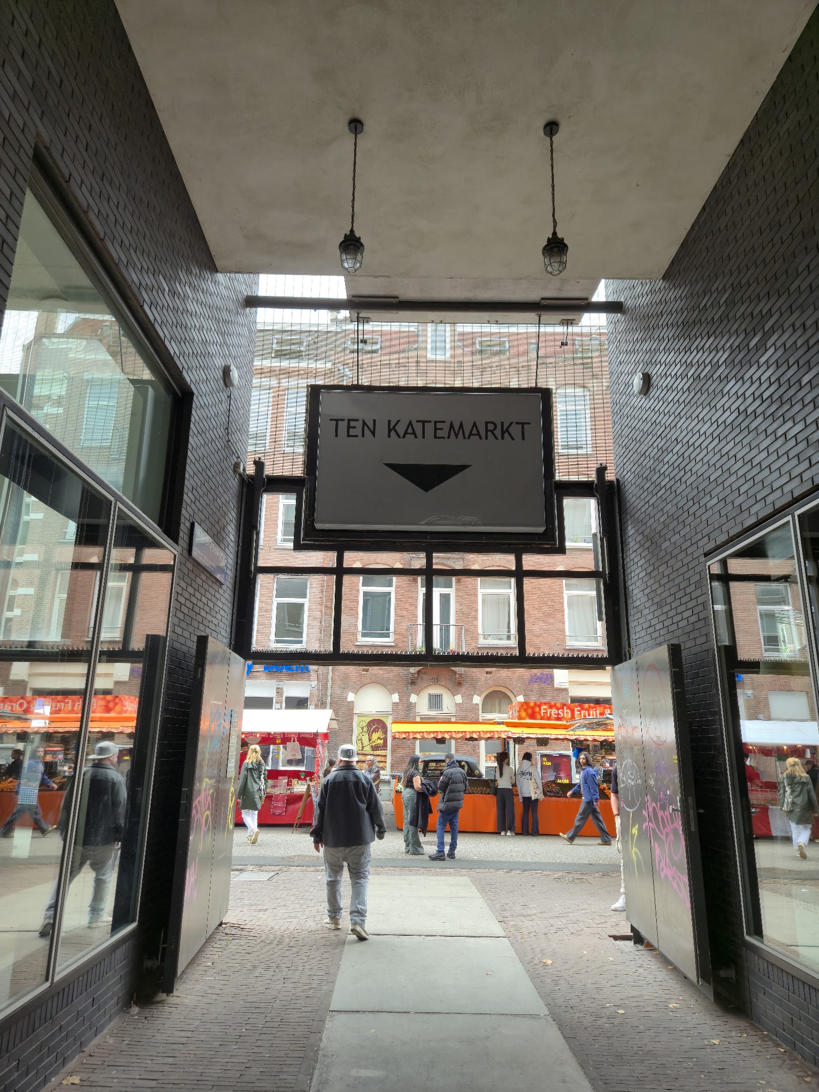
People who come back tend to anchor their day at Ten Katemarkt — more than a hundred stalls, worth arriving early for the fish and the flowers — before drifting into De Hallen, the old tram depot on Hannie Dankbaarpassage that now holds a food hall, a library and a design hotel under one industrial roof. The Boomzagertje statue, a small bronze of a man sawing through an actual tree branch, is easy to miss and worth finding.
Deals in Oud-West
Book directly at the provider


How Oud-West came to be
Oud-West grew out of Amsterdam's rapid westward expansion in the final decades of the 19th century. The first street laid down was Vondelstraat, designed by architect Pierre Cuypers, and the neighbourhoods that followed — Kinkerbuurt, Overtoombuurt, Staatsliedenbuurt — were defined by revolutiebouw: quickly built, affordable blocks for workers and middle-class families. The 1901 Housing Act forced a reckoning with those conditions, demanding better standards for ordinary residents.
In the post-war decades, a severe housing shortage — empty buildings standing alongside families with nowhere to go — turned squatting from necessity into identity. By the 1980s it had become a serious anarchist social movement. A wave of immigration followed by 1990s gentrification reshaped the neighbourhood again, and in 2010 Oud-West ceased to be its own borough, merging into the larger Amsterdam-West.
Who and what shaped it
People who shaped it
Landmark buildings
See Oud-West in motion
Plan your visit
On the map
When to go
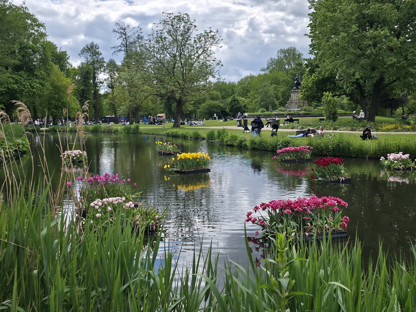
Amsterdam runs temperate and damp year-round. Summer (June–August) sits around 15–22°C and suits the outdoor market and Vondelpark well; spring and autumn are cooler but often clear, and the neighbourhood's cafés and indoor spaces like De Hallen and LAB111 make winter visits (2–6°C) perfectly workable.
Right now
↡ Attractions

Background & history adapted from Wikipedia (CC BY-SA) · specs from Wikidata (CC0) · weather from Open-Meteo · map data © OpenStreetMap contributors · photos from Wikimedia Commons / Unsplash with per-image credit. No third-party reviews or social posts reproduced.