
Karwendelbahn (Mittenwald Cable Car)
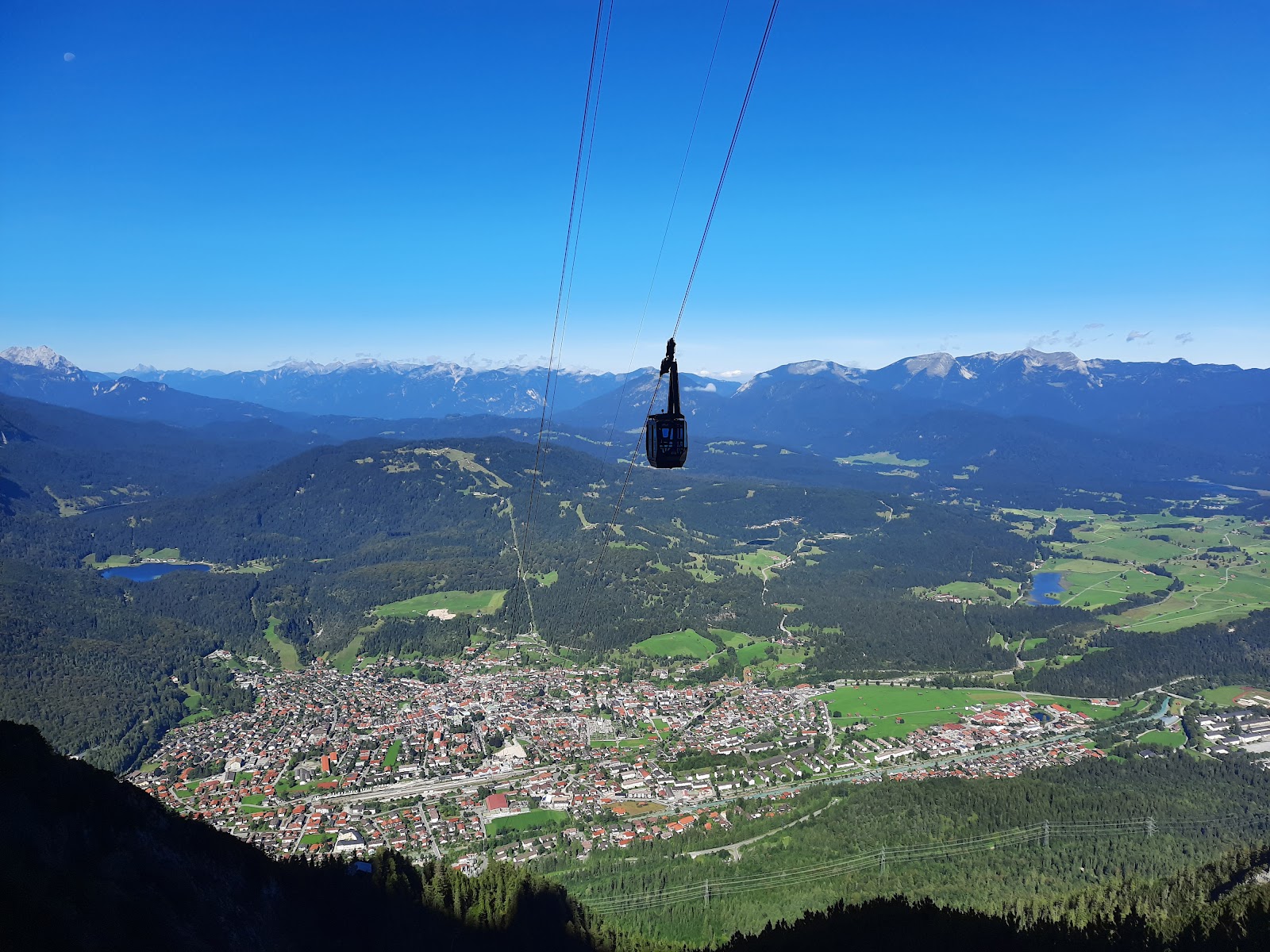
Seven minutes and 1,311 vertical metres separate the valley floor from the Karwendel ridge. The gondolas — named Karwendelkristall — make no intermediate stops, swinging past sheer rock walls and the cirque of Karwendelkar before depositing you at 2,244 metres, where the mountain inn keeps 200 seats on its sun terrace and the local registry office maintains a field station for anyone who wants to get married at altitude.
At the top, a larch-clad building shaped like an oversized telescope houses Germany's highest nature information centre, Bergwelt Karwendel, which won the Alpine Convention's Sustainability Award in 2009. Behind it, in the strictly protected Karwendel pit, rock ptarmigans live undisturbed.
💛 What travellers fall for
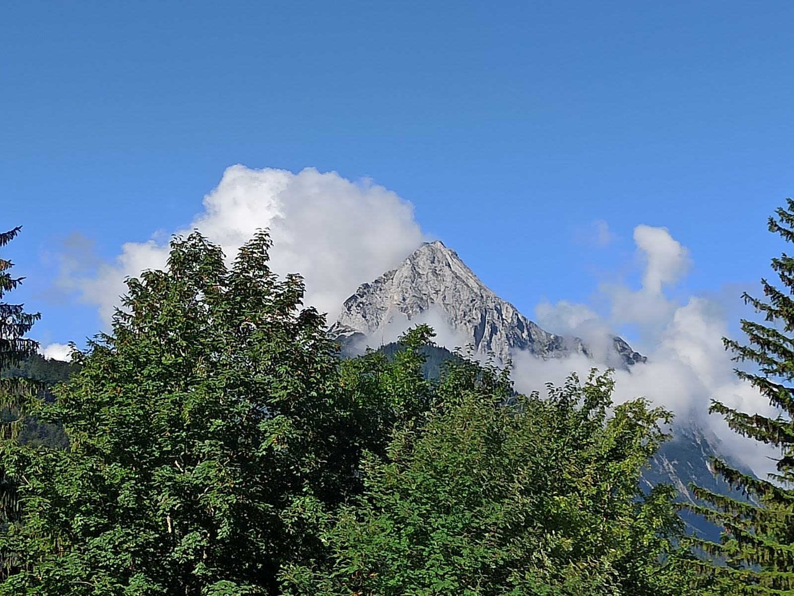
People who return tend to time a Thursday evening in summer for the sunset gondola — weather permitting, the light on the Karwendel walls is something else. The afternoon ticket discount after 2 PM is worth knowing about, and the late hiking ticket from 3:30 PM suits anyone walking down rather than riding.
The story behind Karwendelbahn (Mittenwald Cable Car)
Hans Hofmann, a Munich butcher with an unlikely sideline in mountain infrastructure, founded Karwendelbahn GmbH in 1954 and set his sights on a cable car to the Karwendel ridge. The original estimate was 2.5 million Deutschmarks and an opening in 1957. Neither held. Difficult terrain drove costs past double the projection, the state withheld its loan guarantee, and construction halted in spring 1958 with the project on the edge of collapse.
Mittenwald's mayor, Josef Brandner, refused to let it die. He brokered a rescue in which banks, construction companies, local citizens and the municipality shared the final bill of 5.2 million marks. The first gondola ascended on 7 June 1967 — a decade after the original target. The Mittenwalder Höhenweg via ferrata opened in 1973, a tunnel to Dammkar followed in the mid-1970s, and the telescope-shaped nature centre arrived in 2008.
Good to know
The valley station sits on Mittenwald's eastern outskirts — about 15 minutes on foot from the railway station via Dammkarstraße and Mühlenweg, or a short hop on the summer hiking bus. Gondolas run every 30 minutes; the last ascent departs 30 minutes before closing. Budget around two hours for the full experience.
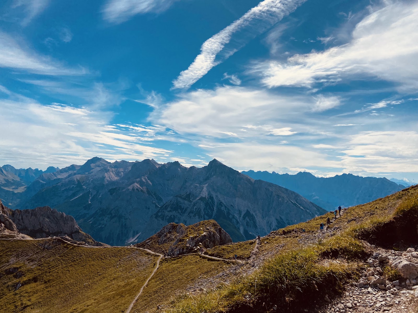
Even in June, snow lingers on the summit ridge and cloud can close in without much warning. Bring a warm layer regardless of conditions in the valley — the terrace at 2,244 metres plays by its own rules, and the wind along the ridge can be sharp on otherwise clear days.
Where is Karwendelbahn (Mittenwald Cable Car)?
More tickets & tours for Karwendelbahn (Mittenwald Cable Car)
Book directly at the provider
What travellers say about Karwendelbahn (Mittenwald Cable Car)
In a region brimming with thrilling cable cars, this one stands out. The ride up is spectacular and the staff are top notch.
I will be honest. This cable car was not in the plans (I did not even know about it) and I had low expectations. It was simply amazing. I think it was even better than the one in Innsbruck. I can describe below. Accessibility: parking for cars and shop in the boarding area. Staff: very cool people. They are not there to serve people (as some users might think), they are working. I had a great tour up and down, and I am not a german speaker (only english) but still they were the best references when we had questions. View: amazing view. You can clearly see Mittenwald and other high peaks. Also the boarder Germany/ Austria is there at the top. Restaurant at the top: you have to try the restaurant with that great view. I do not drink, but the brewery has a good reputation and it’s special to have a brewery so high in the top. The goulash soup with Pretzel was the best 🤩 When I visited: Summer 2025
On a sunny afternoon we took the Bergbahn up with a few other people. It was super quiet. At the top there’s a restaurant and if you want to check out more views of the surrounding mountains, you can walk the Panorama Trail. We were there in early May and there was still some snow. We had a great (sunny) time.
Card is accepted. But the drivers were not friendly, grumpy! Resturant on the top was nice in terms of beautiful mountain view and food. But food option was limited for obvious reasons:)
It is rather expensive however the views/experience are worth it. Note you pay a €5 deposit / per ticket which you get back at the end if you return your ticket. It could be better organised if there was a designated queue for ticket PURCHASES and, separately, a queue for ticket RETURNS. We came at 8.30am and had to wait ~30 mins before boarding the cable car (this included time to purchase the ticket and to wait for the next cable car)
More of Mittenwald
Discover where to stay, what to do and the best deals for your trip.
Explore Mittenwald →More attractions in Mittenwald
All of Mittenwald →
Background adapted from Wikipedia (CC BY-SA) · map data © OpenStreetMap contributors · ratings & place photos via Google · other photos with per-image credit. Ticket links may earn us a commission at no extra cost to you.