
Ferchensee
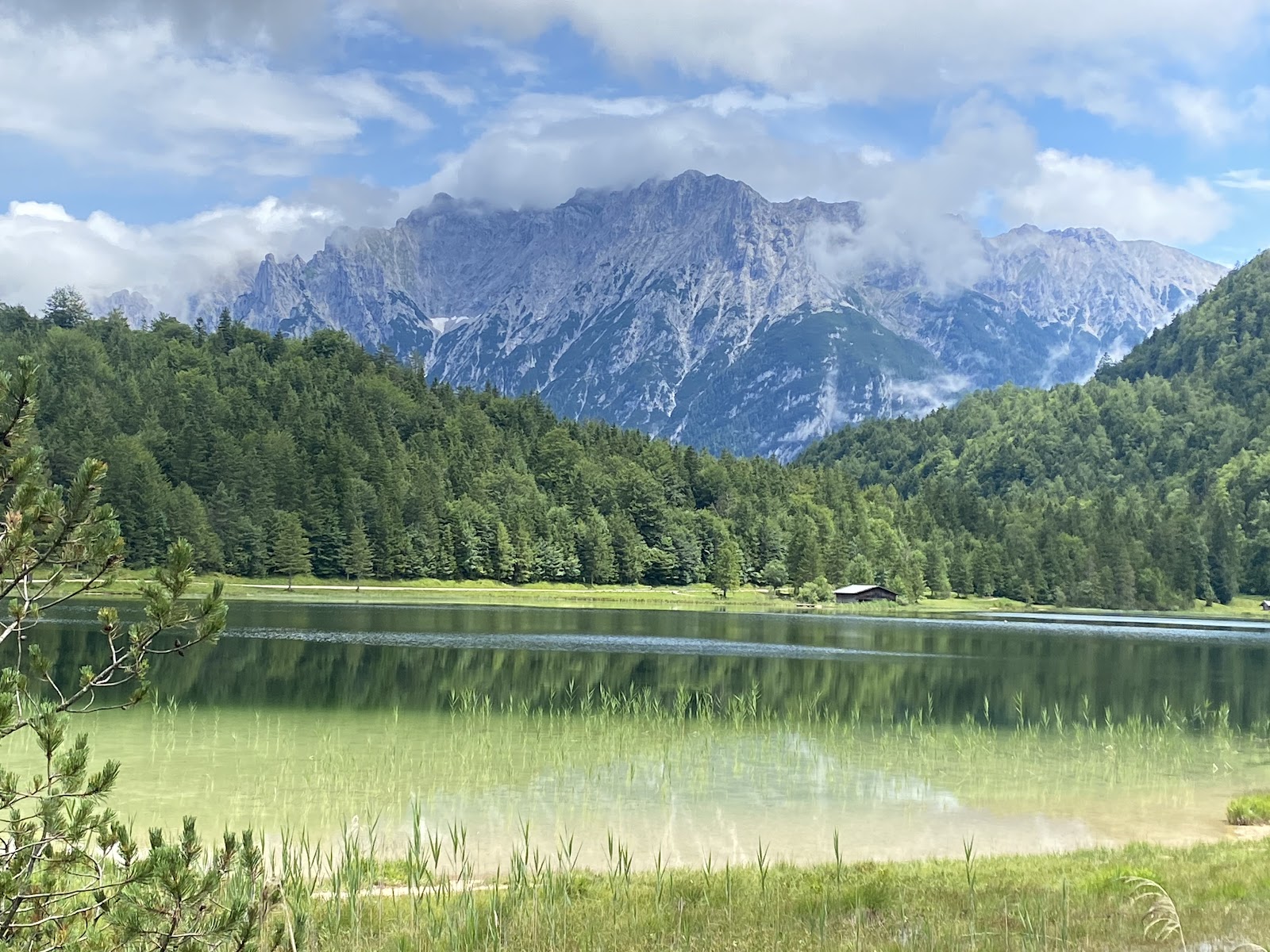
A strip of white sand along the northern shore, the Wetterstein cliffs reflected almost perfectly in water cold enough to wake you up — Ferchensee sits at 1,060 metres above Mittenwald and operates at a different pace from the valley below. Cars can't reach it. The private roads that lead here keep most casual visitors away, which is precisely why the grass around the shore stays quiet enough to claim a patch of your own.
The lake is one of ten shaped by glaciers around Mittenwald, Krün and Wallgau, and it shows: the water is clear, the basin deep, and on still mornings the cliffs double themselves in the surface with an almost unsettling precision.
💛 What travellers fall for
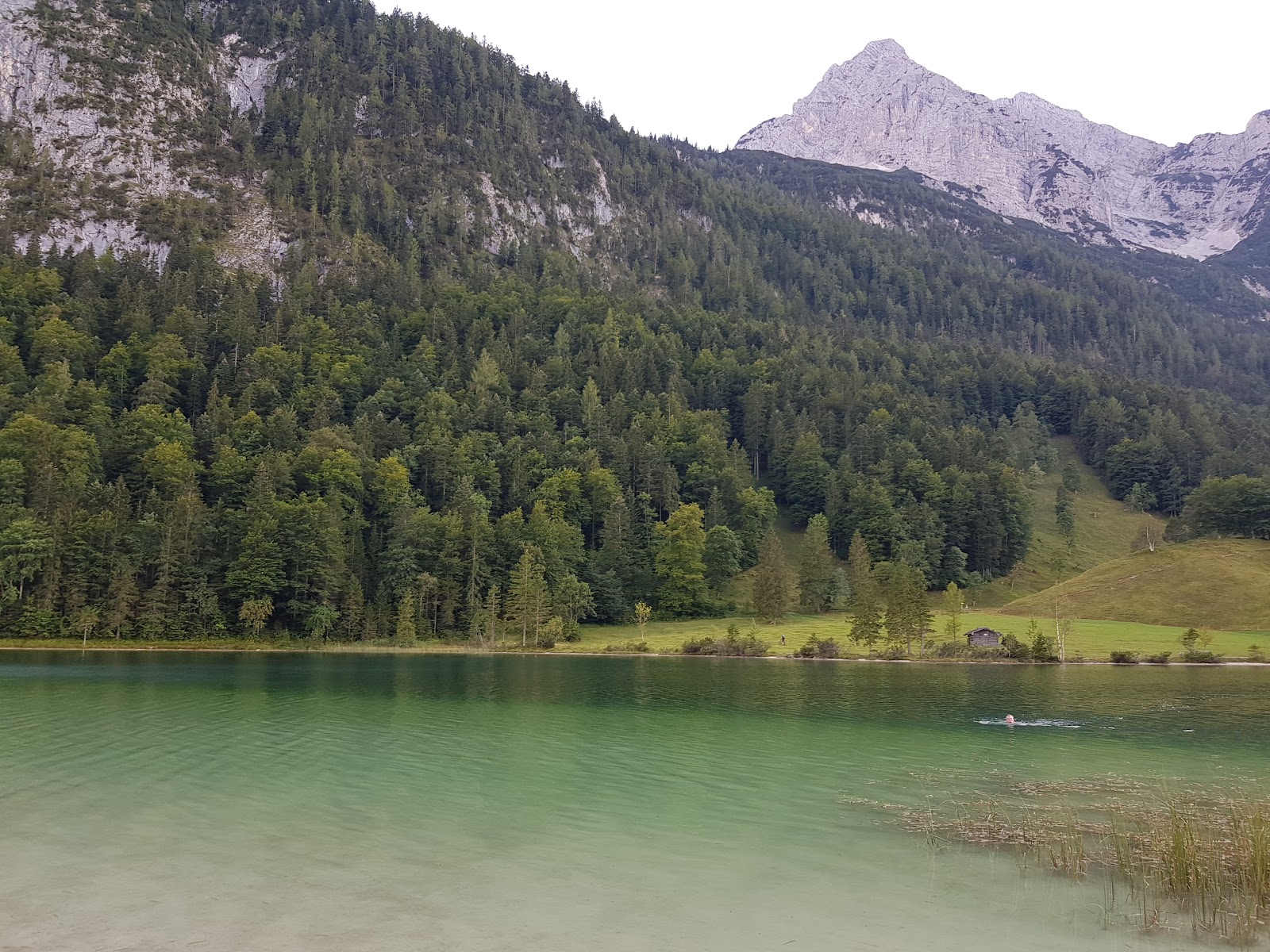
People who come back tend to bring cash — Gasthaus Ferchensee, the family-run inn on the shore, doesn't take cards, and a plate of Bavarian food eaten at a lakeside table with the Wetterstein behind it is worth planning for. Regulars also note the carp moving slowly through the water lilies along the eastern shore, easy to watch from the bank.
The story behind Ferchensee
Ferchensee has no founding date or human architect — it was left behind by glaciers at the end of the last Ice Age, along with the nine other lakes scattered across the Mittenwald, Krün and Wallgau area. The same slow violence of ice and meltwater that carved the Karwendel valleys above the town also gouged out this basin and filled it.
What arrived later — the Gasthaus on the shore, the meadows grazed flat enough to lie on — grew quietly around a lake that was already ancient. No particular event marks it on a map. It simply remained, at altitude, while the valley below it accumulated a town.
Good to know
About 3 km west of Mittenwald, roughly 45 minutes on foot uphill or a short summer-only bus ride from the train station (around €6 return). No parking near the lake. Swimming is free. Bring cash for the Gasthaus and check the tourist office for the seasonal bus timetable before you go.
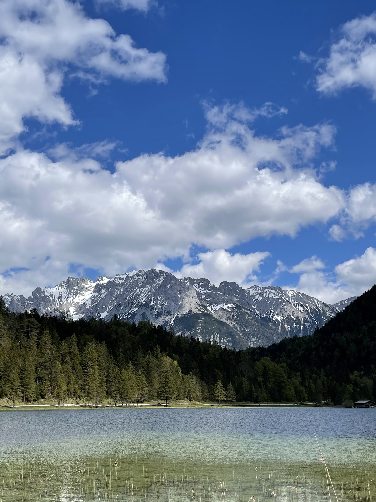
Summer (June to August) is the main season: water temperatures reach 16–20°C and the lake is swimmable, the hiking bus runs, and the days are mostly sunny with some afternoon rain. In winter the lake can freeze solid enough for ice skating and occasional ice hockey, and cross-country skiers pass through when snow covers the surrounding meadows. Spring and autumn are quieter, cooler, and often beautiful for the walk up.
Where is Ferchensee?
More tickets & tours for Ferchensee
Book directly at the provider
What travellers say about Ferchensee
Perfect place to enjoy Mother Nature and silence to the full. Crystal clear water with the mountains in the background.
We went to Lautersee and Ferchensee von Mittenwald, both easy for relaxed hiking, breathtaking views.
What a lake! Amazing view to the mountains, crystal clear water surrounded by wonderful green trees ☺️
A really amazing place to take a nice walk or a hike. The mountains surround this beautiful lake and it is definitely something to see
It's Beautiful but freezed rgt now
More of Mittenwald
Discover where to stay, what to do and the best deals for your trip.
Explore Mittenwald →More attractions in Mittenwald
All of Mittenwald →
Background adapted from Wikipedia (CC BY-SA) · map data © OpenStreetMap contributors · ratings & place photos via Google · other photos with per-image credit. Ticket links may earn us a commission at no extra cost to you.