
Capo d'Orso
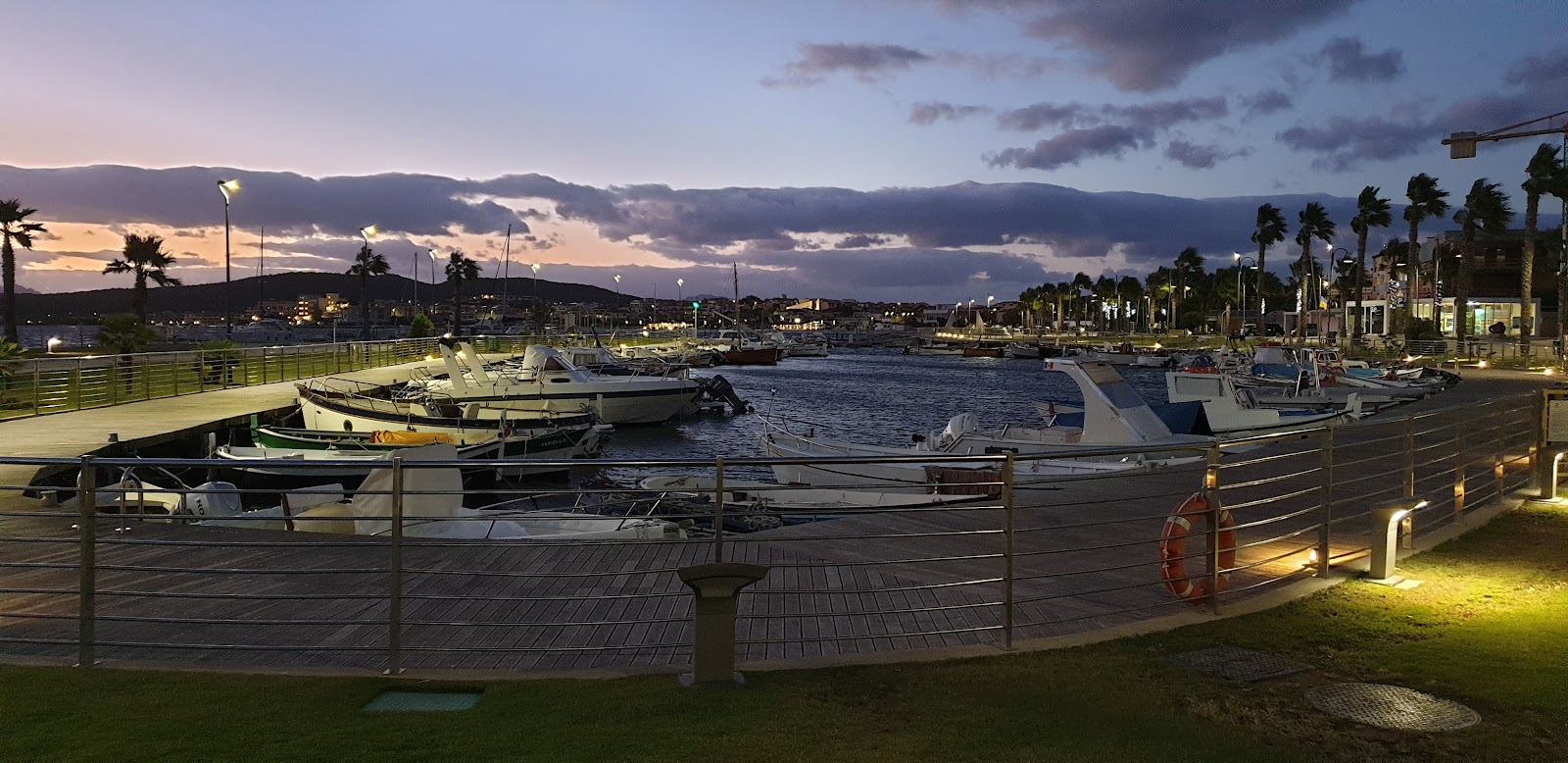
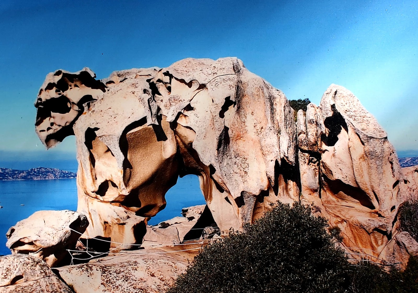
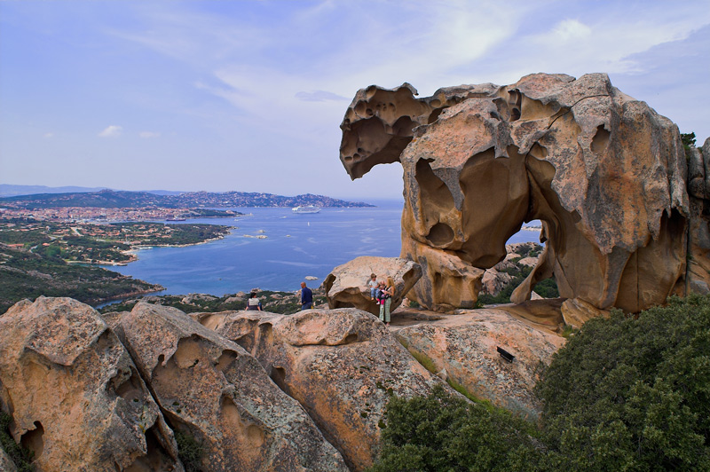
The name comes from the rock itself: a limestone outcropping at the tip of the promontory that, from the right angle, reads as a bear's head pushing into the Tyrrhenian. That's the kind of place Capo d'Orso is — one where the landscape does the explaining. The headland rises from the SS 163 coastal road to over a thousand metres at Monte Falerzio, and the trail up through macchia mediterranea, oak, and chestnut gives you the full sweep: Ravello, Amalfi, the Galli Islands, and on clear days the Faraglioni off Capri.
At the high point sits the lighthouse, built in 1882, a two-storey keeper's house in red and white with a white lantern that still sends three flashes every fifteen seconds across thirty kilometres of open sea. Nobody lives there now — the Marina Militare automated it long ago — but the building anchors the headland.
💛 What travellers fall for
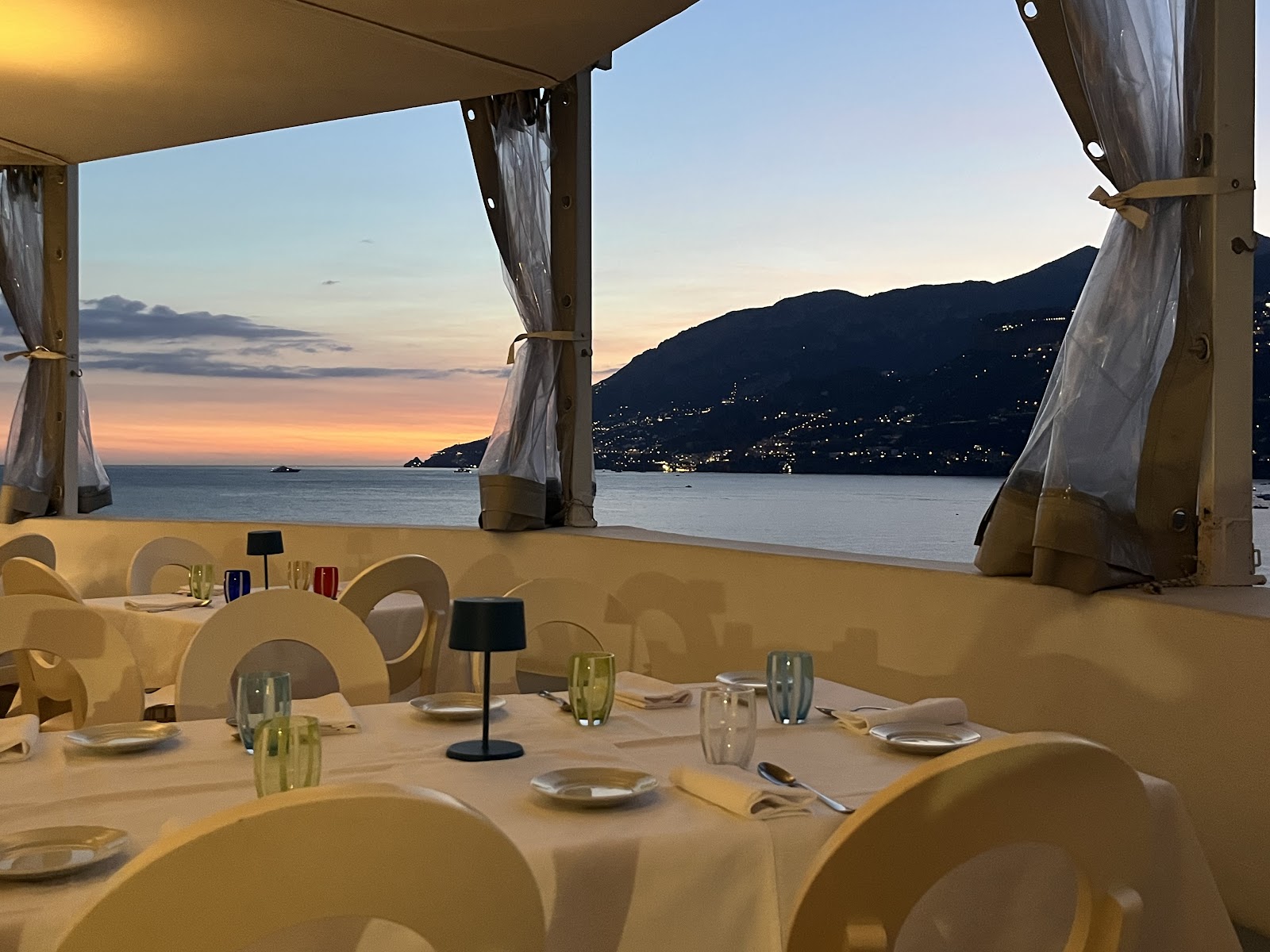
People who come back tend to time the climb for late afternoon, when the light drops behind the ridge and the coastal towns below go amber. The Michelin-starred Il Faro di Capo d'Orso restaurant, perched on the natural rock formation just off the promontory, takes reservations and runs a free shuttle from Maiori — worth the 24-hour advance call.
The story behind Capo d'Orso
On the evening of 28 April 1528, the waters off this headland were the site of a naval battle during the War of the League of Cognac — one of those engagements that reshaped Mediterranean power and left no monument on the shore. The promontory itself was already ancient geography long before the fight.
The first lighthouse here dates to 1862; the current structure replaced it in 1882. Below the cliff face, just visible from the cape, stands the Abbey of Santa Maria de Olearia, founded by Benedictine monks in 974 on the site of a former oil mill. Three chapels are stacked one above the other inside the rock, the lowest holding 11th-century frescoes of the Virgin with saints — older than almost anything else on this stretch of coast.
Good to know
The trail up from the SS 163 is the main approach — no car access to the lighthouse. SITA buses link Maiori to Amalfi and Salerno every 30–60 minutes. Ferries run April through October. The natural park covers 500 hectares; wear shoes with grip and bring water.
Spring and autumn are the clearest seasons for the climb, with reliable visibility across to Capri and manageable temperatures on the exposed upper trail. Summer brings haze and heat that can make the ascent uncomfortable by midday; if you go in July or August, start early.
Where is Capo d'Orso?
Location
- In Maiori
- 40.6450, 14.6550
- Open in Google Maps
More tickets & tours for Capo d'Orso
Book directly at the provider
More of Maiori
Discover where to stay, what to do and the best deals for your trip.
Explore Maiori →More attractions in Maiori
All of Maiori →
Background adapted from Wikipedia (CC BY-SA) · map data © OpenStreetMap contributors · ratings & place photos via Google · other photos with per-image credit. Ticket links may earn us a commission at no extra cost to you.