
Bang Krachao
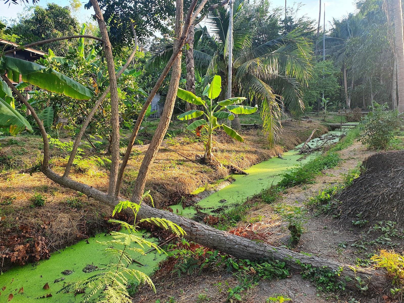
A short ferry crossing and a rented bicycle are all it takes to leave Bangkok behind entirely. Bang Krachao sits inside a deep loop of the Chao Phraya River — technically part of Samut Prakan Province, though Bangkok's skyline stays close enough to remind you of the contrast. Sixteen square kilometres of canals, fruit orchards, temple yards and dense green canopy fill the interior, most of it deliberately kept free of development.
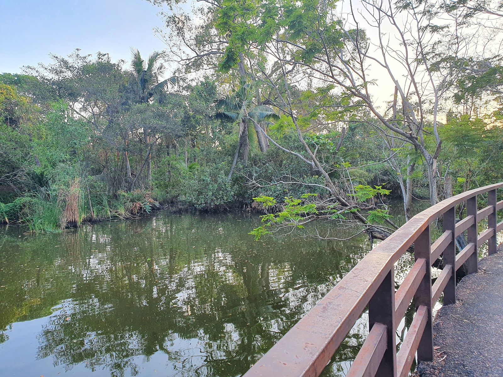
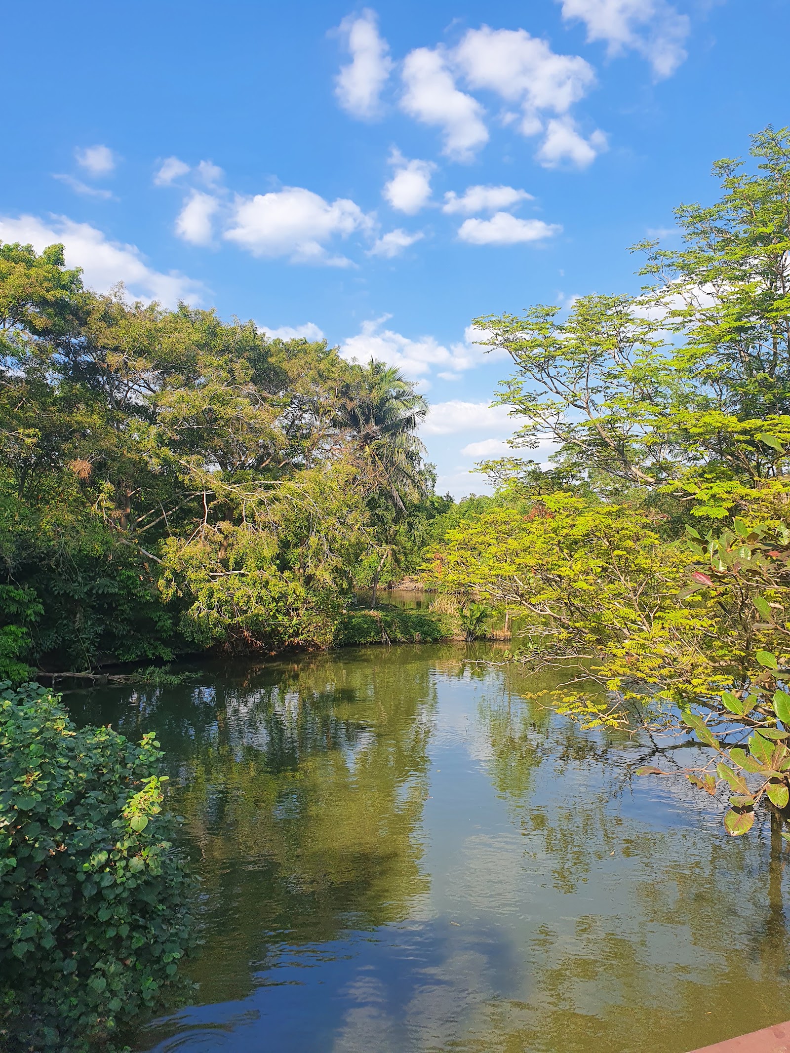
Sri Nakhon Khuean Khan Park anchors the island's cycling circuit: paved paths wind past small wooden bridges, a one-kilometre unpaved jungle trail cuts through the back of the park, and the whole thing costs nothing to enter. On weekends, the Bang Nam Phueng Floating Market pulls covered stalls along the canal edge, selling grilled things and handmade goods from early morning until midday.
💛 What travellers fall for
People who come back tend to time the ferry to arrive just after 7am on a Saturday — the floating market is quietest in that first hour, before the tour groups arrive. Rent a bike from the stalls right at the pier rather than hunting further in. The unpaved trail behind Sri Nakhon Khuean Khan Park is easy to miss; look for the gap in the fence line past the second wooden bridge.
The story behind Bang Krachao
The island's shape is partly engineered. In the 1780s, maritime authorities cut a small canal across a narrow neck of land to shorten river travel by around 18 kilometres — that original shortcut is what made Bang Krachao an island at all. The Mon community, originally displaced from Burma, settled here and has remained for more than a century, giving the six sub-districts a distinct character from the mainland districts across the water.
The canal was later deepened and widened — to 65 metres and 7 metres deep — with four floodgates installed to manage seasonal flooding, a project associated with King Rama IX. After King Bhumibol's death in 2016, the military government committed to preserving the island's character; the Royal Forestry Department, Kasetsart University and PTT undertook a three-year renovation of its green spaces, with a mandate that 60 percent of the island remain undeveloped.
Good to know
Take the MRT to Khlong Toei, then a short taxi to Wat Khlong Toei Nok Pier; the ferry runs every 15 minutes and costs 10 THB. Bikes rent for around 100 THB for the day. Allow three to five hours for cycling; add the floating market (Saturday–Sunday, 7am–3pm) for a full day. No entrance fees anywhere.
Bang Krachao is hot year-round, with April temperatures reaching close to 37°C and heavy rain falling from mid-May through October — July being the wettest month. November through February offers the most comfortable cycling weather, with slightly lower humidity and temperatures settling around 27°C; December and January are the easiest months to spend a full day outdoors.
Where is Bang Krachao?
Location
- In Bangkok
- 13.6960, 100.5662
- Open in Google Maps
More tickets & tours for Bang Krachao
Book directly at the provider
More of Bangkok
Discover where to stay, what to do and the best deals for your trip.
Explore Bangkok →More attractions in Bangkok
All of Bangkok →
Background adapted from Wikipedia (CC BY-SA) · map data © OpenStreetMap contributors · ratings & place photos via Google · other photos with per-image credit. Ticket links may earn us a commission at no extra cost to you.