Alto de Mezkiritz Pass Viewpoint
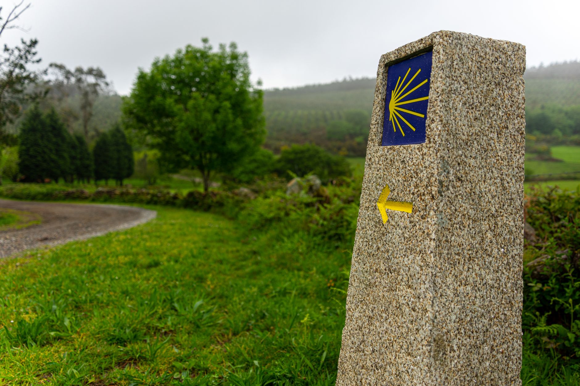
Drive or cycle nine kilometres east of Burguete on the NA-2040 toward Erro and you reach the Alto de Mezkiritz, a mountain pass at 893 metres where the road crests and the whole Pyrenean front range suddenly opens up before you. There is a gravel lay-by, a weathered stone marker and, on clear days, views that stretch from the French border ridges all the way south to the Pamplona basin.

The View & the Light
The best light falls in the two hours after sunrise, when low-angle rays pick out every fold of the beech-covered slopes and the valleys below fill with a thin white mist. Photographers set up here in October when the forest colour is at its peak and the contrast between golden canopy and dark fir is at its most dramatic.
Looking north you can trace the ridge that forms the Spain–France border, the same ridge that Hemingway's characters crossed in The Sun Also Rises. On the clearest winter days after a cold front, the Pic d'Orhy (2,017 m) is visible above the tree line.
Getting There & Combining with a Walk
The pass is driveable in any car and takes about 15 minutes from Burguete. Cyclists on the Camino de Santiago variant through the Erro Valley pass through here, and the gradient is steady rather than brutal.
A short unmarked path from the lay-by climbs the grassy ridge to the north, gaining another 80 metres of elevation in about 20 minutes and rewarding you with a 360-degree panorama that includes the Irati plateau to the west and the Erro Valley to the east.
More of Burguete
Discover where to stay, what to do and the best deals for your trip.
Explore Burguete →