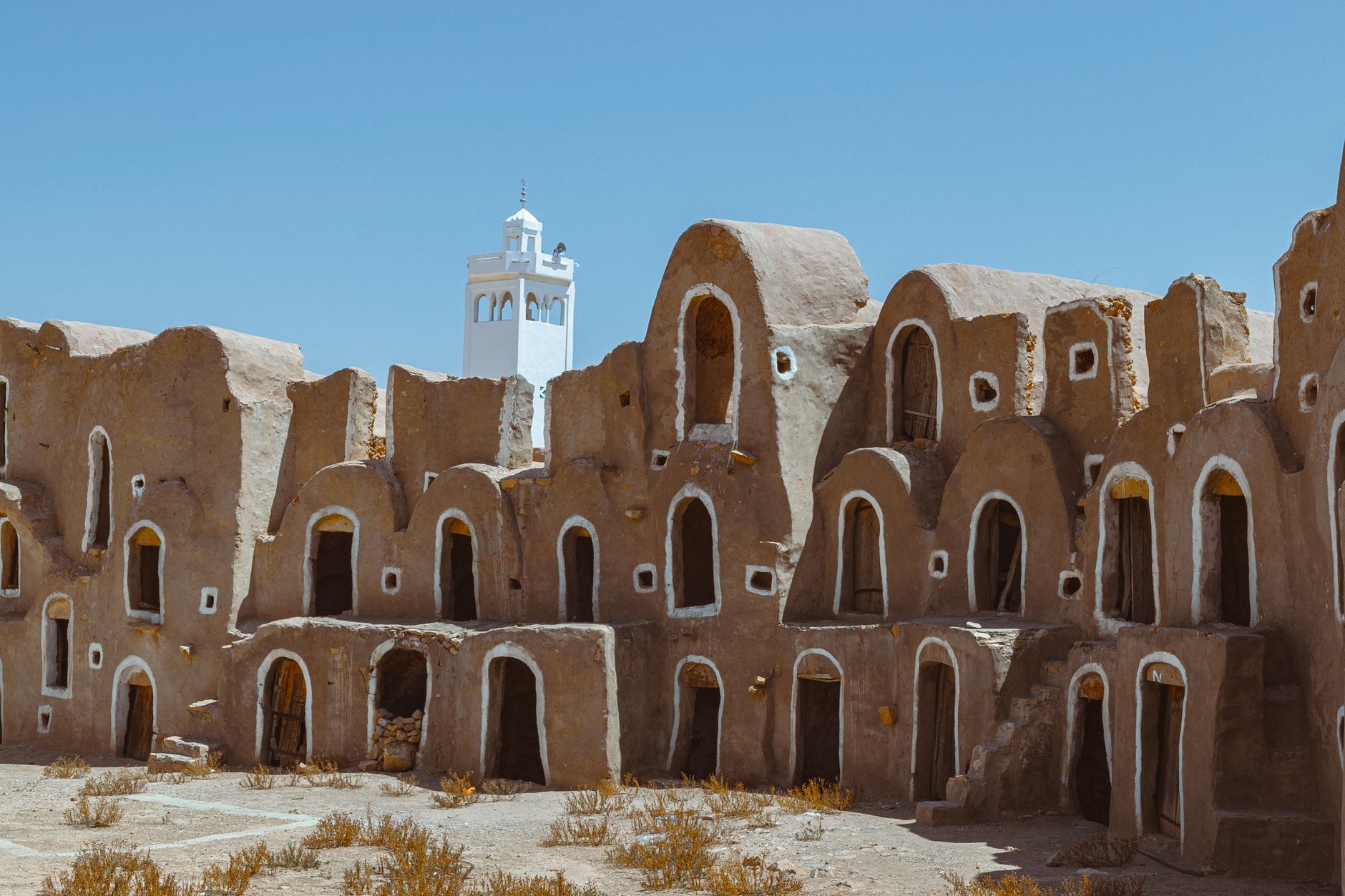
Djebel Béchar Highland Panorama
Southeast of the city, the rugged Djebel Béchar highlands surge to 1,206 metres above the surrounding desert plain, offering one of the most dramatic panoramas in western Algeria — a 360-degree sweep of sand dunes, folded rock ridges, and the green ribbon of the oasis below. Sunrise here is simply unforgettable.

The View from the Top
From the upper slopes of Djebel Béchar, the city shrinks to a cluster of flat rooftops hemmed in by the golden Sahara on all sides. To the north, the folded Paleozoic ridges of the Béchar Basin — photographed from the International Space Station — stripe the landscape in bands of tan and dark brown. To the south, sand dunes drift toward the horizon.
The Djebel Antar range, reaching 1,953 metres further to the northeast, frames the skyline on clear winter days and adds depth to what is already a staggering landscape. Bring a telephoto lens to capture the textural contrast between the city's palm groves and the bare rock escarpments.

Hiking & Getting There
A network of rough pistes and footpaths leads up from the city's southeastern edge. The ascent is manageable for fit walkers in two to three hours, though the terrain is rocky and exposed — sturdy boots, sunscreen, and at least two litres of water per person are non-negotiable.
Local 4×4 hire is available in Béchar for those who want to reach the upper viewpoints without the full hike. The best light for photography falls in the hour after sunrise and the 45 minutes before sunset, when the desert below glows amber and the shadows in the rock folds deepen dramatically.

More of Béchar
Discover where to stay, what to do and the best deals for your trip.
Explore Béchar →