
Steinbach Lake (Steinbachsee)
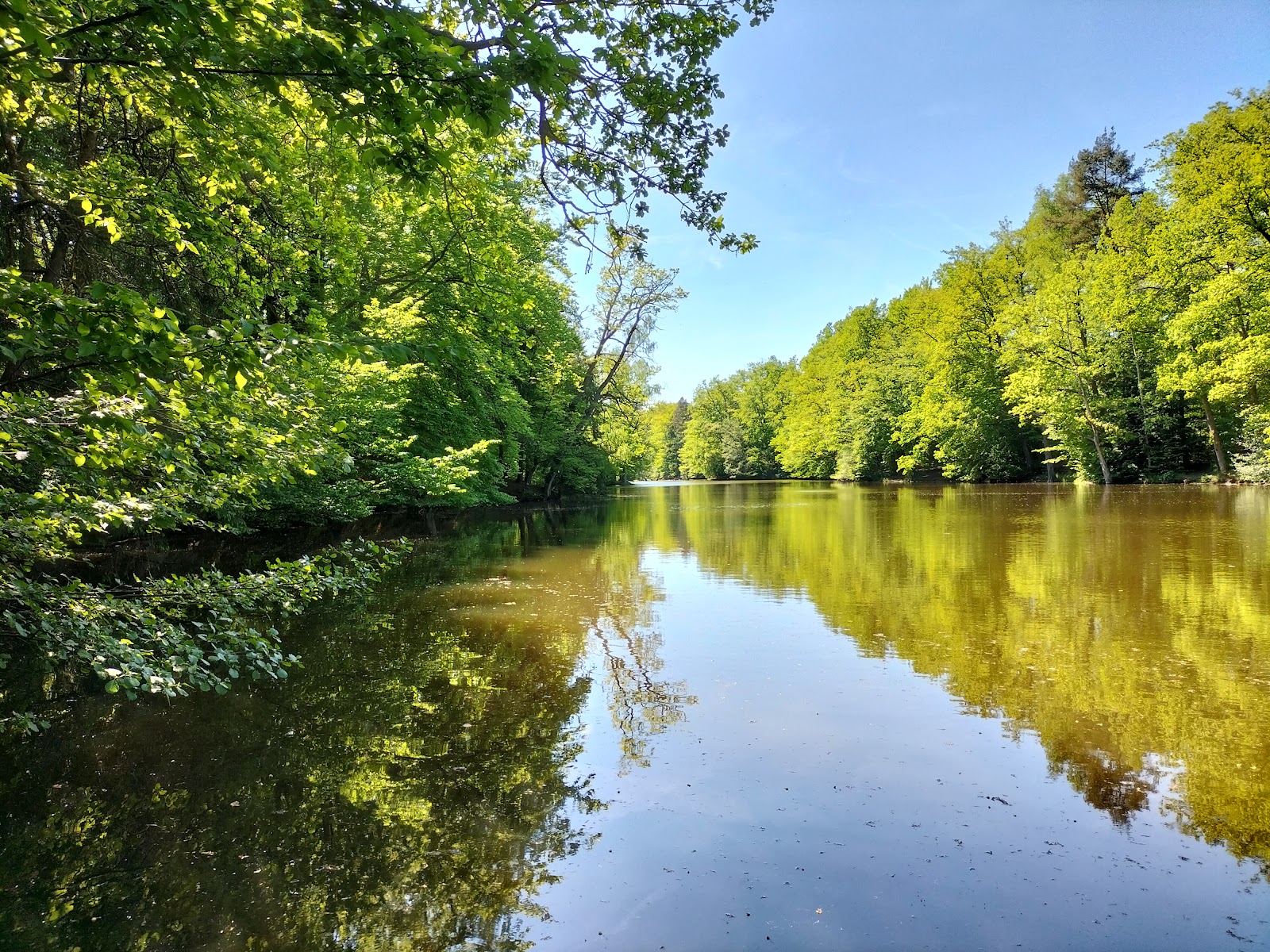
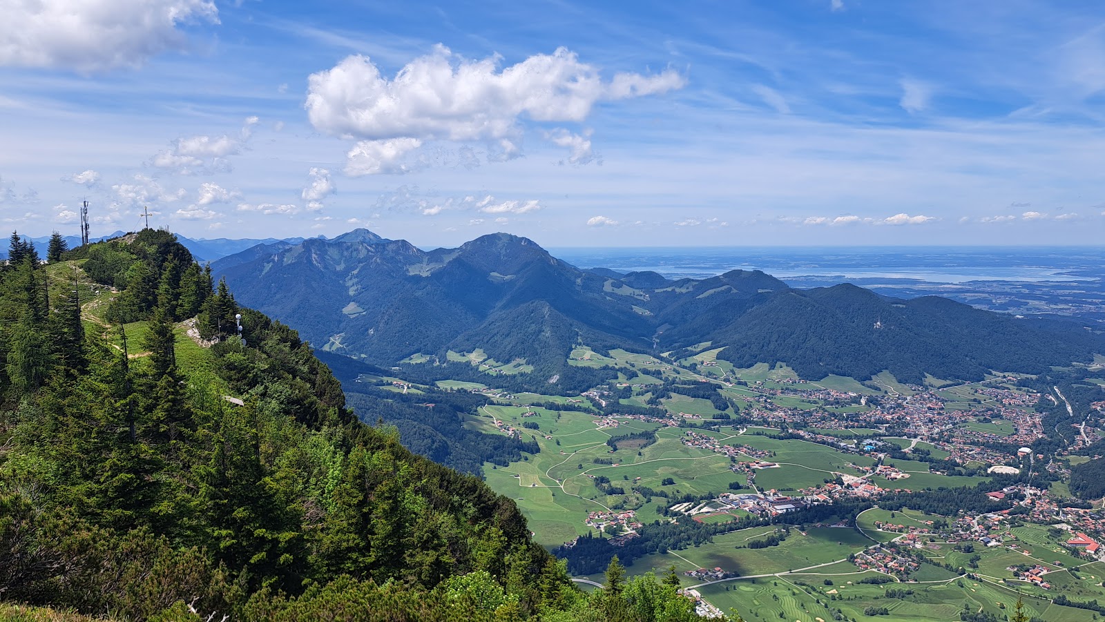
The Steinbachsee sits in the folds of the Chiemgau Alps above Ruhpolding, a lake shaped by the same glacial forces that carved this whole valley out of the limestone. The surrounding peaks — Rauschberg to one side, Hochfelln to another — give you a sense of scale that the village below, for all its charm, cannot quite provide.
This is a place people come to swim in summer and walk around in the quieter shoulder months, when the light on the water turns the colour of old pewter and the crowds thin to almost nothing.
💛 What travellers fall for
People who return to Ruhpolding regularly tend to treat the Steinbachsee as a morning destination — arrive early, before the summer heat settles in, and you often have the water largely to yourself. The walk around the lake is short enough to do before lunch, leaving the afternoon free for the higher trails toward Rauschberg or Hochfelln.
The story behind Steinbach Lake (Steinbachsee)
The Steinbachsee takes its name from the Steinbach, the stream system that feeds into this part of the Miesenbach valley above Ruhpolding, a village that has sat at around 650 metres above sea level for centuries, shaped by alpine farming, forestry and, later, tourism.
No single founding event defines the lake — it is a natural feature of the glacially worked landscape rather than a constructed one. Ruhpolding itself became more accessible to outside visitors after the railway branch line from Traunstein opened in 1895, which gradually drew walkers and summer guests into the surrounding terrain, the Steinbachsee among the quieter draws.
Good to know
Ruhpolding is reachable by rail from Traunstein in around 20 minutes, with onward connections to the Munich–Salzburg line. Salzburg Airport is roughly 46 km away. June through September offers the most reliable weather for the lake, though July brings the heaviest rainfall — pack accordingly.
Summers are warm and genuinely green, with August the hottest month and July the wettest — a waterproof layer is worth keeping close. From October onward temperatures drop sharply; by winter the area sits regularly below freezing, and snow is the norm rather than the exception.
Where is Steinbach Lake (Steinbachsee)?
More tickets & tours for Steinbach Lake (Steinbachsee)
Book directly at the provider
What travellers say about Steinbach Lake (Steinbachsee)
Great place ,ideal for nature walk and hiking.
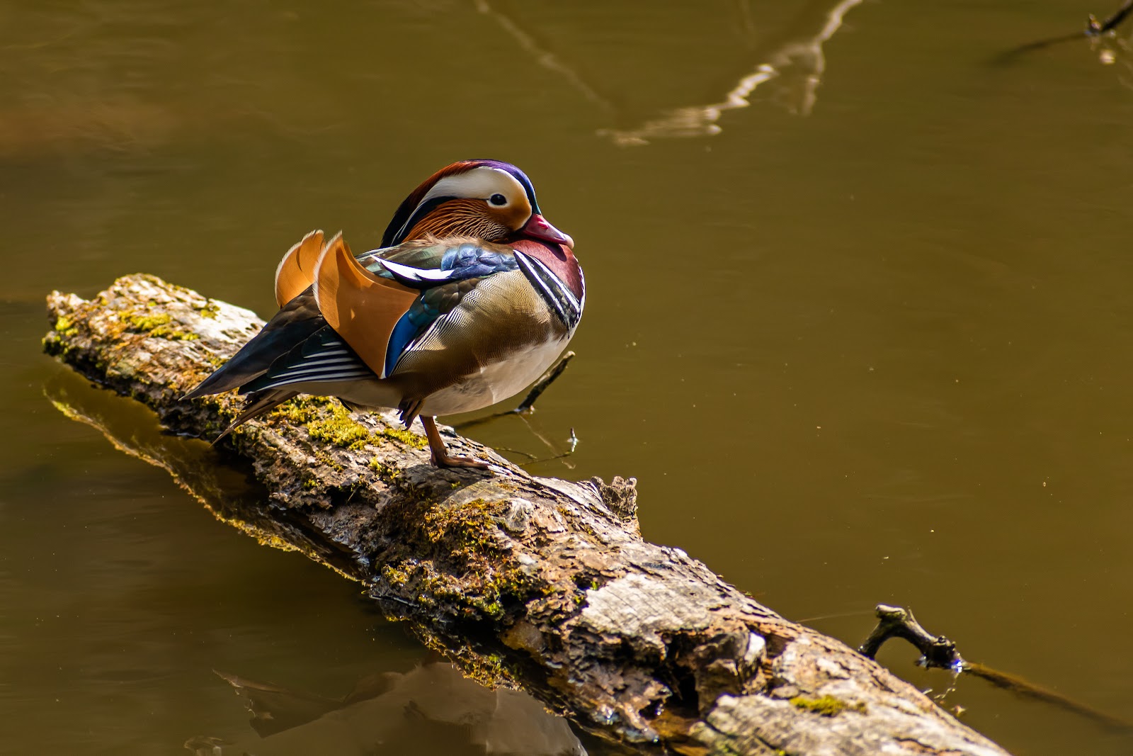
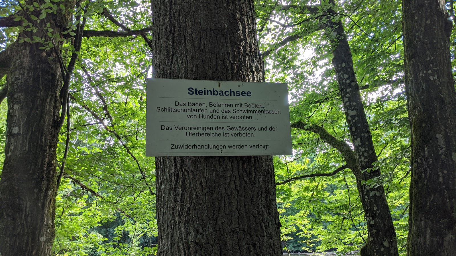
The lake begins at its narrowest point right by the free parking area for hikers, just past the barrier, after passing the sign for the Katzenbachhof beer garden. Many paths lead to the lake, but the most scenic and best access point is at the end of Steinbachsee, where you can also get directly into the water and continue in two directions. Signs indicate that swimming and dogs are not permitted. Nevertheless, it's a good opportunity to let your furry friend have a drink. Several birds can be seen on the lake, and the water is relatively clean. There are no trash cans, but there's also no litter. Katzenbachsee is even more beautiful and can be reached after another 7 to 10 minutes' walk via several paths. Overall, this area offers a great opportunity for hiking, cycling, walking, or taking your dog for a stroll.
The lake is easily accessible from the hiking parking lot, and the path around it is very natural, offering constant views of the water. It also makes a great starting point for a wonderful walk in the woods.
A small, rather inconspicuous body of water, but there is parking nearby. The circular path is set back slightly from the shore. I personally prefer Katzenbachsee.
A great lake where dog lovers like to meet and have fun.
More of Ruhpolding
Discover where to stay, what to do and the best deals for your trip.
Explore Ruhpolding →More attractions in Ruhpolding
All of Ruhpolding →
Background adapted from Wikipedia (CC BY-SA) · map data © OpenStreetMap contributors · ratings & place photos via Google · other photos with per-image credit. Ticket links may earn us a commission at no extra cost to you.