
Rauschberg
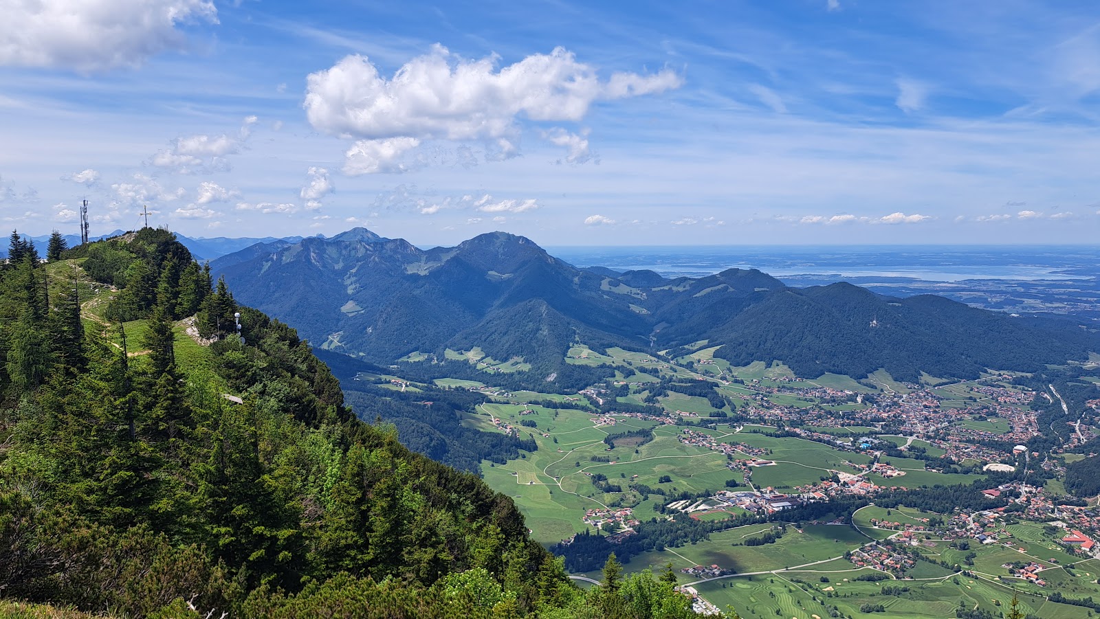
The cable car from Ruhpolding takes six minutes to climb 722 metres, and somewhere in that ascent the valley floor — the church spires, the biathlon stadium, the lake — arranges itself into something you can actually read. At the top, 1,626 metres up, the Rauschberg opens into a working mountain: an art mile, a forest spirit trail, a terrace where you can watch paragliders launch into the same airspace as the Chiemsee horizon.
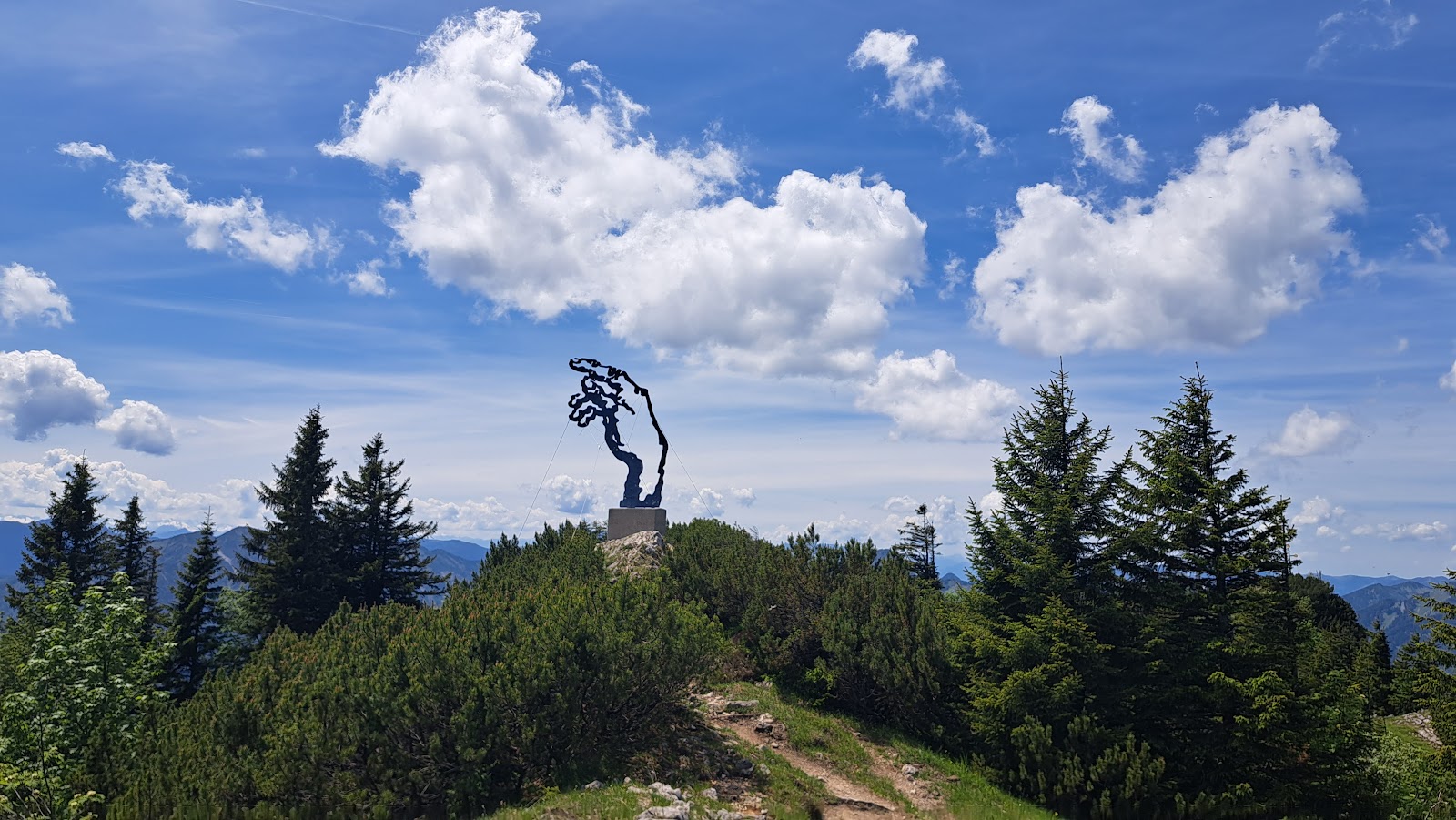
The summit restaurant serves currywurst and beer inside a room lined with dark timber, and on the terrace you can see all the way to the Chiemsee on a clear day. Somewhere along the ridge, Walter Angerer the Younger's six-metre sculpted hand rises from the ground, one finger pointing in the direction of Rome.
💛 What travellers fall for
People who come back tend to take the first cable car of the day — the 9:15 ascent — before the mid-morning groups arrive. The Holzgeisterweg, a 1.43-kilometre trail starting at the mountain station, is short enough to walk before lunch and built around a forest spirit named Kölli, which makes it worth doing even without children in tow.
The story behind Rauschberg
The name Rauschberg reaches back to the mountain's mining past: 'Rausch' refers to a lead-bearing rock that was extracted here before the valley turned to tourism. The cable car opened in 1953, threading 1.5 kilometres of cable between the valley and the summit station, and two years later the mountain massif was designated a nature reserve and bird sanctuary — a designation that has shaped what you find here ever since.
The more recent cultural layer belongs to Walter Angerer the Younger, who created the art mile and designed the cable car's glass cabins. His 'Adam's Hand' sculpture, a stylised hand six metres tall, was placed on the summit with its index finger aimed toward Rome — a gesture that manages to be both absurd and oddly precise.
Good to know
The cable car runs from a station reachable by resort bus or a one-hour riverside walk from Ruhpolding. If you're staying locally, a guest card covers one free return trip. Pricing and hours have shifted since 2018 and 2020 respectively — confirm current details before you go. Mid-morning (roughly 11am to 1:30pm) sees the heaviest cabin traffic.
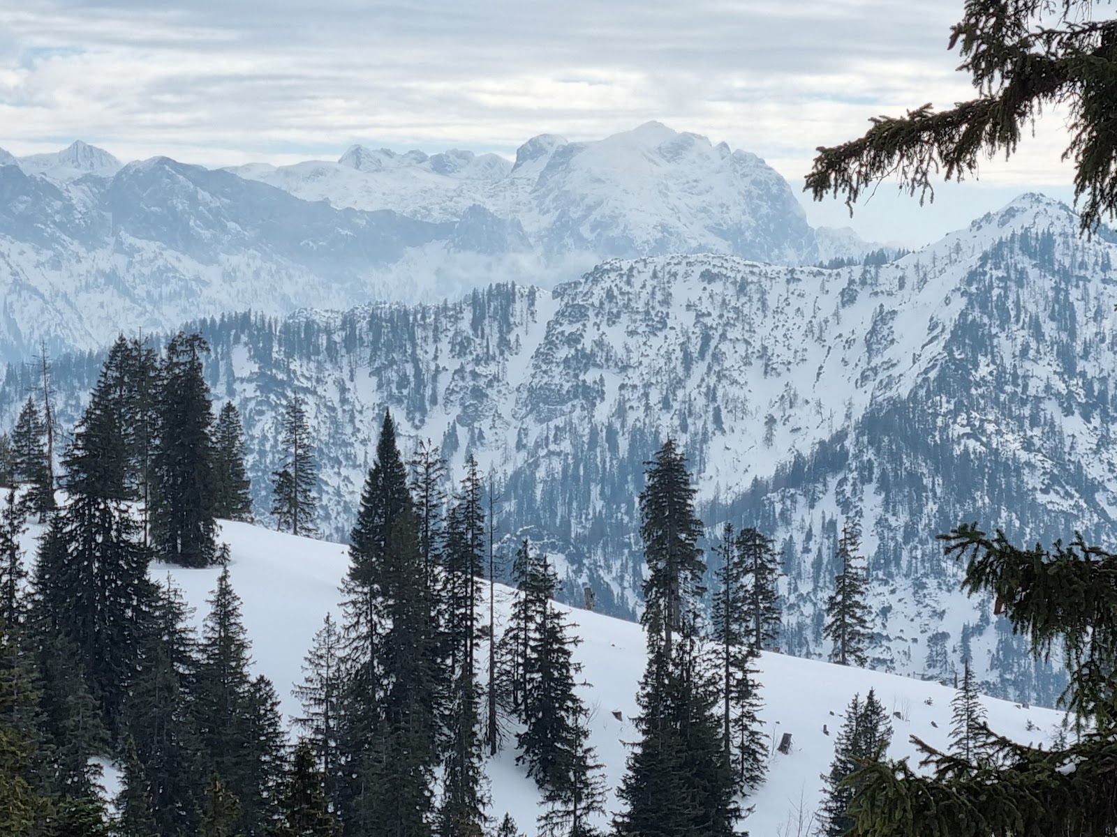
Summer brings paragliders and hang-gliders using the summit as a launch point, along with the clearest long-distance views toward the Chiemsee. Winter covers the trails in snow and the toboggan run at the Rauschberghaus comes into use; the cable car continues to operate but the last ascent is an hour earlier than in summer.
Where is Rauschberg?
More tickets & tours for Rauschberg
Book directly at the provider
What travellers say about Rauschberg
Cable car up to top. Great area to walk around and see the views!!! Great food at top!
Some info for those wanting to climb this moutain. The cable car is closed and they are building a new one to replace it (in theory). Currently no work has started so who knows when it will be. The bar/restaurant at the top are therefore also closed. If you want to hike up to the top: we took 2h10 to go up at an (above) average pace and doing some small mistakes/side wandering. To go down we took 1h20. So in total we did 14km, 900+ and took 3h30. Note that the indicative panels indicate 3h30 to go up only. If you follow the main path, it is very clearly marked and very « easy ». It is a well maintained and wide path. The only difficulty is the distance and gradient (7km one way, 1000m d+) but that’s up to your fitness. We started from Aschenau. To sum it up: no cable car. Go by foot. 7km one way. Ps: there is a danger sign , if you don’t speak German, no worries it is about being careful with your dogs. Some animals might have babies and be protective.
Amazing views on a clear day...so many peaks...360° views
Top
A great half-day trip. On a clear day, you have fantastic views from Lake Chiemsee to the main ridge of the Alps. We've been up there many times, partly because the gondola ride is free with the Chiemgau Card. The steep ascent along the cliffs in the gondola is quite an experience. There's a viewing platform right next to the station at the top. However, we also recommend the 20-minute hike to the actual summit.
More of Ruhpolding
Discover where to stay, what to do and the best deals for your trip.
Explore Ruhpolding →More attractions in Ruhpolding
All of Ruhpolding →
Background adapted from Wikipedia (CC BY-SA) · map data © OpenStreetMap contributors · ratings & place photos via Google · other photos with per-image credit. Ticket links may earn us a commission at no extra cost to you.