
Chiemgau Arena
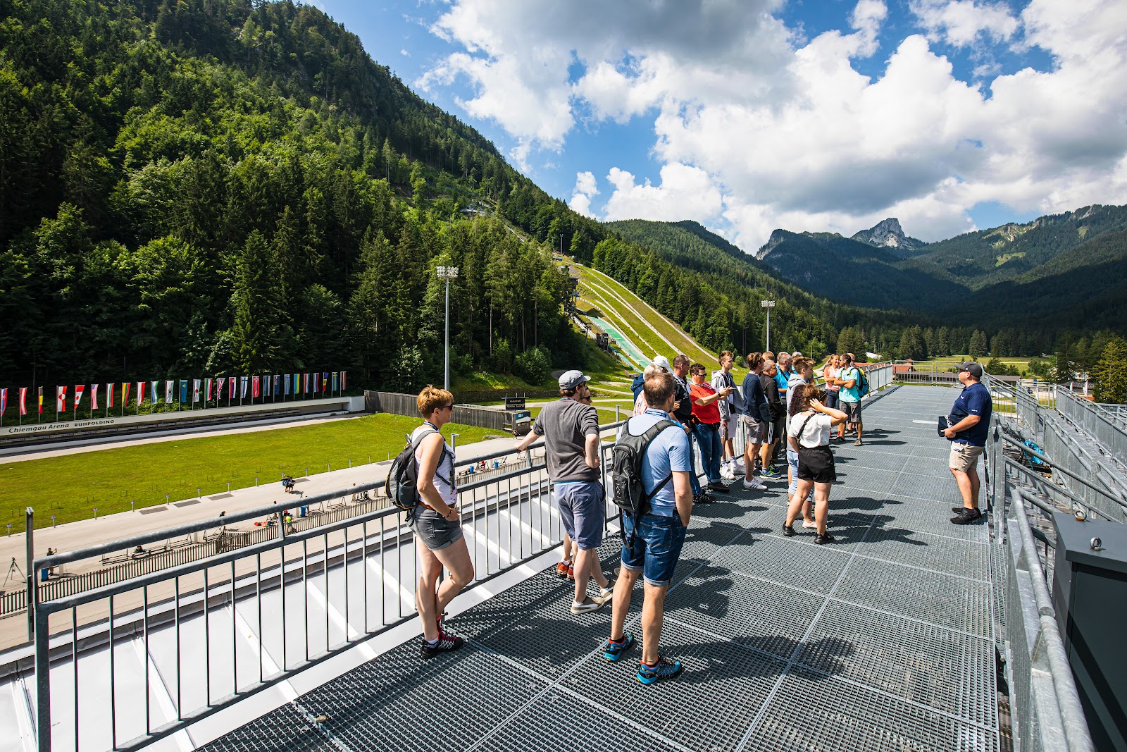
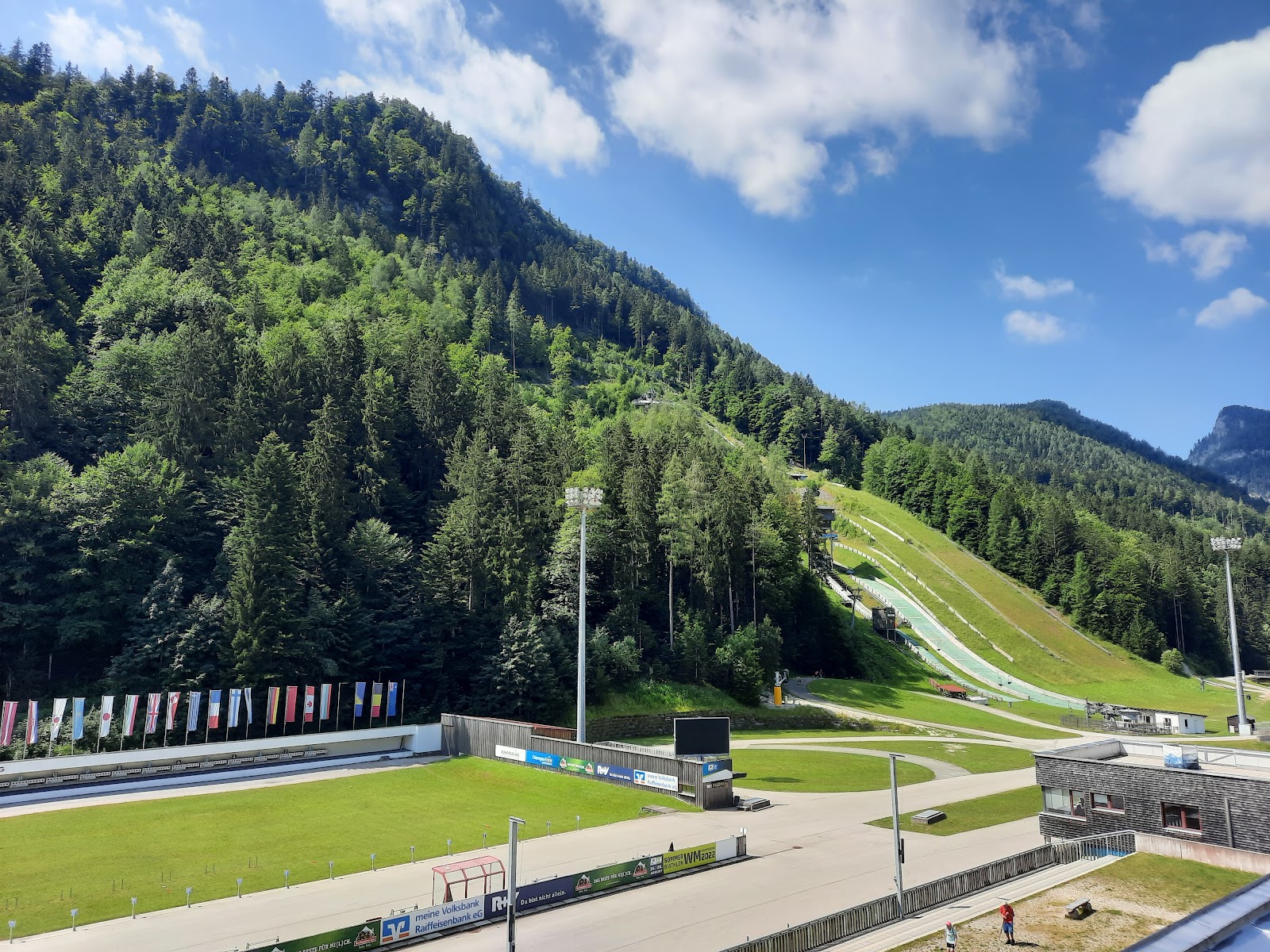
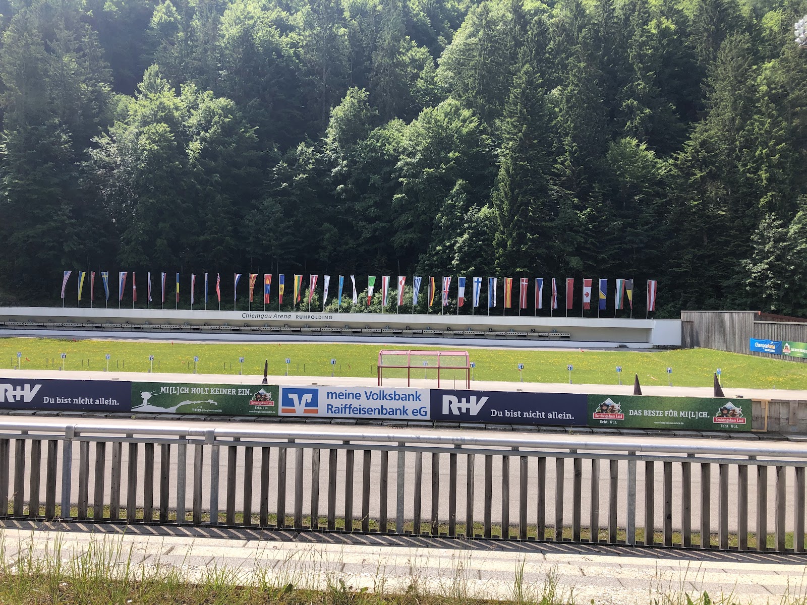
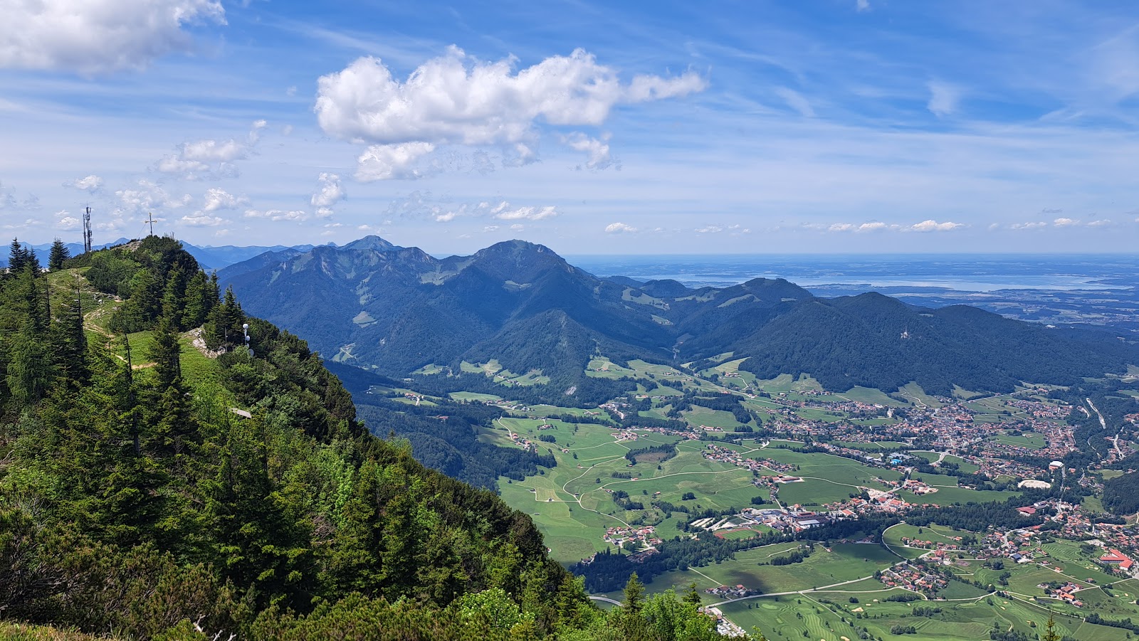
The Chiemgau Arena sits in a valley floor between the Unternberg and Zirmberg slopes, at 700 metres, where the B305 road south toward Reit im Winkl runs close enough that you can hear the crowd from the car. Thirty shooting lanes face a hillside at 50 metres — a distance that looks easy until you understand that biathletes arrive at them gasping, heart rate spiking, and must still hold a rifle steady enough to hit a target the size of a coin.
This is one of the few venues in Central Europe with a dedicated air rifle range alongside the standard outdoor course, and the only one where a snow depot — insulated under styrofoam and white tarp each spring — means the trails are ready before autumn has properly arrived.
💛 What travellers fall for
People who come back tend to book the Tuesday or Friday guided tour rather than just wandering in on event day. The two-hour walk takes you through the Ricco-Groß-Haus training facility and out to the shooting range itself, where the geometry of the whole course suddenly makes sense. Holders of the Chiemgau Card get in free — worth knowing before you pay.
The story behind Chiemgau Arena
The site opened in 1964 as the Stadion am Zirmberg, a modest local facility. Planning for something more serious began in 1972 under Hans Pichler and Theo Merkel; construction started in 1977, and two years later the arena hosted its first Biathlon World Championships — a remarkable turnaround for a small Bavarian municipality. Further World Championships followed in 1985, 1996, and 2012, each leaving a physical mark on the complex.
The 2009 opening of the Ricco-Groß-Haus added treadmill, weight and physiotherapy facilities. Ahead of the 2012 championships, the old function building and a temporary container structure from 1996 were replaced by a permanent multi-storey building. The name Chiemgau-Arena came in 2005, anchoring the venue to its broader regional identity rather than just the hill behind it.
Good to know
Drive in via the A8 (exit 112, Traunstein/Siegsdorf); during the January World Cup, shuttle buses run from designated parking in Ruhpolding and Inzell. The arena is open daily, but guided tours run only Tuesdays at 10:30 and Fridays at 14:00. Note: strollers and wheelchairs cannot do the full tour route.
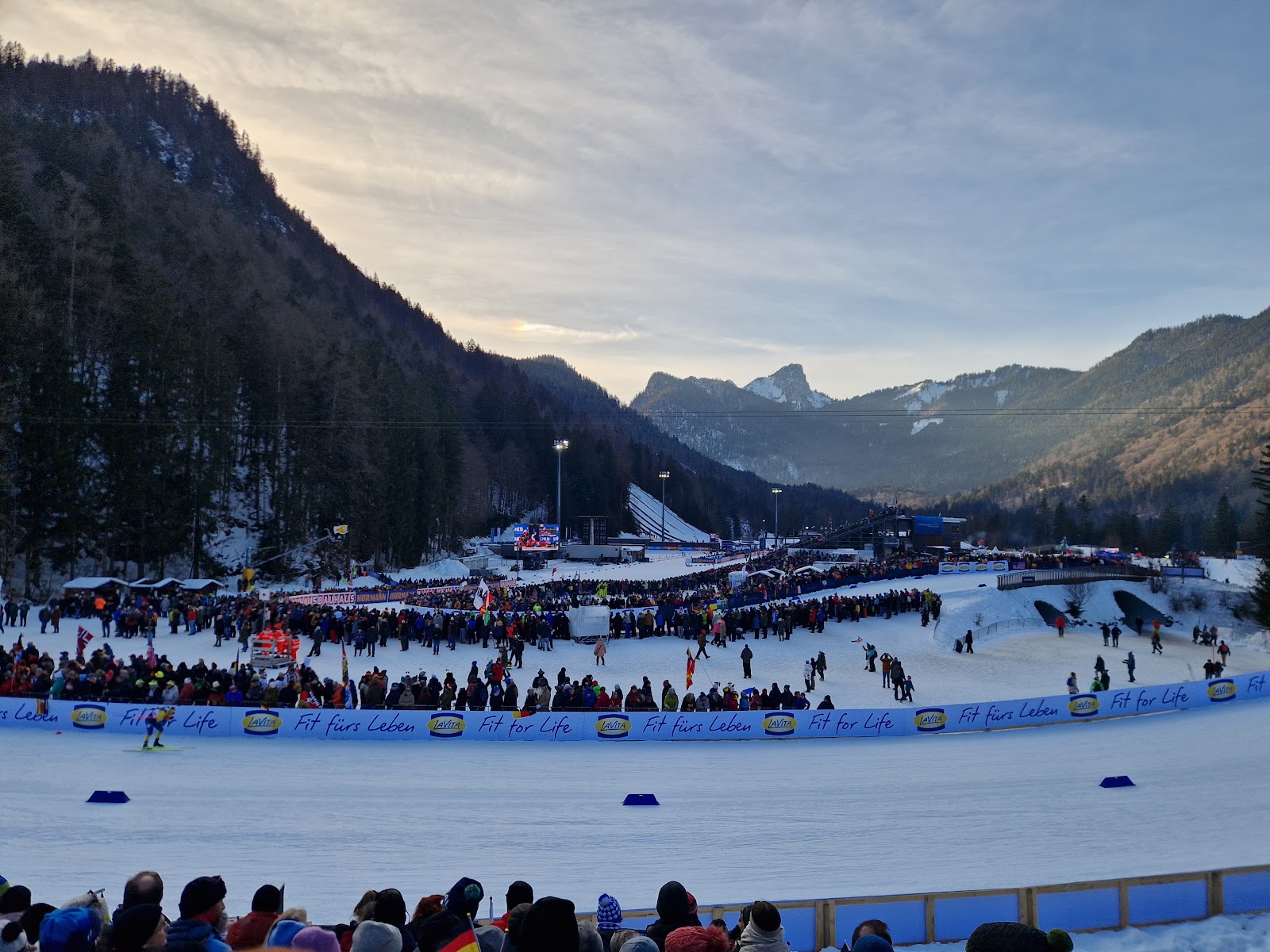
January — World Cup month — means cold, reliably snowy conditions; temperatures regularly sit below freezing and the valley holds its snow well. Summer visits are comfortable for walking the roller-ski track or attending a guest shooting session, though afternoon showers are common in the Alps from June onward.
Where is Chiemgau Arena?
More tickets & tours for Chiemgau Arena
Book directly at the provider
What travellers say about Chiemgau Arena
Was staying in Rupholding in October and went on a tour which was super interesting! Hoping to come back to watch one of the biathlon welt cups
Nice to see in real life,and no snow
The world Masters ski-OL '25 was organised here. Has a restaurant and had good parking spaces for us. They have a guided tour of the Biathlon area but need to be reserved in advance as it is only on certain days of the month
My favorite biathlon arena! ❤️
Such a crazy biathlon arena!! That's all I can say, the piste are great and the shooting range is amazing. Toilets are always clean and their's lots of them scattered around aswell. The restaurant is small but nice and cheap and the staff a freindly.
More of Ruhpolding
Discover where to stay, what to do and the best deals for your trip.
Explore Ruhpolding →More attractions in Ruhpolding
All of Ruhpolding →
Background adapted from Wikipedia (CC BY-SA) · map data © OpenStreetMap contributors · ratings & place photos via Google · other photos with per-image credit. Ticket links may earn us a commission at no extra cost to you.