
Palmeraie
North of the medina, where the N8 road to Fez peels away from the city, 100,000 palm trees spread across 140 square kilometres of flat, sun-bleached earth. The Palmeraie is not a park — it is an agricultural landscape that has been quietly feeding and watering Marrakech since the Almoravid dynasty planted it around 1070. Irrigation channels called khettaras still run underground here, tapping aquifers and threading water through the groves the same way they always have.
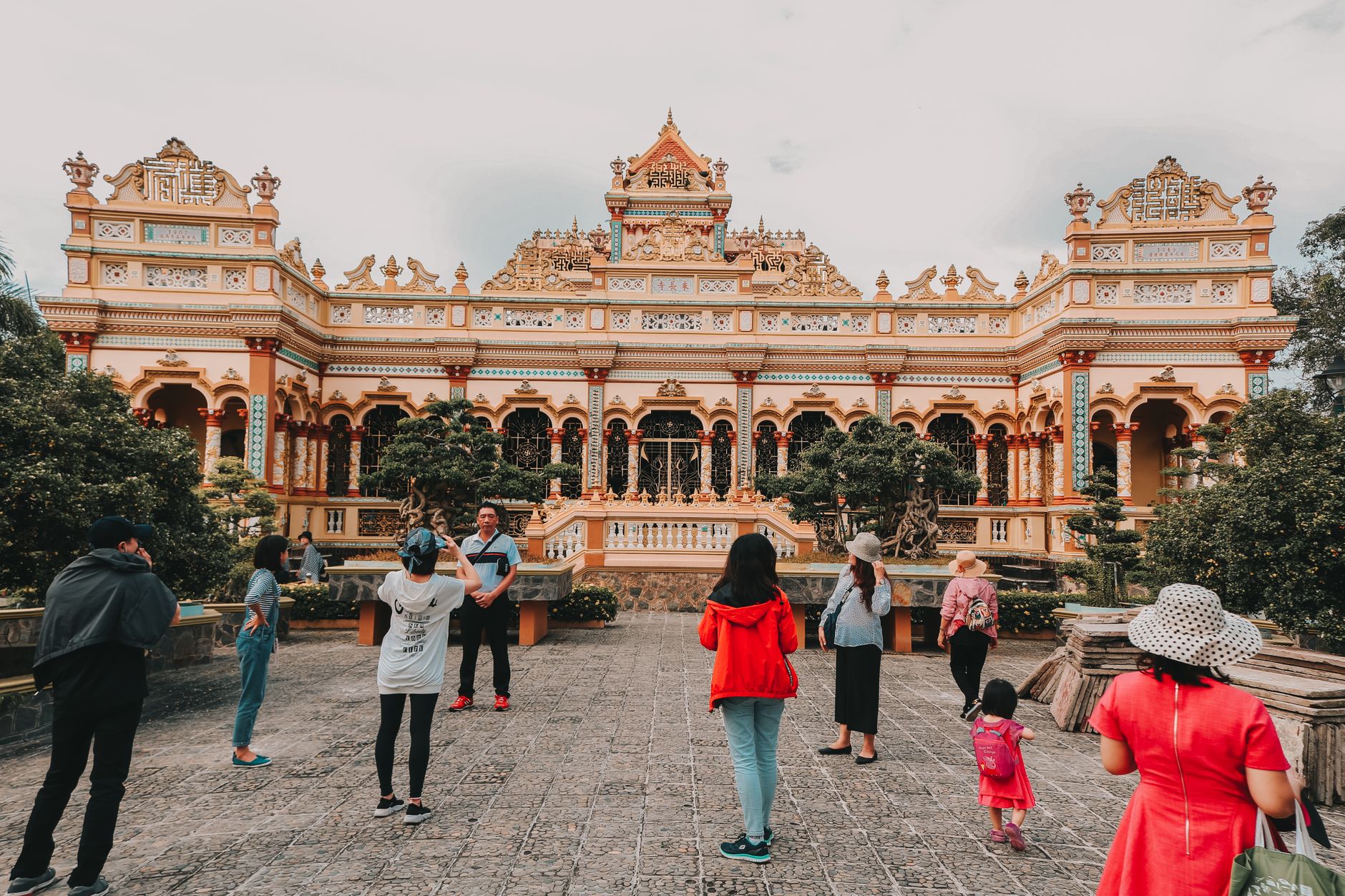
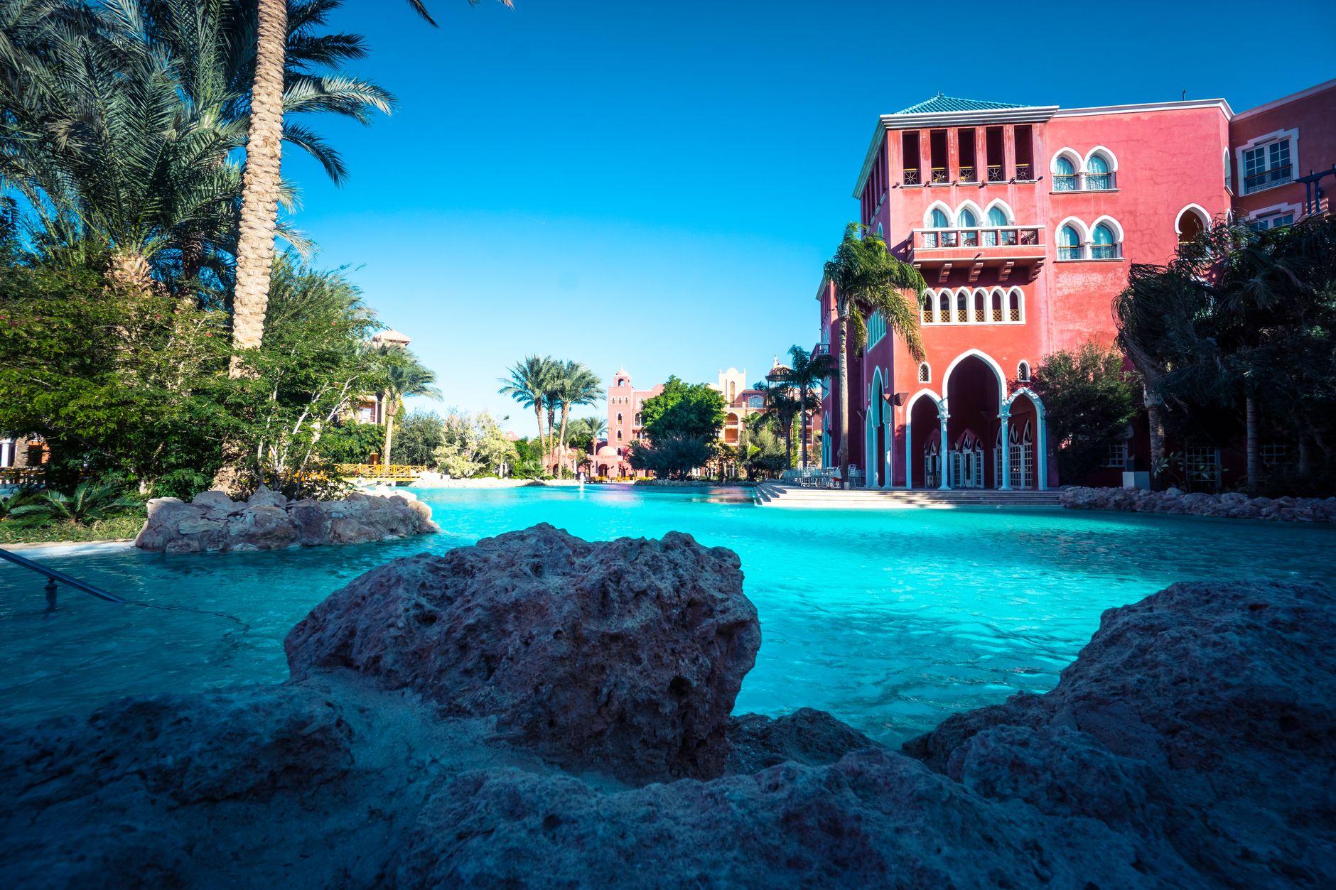
Today the palms share the ground with resort hotels, quad-bike tracks, and walled villas, yet older clusters survive where local families still cultivate dates and palm hearts. The Palm Grove Museum, set inside a two-hectare park in Douar Tounsi, brings contemporary art into that same landscape — an unlikely but honest pairing.
💛 What travellers fall for
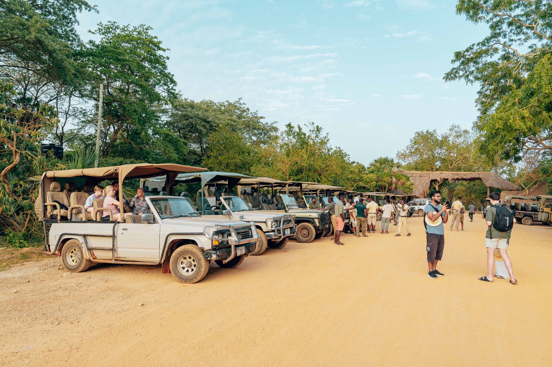
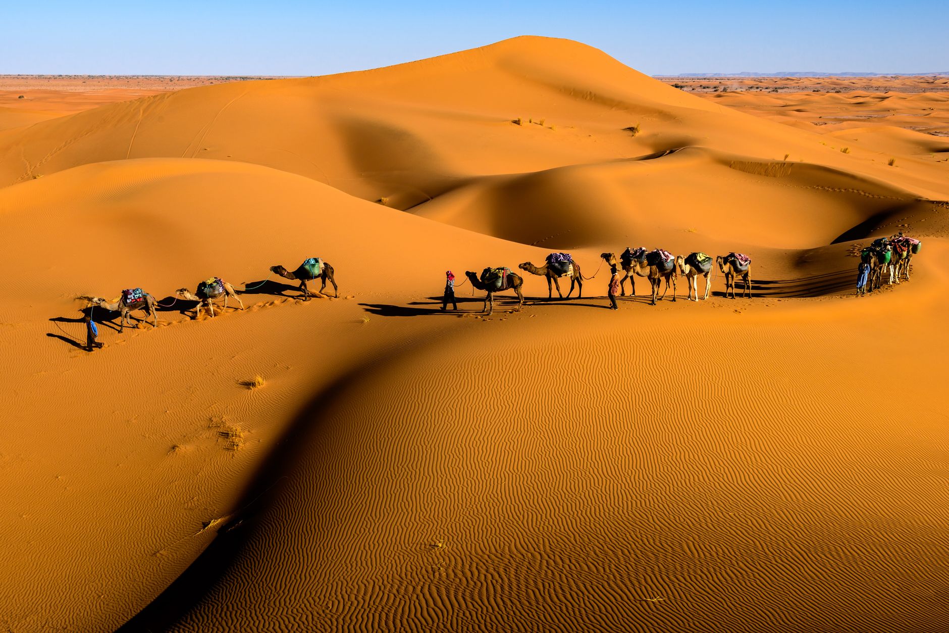
People who come back tend to time it carefully. Go out on a camel or horse early — by nine the light is still soft and the dust hasn't risen yet. Skip the organised sunset tours; the late-afternoon window is short and the groups are large. The mint tea stop in a Berber village along the circuit is worth lingering over.
Deals in Palmeraie
Book directly at the provider

How Palmeraie came to be
Sultan Youssef ben Tachfine founded the Palmeraie at roughly the same moment he established Marrakech itself, around 1070. The scale was deliberate: more than 100,000 palms planted across 13,000 hectares, sustained by a network of khettaras — underground channels engineered to carry water from aquifers down to the groves without evaporation. The oasis produced dates, palm oil, palm wine, timber and palm hearts, functioning as an agricultural engine at the city's edge.
The 20th century brought a different kind of pressure. Early regulations held that no building could rise taller than the palm trees, keeping the skyline low and green. That discipline eroded as international tourism expanded, and resort hotels and leisure complexes moved in. The grove has lost roughly 30 percent of its area in the last two decades — a contraction that makes the remaining cultivated plots and working khettaras all the more worth paying attention to.
Who and what shaped it
People who shaped it
Landmark buildings
See Palmeraie in motion
Plan your visit
On the map
When to go
Spring (March to May) and autumn (September to November) offer the most comfortable conditions for spending time outdoors here. Winter days are mild and sunny around 18-20°C, though nights turn cold quickly after sunset; summer is genuinely harsh, with temperatures regularly above 40°C and little shade across the open grove.
Right now
↡ Shopping areas


Background & history adapted from Wikipedia (CC BY-SA) · specs from Wikidata (CC0) · weather from Open-Meteo · map data © OpenStreetMap contributors · photos from Wikimedia Commons / Unsplash with per-image credit. No third-party reviews or social posts reproduced.